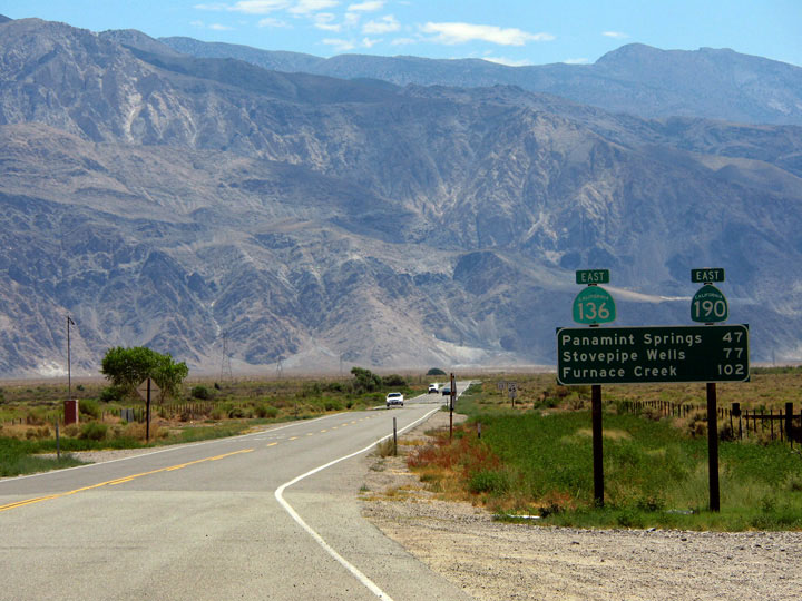
| Highway 136 |
 |
| (California State Route 136) |
|
|
|
|
|
|
|
|
|
|
|
|
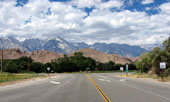
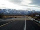
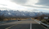
| Lone Pine - Highway 395 (U.S. Route 395) |
|
 |
|
 |
|
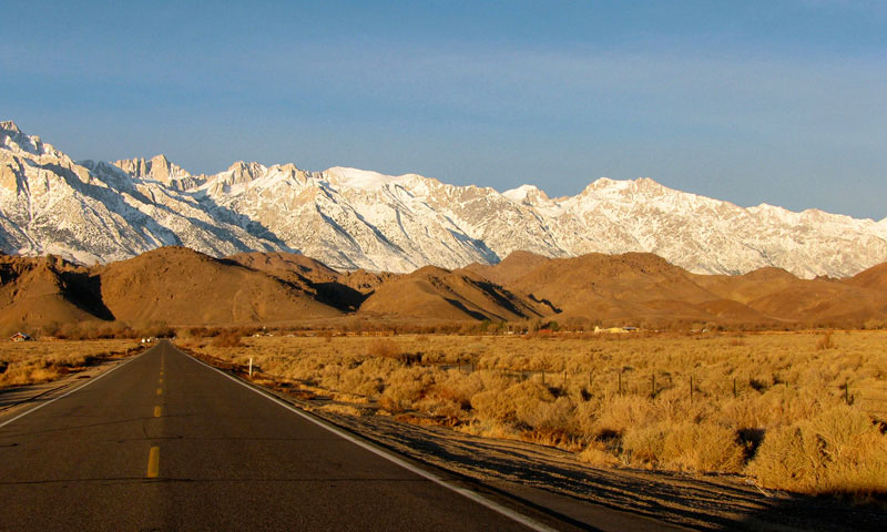
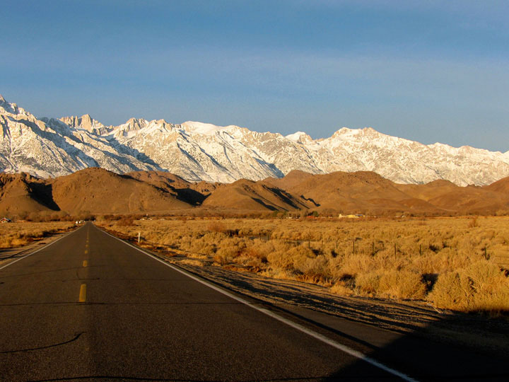
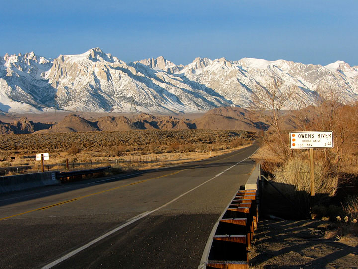
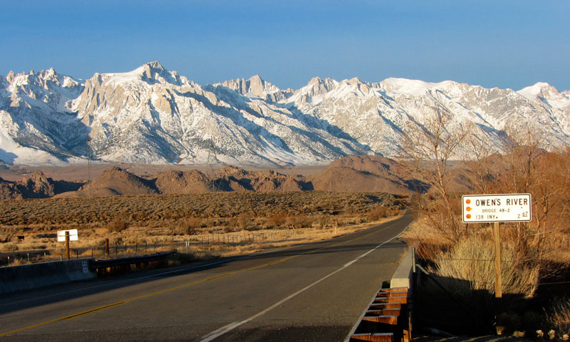
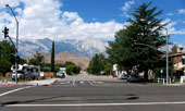
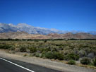
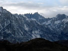
Mount Langley, Lone Pine
Peak and Whitney Portal Road
from U.S. 395, Lone Pine |
|
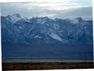
Lone Pine Peak and Mount
Whitney from Chevron Gas
Station off U.S. 395 |
|
|
 |
|
 |
|
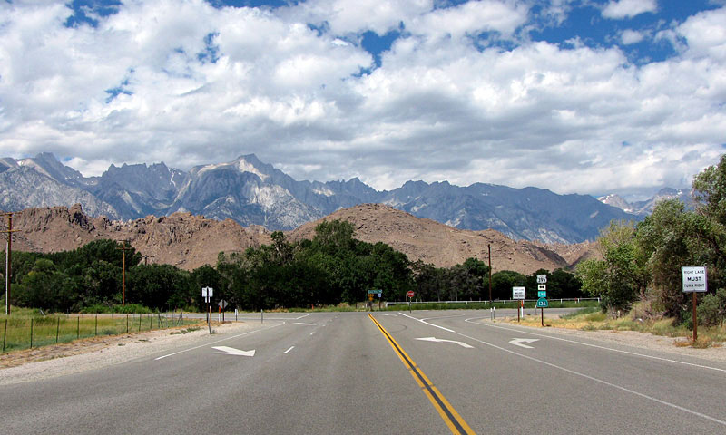
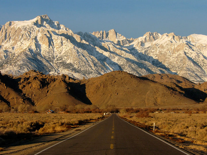
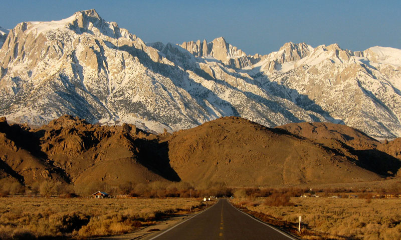
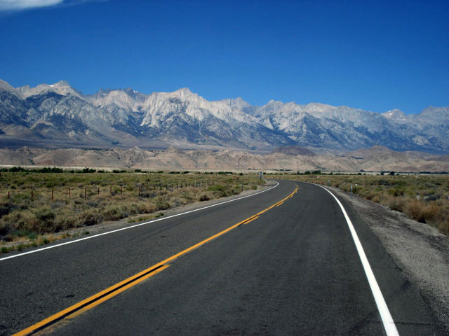
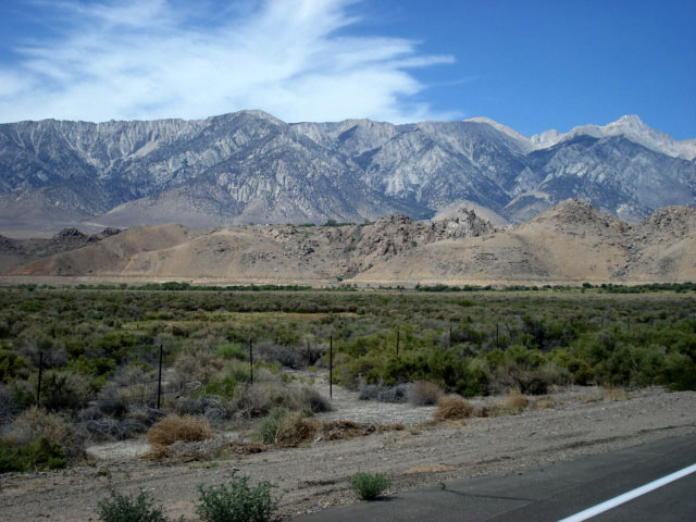
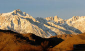
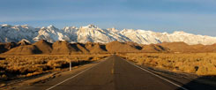
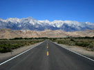
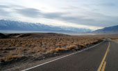
Lone Pine Peak, Mount Whitney and Highway 395
from Highway 136 |
|
|
|
|
|
|
|
 |
|
 |
|
 |
|
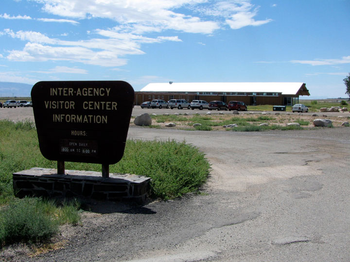
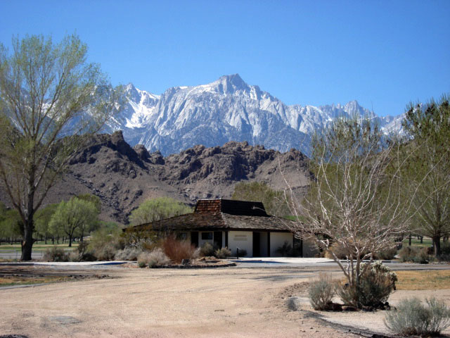
Lone Pine Peak
and old Visitor Center |
|
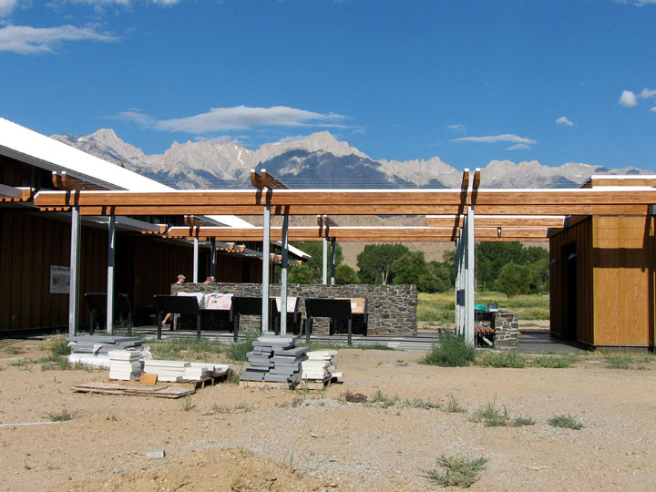
Eastern Sierra Interagency
Visitor Center
from Highway 136 |
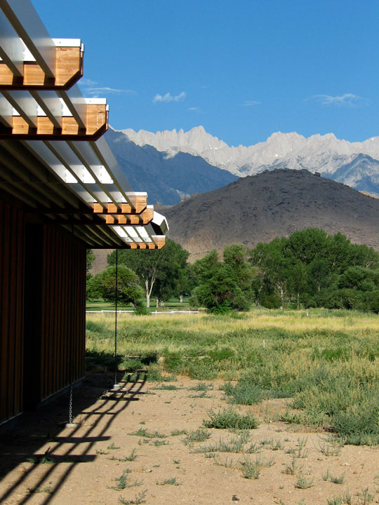
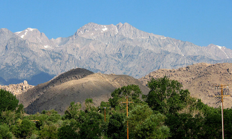
|
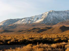
Mount Williamson from
Eastern Sierra Interagency
Visitor Center |
|
|
|
|
|
|
|
|
|
| Highway 136 [Cont'd] |
|
 |
|
 |
|
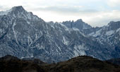
Lone Pine Peak, Mount Whitney, Mount Russell
and Alabama Hills from turnout on Highway 136 |
|
|
 |
|
 |
|
Mount Langley, Lone Pine Peak, Mount Whitney, Mount Russell,
Mount Williamson and Alabama Hills from turnout on Highway 136 |
|
|
|
 |
|
 |
|
|
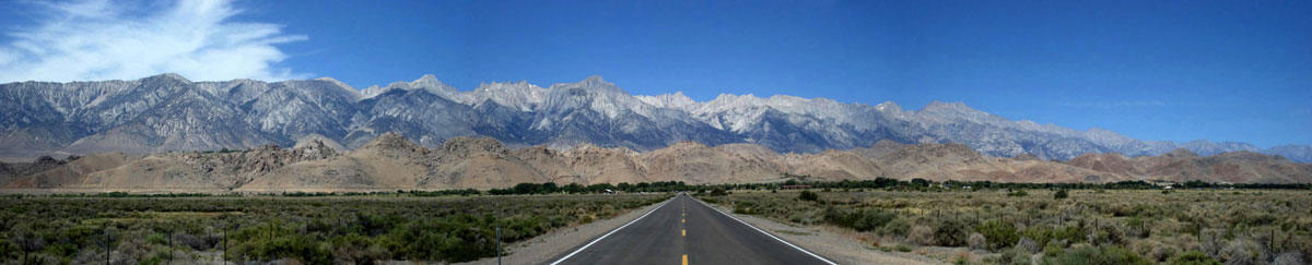
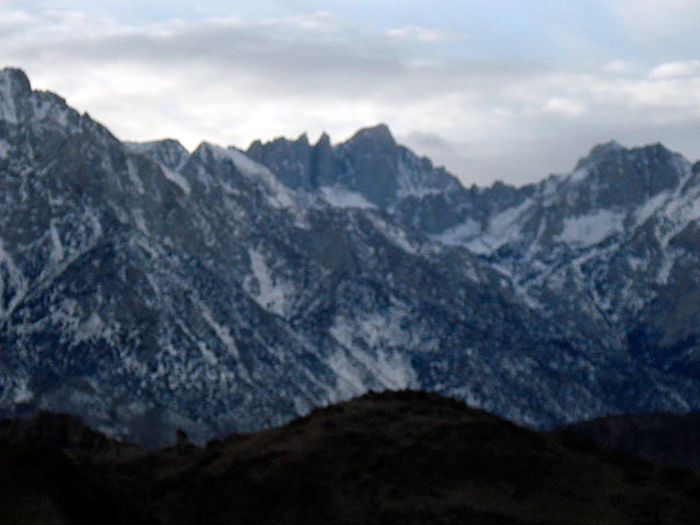
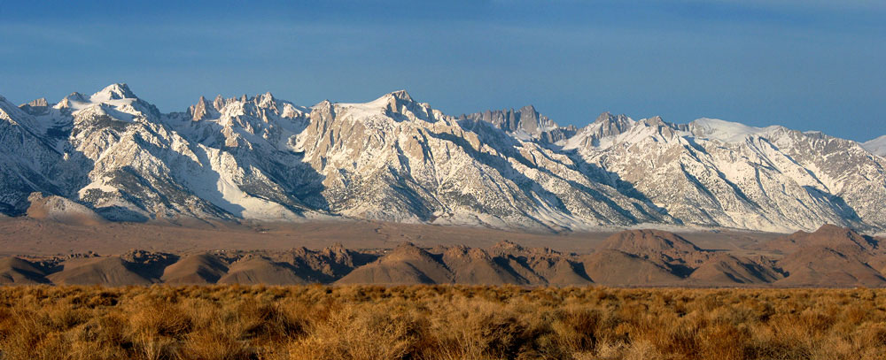
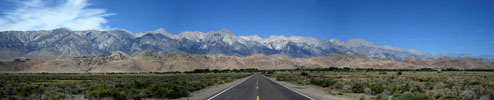
Mount Langley, Lone Pine Peak, Mount Whitney, Mount
Russell and Mount Williamson from Highway 136 |
|
|
 |
|
Mount Langley, Lone Pine Peak, Mount
Whitney, Mount Russell, Mount Williamson
and Alabama Hills from Highway 136 |
|
|
 |
|
 |
|
Horseshoe Meadows Road and Wanoga Peak
from turnout on Highway 136 |
|
|
|
|
| Highway 136 [Cont'd] |
|
 |
|
|
|
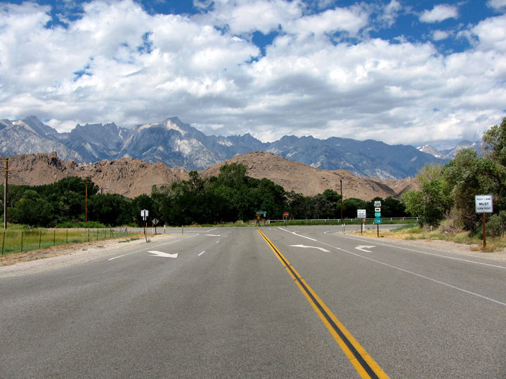
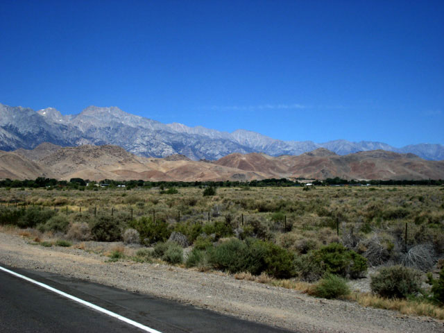
| Highway 136 (west) |
|
|
|
 |
|
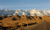
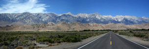
Mount Langley, Lone Pine Peak, Mount Whitney, Mount
Russell and Mount Williamson from turnout on Highway 136 |
|
|
 |
|
 |
|
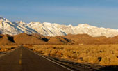
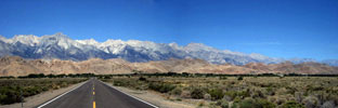
Mount Langley, Lone Pine Peak, Mount Whitney, Mount
Russell and Mount Williamson from turnout on Highway 136 |
|
|
|
 |
|
 |
|
 |
|
|
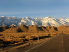
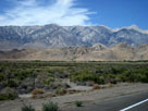
Mount Langley, Lone Pine Peak, Mount Whitney, Mount
Russell and Mount Williamson from Highway 136 |
|
|
|
|
| Highway 136 [Cont'd] |
|
 |
|
 |
|
 |
|
|
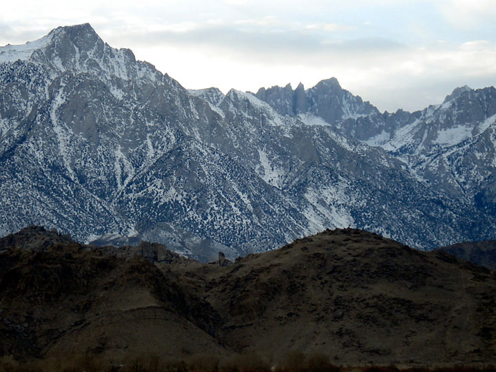
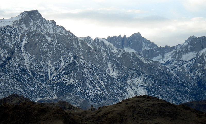
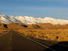
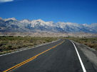
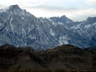
Lone Pine Peak and Mount Whitney
from turnout on Highway 136 |
|
|
|
|
|
|
|
 |
|
 |
|
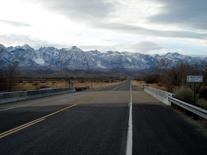
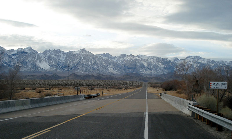
| Highway 136 (west) crossing Owens River |
|
|
|
|
| Highway 136 [Cont'd] |
|
 |
|
 |
|
Mount Langley, Mount
Corcoran and Lone Pine
Peak from Highway 136 |
|
Lone Pine Peak, Mount
Whitney and Mount Russell
from Highway 136 |
|
|
|
|
| Dolomite Loop |
|
 |
|
|
 |
|
|
|
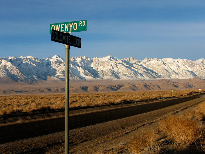
Mount Langley, Lone Pine
Peak, Mount Whitney
and Dolomite Loop
from Owenyo Road |
|
|
|
|
|
| Owenyo Road (Owenyo Lone Pine Road) |
|
|
|
|
 |
|
 |
|
Mt. Langley, Mt. Corcoran, Lone Pine Peak,
Mt. Whitney and Mt. Russell from Owenyo Road |
|
Mine in Inyo Mountains
from Owenyo Road |
|
|
|
|
|
|
|
|
|
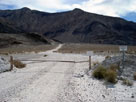
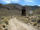
| Cerro Gordo Road |
|
|
 |
|
|
 |
|
 |
|
 |
|
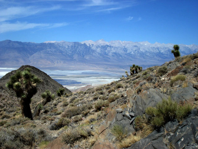
Inyo Mountains and
old mine from
Cerro Gordo Road |
|
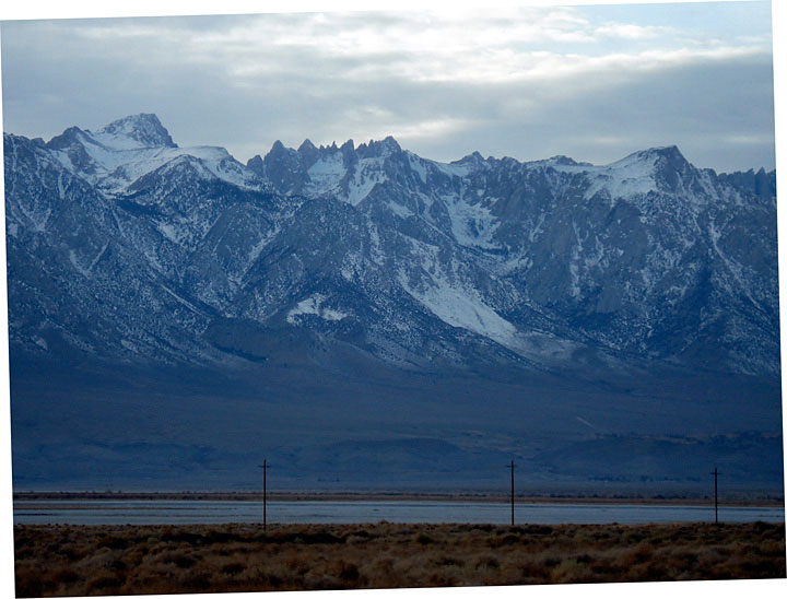
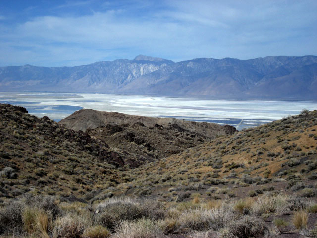
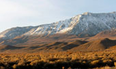
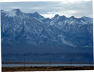
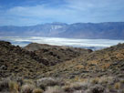
Sierra Nevada (Mount
Langley) and Owens Lake
from Cerro Gordo Road |
|
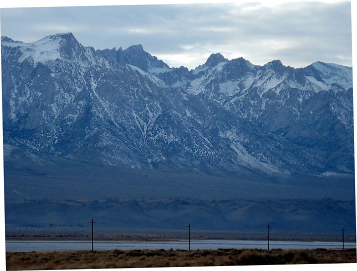
Sierra Nevada (Olancha
Peak) and Owens Lake
from Cerro Gordo Road |
|
|
|
|
| Highway 190 (California State Route 136) |
|
 |
 |
|
|
 |
|
|
|
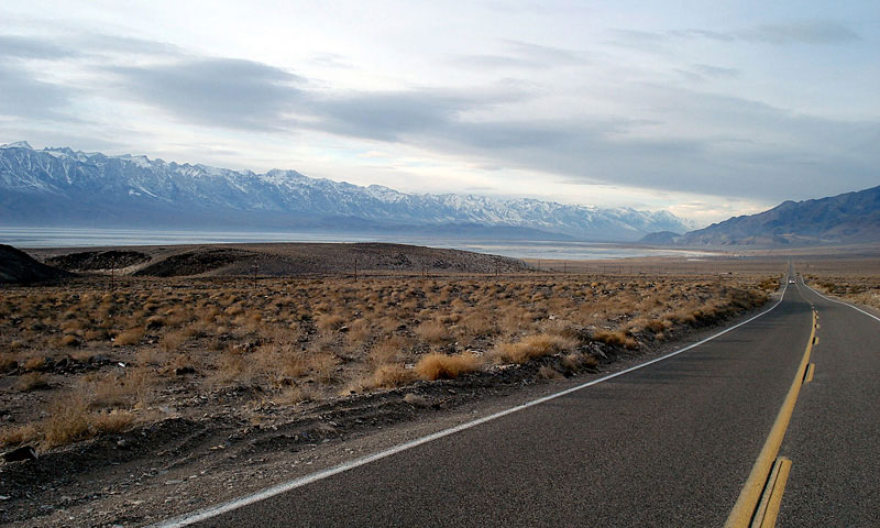
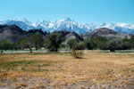
Sierra Nevada and Owens
Lake from Highway 190 (west) |
|
|
|
|
|
| Highway 136 (California State Route 136) Photos on Web |
|
|
|
|