| Highway 168 |
 |
| (California State Route 168) |
|
| Original photo collection of sceneries along Highway 168 (California State Route 168, CA 168), a California State Highway running in Eastern Sierra (Inyo County, California, USA). |
|
|
|
|
| Highway 395 (U.S. Route 395) |
|
 |
|
 |
|
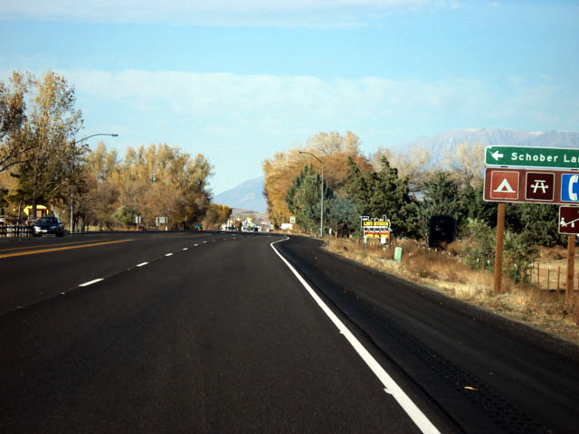
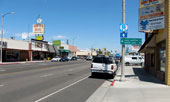
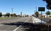
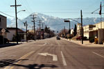
South Main Street (U.S. 395 north,
CA 168 west), Bishop |
|
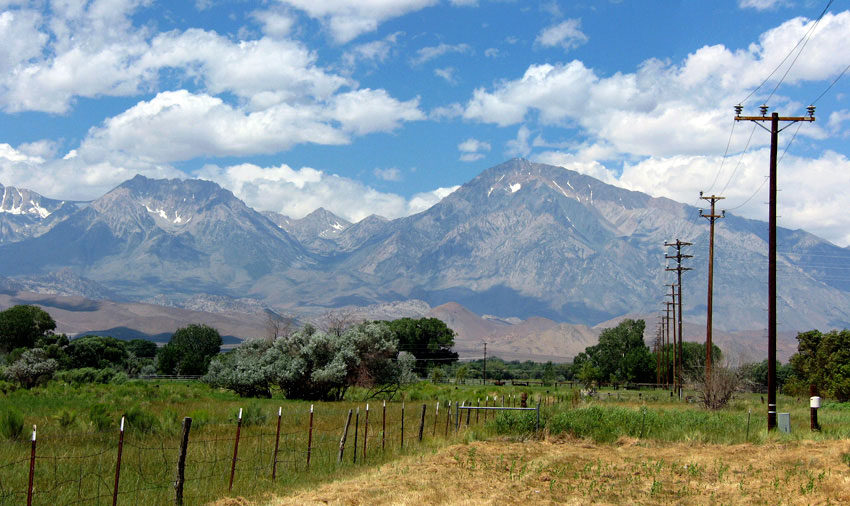
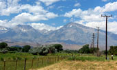
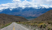
Basin Mountain and Mount Tom
from U.S. 395 (CA 168), Bishop |
|
|
 |
|
 |
|
| Highway 395 north (Highway 168 west) into Bishop |
|
|
 |
|
|
|
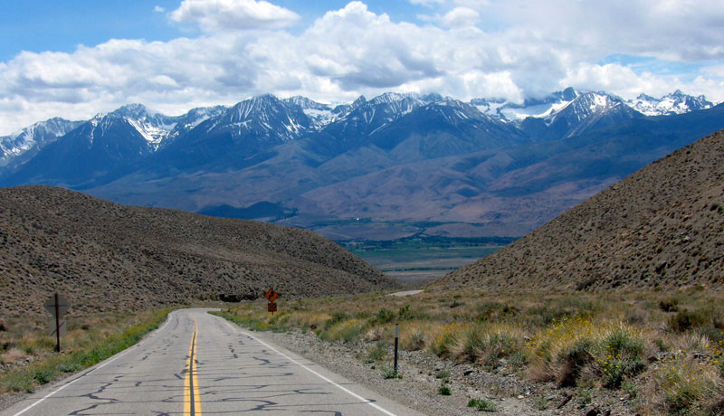
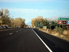
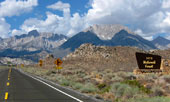
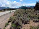
Highway 395 south (Highway
168 east) near Big Pine |
|
|
|
|
|
| Highway 168 West |
|
 |
|
 |
|
 |
|
Mount Tom and West Line
Street (CA 168 west)
off Highway 395, Bishop |
|
Mount Humphreys, Basin
Mountain and Highway 168 |
|
Intake II from
Highway 168 |
|
|
 |
|
 |
|
 |
|
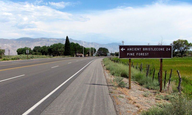
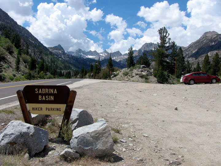
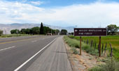
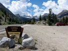
Highway 168 (west)
and North Lake Road |
|
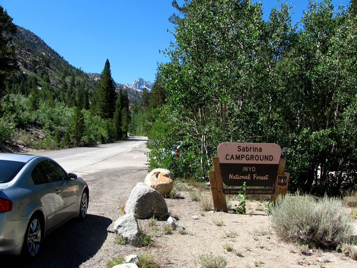
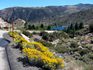
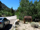
Lake Sabrina Road
(CA 168) and Sabrina
Campground entrance |
|
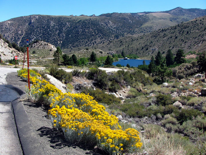
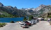
Lake Sabrina
(Lake Sabrina Roadend) |
|
|
|
|
|
|
|
 |
|
 |
|
 |
|
The Palisades from
Highway 168 (west) |
|
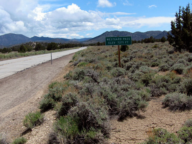
Westgard Pass and
Highway 168 (west) |
|
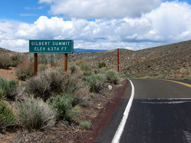
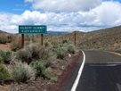
Gilbert Summit and
Highway 168 (east) |
|
|
|
|
| Highway 168 (California State Route 168) Photos on Web |
|
|
|
|