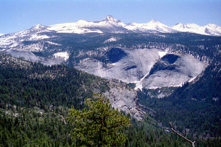
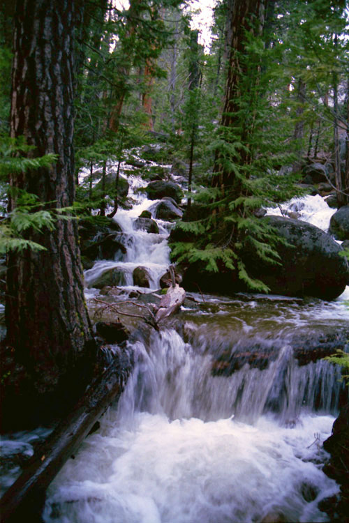
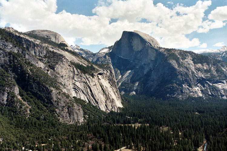
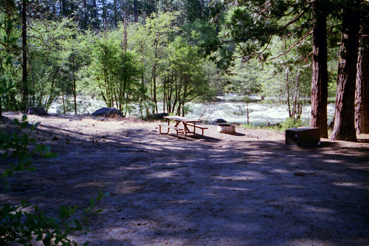
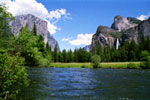
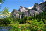
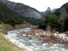
| Merced River |
 |
| Original photo collection of sceneries with and around Merced River, a river running in and through Yosemite National Park (Mariposa and Madera Counties, California, USA). |
|
    |
|
|
|
|
|
|
|
|
|
|
|
|
|
|
|
|
|
|
|
|
|
|
|
|
|
|
|
|
|
|
|
|
|
|
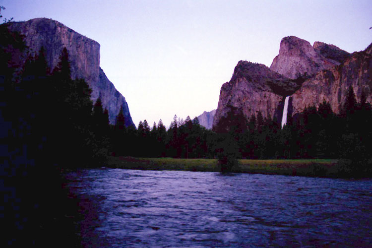
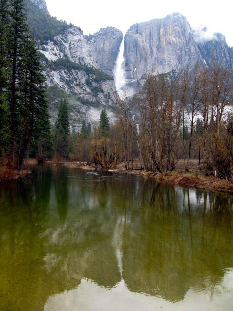
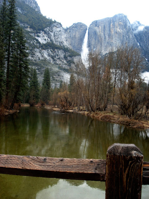
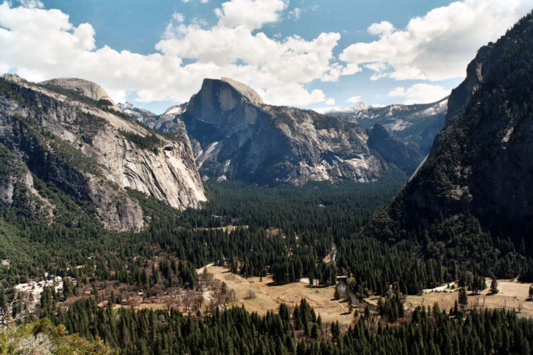
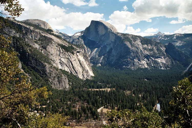
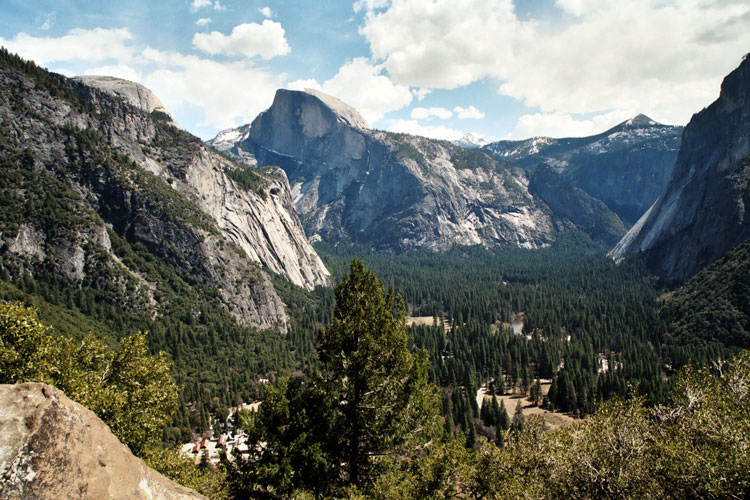
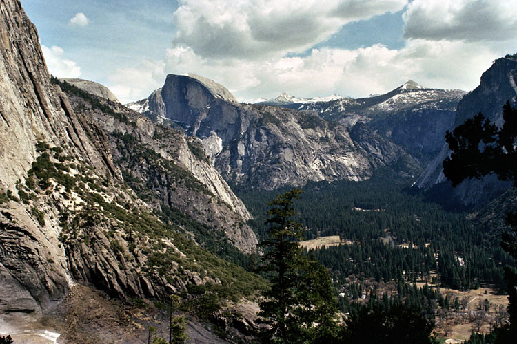
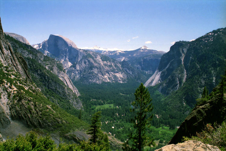
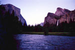
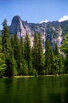
| Valley View |
|
|
|
|
 |
|
 |
|
 |
|
|
|
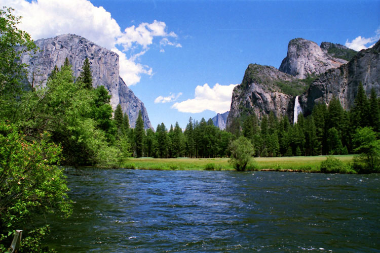
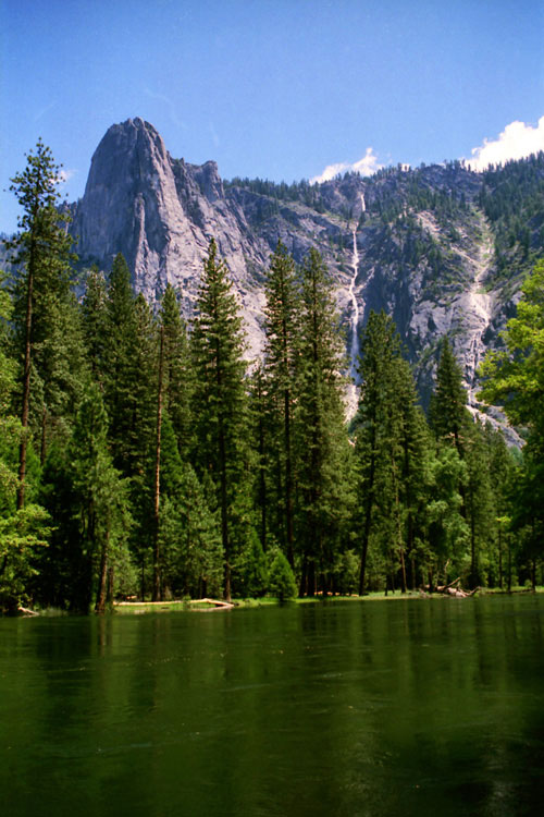
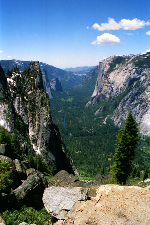
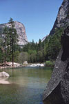
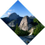
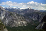
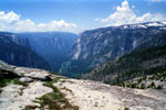
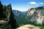
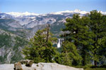
El Capitan, Cathedral Rocks, Bridalveil Fall
and Merced River from Valley View |
|
|
|
|
|
|
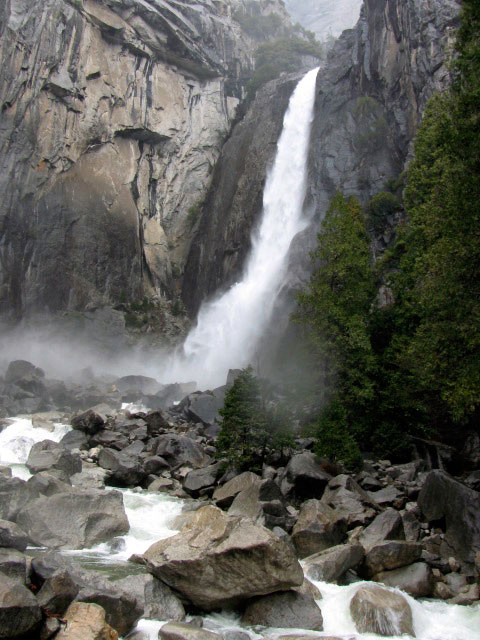
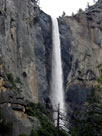
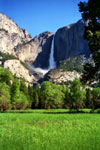
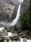
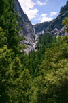
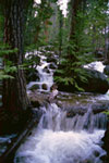
| Bridalveil Creek |
|
|
|
|
|
|
 |
|
 |
|
|
|
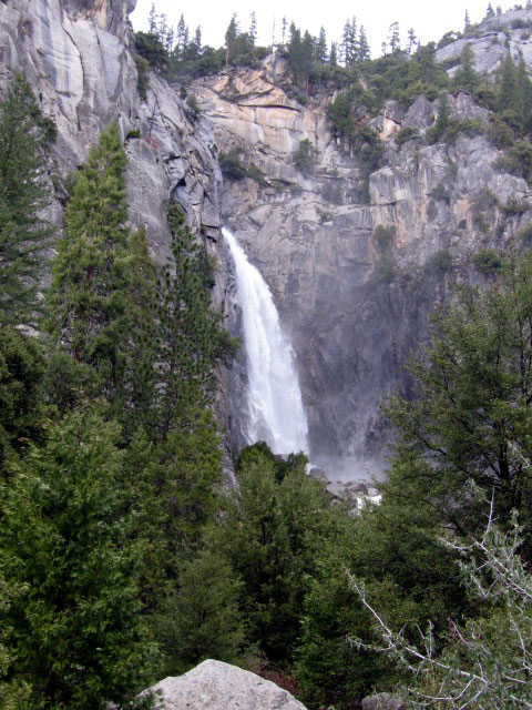
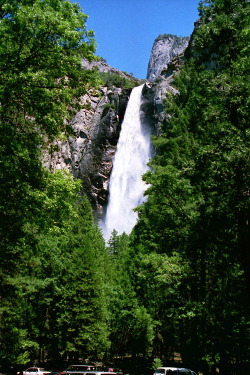
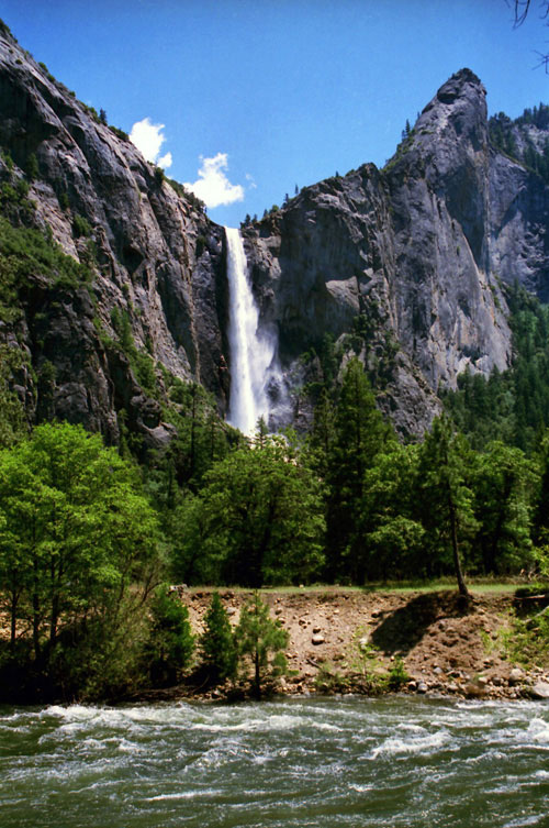
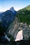
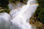
Bridalveil Fall
(Bridalveil Creek)
from Bridalveil
Falls Trailhead |
|
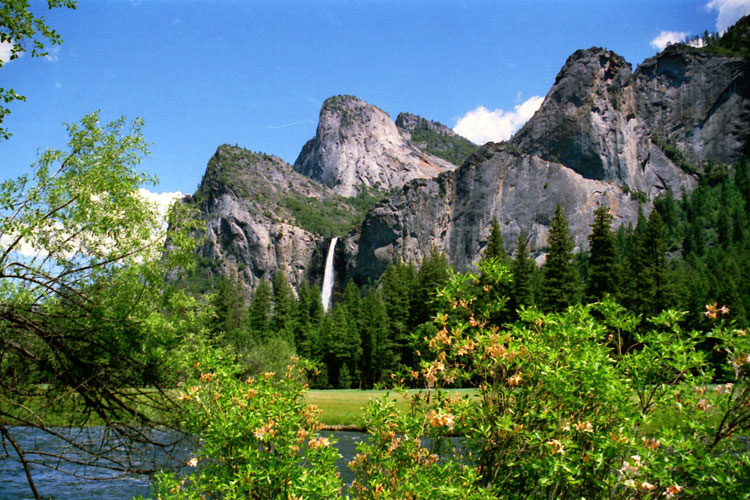
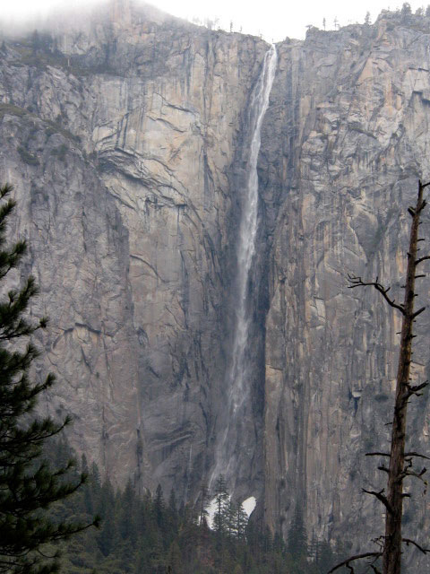
Bridalveil Fall from
Southside Drive |
|
|
|
|
|
|
|
|
|
|
|
|
|
|
|
|
|
|
|
|
|
|
|
|
|
|
|
|
|
|
|
|
|
|
|
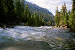
| Sentinel Creek |
|
|
|
|
|
|
 |
|
|
|
|
|
Sentinel Rock,
Sentinel Fall
(Sentinel Creek)
and Merced River |
|
|
|
|
|
|
|
|
|
|
|
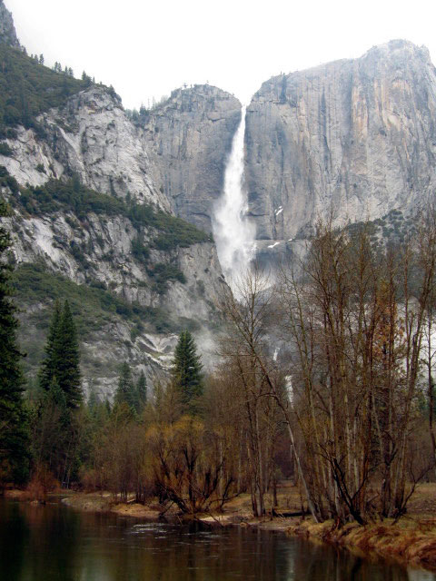
| Yosemite Creek |
|
|
|
|
|
|
 |
|
 |
|
 |
|
|
|
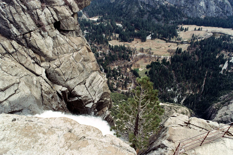
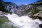
Yosemite Falls
(Yosemite Creek)
from Southside Drive |
|
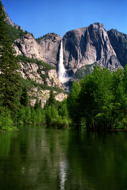
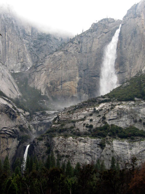
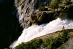
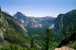
Lower Yosemite Fall
and Yosemite Creek |
|
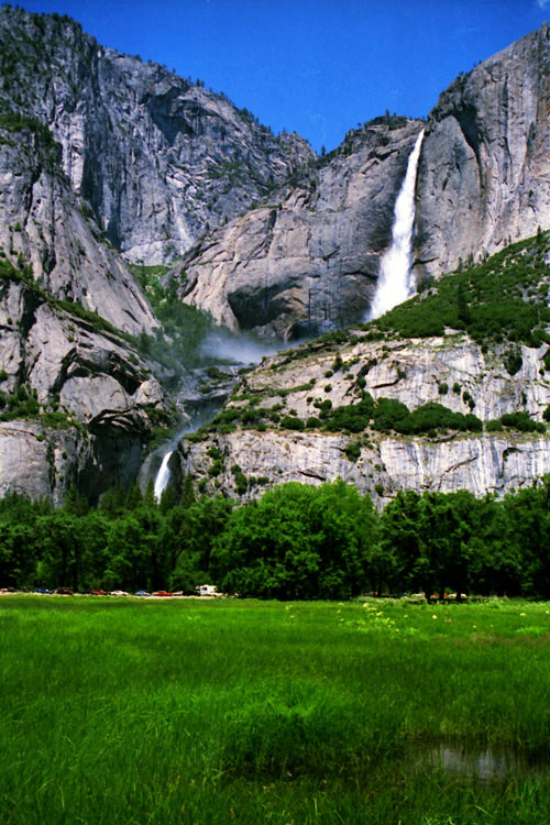
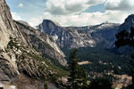
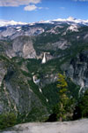
Yosemite Valley and
Upper Yosemite Falls |
|
|
|
|
|
|
|
|
|
|
|
|
|
|
|
|
|
|
|
|
|
|
|
|
|
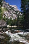
| Tenaya Creek |
|
|
|
|
|
|
 |
|
 |
|
|
|
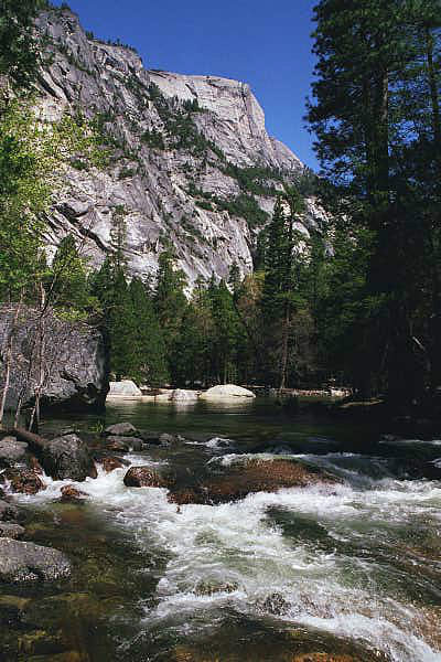
Washington Column
and Tenaya Creek |
|
Mirror Lake outlet
(Tenaya Creek) |
|
|
|
|
|
|
|
|
|
|
|
|
|
|
|
|
|
|
|
|
| Illilouette Creek |
|
|
|
|
|
|
 |
|
 |
|
 |
|
|
|
Illilouette Fall
(Illilouette Creek)
from John Muir Trail |
|
Half Dome,
Illilouette Creek and
Illilouette Fall from
Panorama Trail |
|
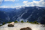
Top of Illilouette Fall |
|
|
|
|
|
|
|
|
|
|
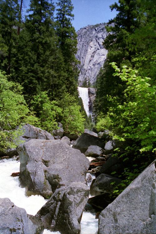
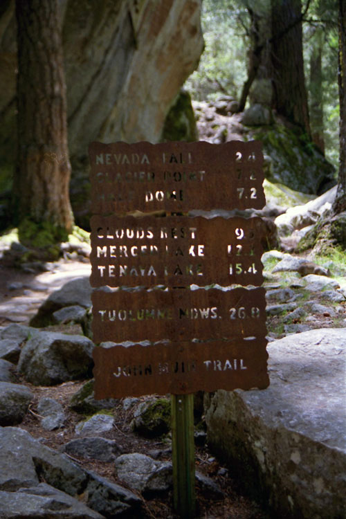
| John Muir Trail |
|
|
|
 |
|
 |
|
 |
|
 |
|
|
 |
|
 |
|
 |
|
|
|
|
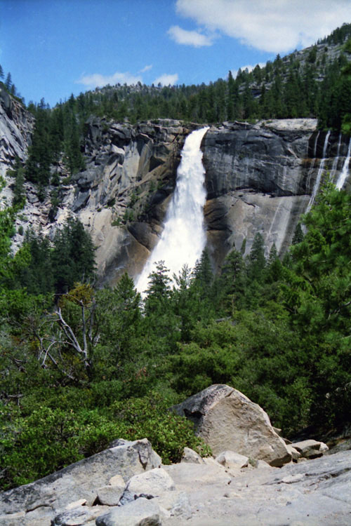
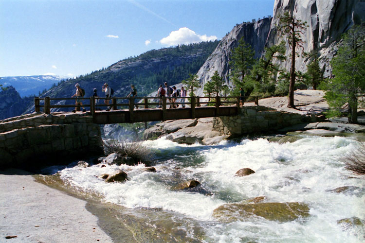
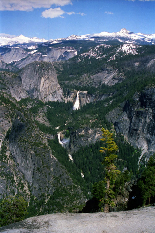
Nevada Fall from
Clark Point |
|
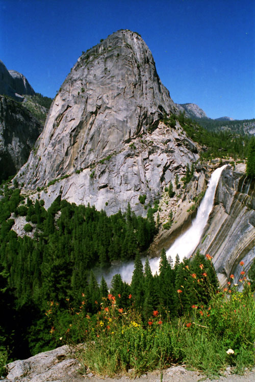
Liberty Cap and
Nevada Fall from
John Muir Trail |
|
|
|
|
|
|
|
|
|
|
|
|
|
|
|
|
|
|
|
|
|
|
|
|
|
|
|
|
 |
|
 |
|
 |
|
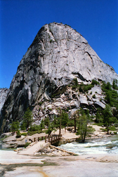
Liberty Cap and Nevada Fall
from Clark Point
(John Muir Trail) |
|
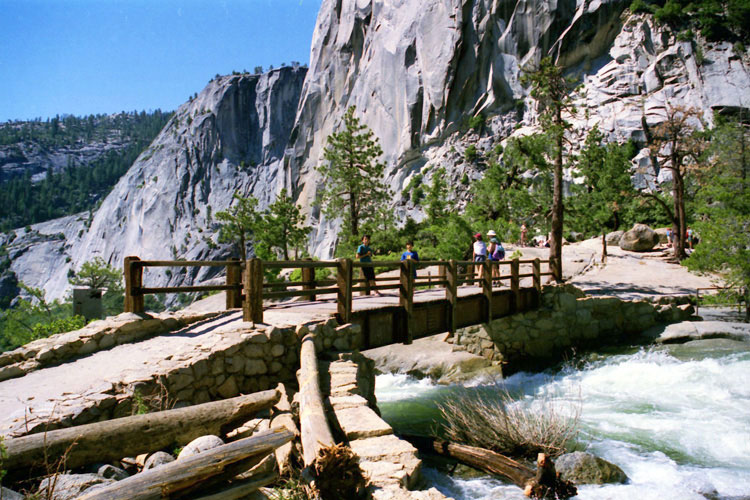
Liberty Cap and
Nevada Fall from
John Muir Trail |
|
Half Dome, Mount Broderick,
Liberty Cap and Nevada Fall
from Panorama Trail |
|
|
|
|
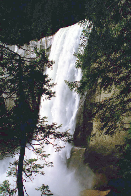
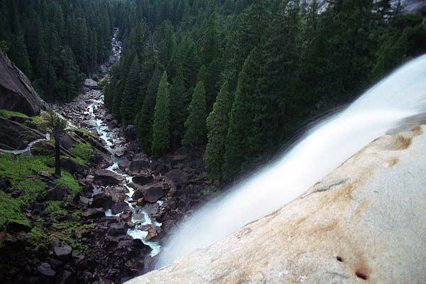
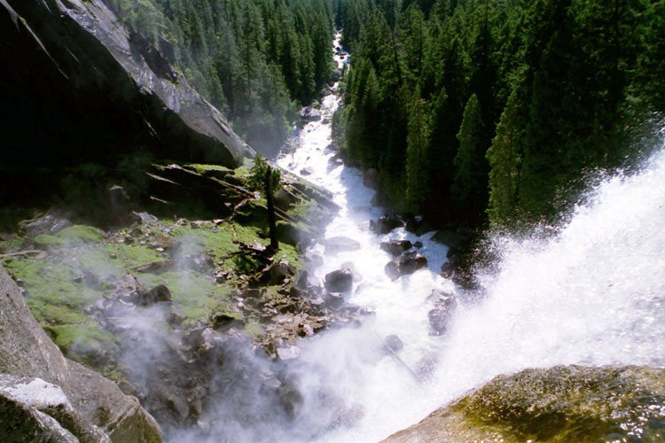
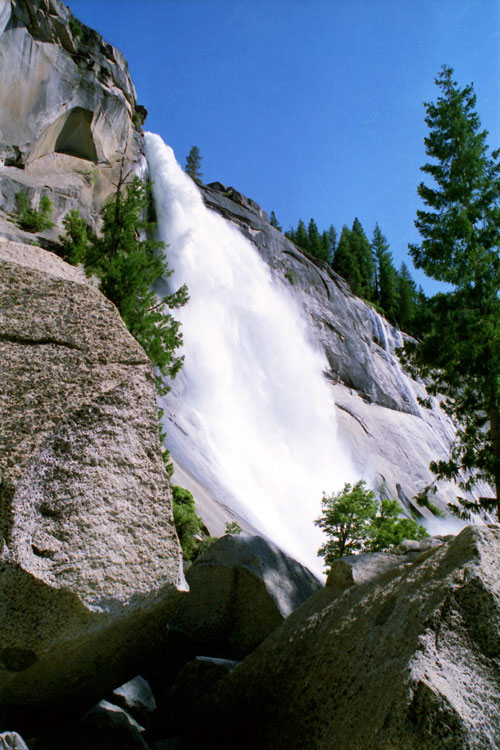
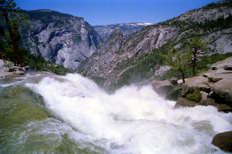
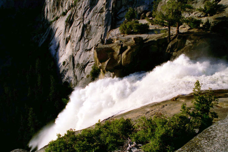
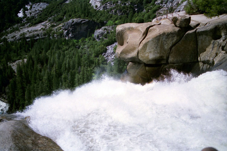
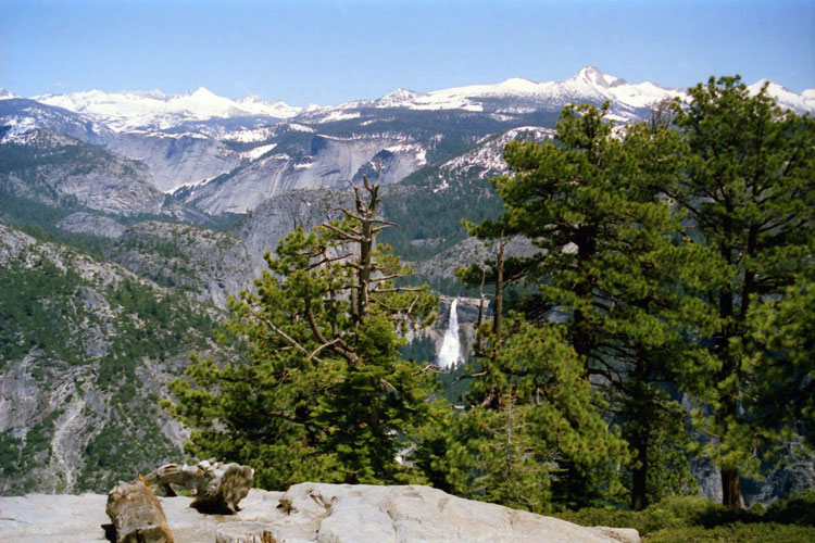
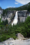
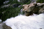
| Top of Nevada Fall |
|
 |
|
 |
|
 |
|
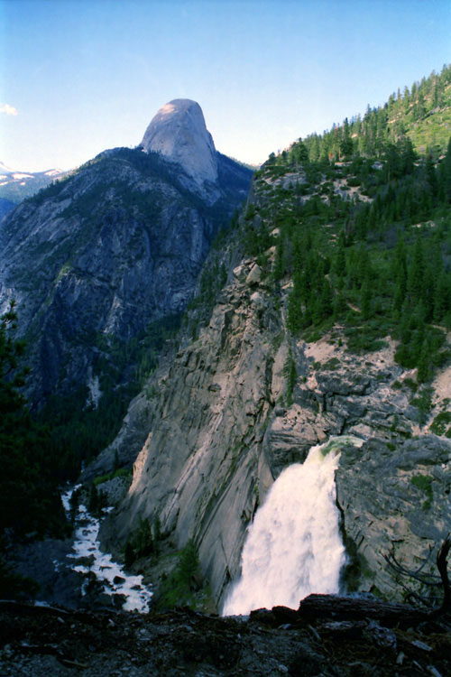
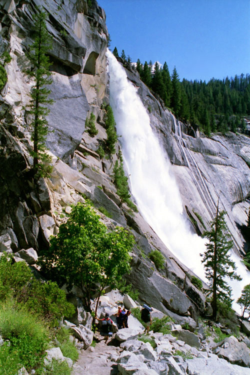
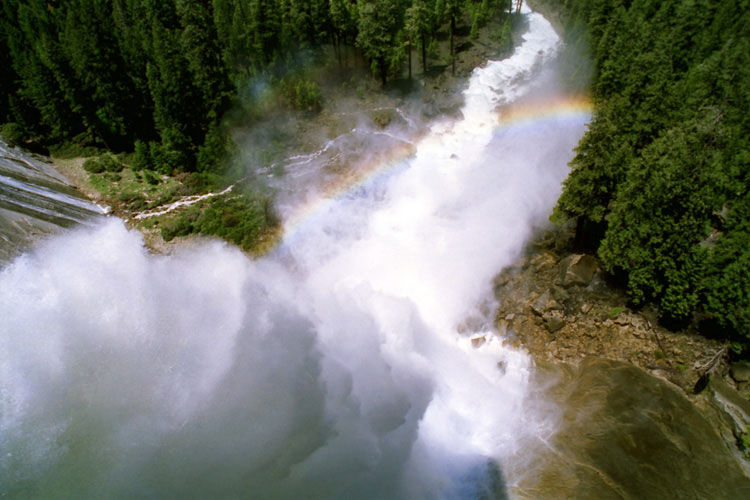
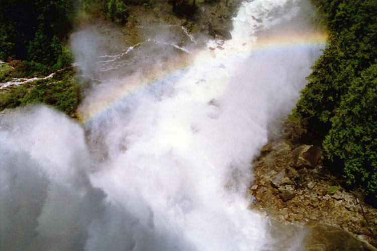
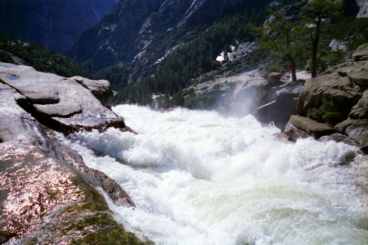
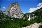
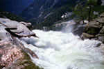
| Nevada Fall and Merced River |
|
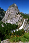
Grizzly Peak
and Nevada Fall |
|
|
 |
|
 |
|
 |
|
| Nevada Fall (Merced River) and Nevada Falls Overlook |
|
|
|
|
|
|
|
 |
|
 |
|
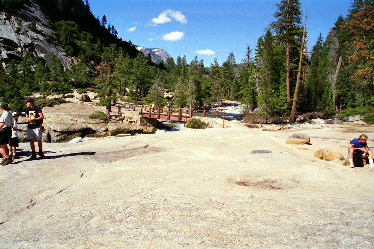
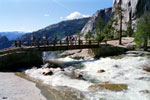
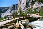
| Nevada Fall Bridge and Merced River |
|
|
|
|
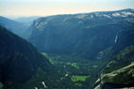
| Little Yosemite Valley |
|
|
|
|
|
|
|
|
 |
|
 |
|
|
|
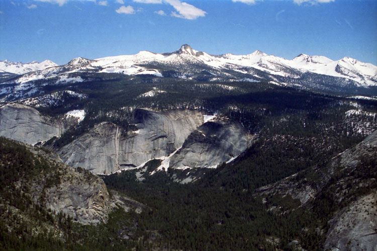
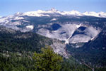
Mount Clark, Cascade Cliffs
and Little Yosemite Valley
from Half Dome summit |
|
Mount Clark, Cascade Cliffs
and Little Yosemite Valley
from Half Dome Trail |
|
|
|
|
|
| Sunrise Creek |
|
|
|
|
|
|
 |
|
|
|
|
|
Sunrise Creek from
John Muir Trail
(Little Yosemite
Valley) |
|
|
|
|
|
|
|
|
|
|
|
|
|
|
|
|
| Half Dome Summit |
|
 |
|
 |
|
El Capitan and Merced River
from Half Dome summit |
|
El Capitan, Yosemite Falls, Merced River
and North Dome from Half Dome summit |
|
|
|
|
|
|
|
|
|
|
|
|
 |
|
 |
|
 |
|
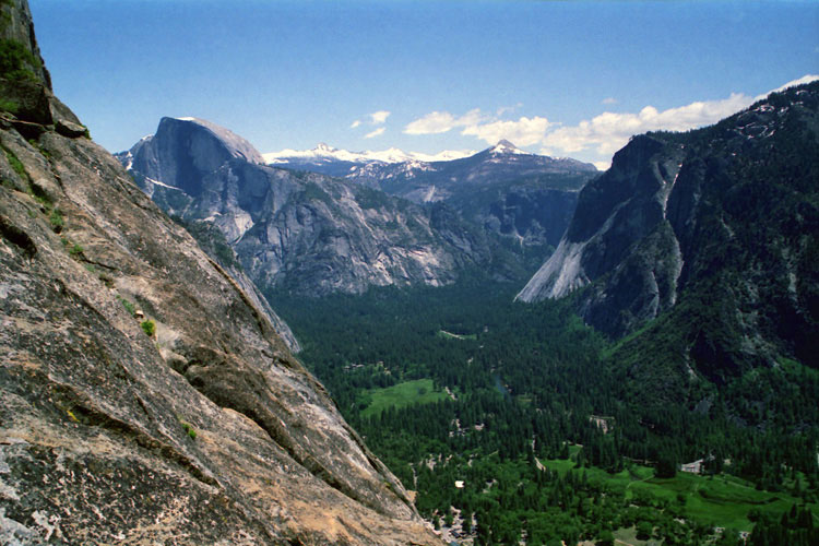
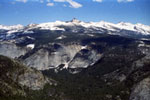
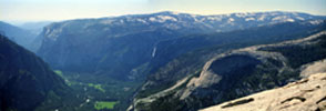
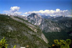
North Dome, Half Dome, Mt. Clark, Mt. Starr King,
Glacier Point and Merced River (Yosemite Valley) from Yosemite Falls Trail |
|
|
|
|
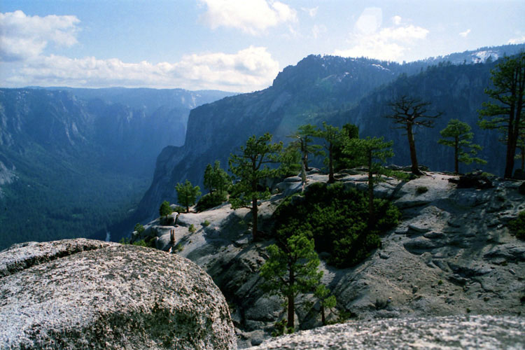
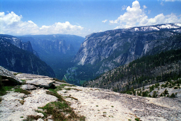
| Yosemite Point |
|
 |
|
 |
|
 |
|
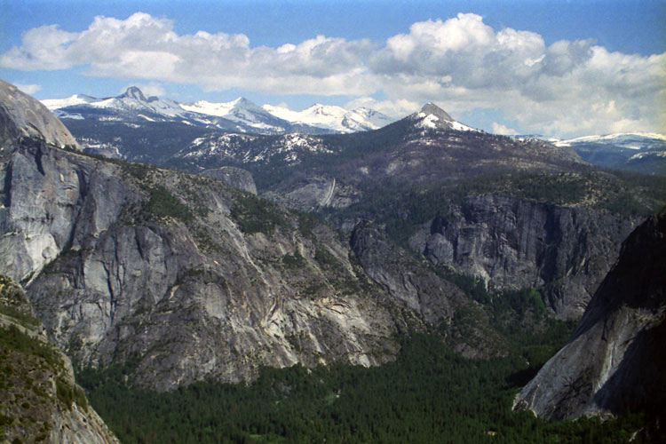
Mt. Clark, Mt. Starr King
and Yosemite Valley (Merced
River) from Yosemite Point |
|
North Dome, Half Dome
and Yosemite Valley
(Merced River) |
|
Merced River, Glacier
Point
and Sentinel Dome
from above Yosemite Point |
|
|
|
|
| North Dome Summit |
|
 |
|
 |
|
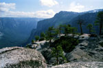
Merced River, Glacier Point
and Sentinel Dome
from North Dome summit |
|
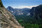
Merced River (Yosemite
Valley) and El Capitan |
|
|
|
|
| Four Mile Trail |
|
 |
|
 |
|
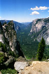
Sentinel Rock, Cathedral Rocks, El Capitan
and Merced River from Four Mile Trail |
|
|
|
|
| Glacier Point |
|
 |
|
 |
|
Nevada Fall and
Vernal Fall from
Glacier Point |
|
Mount Clark and Nevada Fall |
|
|
|
|
|
|
|
|
|
|
|
|
 |
|
 |
|
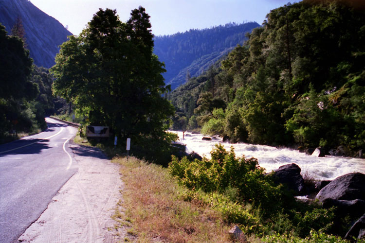
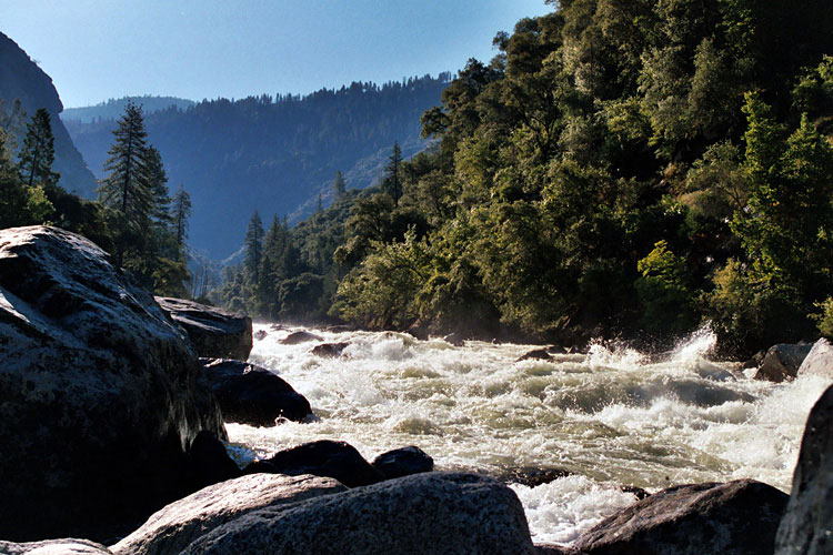
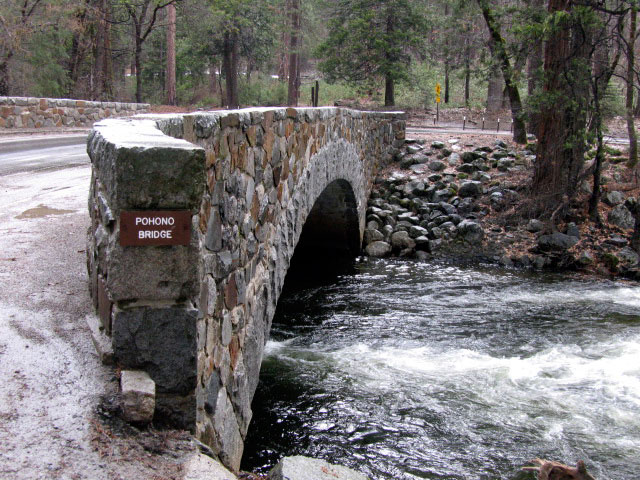
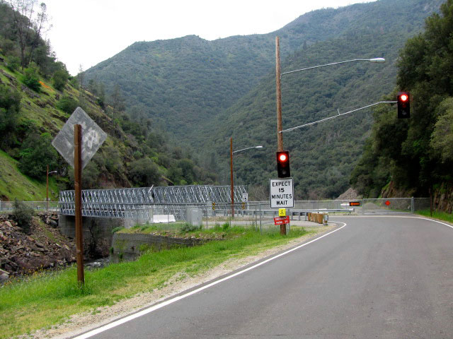
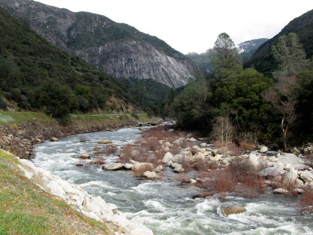
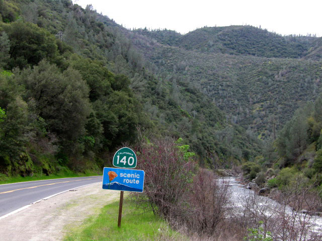
| Highway 140 and Merced River |
|
|
 |
|
 |
|
| Merced Wild and Scenic River |
|
|
|
|
| Merced River Photos on Web |
|
|
|
|