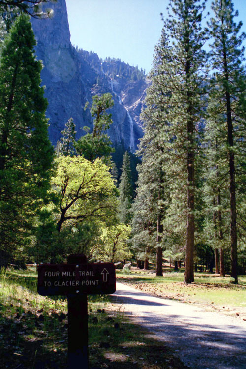
| Four Mile Trail |
 |
| Original photo collection of sceneries along Four Mile Trail (Four-Mile Trail, 4 Mile Trail, 4-Mile Trail), a hiking trail running in Yosemite National Park (Mariposa County, California, USA). |
|
           |
|
|
|
|
|
|
|
|
|
|
|
|
|
|
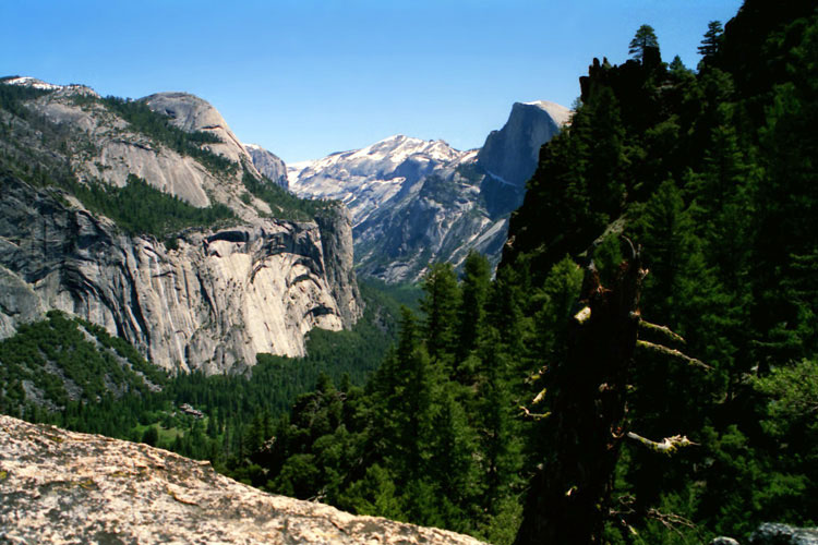
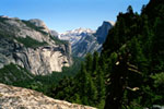
| North Dome & Half Dome from Trail |
|
 |
|
 |
|
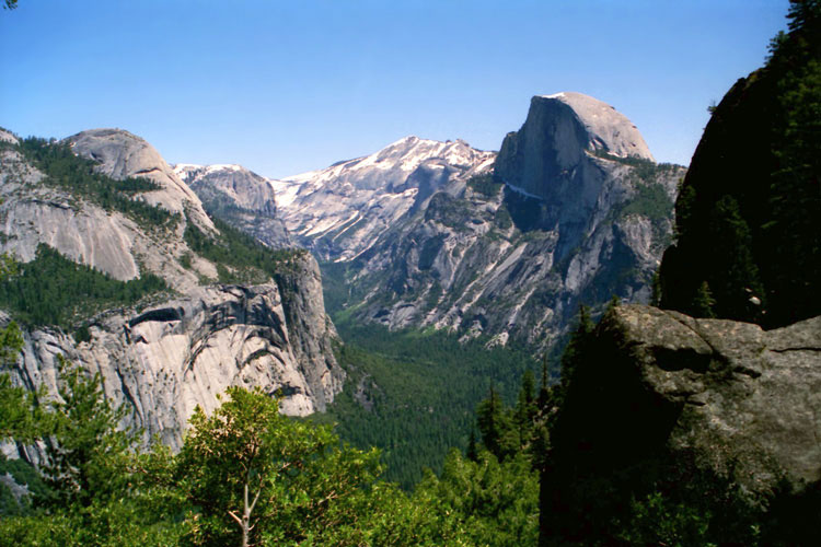
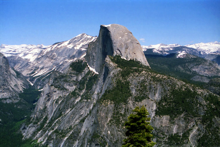
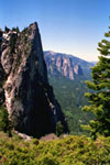
North Dome, Mount Watkins, Clouds Rest and Half Dome
from Four Mile Trail |
|
|
|
|
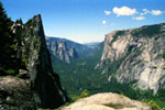
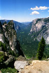
| Sentinel Rock & El Capitan from Trail |
|
 |
|
 |
|
 |
|
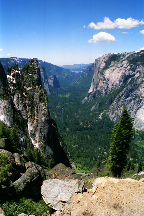
Sentinel Rock, Cathedral Rocks, El Capitan and Yosemite Valley
from Four Mile Trail |
|
|
|
|
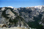
| Almost Glacier Point |
|
 |
|
 |
|
 |
|
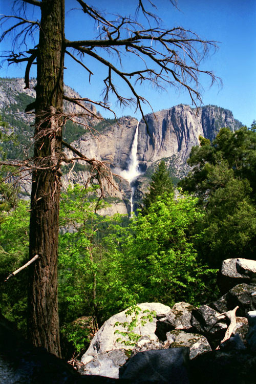
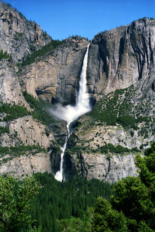
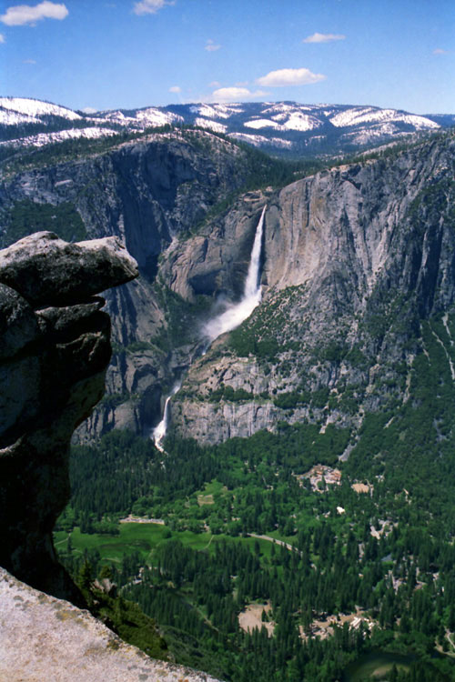
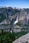
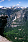
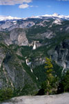
Yosemite Falls from
Four Mile Trail |
|
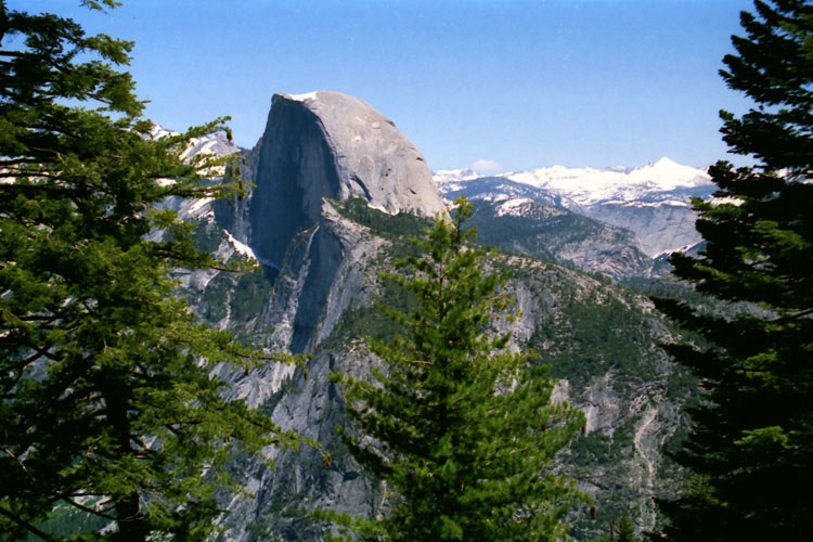
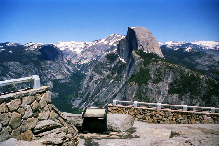
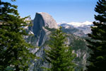
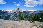
Half Dome |
|
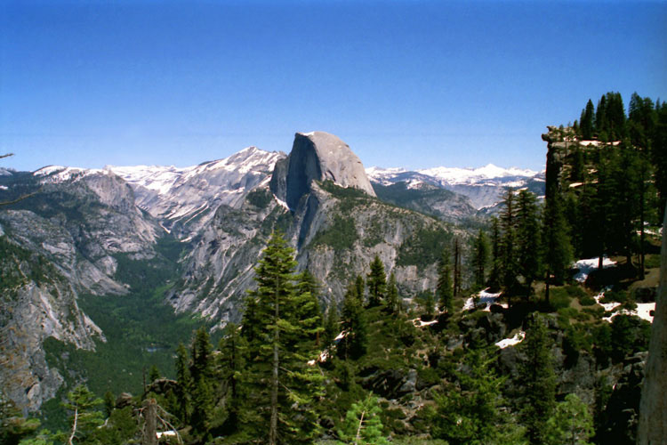
Tenaya Canyon, Half Dome
and Glacier Point |
|
|
|
|
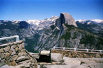
| Glacier Point |
|
 |
|
 |
|
 |
|
|
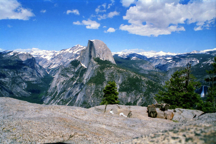
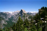
Mount Hoffmann, North Dome, Basket Dome, Mount Watkins,
Tenaya Canyon, Clouds Rest and Half Dome from Glacier Point |
|
|
 |
|
 |
|
 |
|
Yosemite Falls and
Yosemite Valley |
|
Tenaya Canyon
and Half Dome |
|
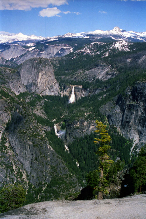
Mt. Clark, Libery Cap,
Nevada Fall
and Vernal Fall |
|
|
|
|
| Four Mile Trail (4 Mile Trail) Photos on Web |
|
|
|
|