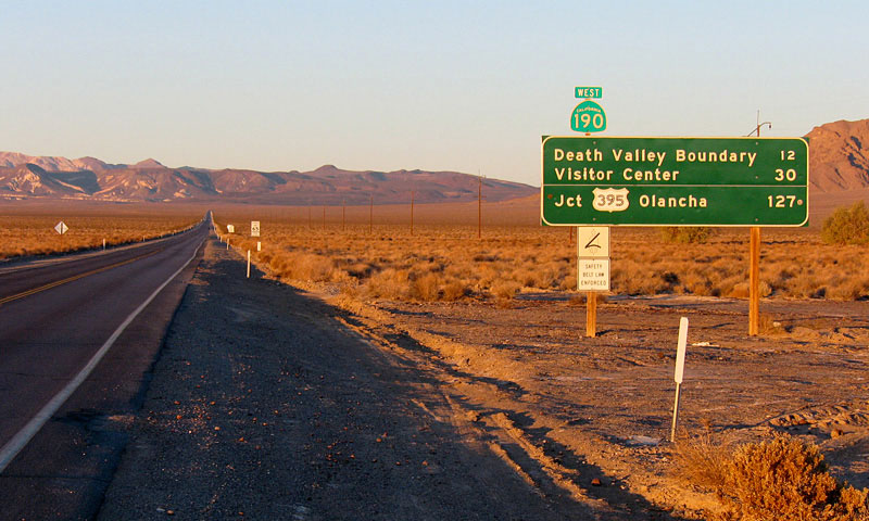
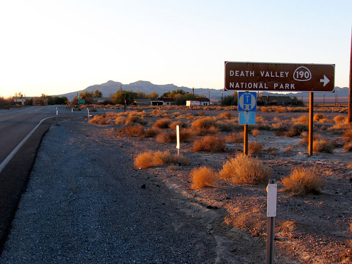
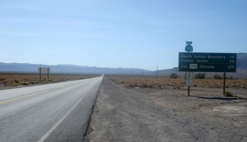
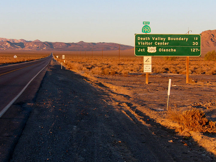
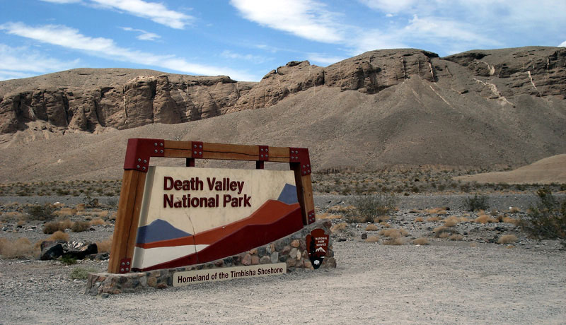
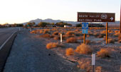
| Highway 190 |
 |
| (California State Route 190) |
|
|
|
|
|
|
|
|
|
|
|
|
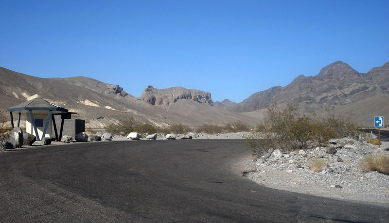
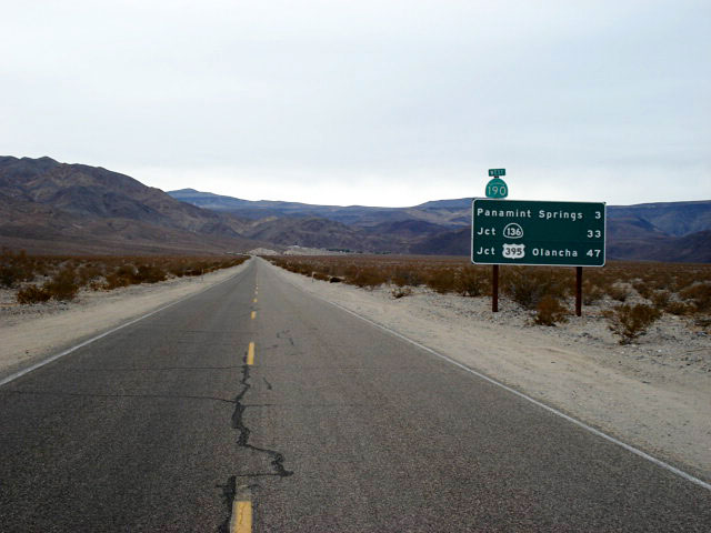
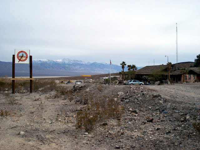
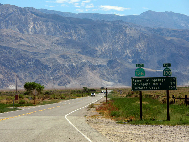
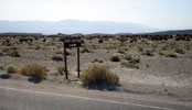
| Highway 127 (California State Route 127) |
|
 |
 |
|
|
 |
|
 |
|
|
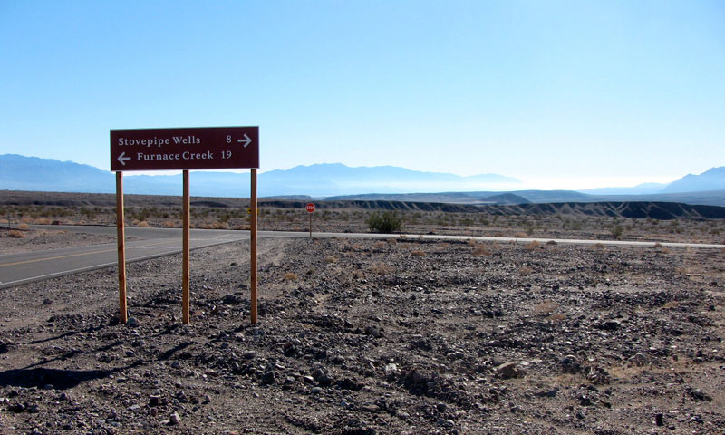
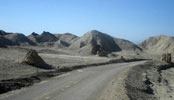
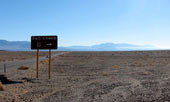
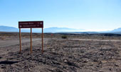
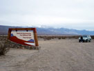
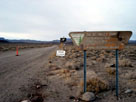
| CA 127 near CA 190 junction (Death Valley Junction) |
|
|
|
|
|
|
|
|
|
|
|
|
|
 |
|
|
|
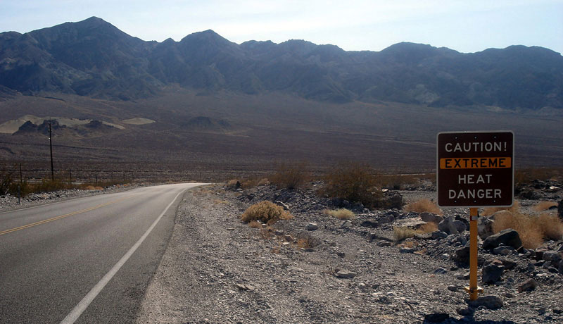
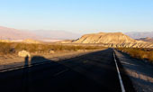
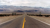
Highway 190 (west)
down to Furnace Creek Wash |
|
|
|
|
|
|
|
|
 |
|
|
|
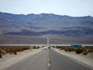
Black Mountains and Highway
190 (west) near Furnace Creek
Wash Road junction |
|
|
|
|
|
|
|
|
 |
|
 |
|
|
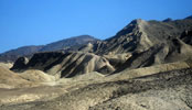
Twenty Mule Team Road (20 Mule Team Road)
in Twenty Mule Team Canyon |
|
|
|
|
|
| Zabriskie Point |
|
|
 |
|
|
 |
|
 |
|
Zabriskie Point from Zabriskie
Point Trailhead off Highway 190 |
|
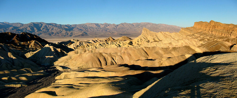
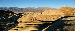
Panamint Range, Death Valley and Golden
Canyon from Zabriskie Point |
|
|
|
|
|
|
|
|
|
|
|
|
|
|
|
|
|
|
|
|
|
|
|
|
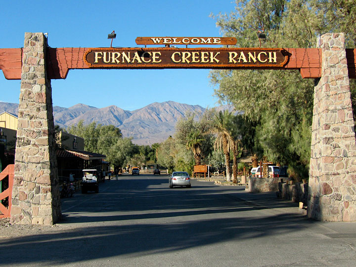
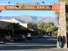
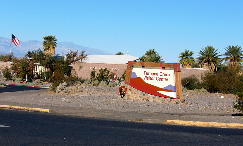
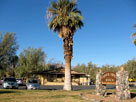
| Furnace Creek Ranch |
|
 |
|
|
|
 |
|
 |
|
 |
|
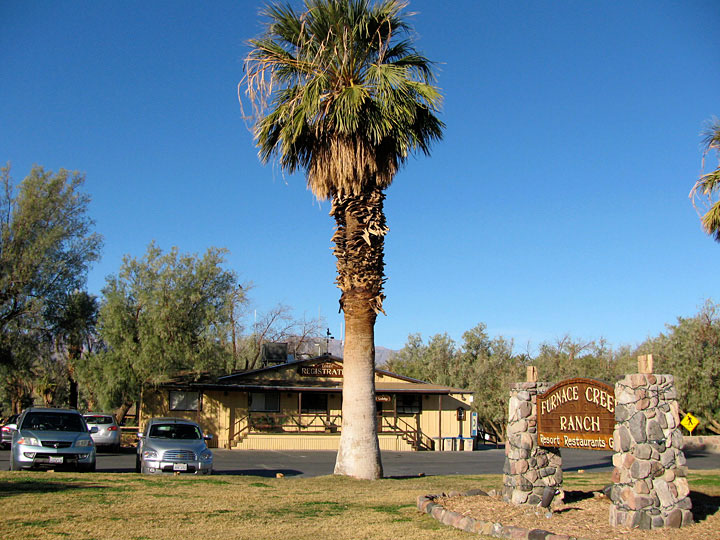
Furnace Creek Ranch
from CA 190 |
|
Panamint Range and Furnace Creek Ranch off CA 190 |
|
|
|
|
|
|
|
|
|
|
|
|
|
|
|
|
|
|
|
|
|
|
|
|
|
|
|
 |
|
 |
|
 |
|
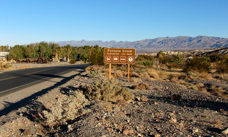
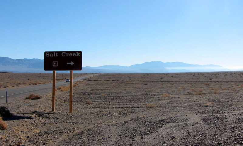
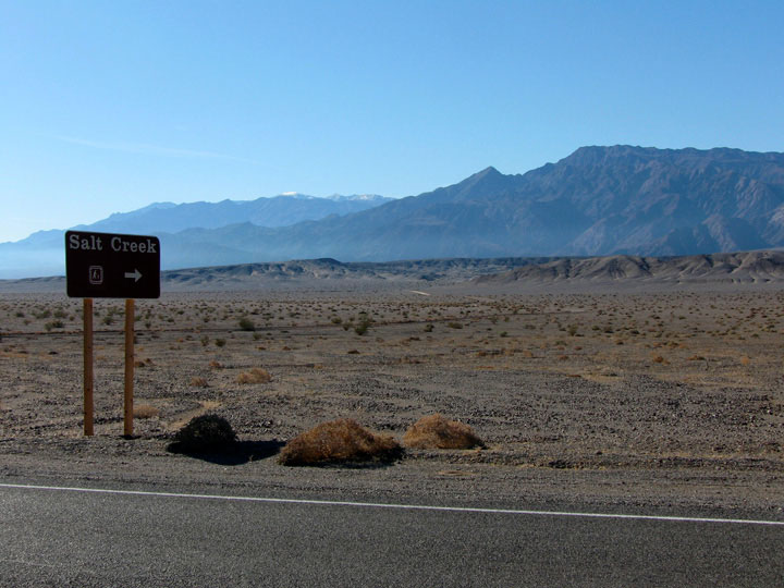
Highway 190 near
Salt Creek Road junction |
|
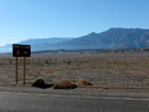
Salt Creek Road (Salt
Creek Trailhead entrance)
from Highway 190 |
|
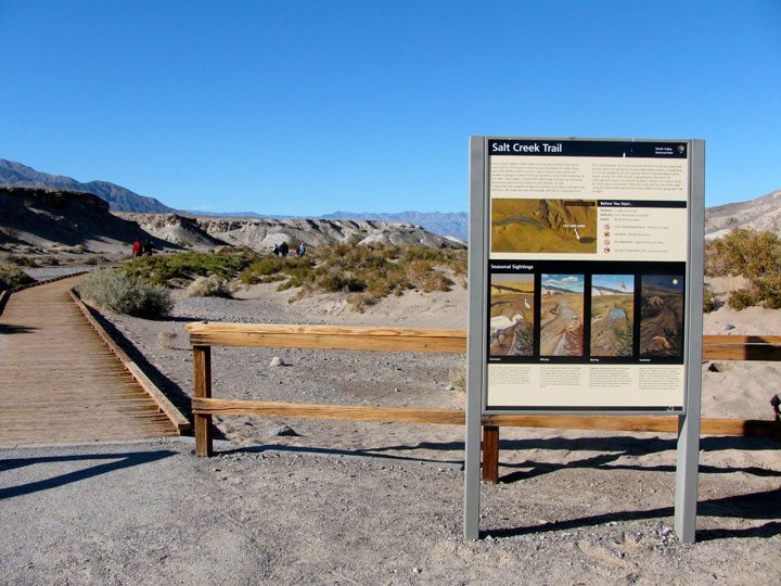
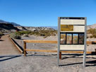
Salt Creek Trailhead |
|
|
|
|
|
|
|
 |
|
 |
|
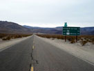
Highway 190 (west) near
Scottys Castle Road junction |
|
Highway 190 and
Scottys Castle Road |
|
|
|
|
|
|
|
 |
|
 |
|
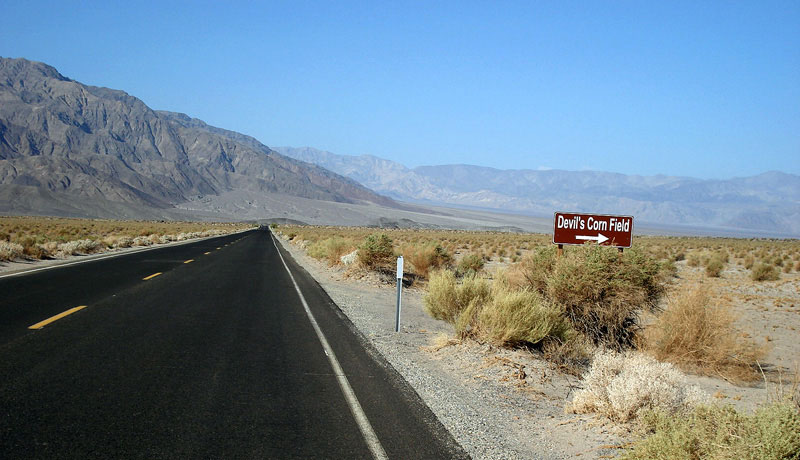
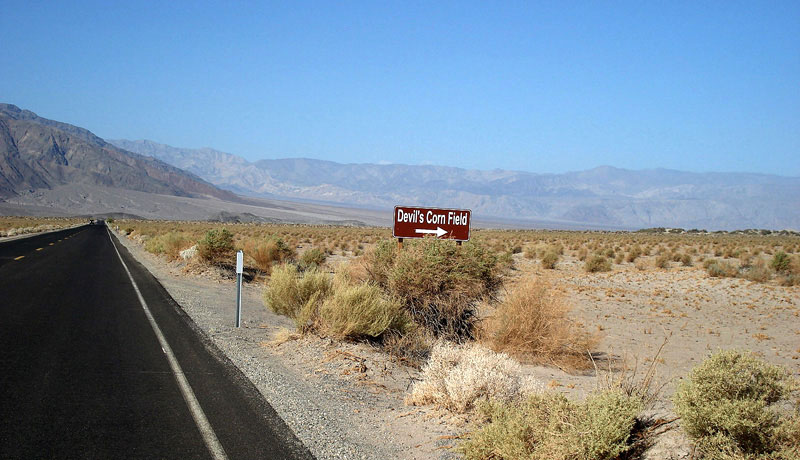
Devil's Corn Field
and Highway 190 |
|
|
|
 |
|
|
|
Highway 190 (west)
above Devil's Corn Field |
|
|
|
|
|
|
|
|
 |
|
 |
|
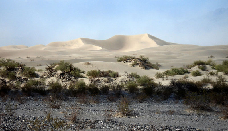
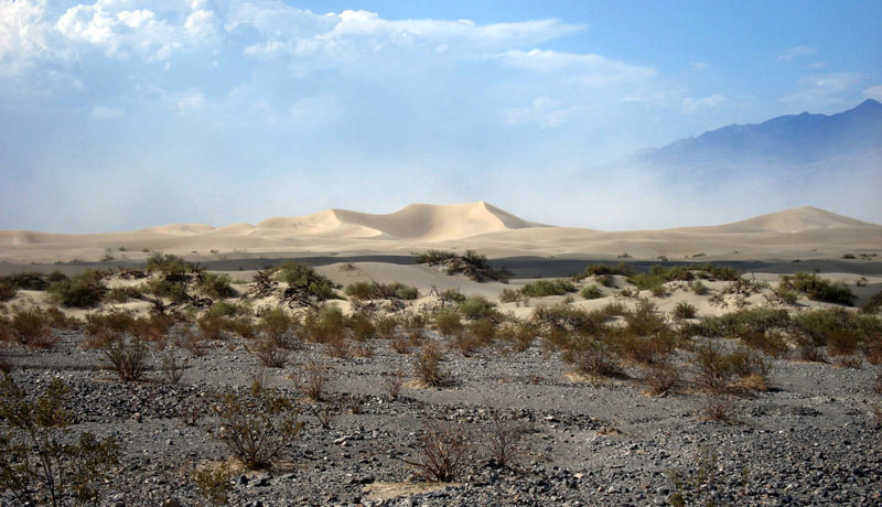
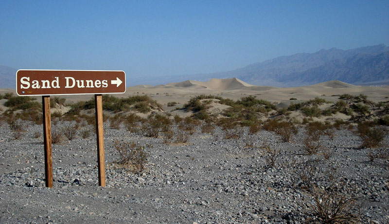
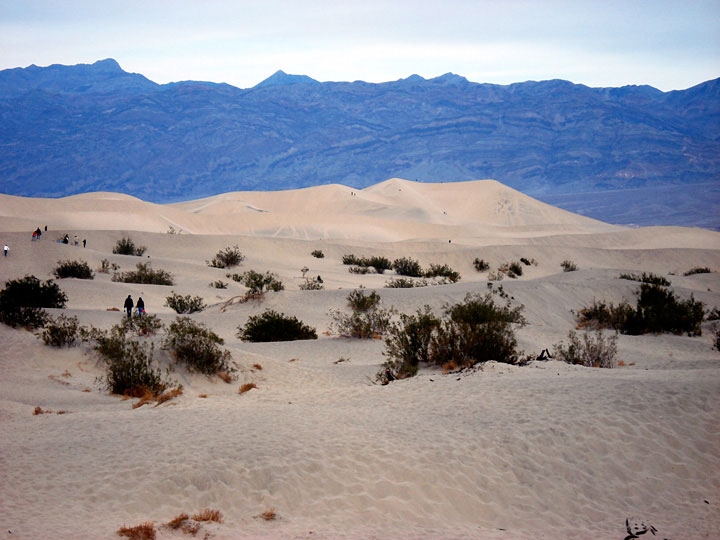
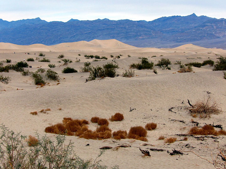
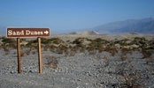
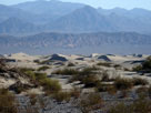
| Mesquite Flat Sand Dunes from Highway 190 |
|
|
|
|
|
|
|
|
|
|
|
|
 |
|
 |
|
 |
|
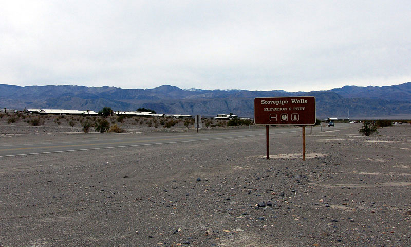
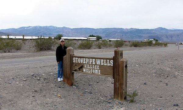
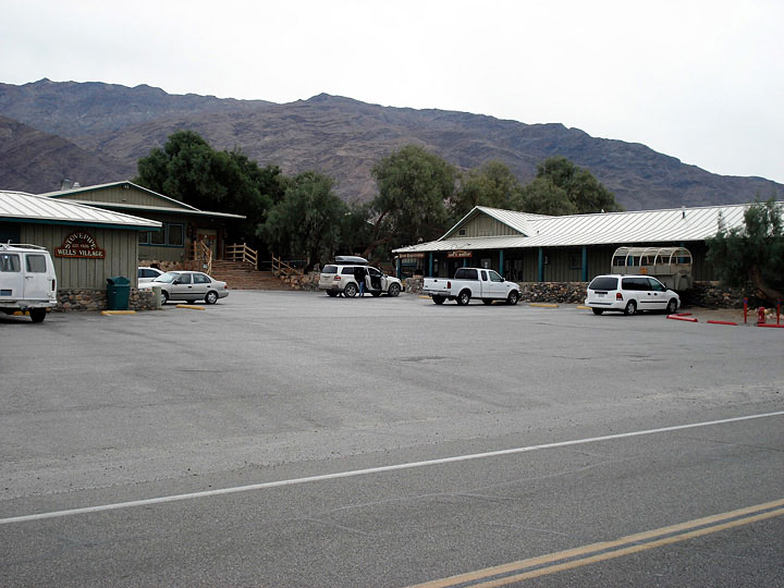
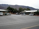
| Stovepipe Wells Village and CA 190 |
|
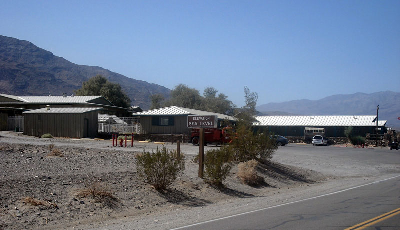
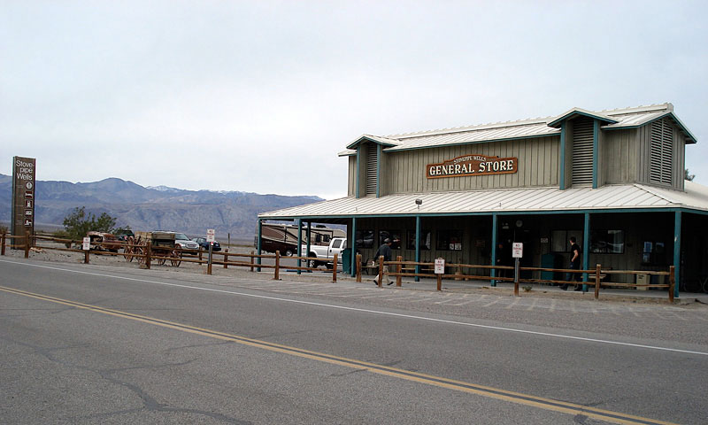
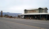
Stovepipe Wells General Store
from CA 190 |
|
|
|
|
|
|
|
|
|
|
|
|
 |
|
 |
|
 |
|
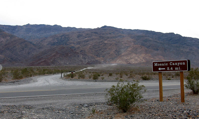
Mosaic Canyon Road
and Highway 190 |
|
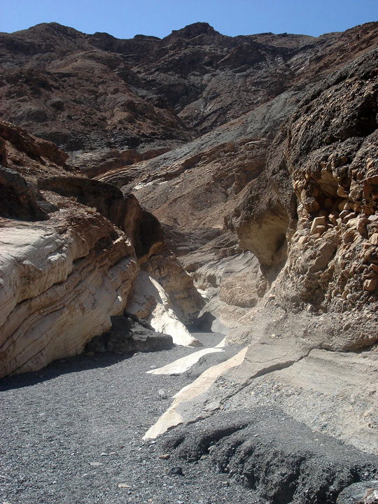
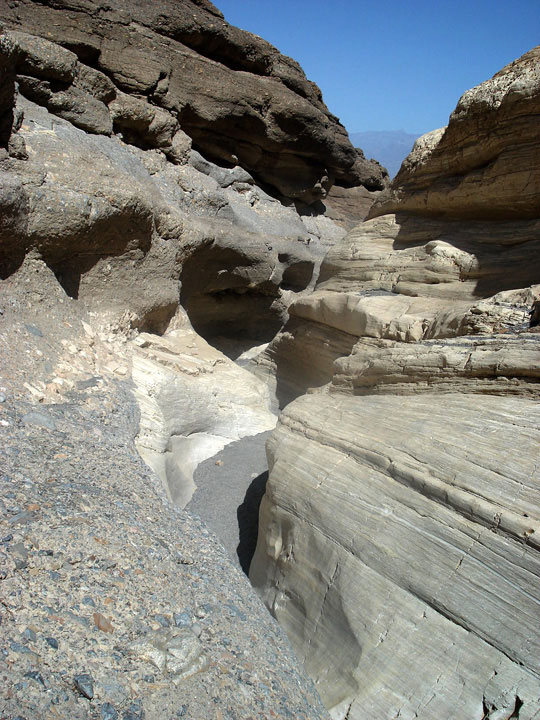
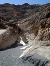
Mosaic Canyon |
|
|
|
|
|
|
|
 |
|
 |
|
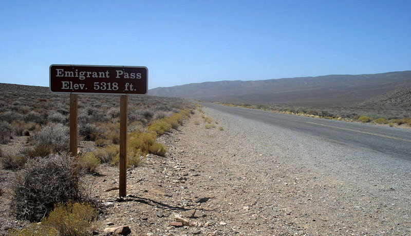
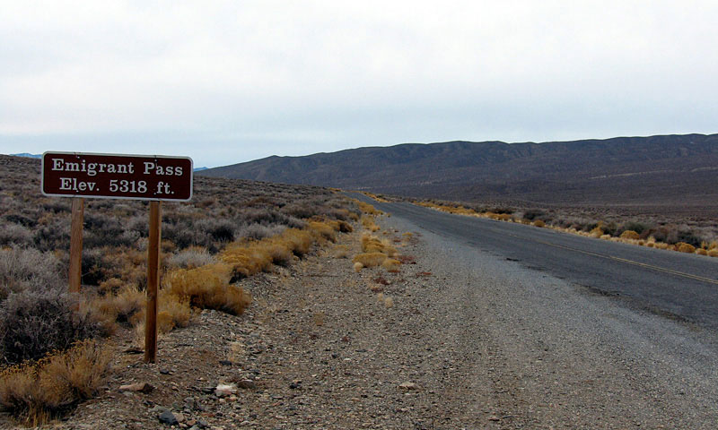
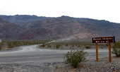
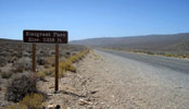
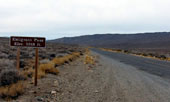
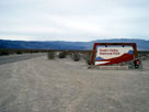
| Emigrant Pass and Emigrant Canyon Road (Wildrose Road) |
|
|
|
|
|
|
|
|
|
|
|
|
 |
|
 |
|
 |
|
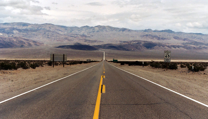
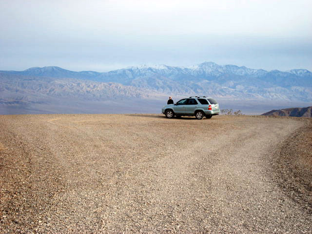
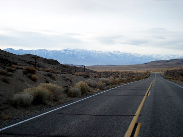
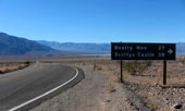
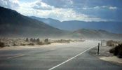
Panamint Range and Highway 190 (east)
near Panamint Valley Road junction |
|
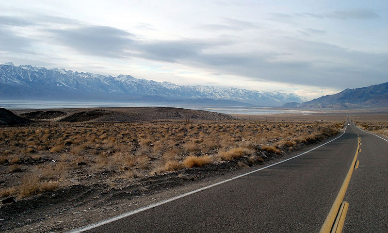
Highway 190 (west)
near Panamint Valley
Road junction |
|
|
|
|
|
|
|
 |
|
 |
|
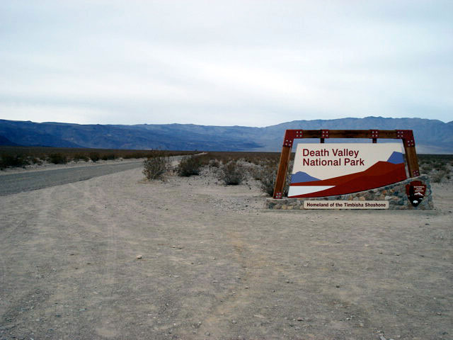
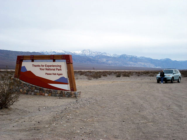
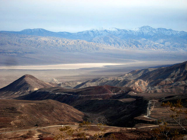
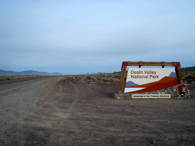
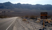
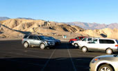
Death Valley National Park boundary
from Panamint Valley Road |
|
|
|
|
|
|
|
|
|
|
|
|
|
|
|
|
|
|
|
|
|
|
 |
|
|
|
Saline Valley Road
off Highway 190 |
|
|
|
|
|
|
|
|
|
|
|
|
|
|
|
|
|
|
|
|
|
|
|
 |
|
 |
|
|
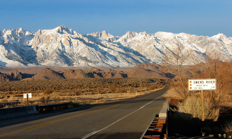
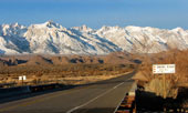
Sierra Nevada Mountains
and Highway 136 (west)
crossing Owens River |
|
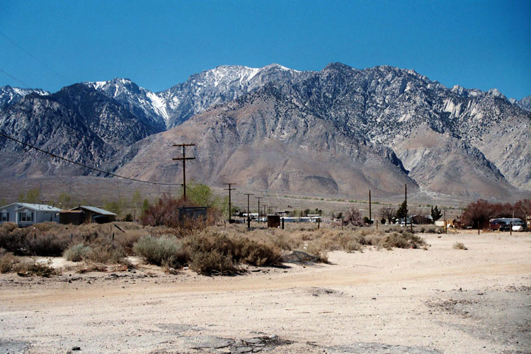
Inyo Mountains and
CA 136 (east) near
U.S. 395 junction |
|
|
|
|
|
|
|
|
|
|
| Highway 190 (California State Route 190) Photos on Web |
|
|
|
|