| Viewpoints of Yosemite |
 |
| Original photo collections of sceneries with, from and around Viewpoints (Trail summits and turnouts with "View") located in Yosemite National Park (Tuolumne, Mariposa and Madera Counties, California, USA). |
|
|
|
|
|
|
|
|
|
| Clark Point |
|
 |
|
 |
|
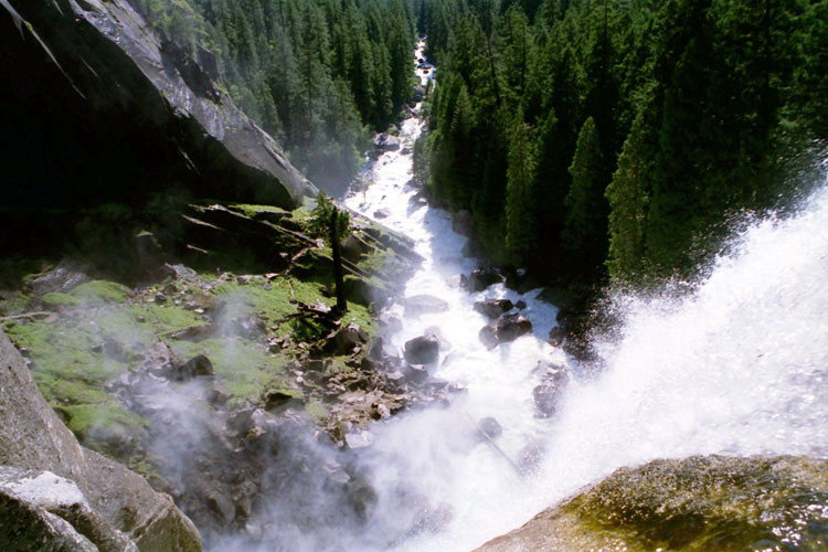
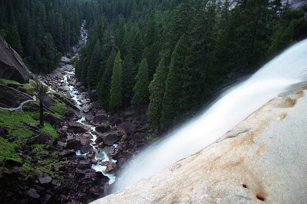
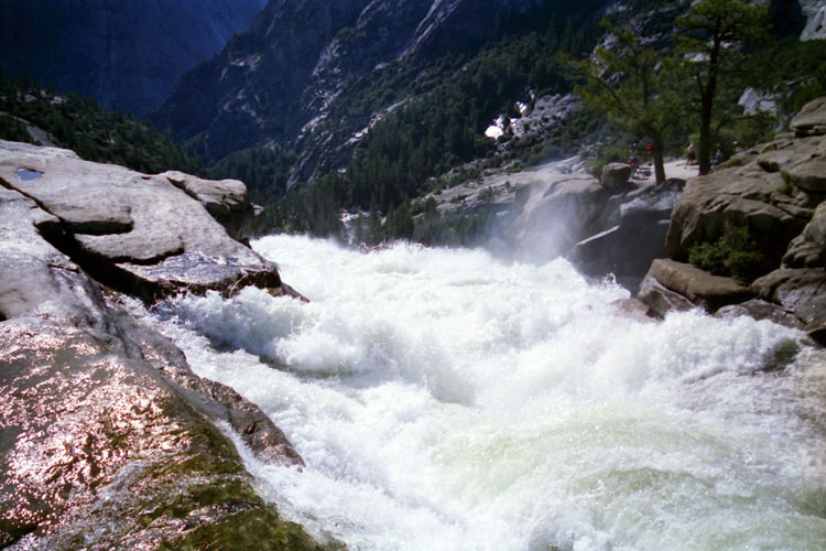
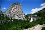
Liberty Cap and Nevada Fall
from Clark Point
along John Muir Trail |
|
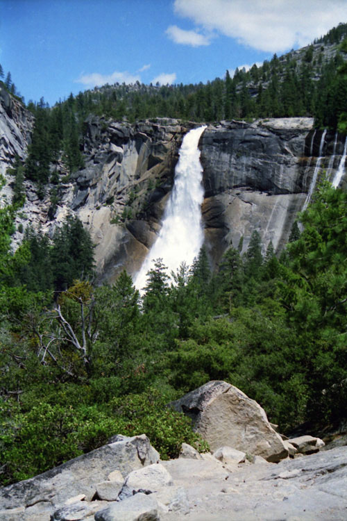
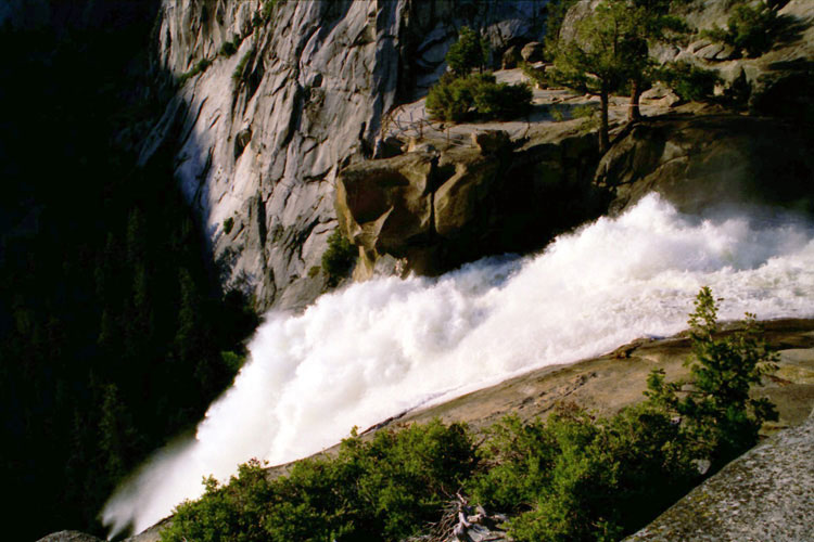
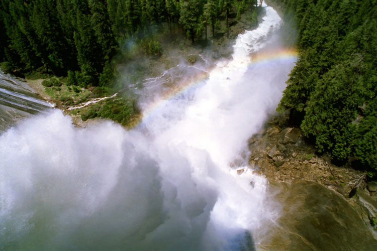
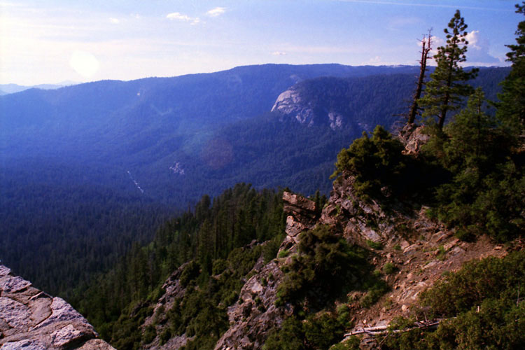
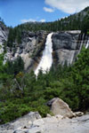
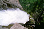
Nevada Fall
from Clark Point |
|
|
|
|
| Viewpoint along Panorama Trail |
|
 |
|
 |
|
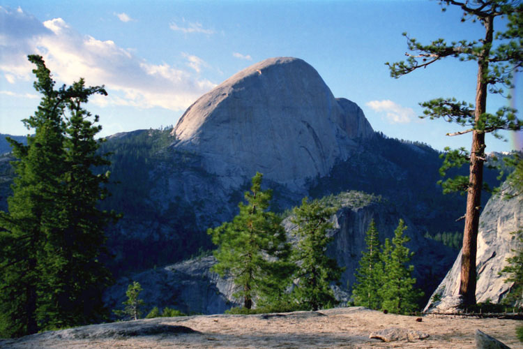
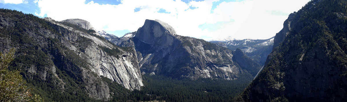
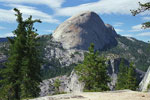
| Half Dome from viewpoint along Panorama Trail |
|
|
|
|
|
|
|
|
|
|
|
|
|
|
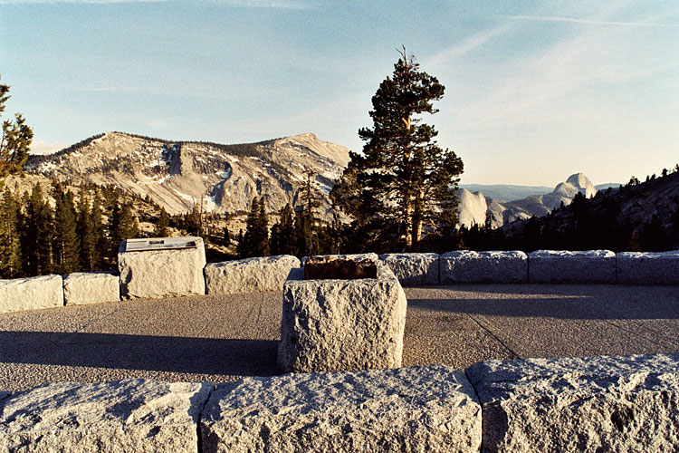
| Columbia Point |
|
 |
|
 |
|
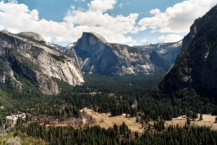
North Dome, Half Dome, Mount Clark and Yosemite Valley
from Columbia Point |
|
|
|
|
| Yosemite Falls Overlook |
|
 |
|
 |
|
 |
|
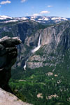
Yosemite Valley,
Upper Yosemite Fall and
Yosemite Falls Overlook |
|
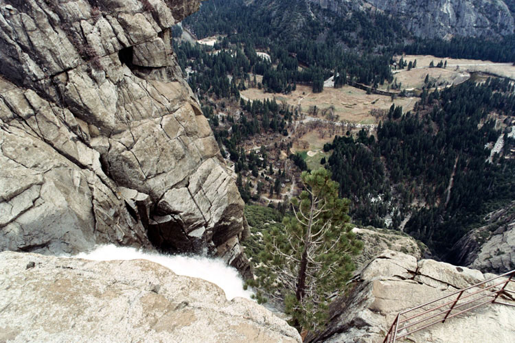
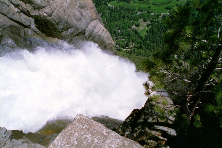
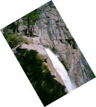
Top of Yosemite Falls |
|
Yosemite Falls Overlook
and Upper Yosemite Fall |
|
|
|
|
| Yosemite Point |
|
 |
|
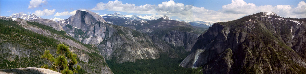
Clouds Rest, North Dome, Half Dome, Mt. Clark, Clark Range, Mt. Starr King,
Glacier Point and Sentinel Dome from Yosemite Point |
|
|
|
|
|
|
|
|
|
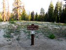
| Taft Point |
|
 |
|
|
|
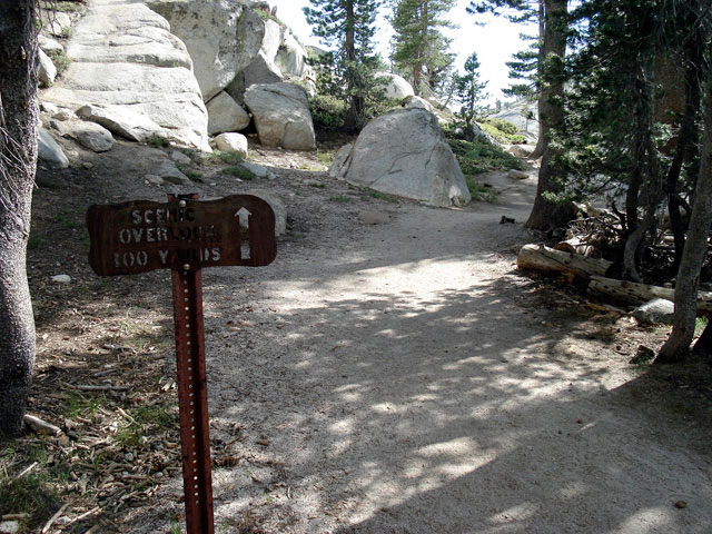
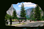
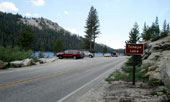
Taft Point Trailhead
off Glacier Point Road |
|
|
|
|
|
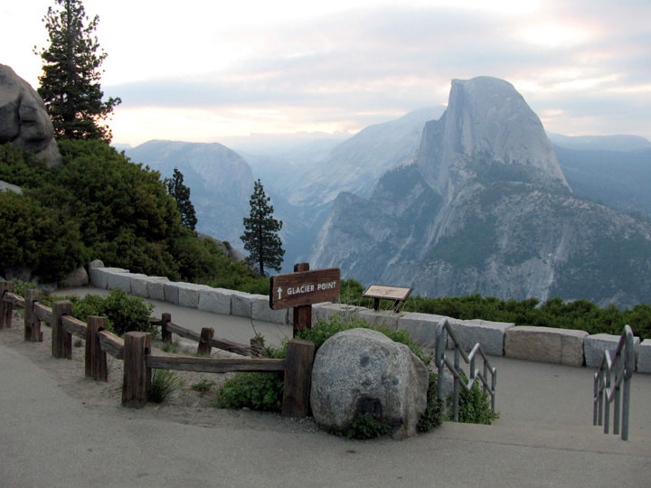
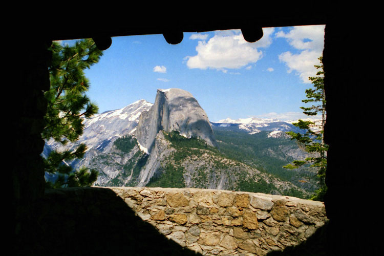
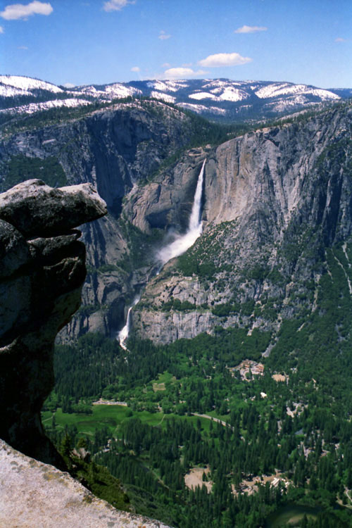
| Glacier Point |
|
 |
|
 |
|
 |
|
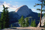
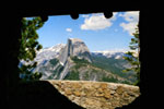
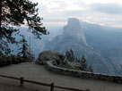
Half Dome from
Glacier Point Trail |
|
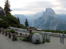
Half Dome from
Geological Exhibit
(Geology Hut) |
|
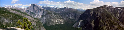
Yosemite Falls and
Yosemite Valley
from Glacier Point |
|
|
|
|
|
|
|
|
|
|
|
|
|
|
| Vista Points (Roadside Viewpoints) [Photo Galleries] |
|
 |
|
 |
|
 |
|
Half Dome from
Washburn Point |
|
Tunnel View and Wawona
Road (Highway 41)
from Wawona Tunnel |
|
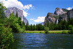
El Capitan, Bridalveil Fall
and Merced River
from Valley View |
|
|
 |
|
 |
|
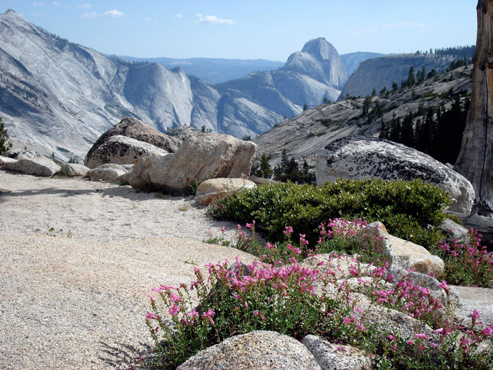
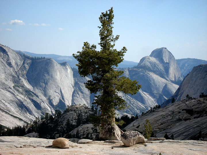
Clouds Rest, Quarter Domes
and Half Dome
from Olmsted Point |
|
Polly Dome, Tenaya Peak
and Tenaya Lake
from Olmsted Point |
|
|
 |
|
 |
|
 |
|
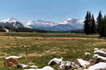
Tenaya Lake and scenic
turnout off Tioga Road |
|
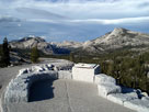
Mt. Dana, Lembert Dome, Mt.
Gibbs, Mammoth Peak
and
Tuolumne Meadows from
viewpoint off Tioga Road |
|
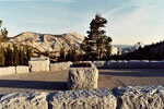
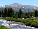
Mt. Dana and Dana Fork
(Dana Meadows) from
viewpoint off Tioga Road |
|