| Mount Whitney |
 |
|
|
|
|
|
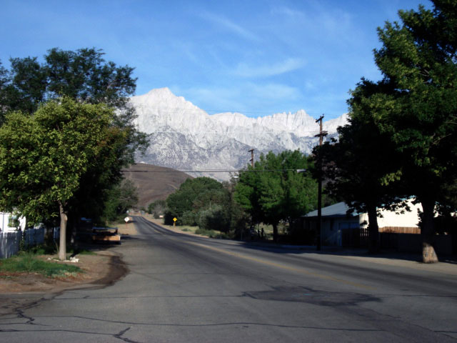
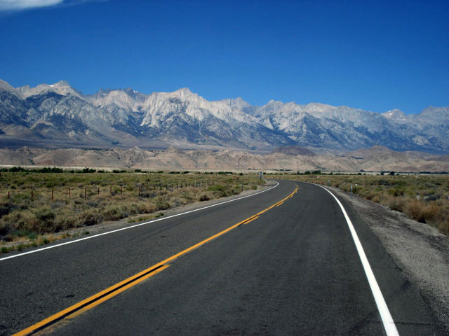
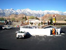
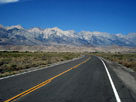
| Lone Pine - Highway 395 (U.S. Route 395) |
|
 |
|
 |
|
|
|
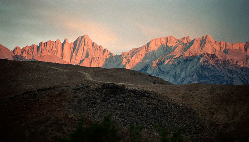
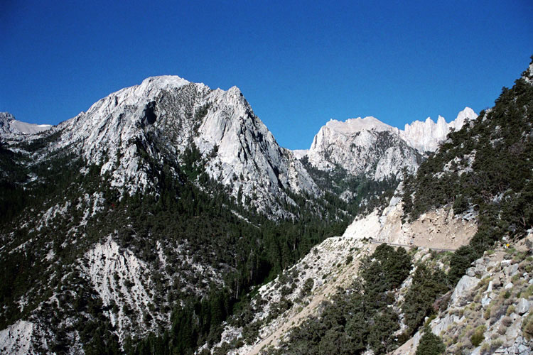
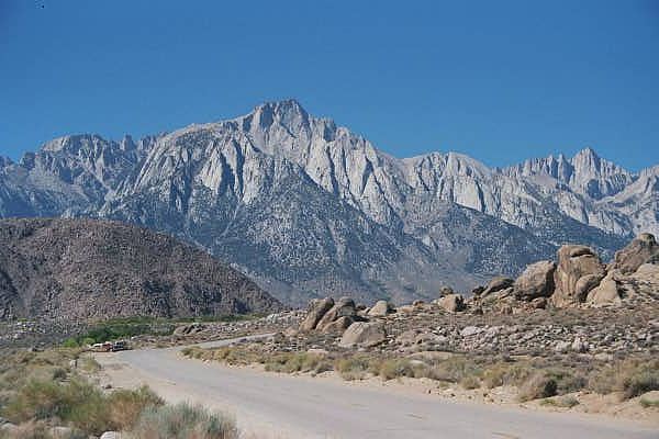
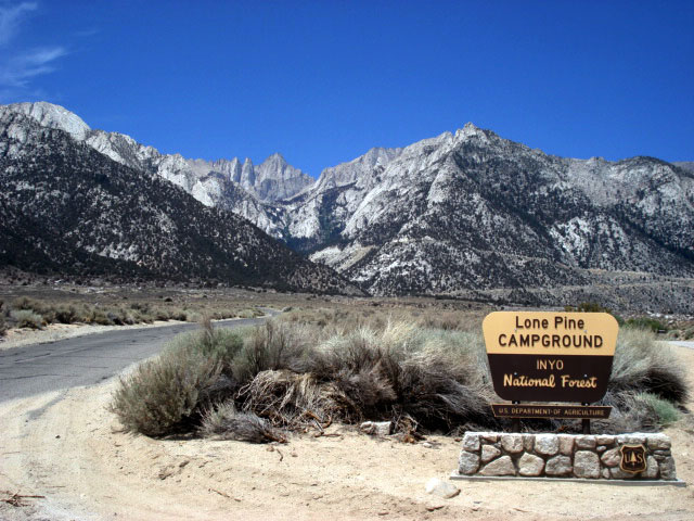
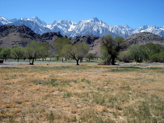
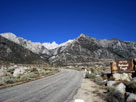
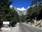
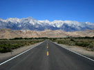
Lone Pine Peak,
Mount Whitney
and Whitney Portal Road |
|
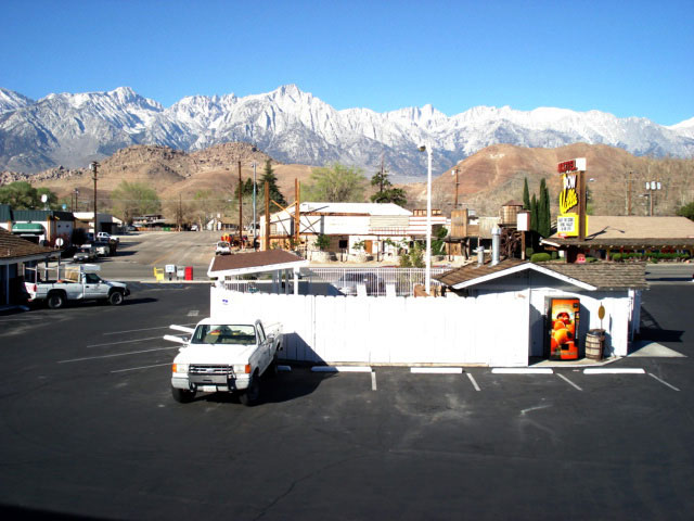
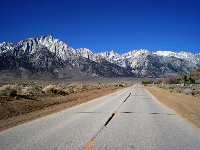
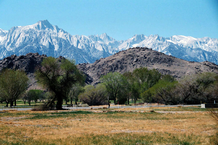
Lone Pine Peak
and Mount Whitney
from Dow Villa Motel |
|
|
|
|
|
|
|
|
|
|
|
|
|
 |
|
 |
|
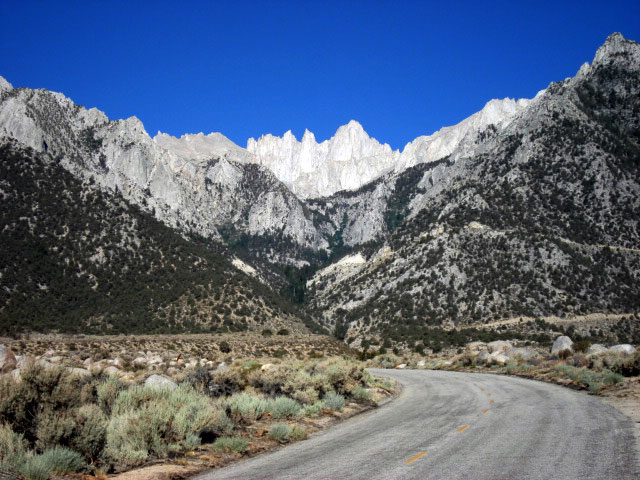
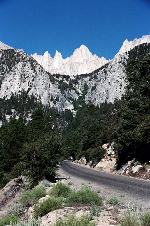
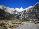
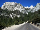
Lone Pine Peak, Mount Whitney
and Whitney Portal Road |
|
|
|
 |
|
 |
|
 |
|
|
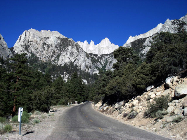
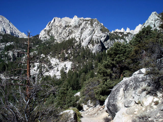
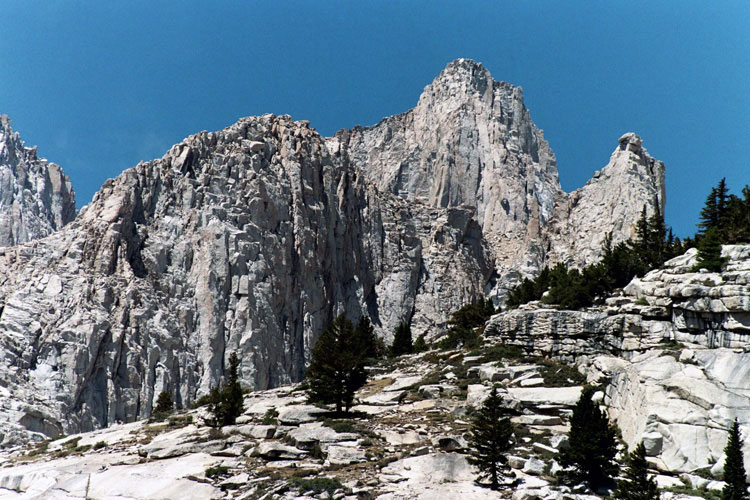
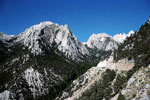
Peak 3681m, Thor Peak
and Mount Whitney |
|
|
|
 |
|
 |
|
 |
|
|
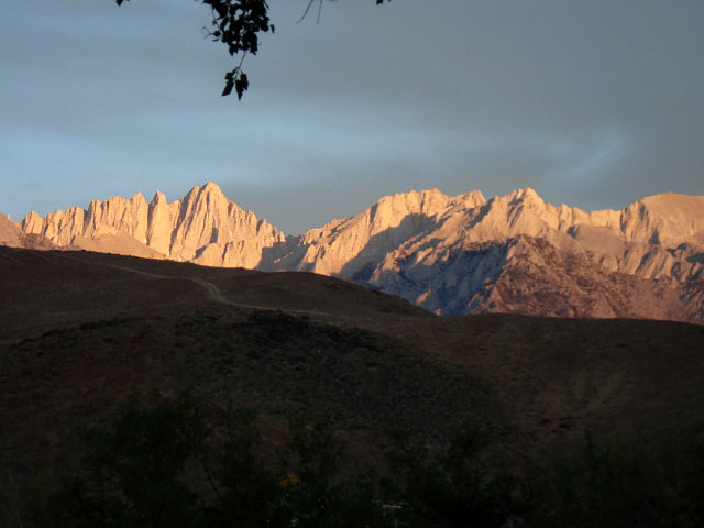
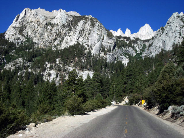
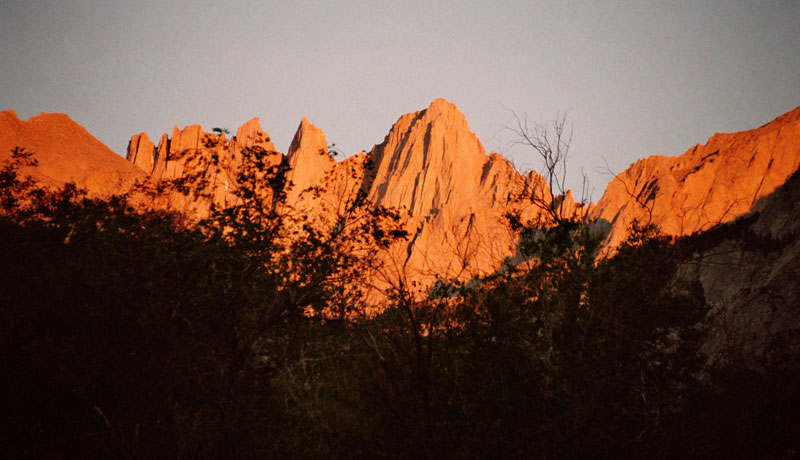
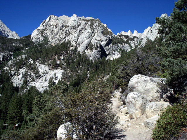
Thor Peak
and Mount Whitney |
|
|
|
|
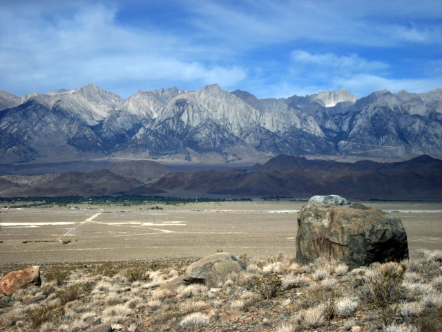
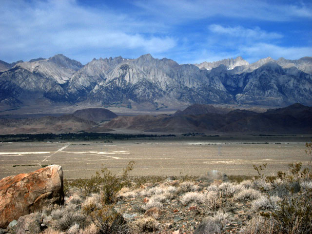
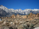
| Alabama Hills |
|
 |
|
 |
|
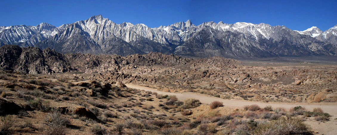
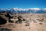
Mount Whitney and series of peaks to Mount Williamson
from Alabama Hills |
|
|
 |
|
 |
|
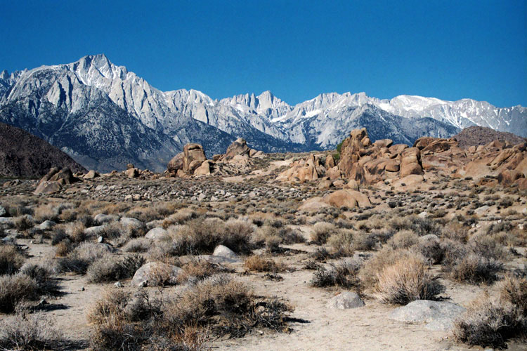
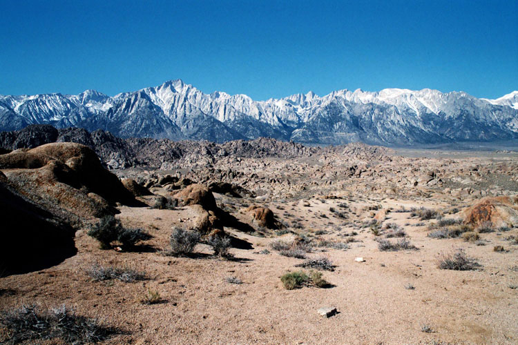
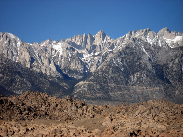
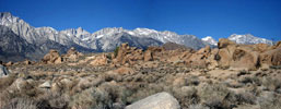
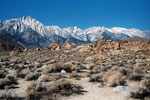
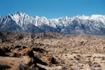
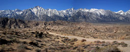
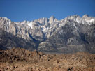
| Lone Pine Peak and Mount Whitney from Alabama Hills |
|
|
 |
|
 |
|
 |
|
|
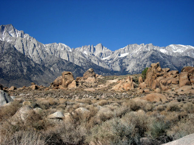
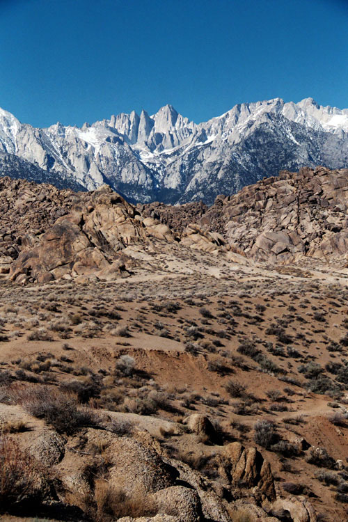
Lone Pine Peak and Mount Whitney from Alabama Hills |
|
|
 |
|
 |
|
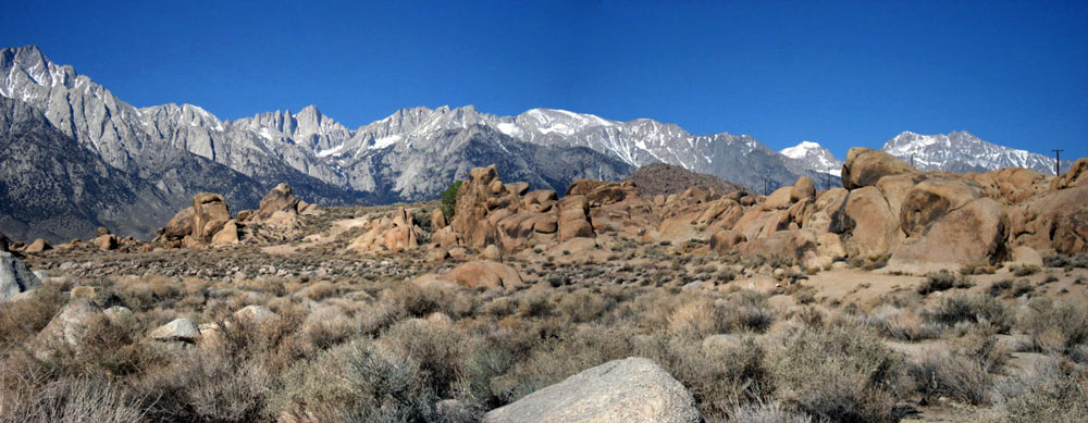
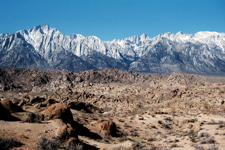
Lone Pine Peak and Mount Whitney
from Alabama Hills |
|
|
|
|
|
|
|
|
|
|
|
|
|
|
|
|
|
|
 |
|
 |
|
 |
|
|
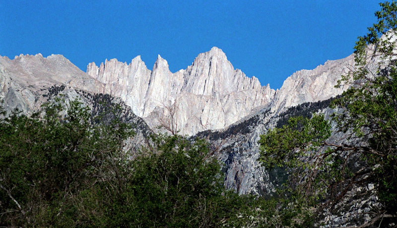
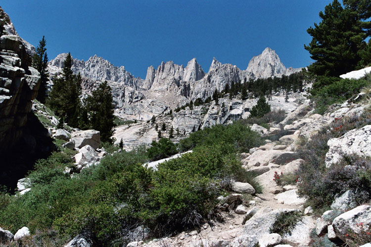
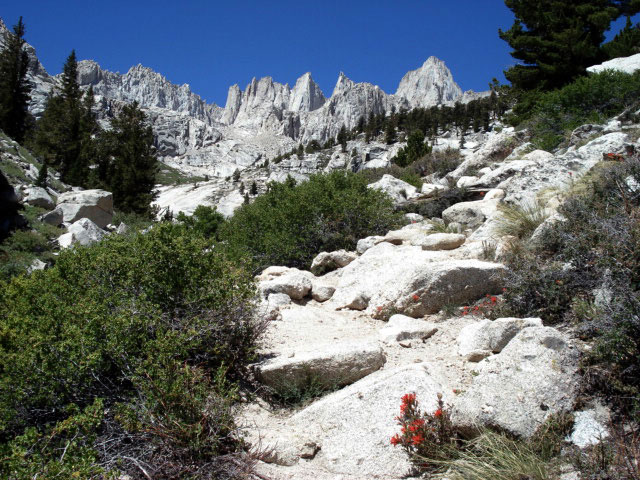
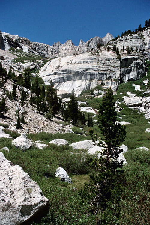
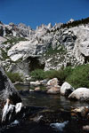
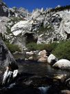
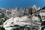
Day Needle, Keeler Needle, Mt. Whitney
and Lower Boy Scout Lake outlet |
|
|
|
|
|
|
|
|
|
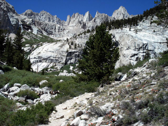
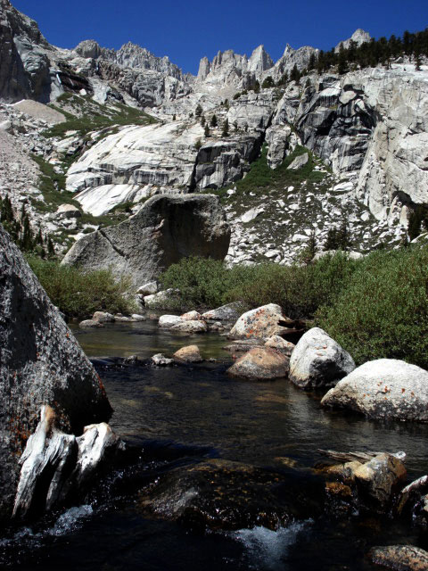
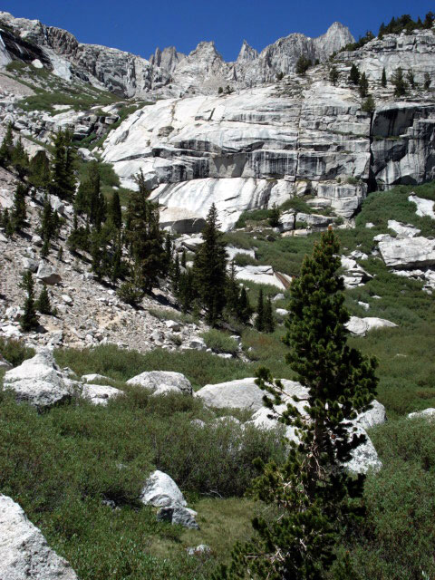
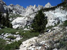
| Above Lower Boy Scout Lake |
|
 |
|
 |
|
 |
|
|
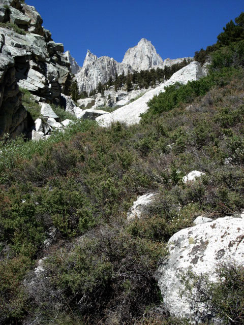
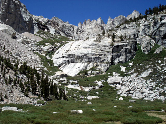
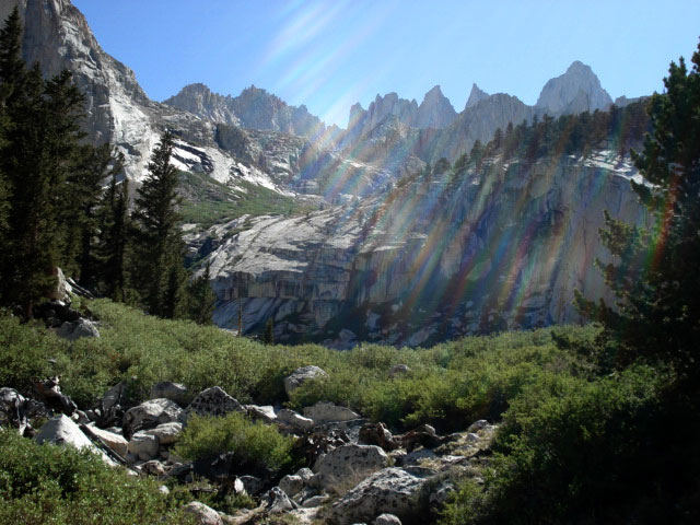
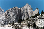
Day Needle, Keeler Needle
and Mount Whitney |
|
Mount Whitney |
|
|
|
|
|
|
|
|
|
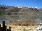
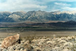
| Diaz Lake |
|
 |
|
 |
|
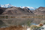
| Lone Pine Peak, Mt. Whitney, Mt. Russell and Diaz Lake |
|
|
|
|
|
|
|
 |
|
 |
|
 |
|
|
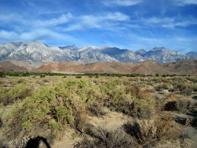
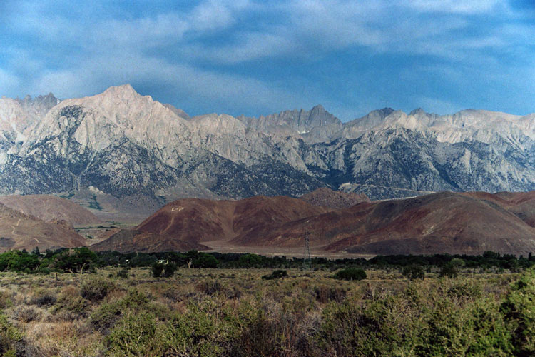
Mount Langley, Lone Pine Peak and Mount Whitney
from Lone Pine Narrow Gauge Road |
|
|
|
|
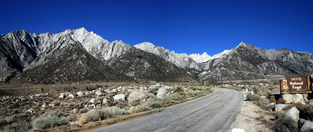
| Highway 136 (California State Route 136) |
|
 |
|
 |
|
|
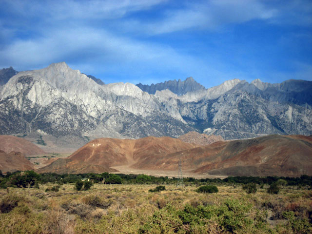
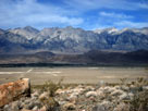
Mt. Whitney, Sierra Crest
and Highway 136 west |
|
|
|
|
| Mount Whitney (Mt. Whitney) Photos on Web |
|
|
|
|