| Highway 395 |
 |
| (U.S. Route 395) |
|
|
|
|
|
|
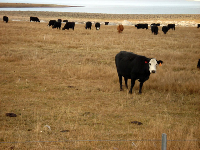
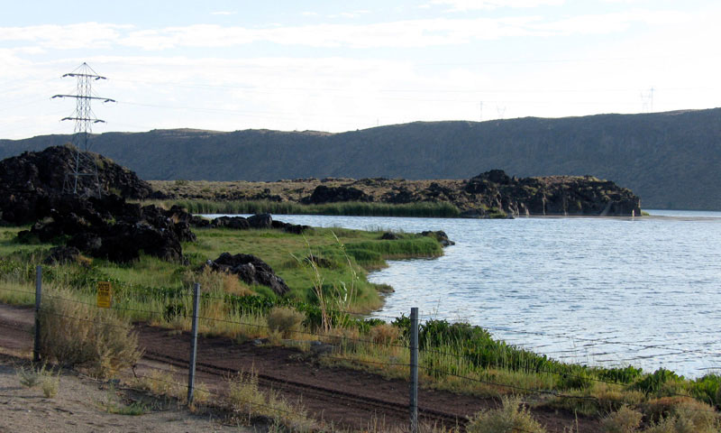
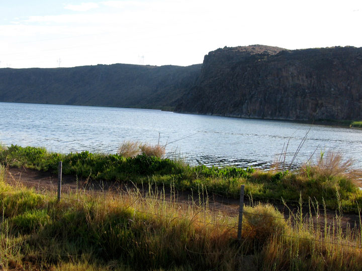
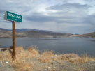
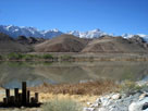
| Topaz Lake |
|
 |
|
 |
|
 |
|
| Topaz Lake from Highway 395 |
|
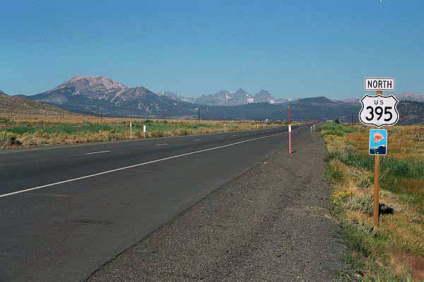
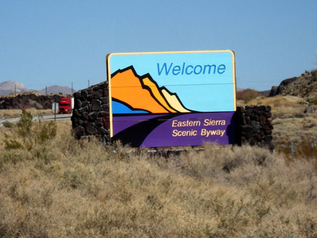
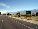
North end of Eastern
Sierra Scenic Byway
near Topaz Lake |
|
|
|
|
|
|
|
|
|
|
|
|
|
|
|
|
|
|
|
|
|
|
|
|
|
|
|
|
|
|
|
|
|
|
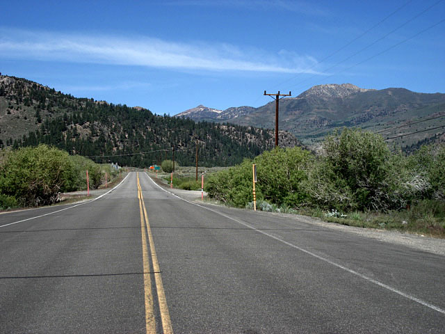
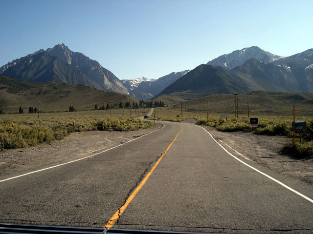
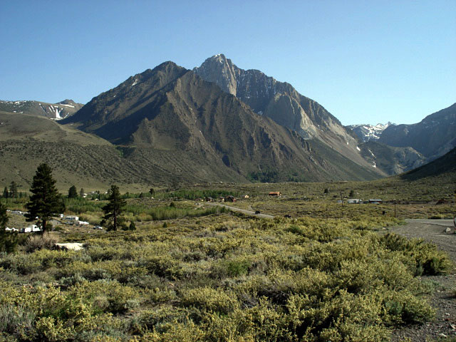
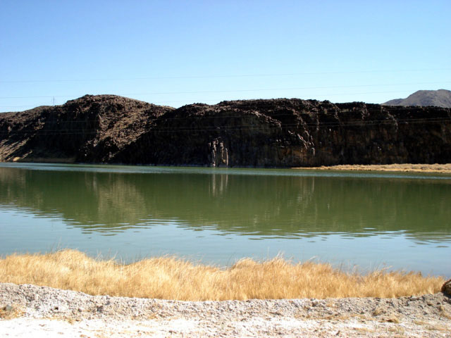
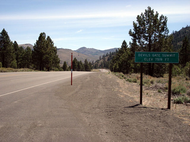
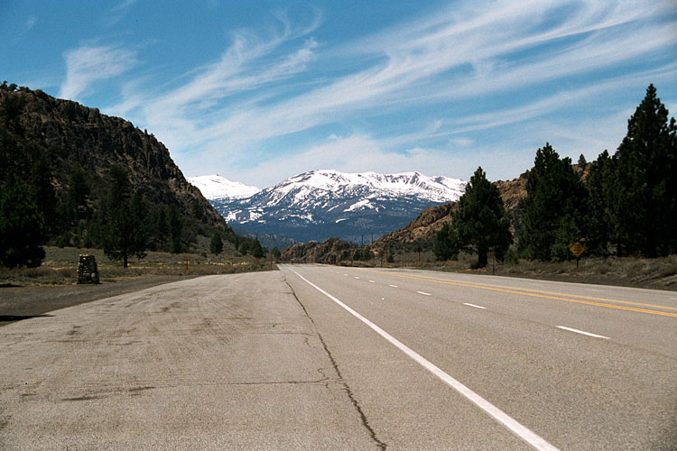
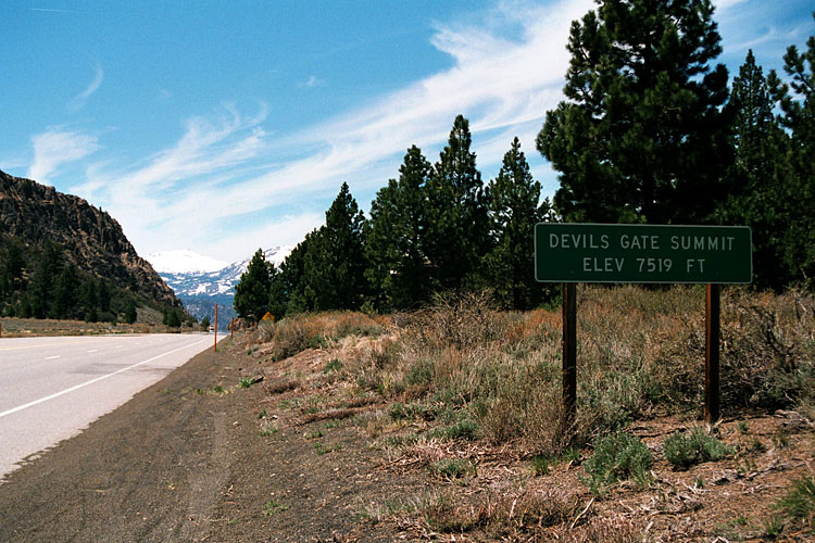
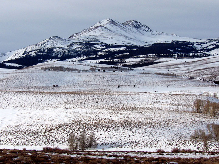
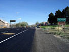
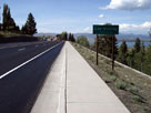
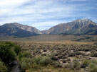
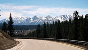
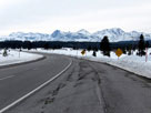
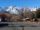
| Devils Gate Summit |
|
 |
|
 |
|
 |
|
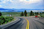
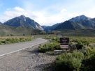
Devils Gate Summit and
Highway 395 (south) |
|
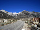
Devils Gate Summit and Highway 395 (north) |
|
|
|
|
|
|
|
|
|
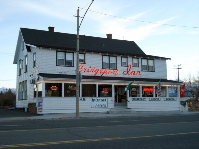
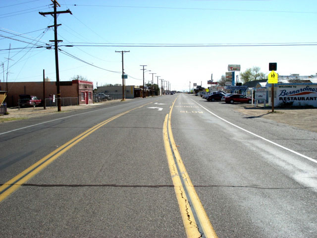
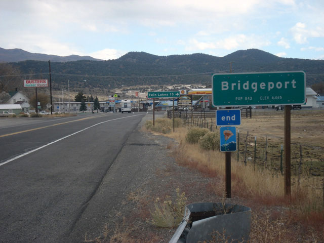
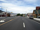
| Bridgeport |
|
 |
|
 |
|
 |
|
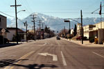
Bridgeport and
Highway 395 (south) |
|
Bridgeport Inn |
|
Bridgeport and
Highway 395 (north) |
|
|
|
|
|
|
|
|
|
|
|
|
|
|
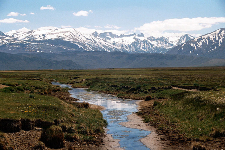
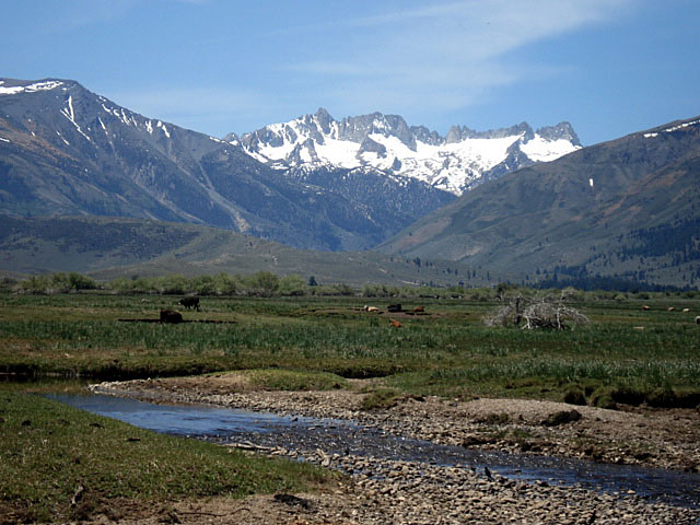
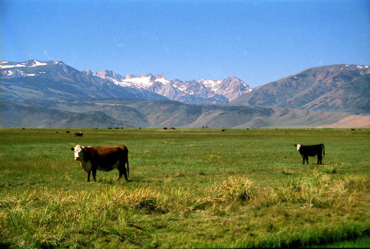
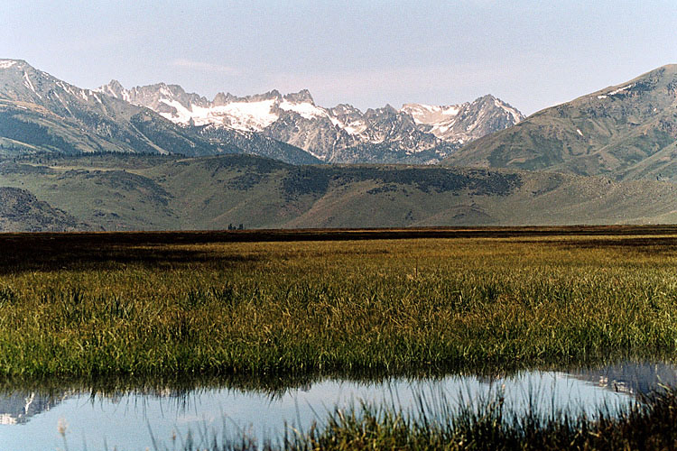
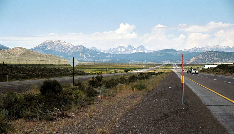
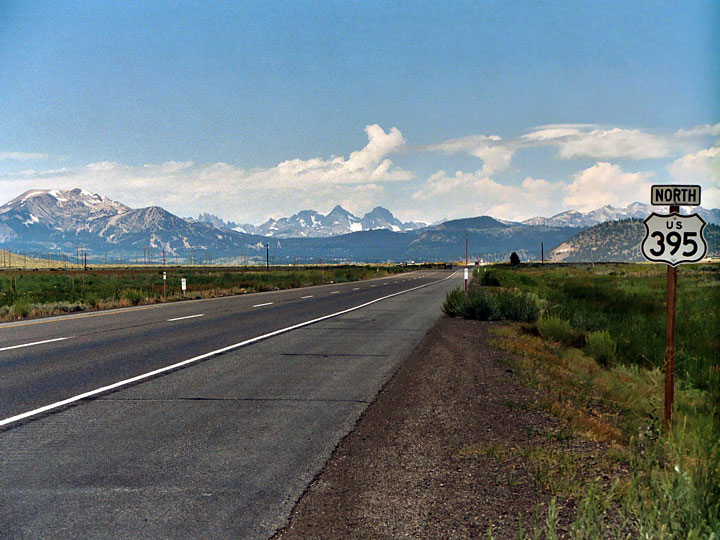
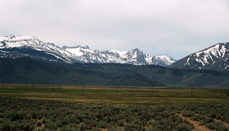
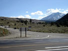
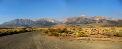
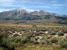
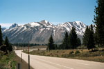
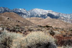
| Sawtooth Ridge from Highway |
|
 |
|
|
|
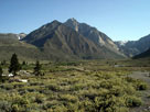
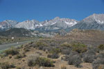
Sawtooth Ridge from
Highway 395 near Bridgeport |
|
|
|
|
|
|
|
|
|
|
|
|
|
|
|
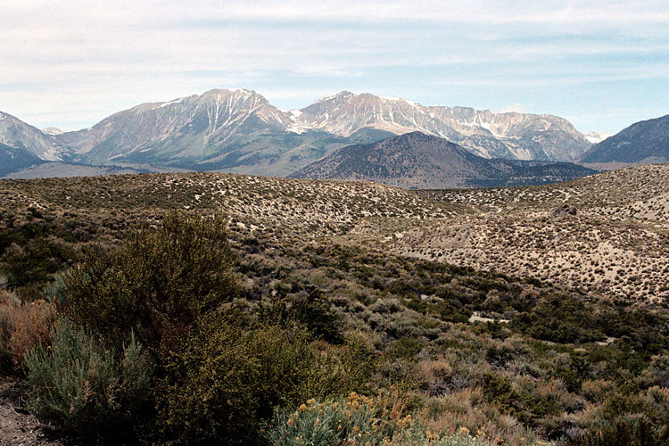
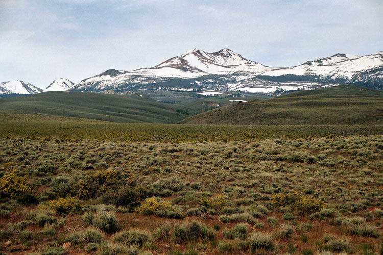
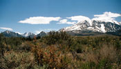
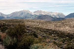
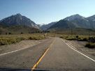
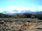
| Dunderberg Peak from Highway |
|
 |
|
 |
|
 |
|
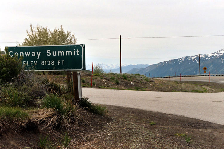
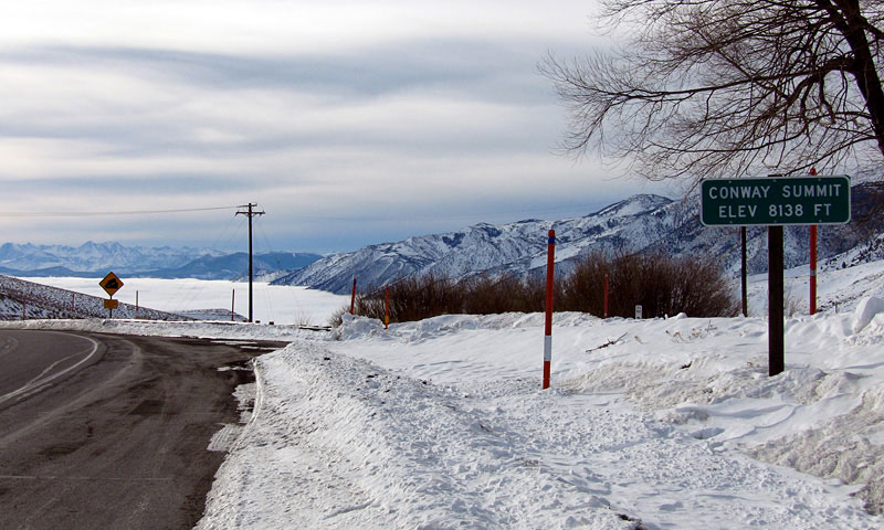
| Dunderberg Peak from Highway 395 near Conway Summit |
|
|
|
|
|
|
|
|
|
|
|
|
|
|
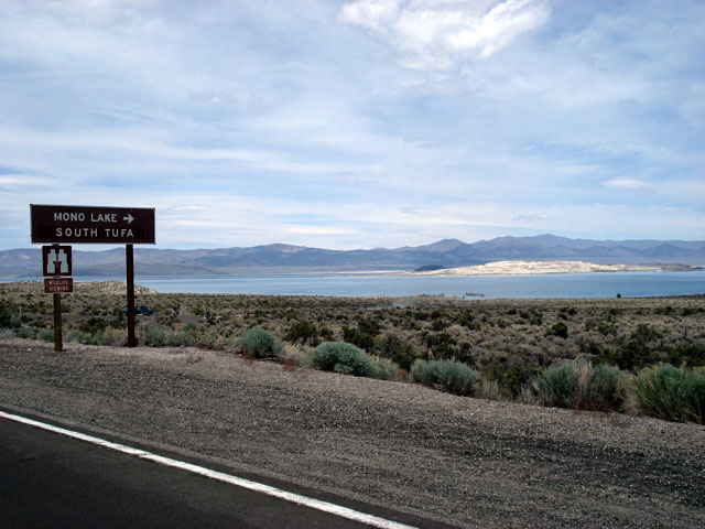
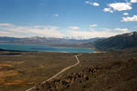
| Mono Lake Vista (Mono Lake Vista Point) |
|
 |
|
 |
|
 |
|
|
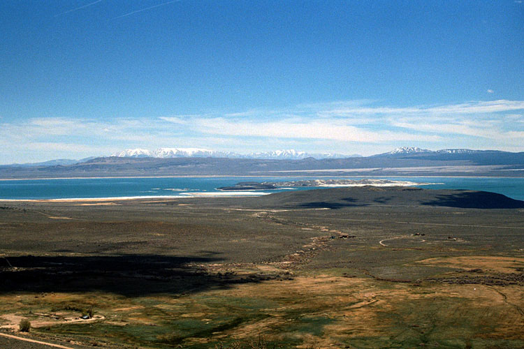
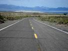
Mono Lake and Highway 395 from Mono Lake Vista
near Conway Summit |
|
|
 |
|
|
|
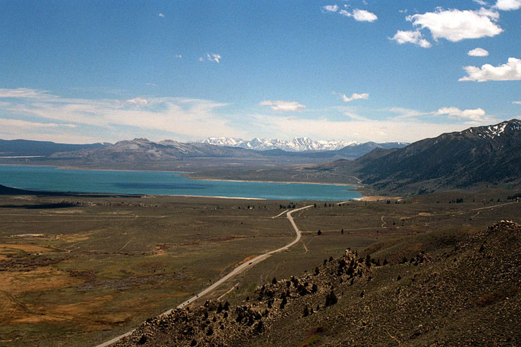
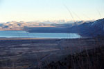
Mono Lake and Highway 395
from below Mono Lake Vista |
|
|
|
|
|
|
|
|
|
|
|
|
|
|
|
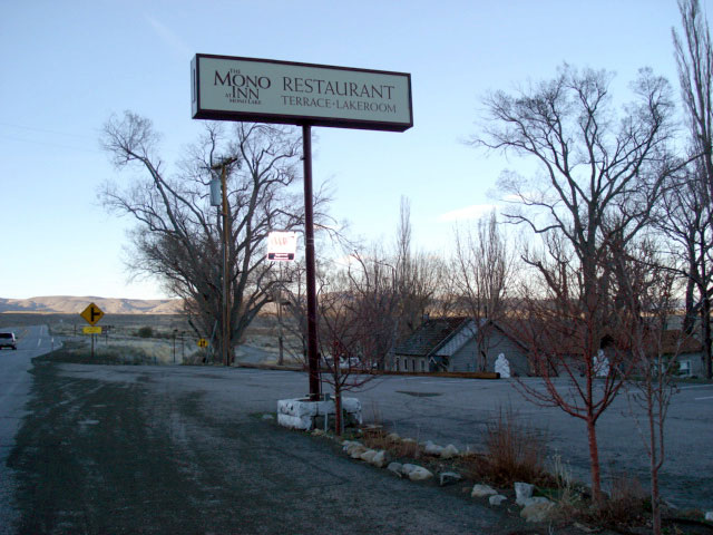
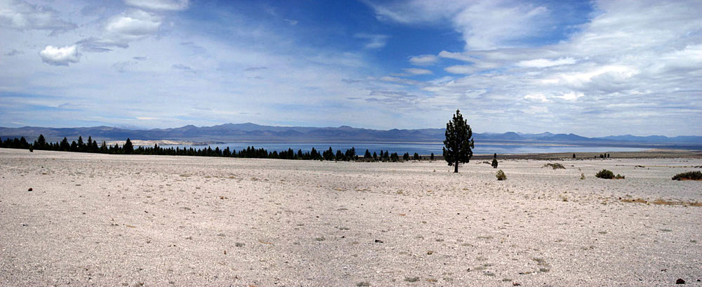
| Mono Lake |
|
 |
|
|
|
Mono Inn at Mono Lake
shore along Highway 395 |
|
|
|
|
|
|
|
|
|
|
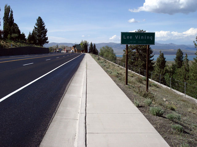
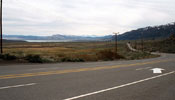
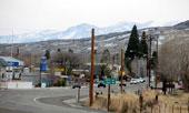
| Lee Vining |
|
 |
|
 |
|
 |
|
Lee Vining and
Highway 395 (south) |
|
Lee Vining and Highway 395 (north) |
|
|
|
|
| Highway 120 (CA State Route 120) West to Tioga Pass |
|
 |
|
 |
|
 |
|
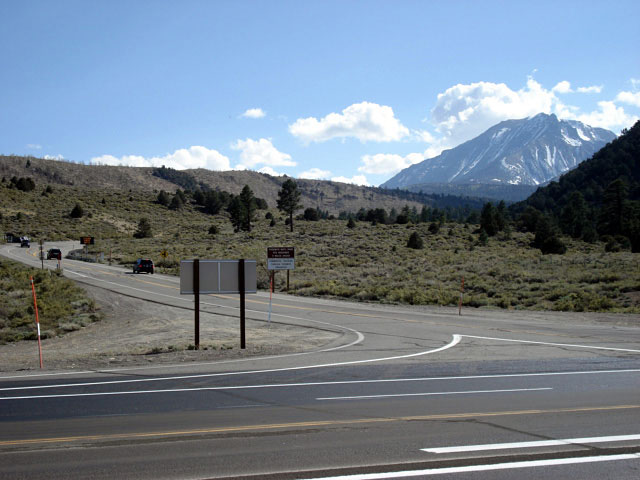
Mount Dana and Highway
120 from Highway 395,
near Lee Vining |
|
Mono Lake and Highway
395 from Highway 120 |
|
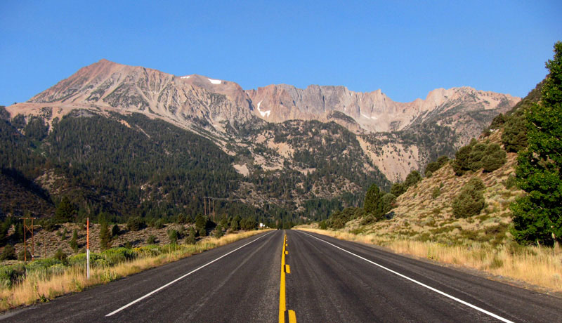
Mount Dana, Dana Crest
and Highway 120 |
|
|
|
|
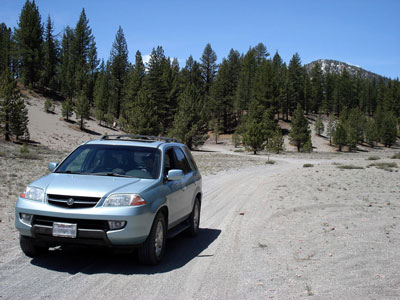
| Picnic Grounds Road |
|
 |
|
|
|
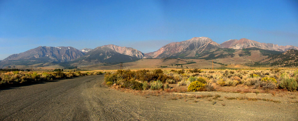
Mt. Wood, Mt. Lewis, Mono Pass, Mt. Gibbs
and Mt. Dana from Picnic Grounds Road
off Highway 395 |
|
|
|
|
|
|
|
|
|
|
|
|
|
|
|
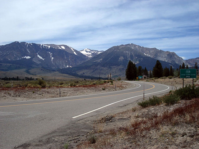
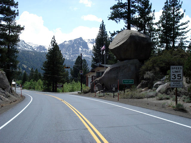
| June Lake Loop North Junction - Highway 158 (CA State Route 158) |
|
 |
|
 |
|
 |
|
|
June Lake Loop
North Junction |
|
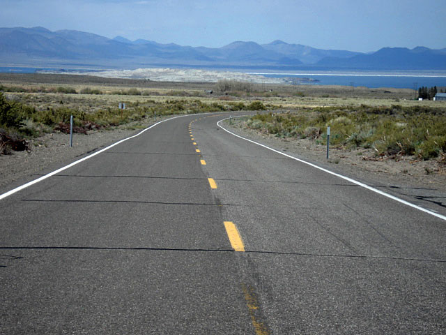
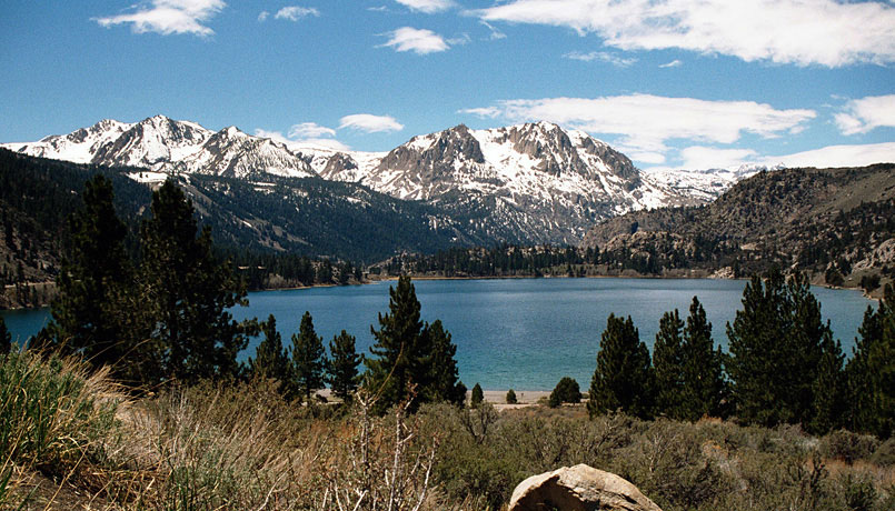
Mono Lake from
June Lake Loop |
|
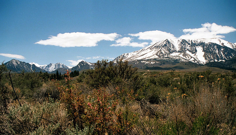
Carson Peak and Mt. Wood
from June Lake Loop |
|
|
|
|
|
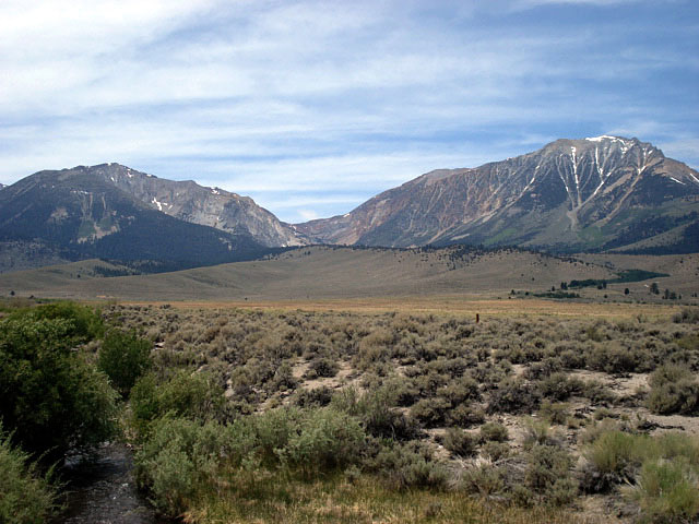
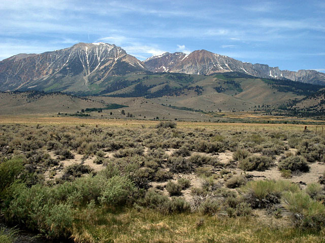
| Mount Gibbs & Mount Dana from Highway |
|
 |
|
 |
|
|
Mount Lewis, Mono Pass, Mount Gibbs, Mount Dana
and Rush Creek from Highway 395 |
|
|
|
|
|
| Highway 120 (CA State Route 120) East |
|
 |
|
 |
|
 |
|
Mt. Gibbs and Mt. Dana
and Highway 120 |
|
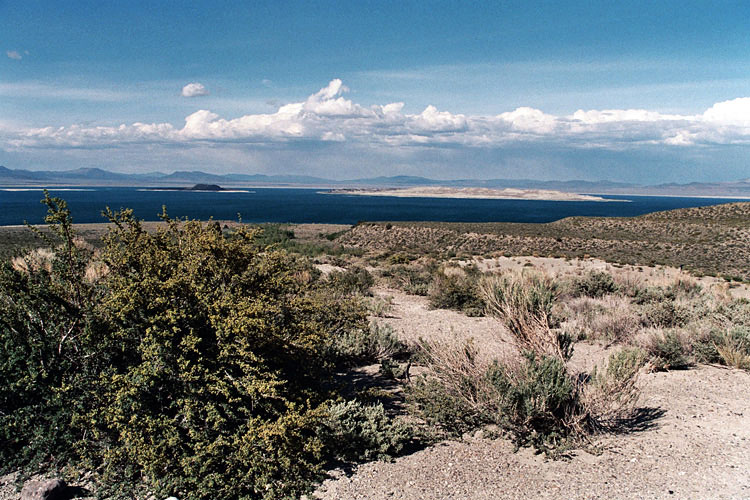
Mono Lake and
Highway 120 (Test
Station Road junction) |
|
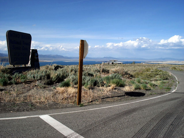
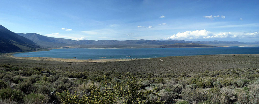
Mono Lake (Mono Basin National
Scenic Area) from Highway 120 |
|
|
|
|
|
|
|
|
|
|
|
|
|
|
|
|
|
|
|
|
|
|
|
|
|
|
|
|
|
|
|
|
|
|
|
|
|
|
|
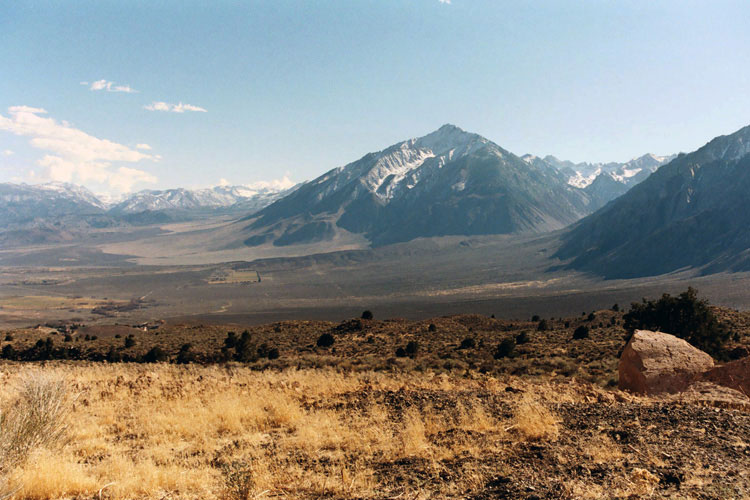
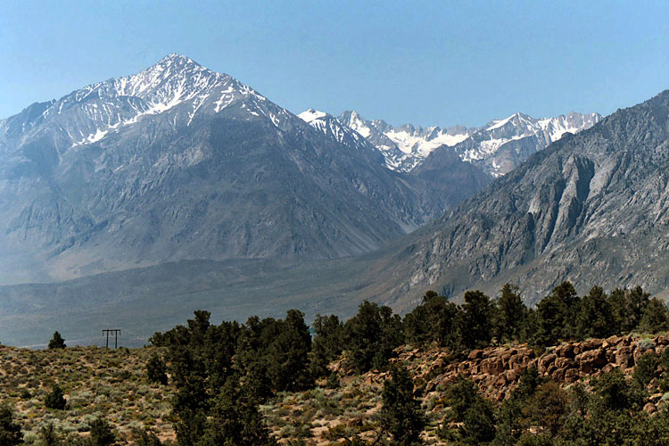
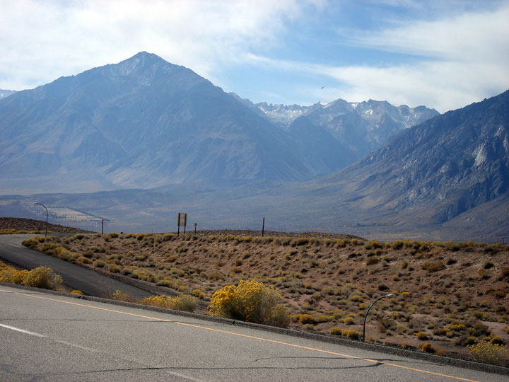
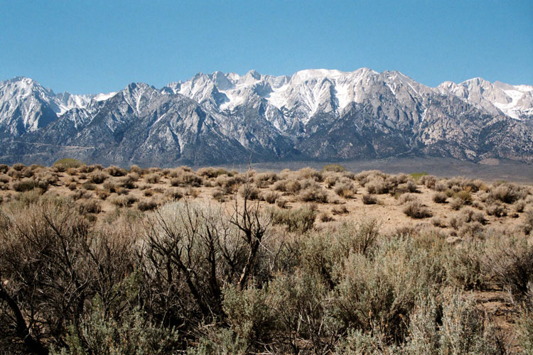
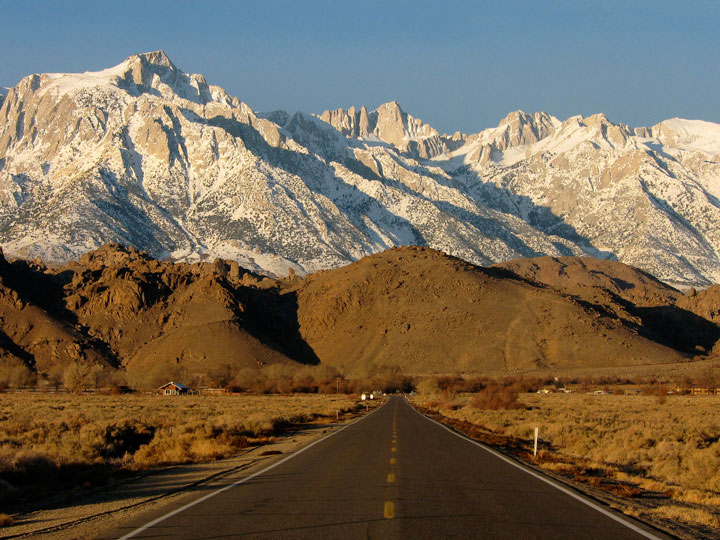
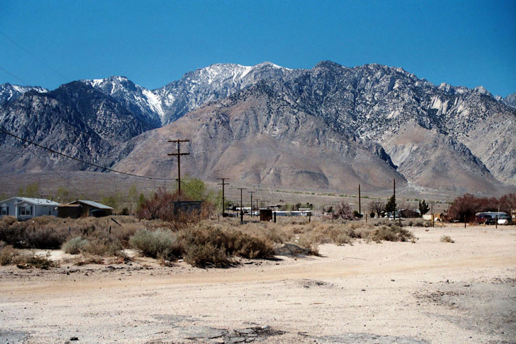
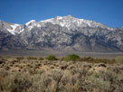
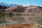
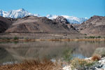
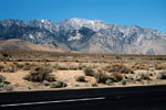
| Sherwin Range from Highway |
|
 |
|
 |
|
 |
|
| Sherwin Range (Mount Morrison and Laurel Mountain) and Highway 395 |
|
|
|
|
|
|
|
|
|
|
|
|
|
|
|
|
|
|
|
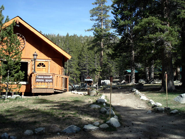
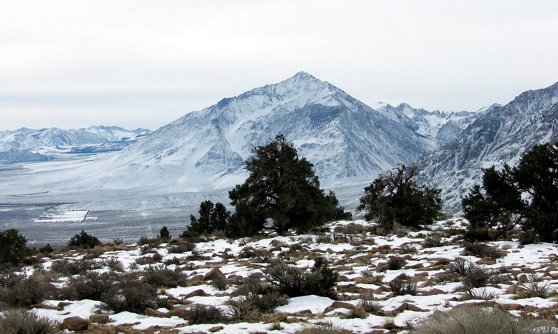
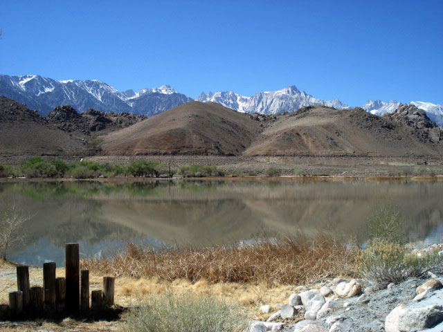
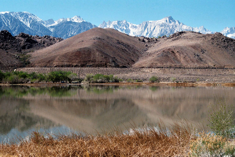
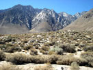
| Convict Lake Road |
|
 |
|
 |
|
 |
|
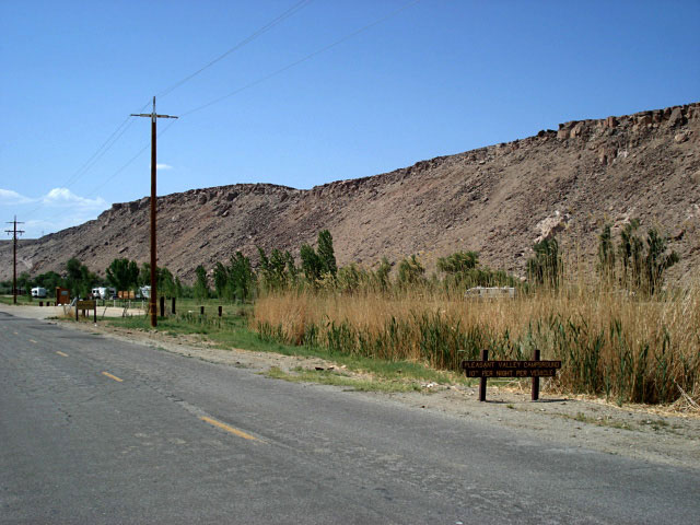
Mount Morrison, Laurel Mountain and
Convict Lake Road off Highway 395 |
|
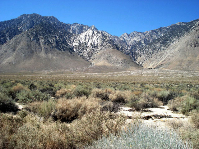
Mount Morrison and
Convict Lake Campground |
|
|
|
|
|
|
|
|
|
|
|
|
|
|
|
|
|
|
|
|
|
|
|
|
|
|
|
|
|
|
|
|
|
|
|
|
|
|
|
|
|
|
|
|
|
|
|
|
|
|
|
|
|
|
|
|
|
|
|
|
|
|
|
|
|
|
|
|
|
|
|
|
|
|
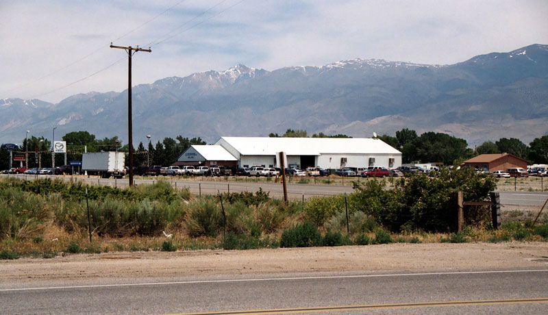
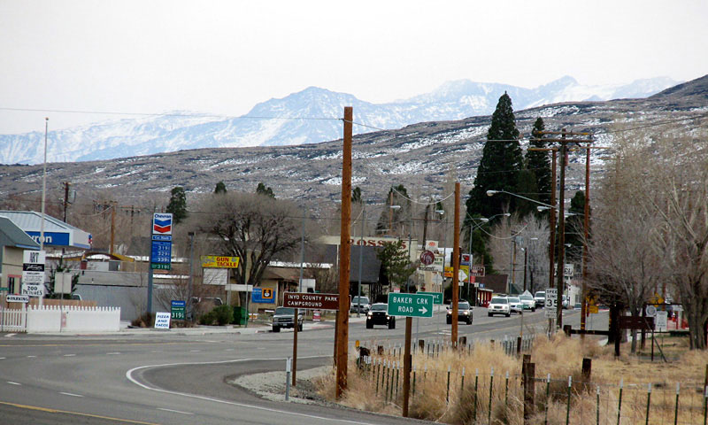
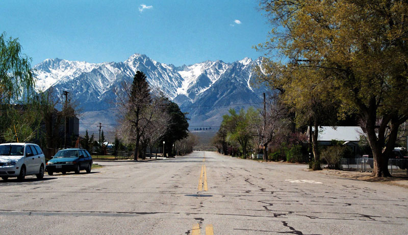
| Bishop |
|
 |
|
 |
|
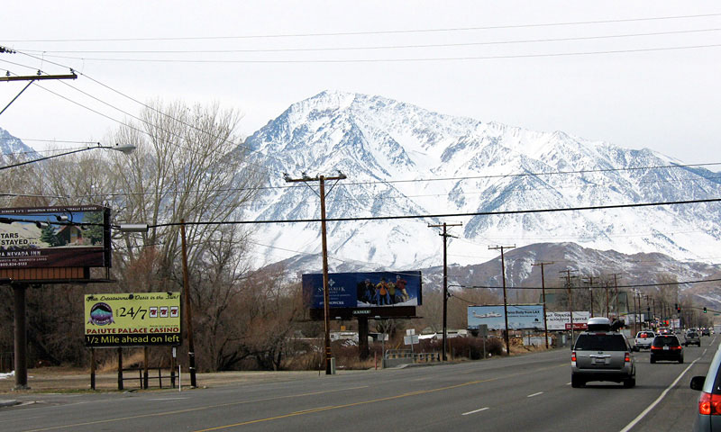
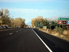
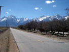
Mount Tom and
Highway 395 (north) |
|
Bishop and
Highway 395 (north) |
|
|
|
|
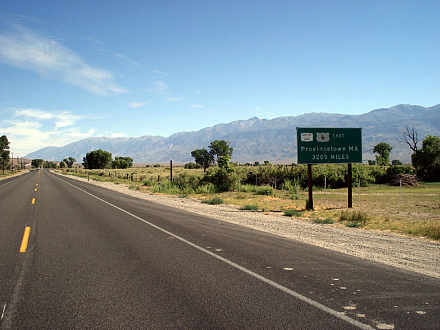
| Highway 6 (U.S. Route 6) |
|
 |
|
 |
|
White Mountain Peak
and Highway 6, Bishop |
|
White Mountains
and Highway 6 |
|
|
|
|
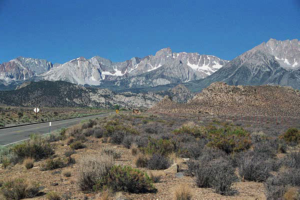
| Highway 168 (CA State Route 168) West |
|
 |
|
 |
|
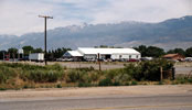
Mount Tom and
West Line Street
(Highway 168), Bishop |
|
Mount Humphreys
and Highway 168
(Sabrina Road) |
|
|
|
|
|
|
|
|
|
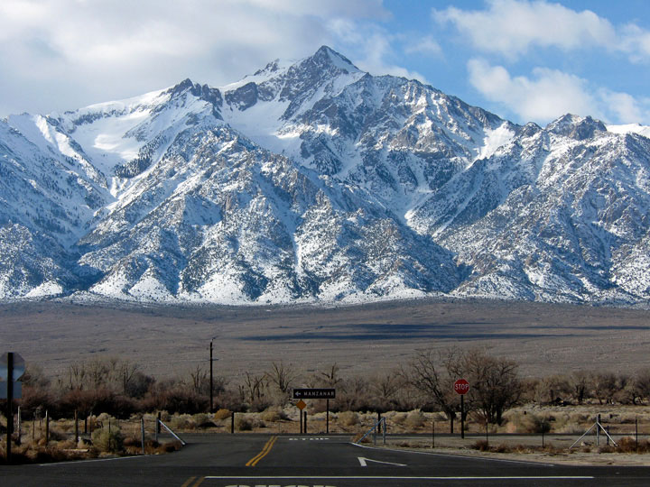
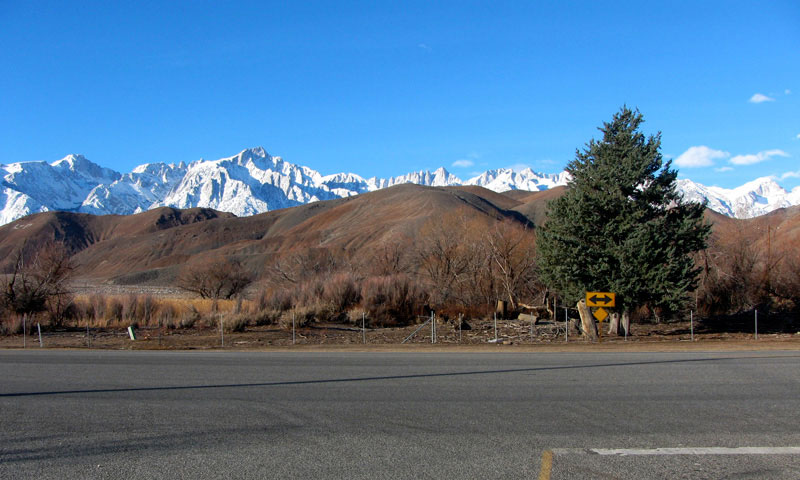
| Split Mountain from Highway |
|
 |
|
 |
|
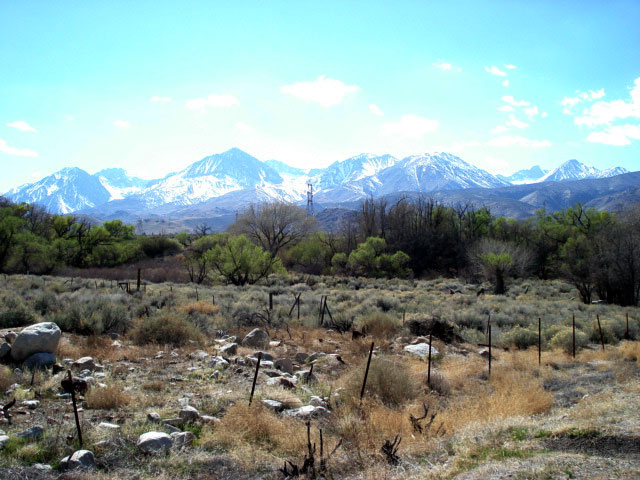
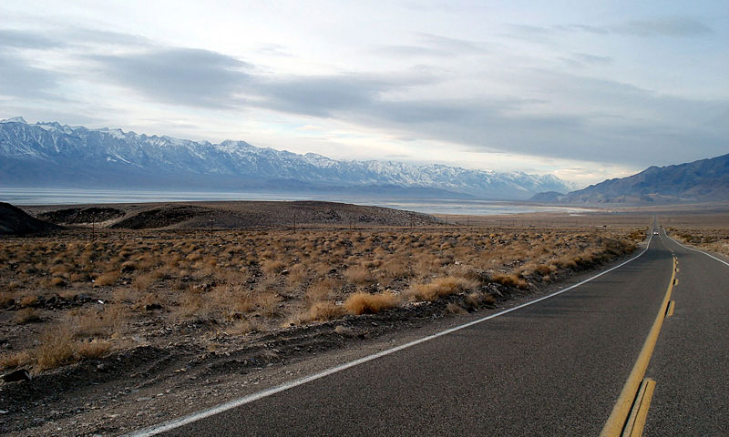
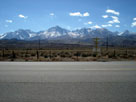
Mount Tinemaha, Split Mountain and Birch Mountain
from Highway 395 near Big Pine |
|
|
|
|
| Highway 168 (CA State Route 168) East |
|
 |
|
 |
|
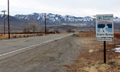
Highway 395 (north) and
Highway 168 (Westgard Pass
Road) near Big Pine |
|
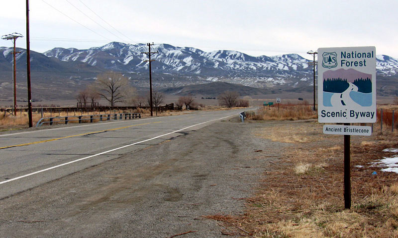
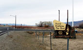
Highway 168 (Ancient
Bristlecone Scenic Byway) |
|
|
|
|
| Big Pine |
|
 |
|
 |
|
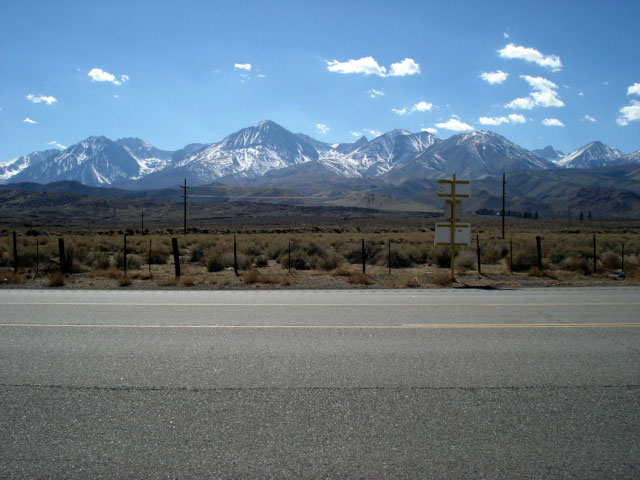
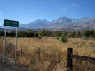
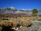
Mount Tinemaha,
Split Mountain
and Birch Mountain
from Highway 395 |
|
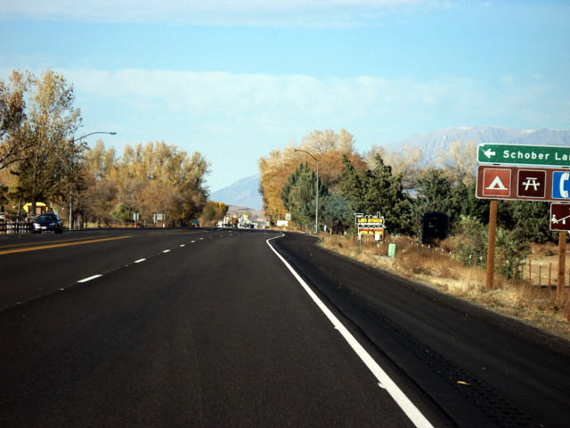
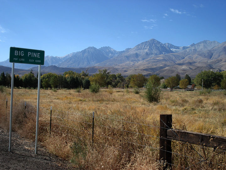
Big Pine and
Highway 395 (south) |
|
|
|
|
|
|
|
|
|
|
|
|
|
|
|
|
|
|
|
| Goodale Road |
|
 |
|
 |
|
Goodale Mountain
and Goodale Creek
Campground |
|
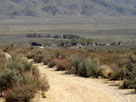
Aberdeen and
Goodale Road |
|
|
|
|
|
|
|
|
|
|
|
|
|
|
| Onion Valley Road |
|
 |
|
 |
|
Onion Valley Road off
Highway 395, Independence |
|
Mount Williamson
and Onion Valley Road |
|
|
|
|
|
|
|
|
|
|
|
|
|
|
|
|
|
|
|
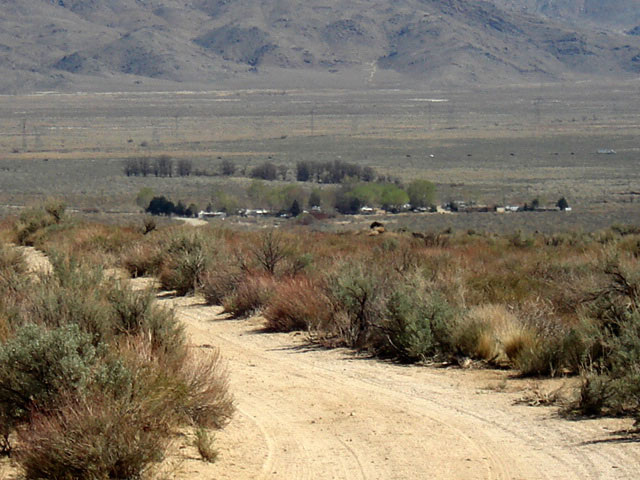
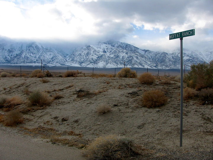
| Moffat Ranch Road |
|
 |
|
|
 |
|
 |
|
 |
|
Moffat Ranch Road
off Highway 395 |
|
Mount Carillon (?) from
Moffat Ranch Road |
|
Mount Williamson from
Moffat Ranch Road |
|
|
|
|
| Lone Pine Narrow Gauge Road |
|
|
|
|
 |
|
 |
|
 |
|
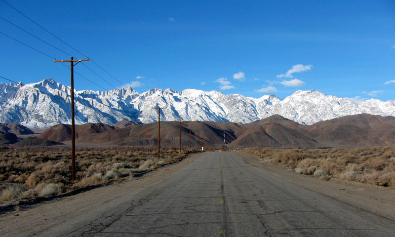
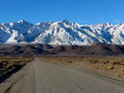
Lone Pine Peak, Mt. Whitney
and U.S. 395 from Lone
Pine Narrow Gauge Road |
|
Mount Whitney and Mount
Williamson from Lone Pine
Narrow Gauge Road |
|
Mount Langley, Lone
Pine Peak and
Mount Whitney |
|
|
|
|
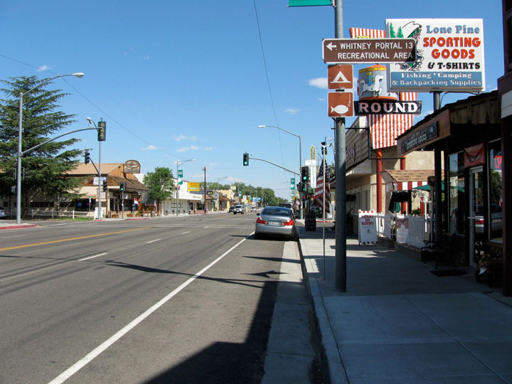
| Lone Pine |
|
 |
 |
|
|
 |
|
 |
|
 |
|
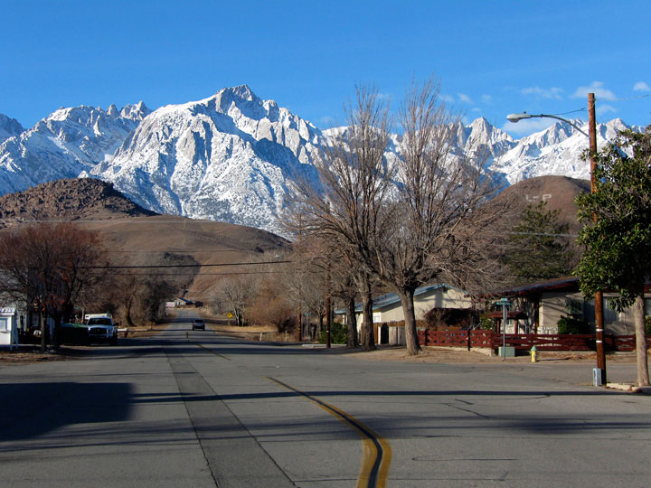
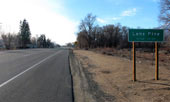
Lone Pine and
U.S. 395 (south) |
|
U.S. 395 (north) near
Whitney Portal Rd junction |
|
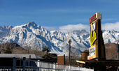
Lone Pine Peak and Mount
Whitney from Dow Villa Motel |
|
|
|
|
| Whitney Portal Road |
|
|
|
|
 |
|
 |
|
 |
|
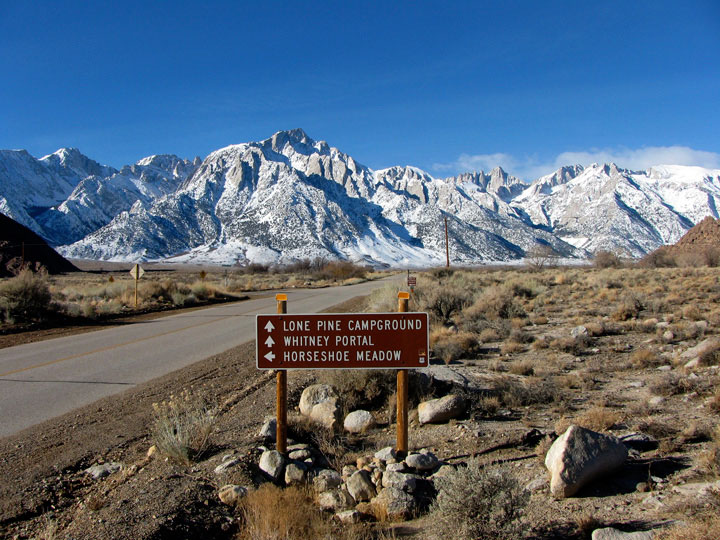
Lone Pine Peak and
Mount Whitney from
Whitney Portal Road
off U.S. 395, Lone Pine |
|
Lone Pine Peak,
Mount Whitney and
Whitney Portal
Road |
|
Whitney Portal Road
into Inyo National Forest |
|
|
|
|
| Highway 136 (California State Route 136) |
|
|
 |
|
|
|
 |
|
 |
|
 |
|
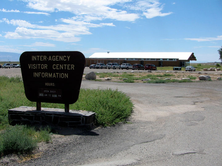
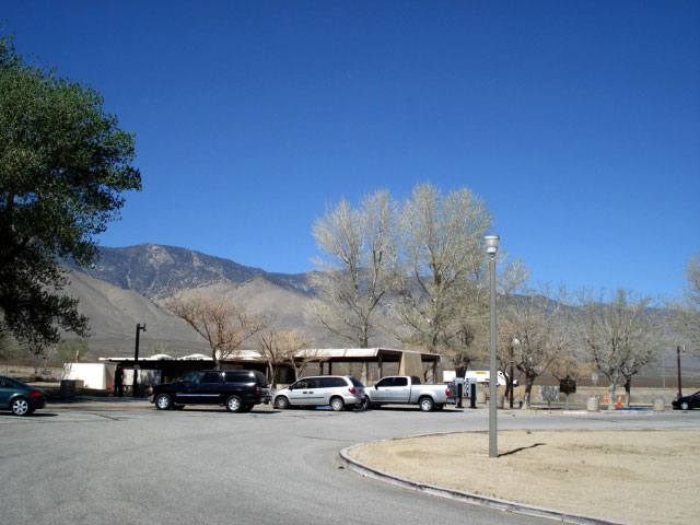
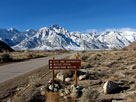
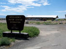
Eastern Sierra Interagency
Visitor Center
off Highway 136 |
|
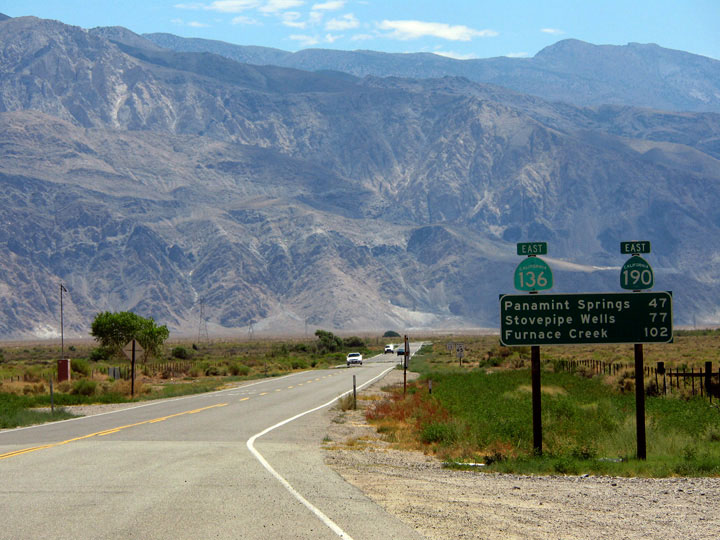
Inyo Mountains and
Highway 136 (east) |
|
Lone Pine Peak, Mount
Whitney and Mount Russell
from Highway 136 |
|
|
|
|
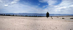
| Diaz Lake (Diaz Lake Recreation Area) |
|
 |
|
 |
|
 |
|
|
Mount Langley, Lone Pine Peak, Mount Whitney
and Diaz Lake |
|
|
|
|
| Cartago |
|
 |
|
 |
|
| Cartago Peak (?) from Cartago |
|
|
|
|
|
|
|
|
|
|
|
|
|
|
| Sage Flats Road |
|
 |
|
 |
|
Olancha Peak
and Highway 395 near
Sage Flats Road junction |
|
Olancha Peak
from Sage Flat |
|
|
|
|
|
|
|
|
|
|
|
|
|
|
|
|
|
|
|
|
|
|
|
|
|
|
|
|
|
|
|
|
|
|
|
|
|
|
|
| Highway 178 (California State Route 178) |
|
 |
|
|
|
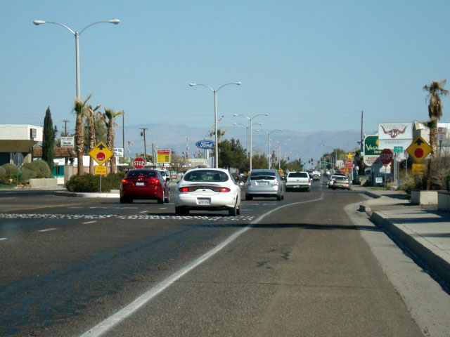
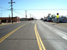
Inyokern and CA 178
(West Inyokern Road) |
|
|
|
|
|
|
|
|
|
|
| Ridgecrest |
|
 |
|
|
|
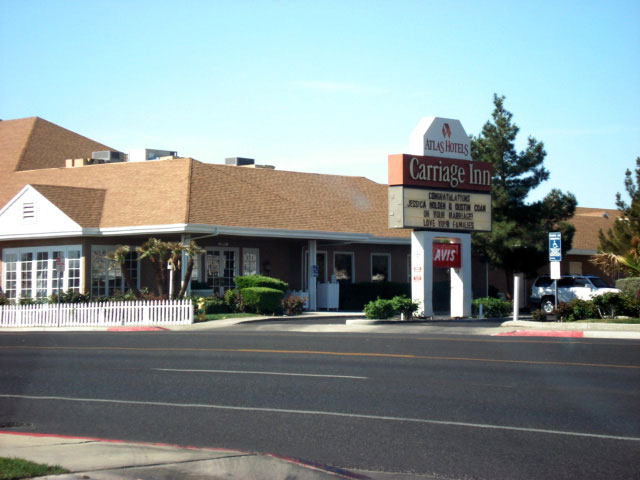
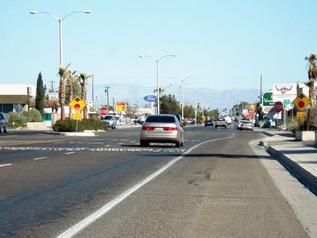
Carriage Inn, Ridgecrest
and North China Lake
Boulevard (CA 178) |
|
|
|
|
|
|
|
|
|
|
|
|
|
|
|
|
|
|
|
|
|
|
|
|
|
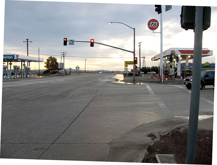
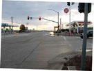
| Kramer Junction - Highway 58 (California State Route 58) |
|
|
 |
|
 |
|
 |
|
 |
|
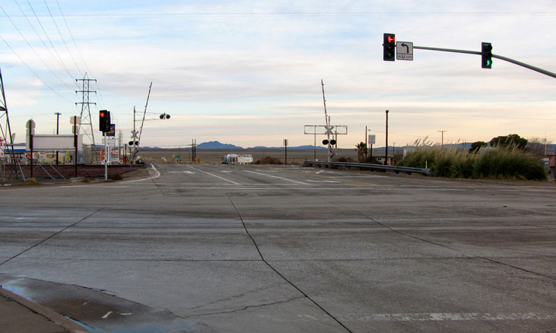
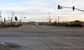
U.S. 395 (north)
and Kramer Junction |
|
CA 58 (east) and U.S. 395 at Kramer Junction |
|
|
|
|
| Highway 395 (U.S. Route 395) Photos on Web |
|
|
|
|