| ローン・パイン・ピーク |
 |
| (Lone Pine Peak) |
|
|
|
|
|
|
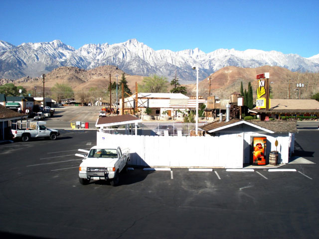
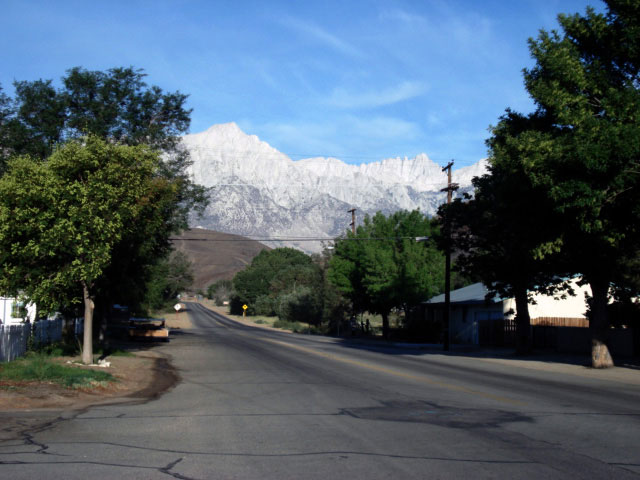
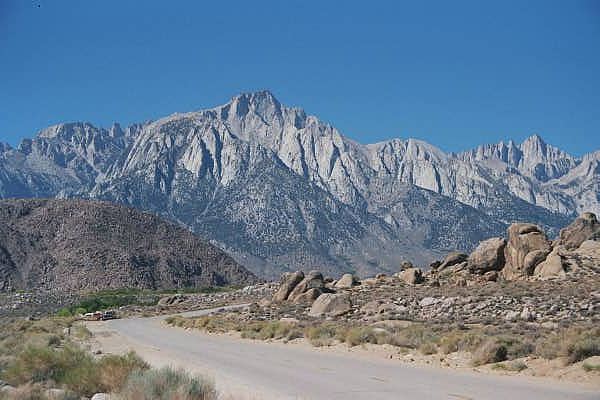
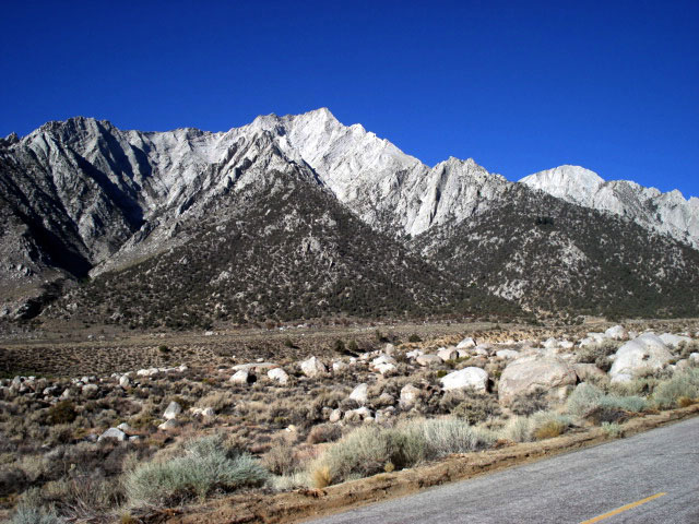
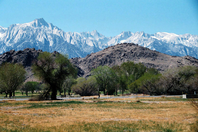
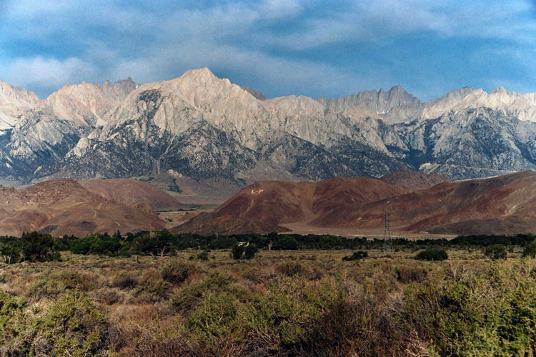
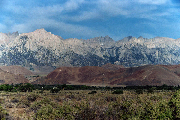
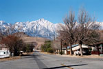
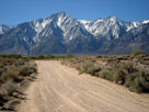
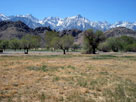
| Lone Pine - Highway 395 (U.S. Route 395) |
|
 |
|
|
|
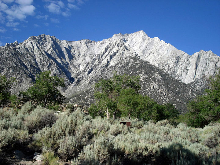
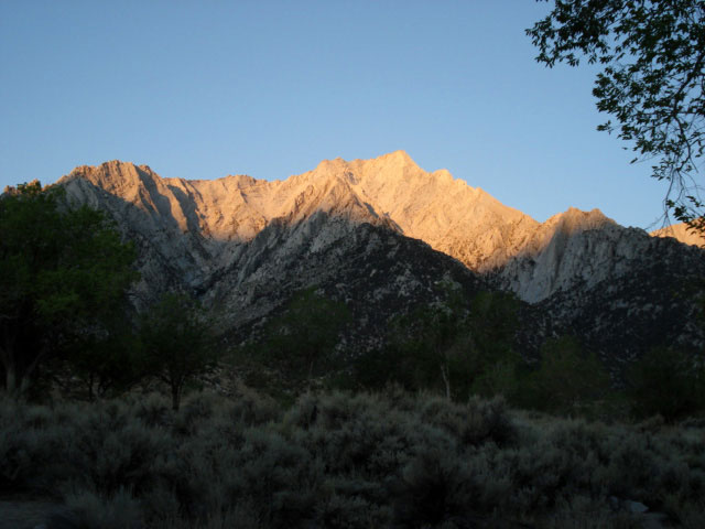
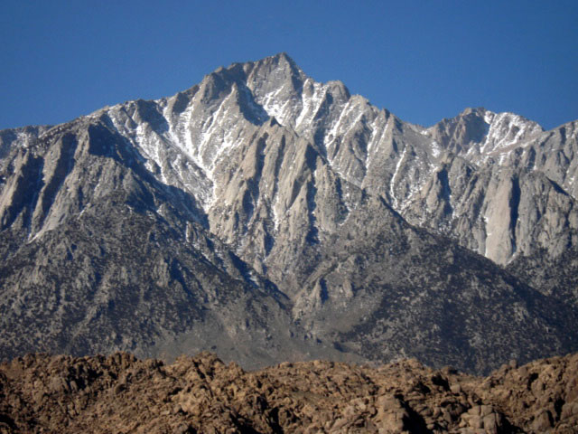
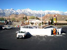
Lone Pine Peak and Mt.
Whitney from Dow Villa
Motel, Lone Pine |
|
|
|
 |
|
 |
|
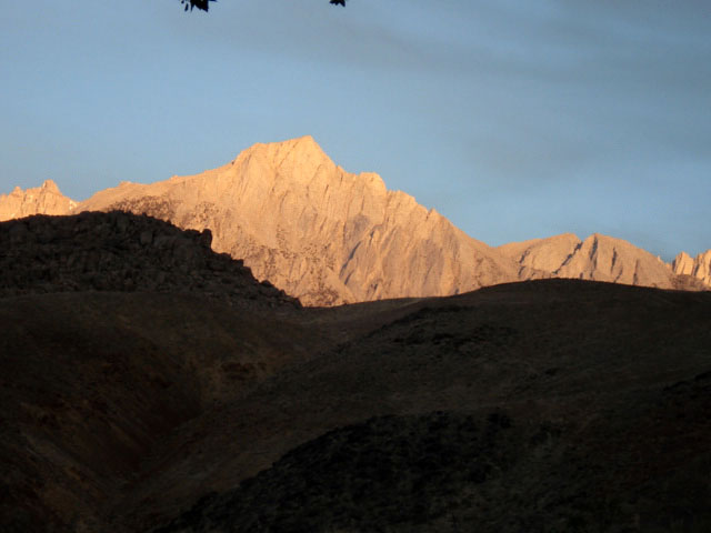
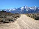
Lone Pine Peak and Mount Whitney
from Whitney Portal Road off Highway 395 |
|
|
|
|
|
|
|
|
|
|
|
|
 |
|
 |
|
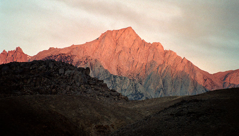
Lone Pine Peak and Mount Whitney
from Whitney Portal Road |
|
|
 |
|
|
|
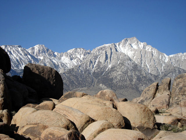
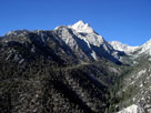
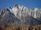
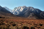
Lone Pine Peak from
Whitney Portal Road |
|
|
|
 |
|
 |
|
|
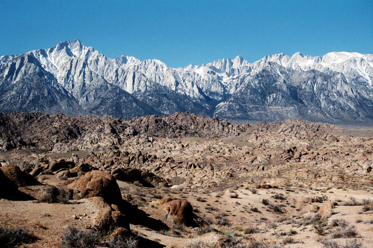
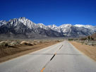
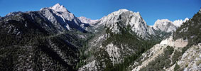
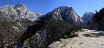
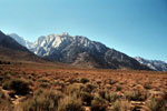
Lone Pine Peak and Mount Whitney
from Whitney Portal Road |
|
|
|
|
|
|
|
|
|
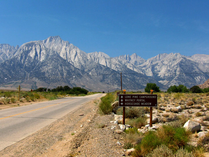
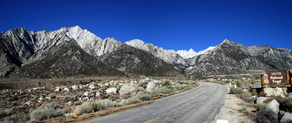
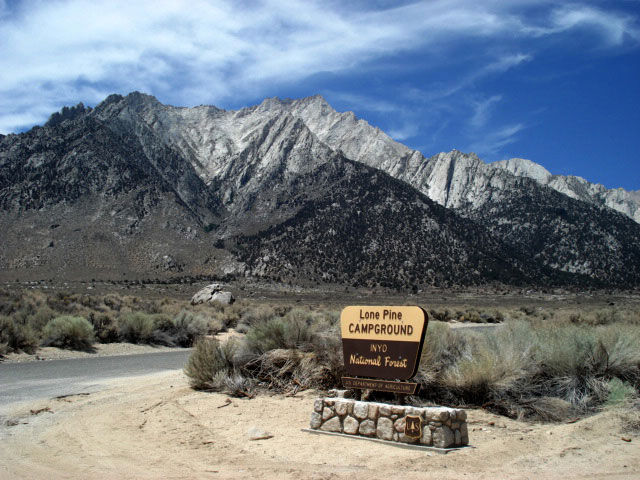
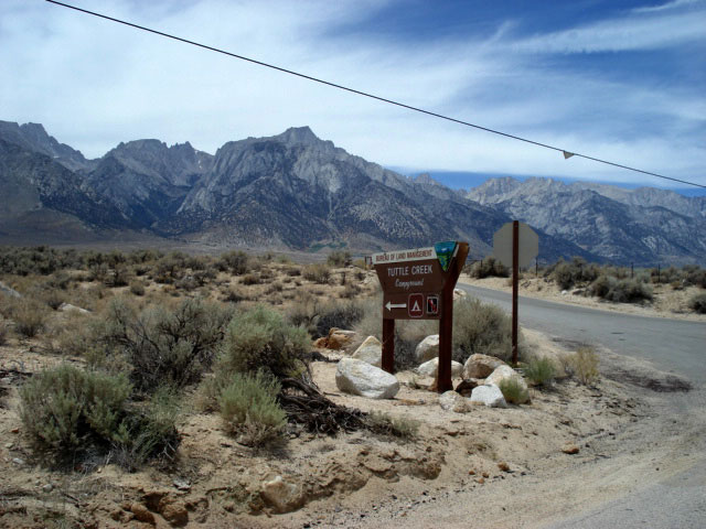
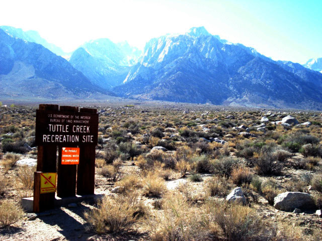
| Whitney Portal Road [Cont'd] |
|
 |
|
 |
|
|
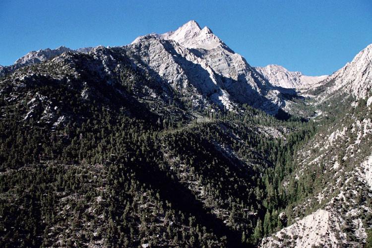
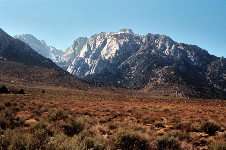
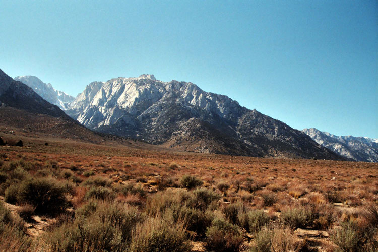
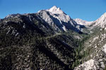
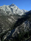
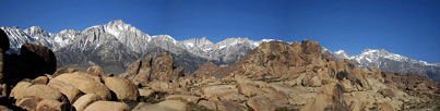
Lone Pine Peak, Peak 3681m, Thor Peak
and Mount Whitney from Whitney Portal Road |
|
|
 |
|
 |
|
|
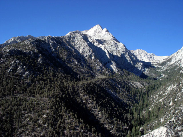
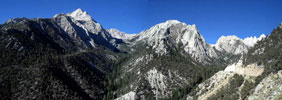
Lone Pine Peak, Peak 3681m, Thor Peak
and Whitney Portal Road |
|
|
 |
|
 |
|
|
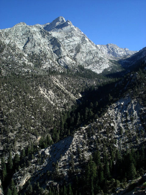
Lone Pine Peak, Peak 3681m, Thor Peak
and Whitney Portal Road |
|
|
|
|
|
|
|
 |
|
 |
|
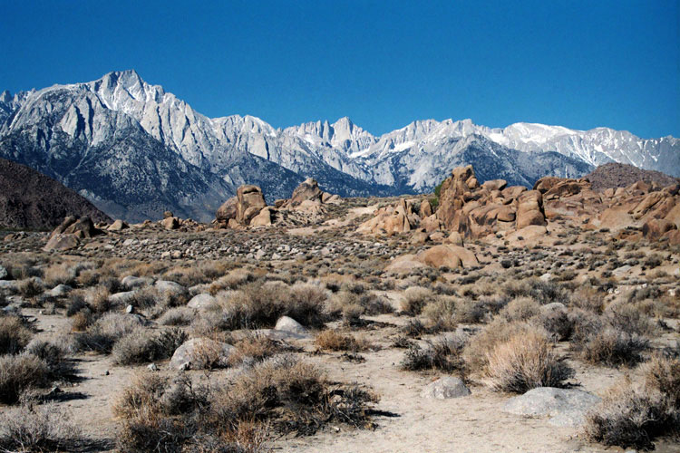
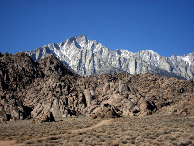
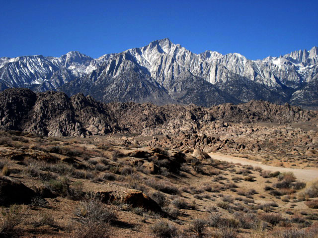
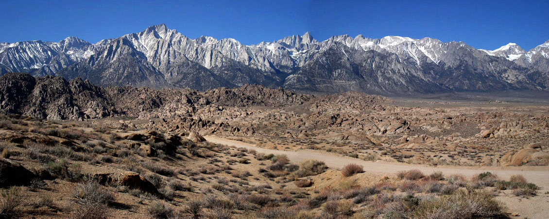
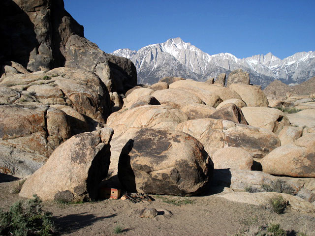
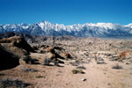
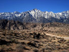
| Lone Pine Peak and Mount Whitney from Alabama Hills |
|
|
 |
|
 |
|
|
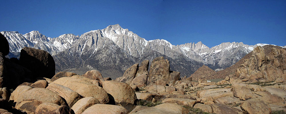
Lone Pine Peak and Mount Whitney
from Alabama Hills |
|
|
 |
|
|
|
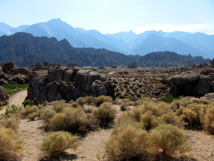
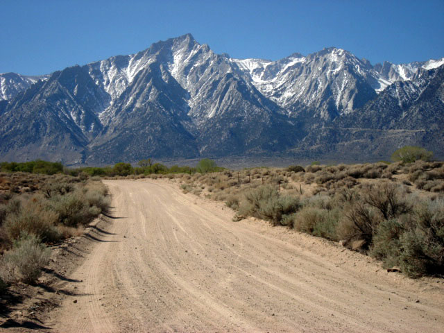
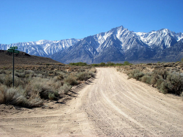
Lone Pine Peak
from Movie Road |
|
|
|
|
|
|
|
|
 |
|
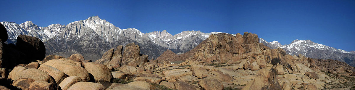
Lone Pine Peak and Mount Whitney
from Alabama Hills |
|
|
 |
|
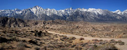
Lone Pine Peak, Mount Whitney and Mount Williamson
from Alabama Hills |
|
|
|
|
|
|
|
 |
|
 |
|
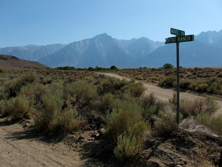
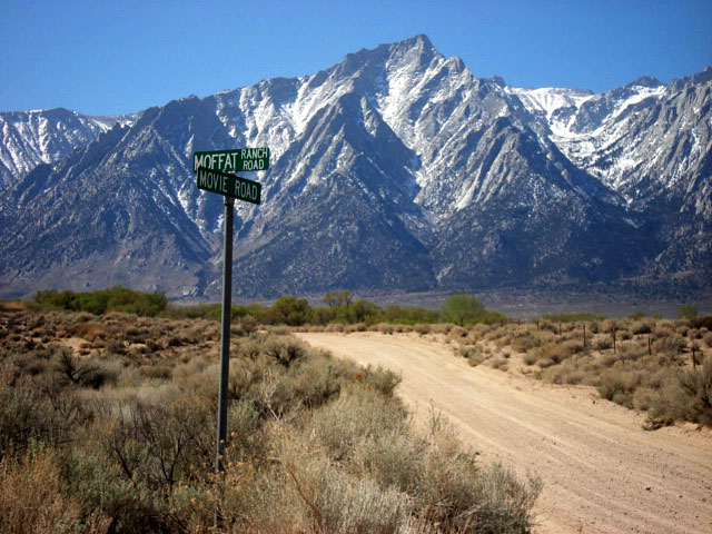
Lone Pine Peak from Movie Road
(Moffat Ranch Road junction) |
|
|
|
|
|
|
|
|
|
|
|
|
|
|
| Highway 395 (U.S. Route 395) |
|
 |
|
 |
|
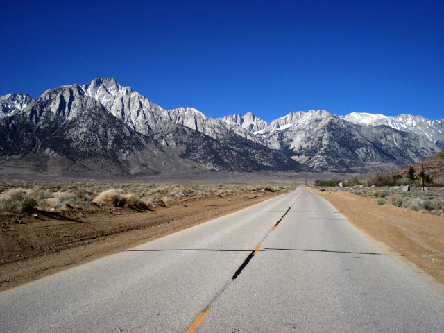
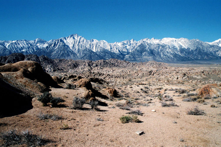
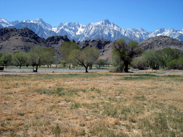
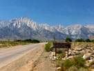
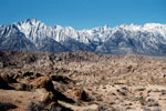
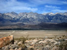
| Lone Pine Peak from Highway 395, south of Lone Pine |
|
|
|
|
|
|
|
 |
|
 |
|
|
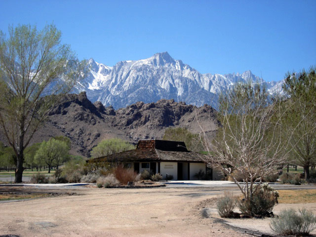
Lone Pine Peak
and Old Visitor Center |
|
|
|
|
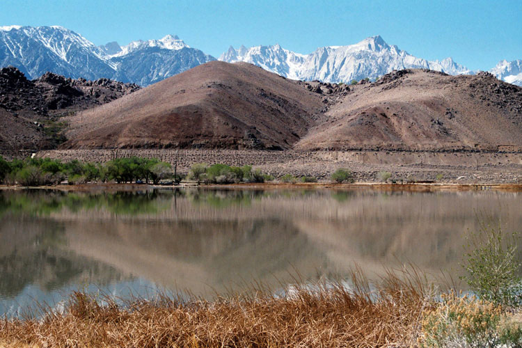
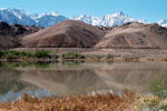
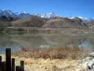
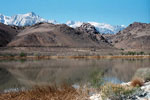
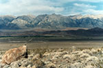
| Diaz Lake |
|
 |
|
 |
|
 |
|
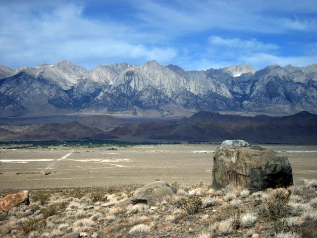
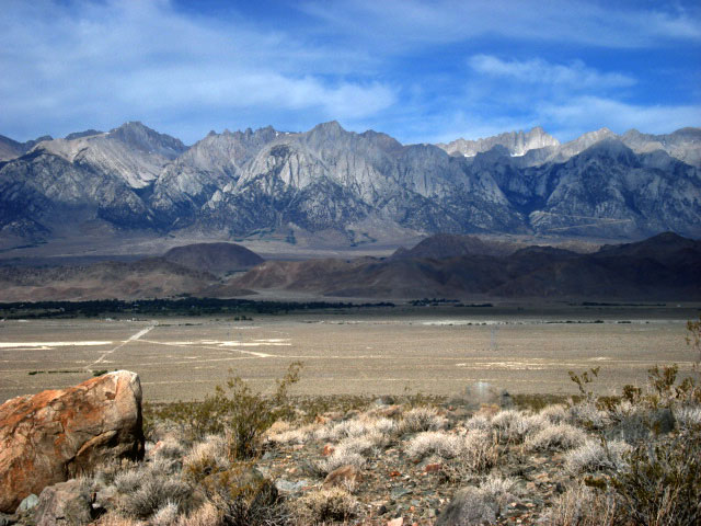
| Mt. Langley, Mt. Corcoran, Lone Pine Peak, Mt. Whitney and Mt. Russell from Diaz Lake |
|
|
|
|
|
|
|
 |
|
 |
|
 |
|
Mount Langley, Lone Pine Peak and Mount Whitney
from above Lone Pine Narrow Gauge Road |
|
|
|
|
| ローン・パイン・ピーク (Lone Pine Peak) の写真 ON WEB |
|
| 写真 |
|
|
| Photo Galleries |
 |
|
|
|
|
 |
|
| Photos |
 |
 |
 |
 |
|
 |
 |
 |
 |
 |
 |
|
|
|