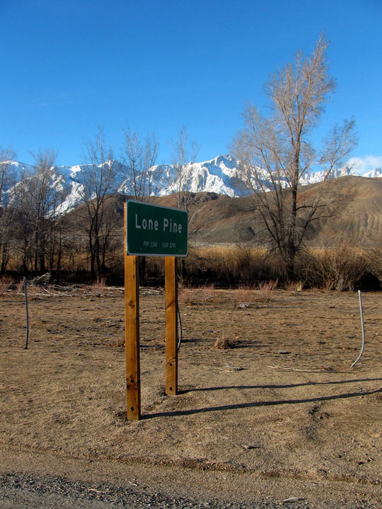
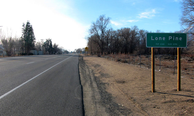
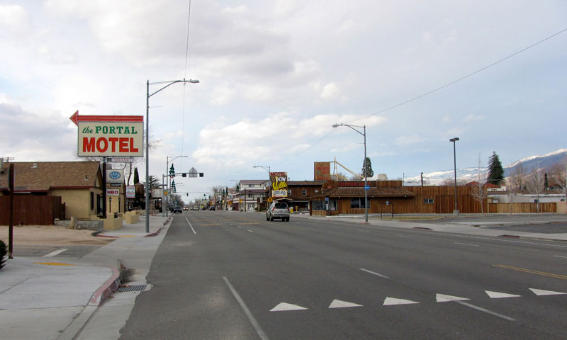
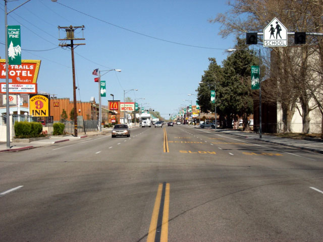
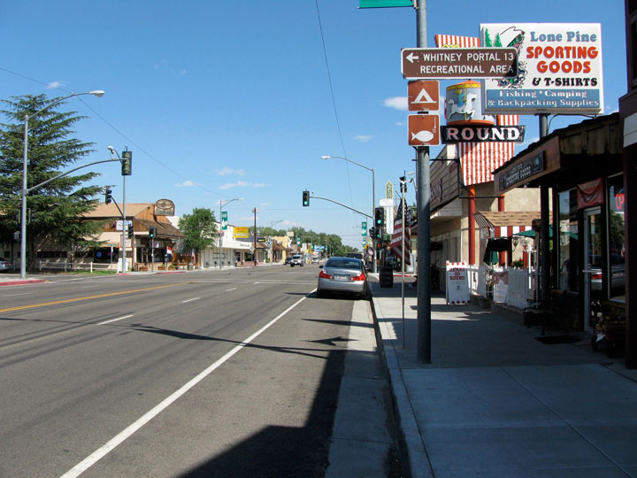
| ローン・パイン |
 |
| (Lone Pine) |
|
|
|
|
|
|
|
|
|
|
|
|
|
|
|
|
|
|
|
|
|
|
|
|
|
 |
|
 |
|
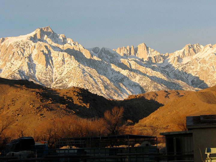
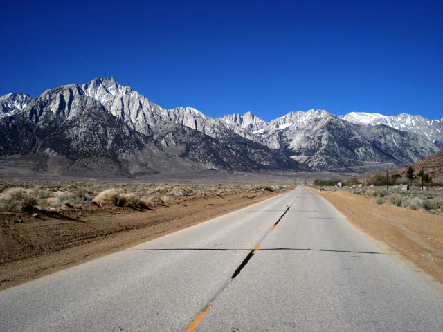
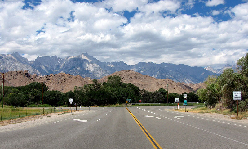
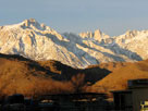
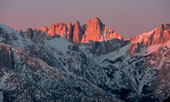
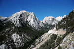
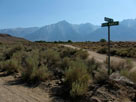
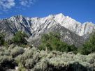
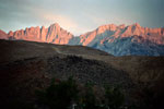
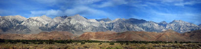
Lone Pine Peak and Mount Whitney from
Chevron Gas Station off U.S. 395, Lone Pine |
|
|
|
|
|
|
|
 |
|
 |
|
|
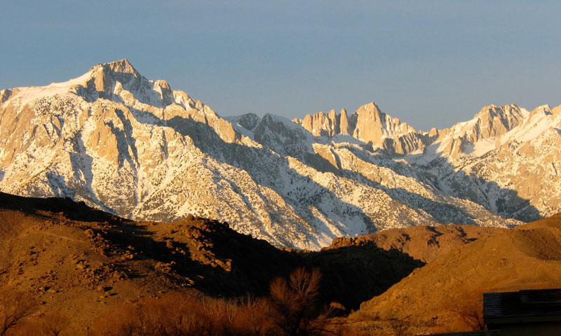
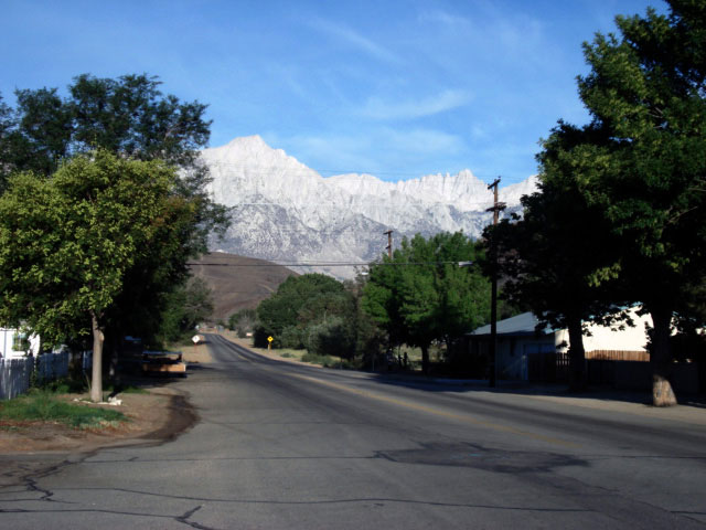
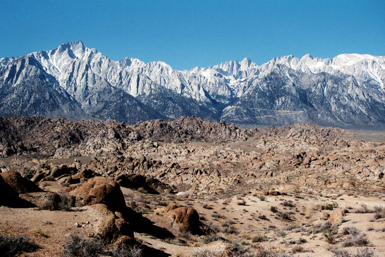
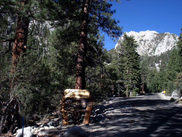
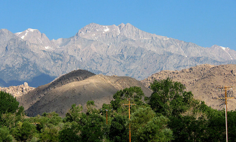
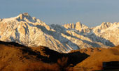
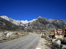
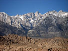
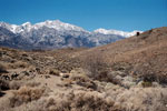
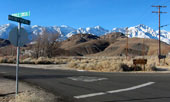
Mt. Langley, Lone Pine Peak
and Whitney Portal Road
from U.S. 395 |
|
|
|
|
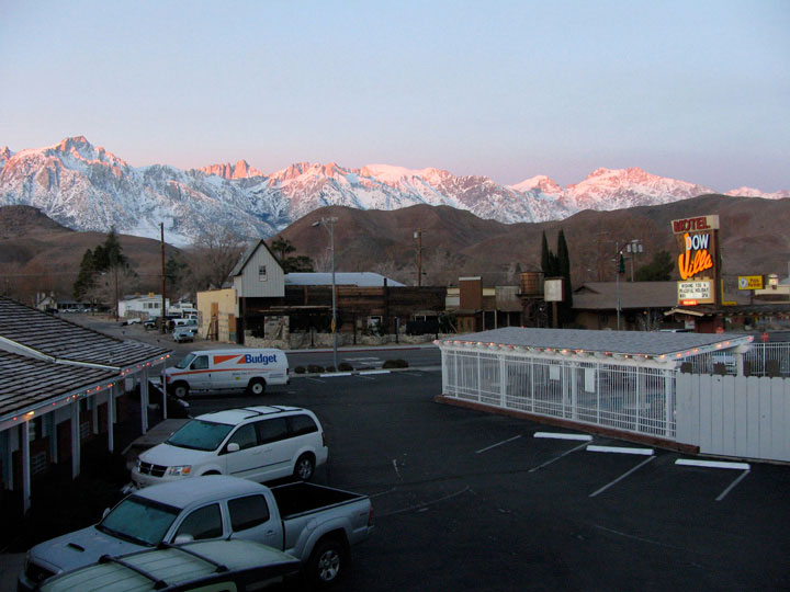
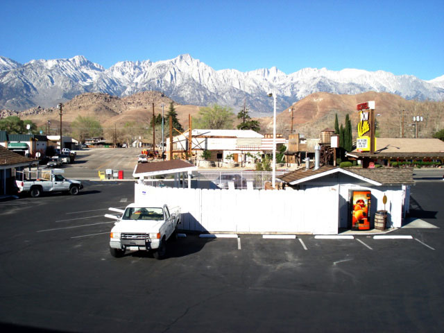
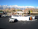
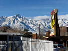
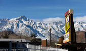
| Dow Villa Motel |
|
 |
|
 |
|
 |
|
|
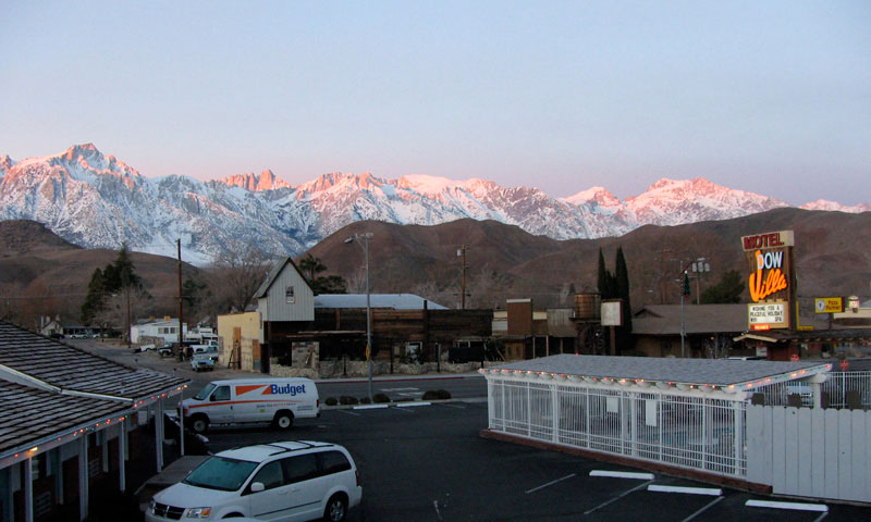
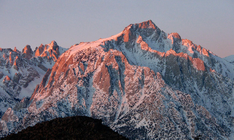
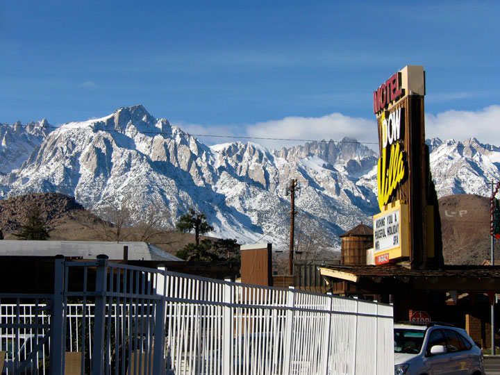
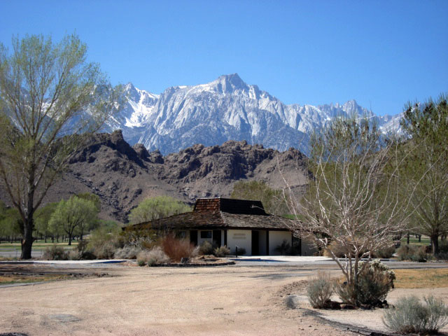
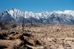
Mount Langley, Lone Pine Peak and Mount Whitney
from Dow Villa Motel, Lone Pine |
|
|
 |
|
 |
|
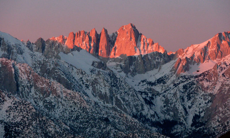
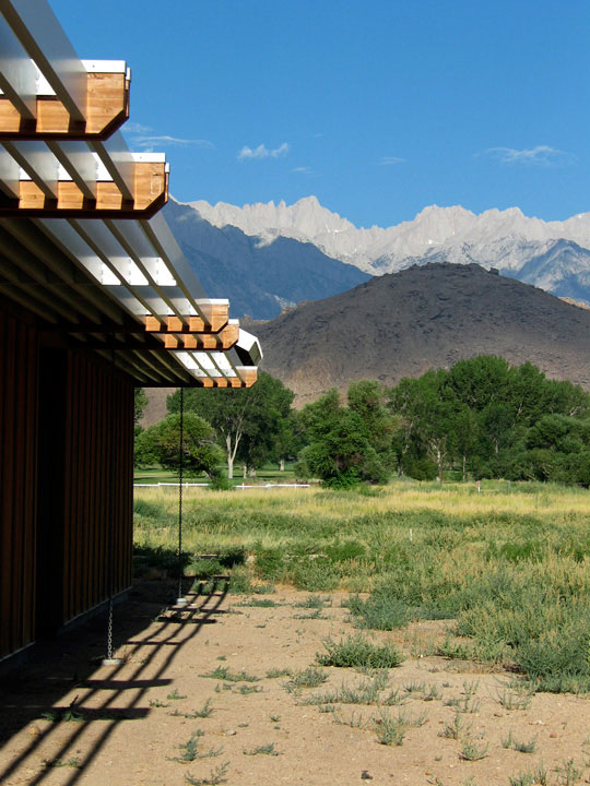
Mount Whitney
from Dow Villa Motel |
|
Lone Pine Peak
from Dow Villa Motel |
|
|
 |
|
 |
|
|
Lone Pine Peak and Mount
Whitney from Dow Villa Motel |
|
|
|
|
|
|
|
|
|
|
|
|
 |
|
 |
|
 |
|
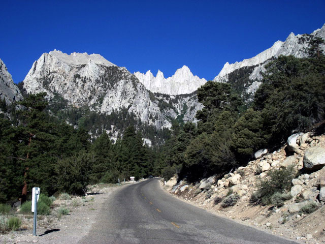
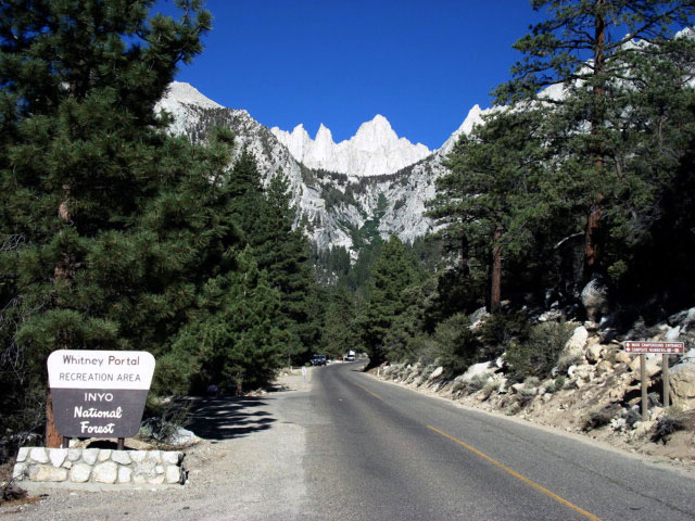
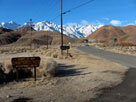
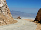
Mount Whitney and
Whitney Portal Road
into Inyo National Forest |
|
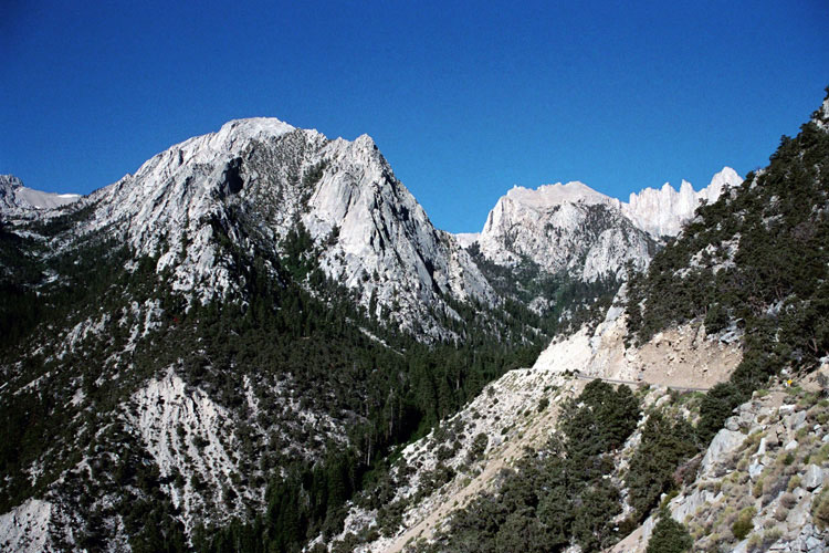
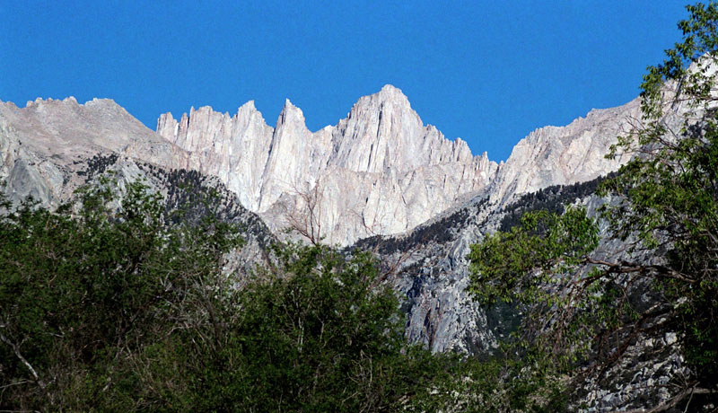
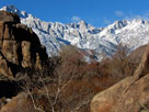
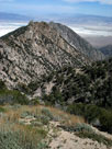
Peak 3681m, Thor Peak,
Needles, Mt. Whitney and
Whitney Portal Road |
|
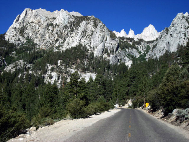
Mount Whitney and
Whitney Portal Road
into Whitney Portal |
|
|
|
|
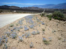
| Movie Road (Movie Flat Road) |
|
 |
|
|
 |
|
 |
|
 |
|
|
|
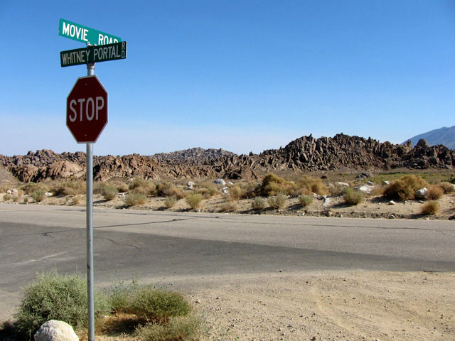
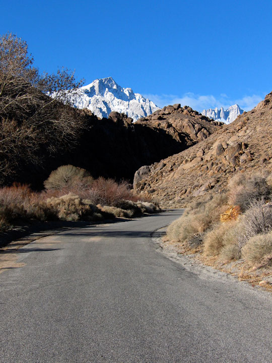
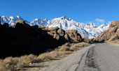
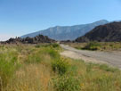
Movie Road and
Whitney Portal Road |
|
Mount Whitney
from Movie Road |
|
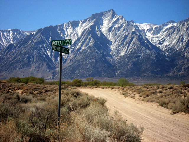
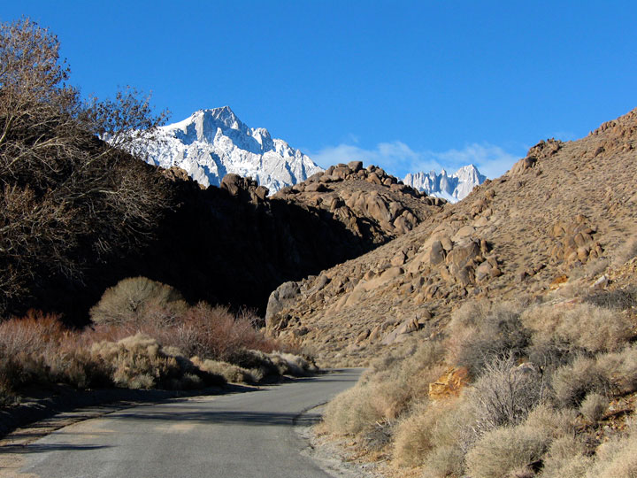
Lone Pine Peak
and Movie Road from
Moffat Ranch Road |
|
|
|
|
|
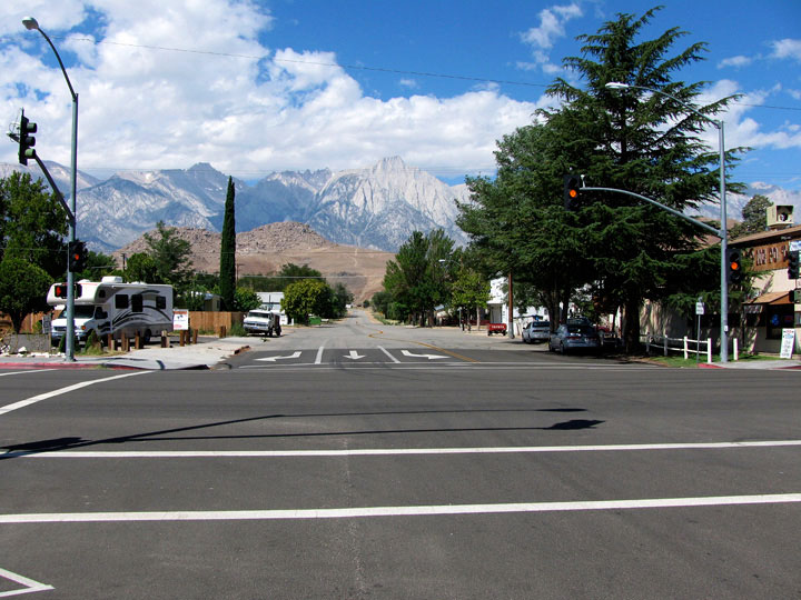
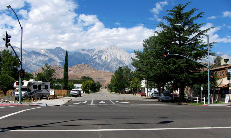
| Moffat Ranch Road |
|
|
|
|
 |
|
 |
|
 |
|
|
|
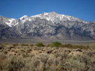
Mount Williamson from
Moffat Ranch Road |
|
Lone Pine Peak
and Movie Road from
Moffat Ranch Road |
|
Mount Williamson from
Moffat Ranch Roadend |
|
|
|
|
|
|
|
|
 |
|
 |
|
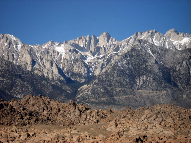
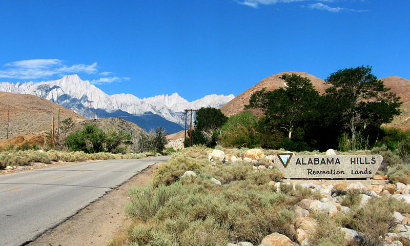
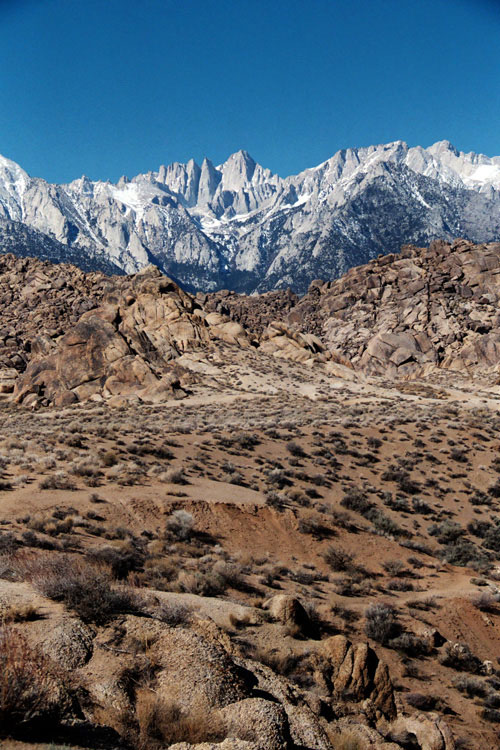
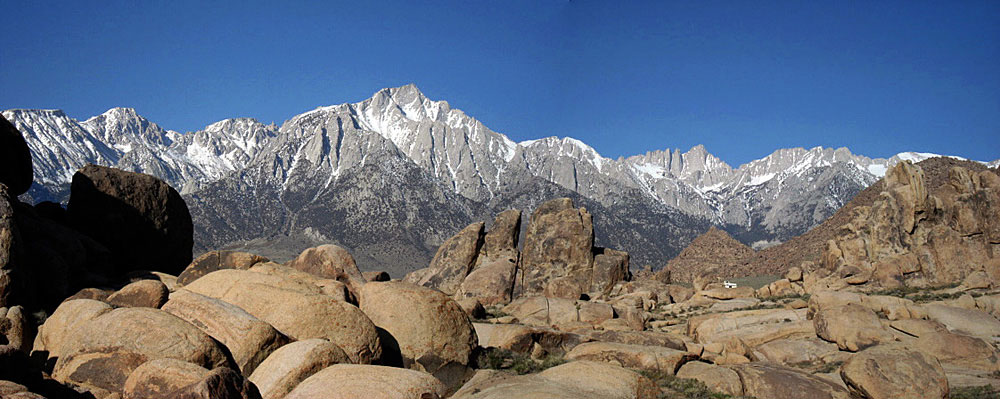
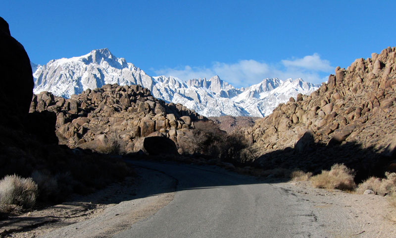
Mount Langley, Lone Pine Peak and
Mount Whitney from Alabama Hills |
|
Lone Pine Peak and
Mount Whitney from
Alabama Hills (Movie Road) |
|
|
|
|
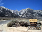
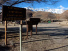
| Lone Pine Campground |
|
 |
|
 |
|
|
 |
|
 |
|
 |
|
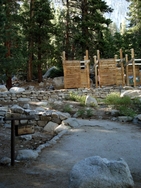
Mount Whitney from
Lone Pine Campground
entrance |
|
Lone Pine Peak from
Lone Pine Campground |
|
Mount Whitney from
Lone Pine Campground |
|
|
|
|
|
|
|
|
|
|
|
|
|
|
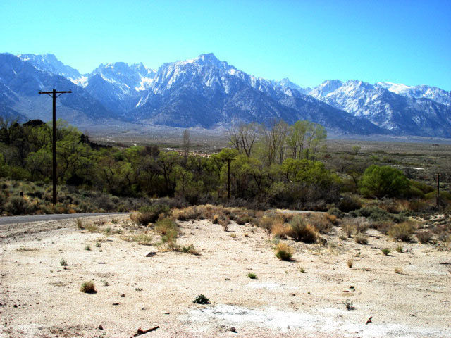
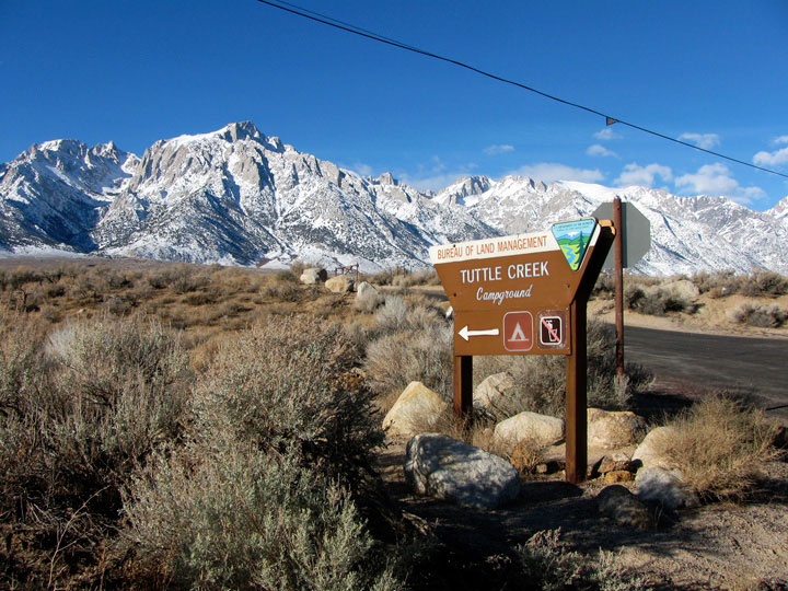
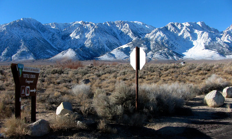
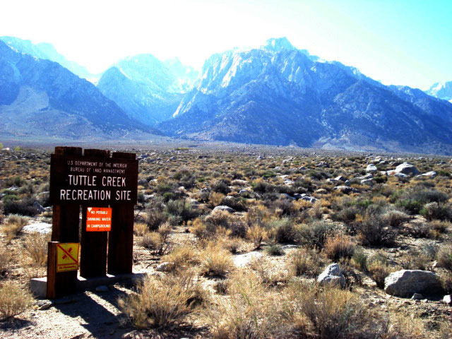
| Tuttle Creek Road |
|
|
|
|
 |
|
 |
|
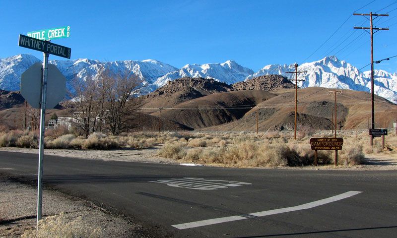
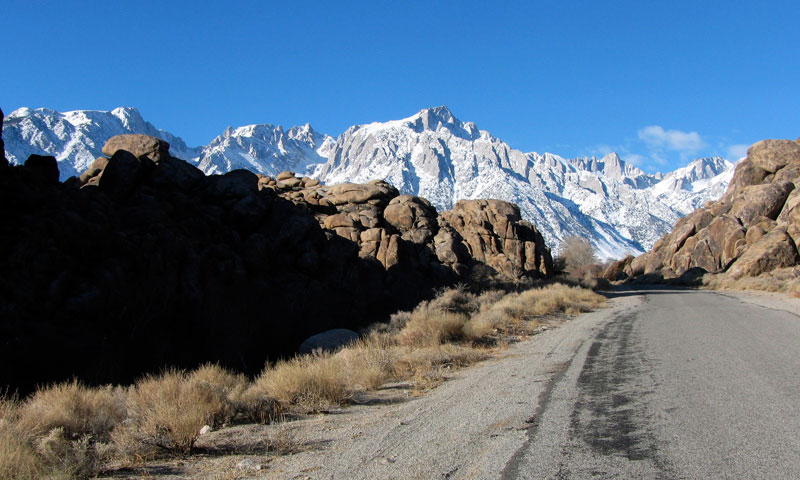
Mount Langley, Lone Pine Peak
and Tuttle Creek Road
from Whitney Portal Road |
|
Lone Pine Peak,
Mount Whitney and
Whitney Portal Road
from Tuttle Creek Road |
|
|
|
|
| Portagee Joe Campground |
|
 |
 |
|
|
 |
|
 |
|
 |
|
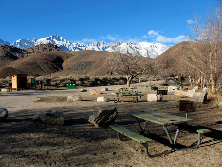
Portagee Joe Campground
off Tuttle Creek Road |
|
Lone Pine Peak and
Mount Whitney from
Portagee Joe Campground |
|
Mount Whitney and
Mount Russell from
Portagee Joe Campground |
|
|
|
|
|
|
|
 |
|
 |
|
Lone Pine Peak and
Mount Whitney and Tuttle
Creek Road along Tuttle Creek |
|
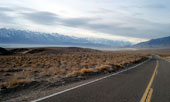
Mount Whitney from
Tuttle Creek Road |
|
|
|
|
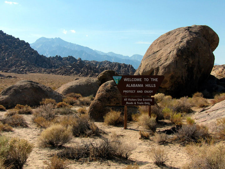
| Alabama Hills |
|
|
|
|
 |
|
|
|
Lone Pine Peak from
Tuttle Creek Road near
Alabama Hills (village) |
|
|
|
|
|
|
|
|
|
|
|
|
|
|
|
|
|
|
|
|
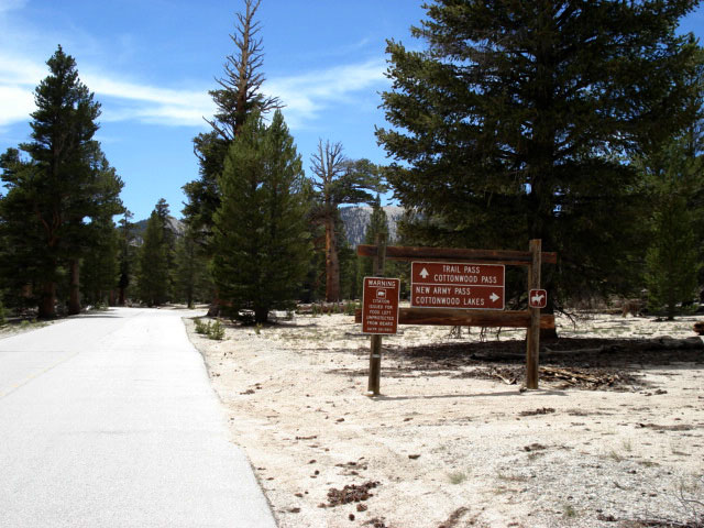
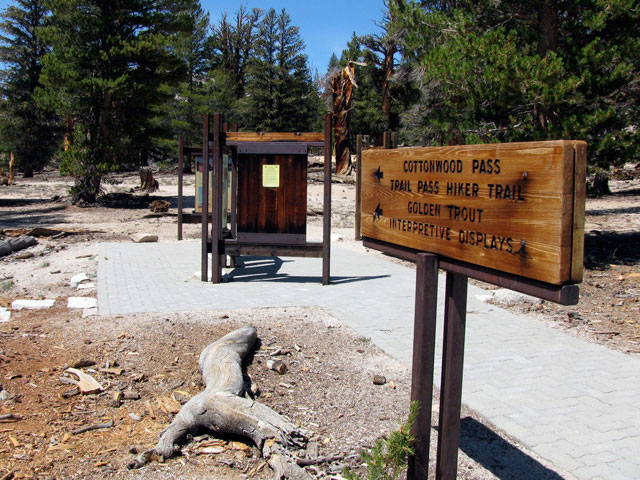
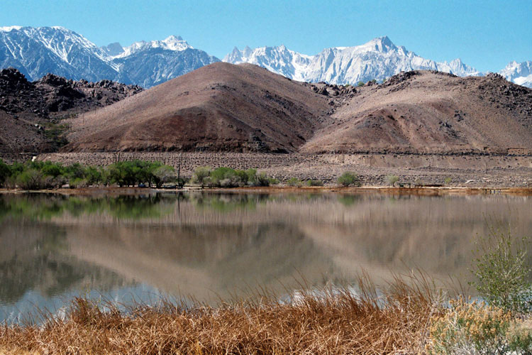
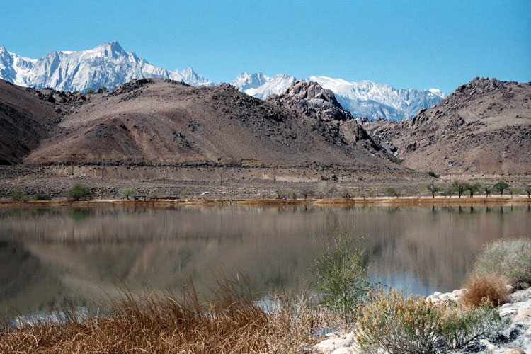
| Horseshoe Meadows Road |
|
|
|
|
 |
|
 |
|
 |
|
|
|
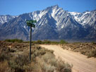
Horseshoe Meadows Road
from Whitney Portal Road |
|
Alabama Hills and
Horseshoe Meadows Road |
|
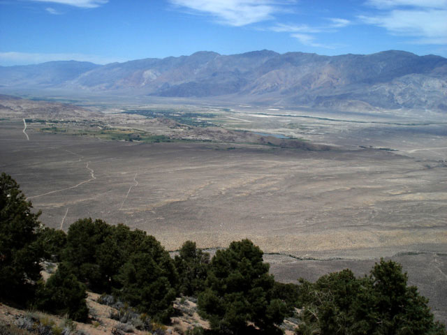
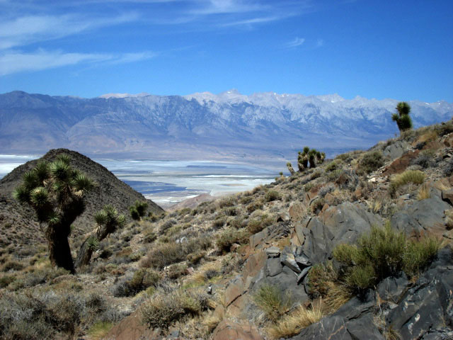
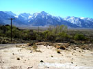
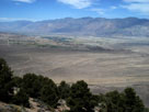
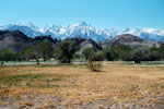
Inyo Mountains, Owens
Valley and Lone Pine
from
Horseshoe Meadows Road |
|
|
|
|
|
| Walt's Point |
|
 |
|
 |
|
 |
|
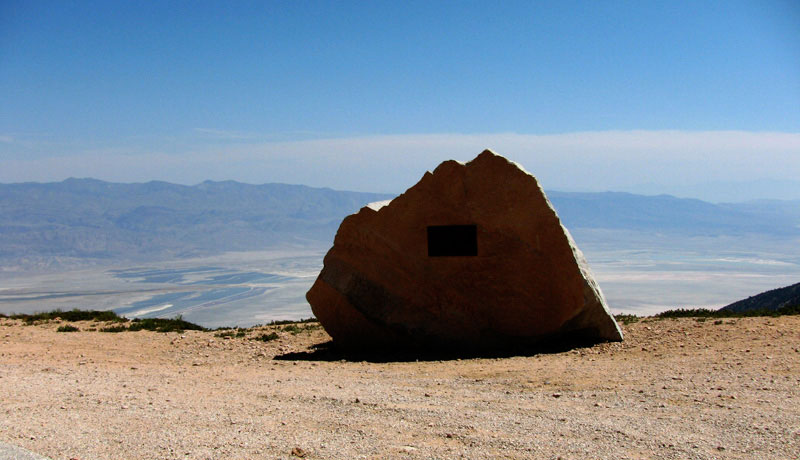
| Owens Valley and Walt's Point |
|
Walt's Point and
Horseshoe Meadows Road |
|
|
|
|
|
|
|
|
|
|
|
|
 |
|
 |
|
 |
|
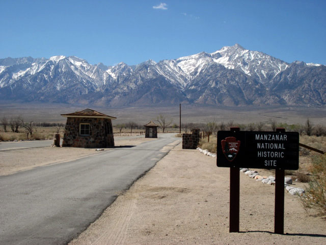
Lone Pine Peak
and old Visitor Center |
|
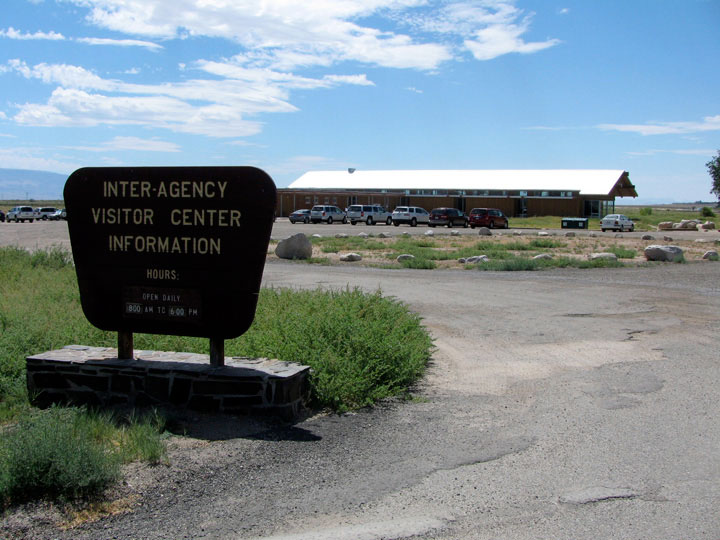
Eastern Sierra Interagency
Visitor Center
from Highway 136 |
|
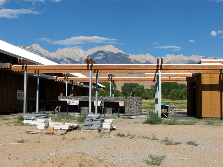
Mount Williamson from
Eastern Sierra Interagency
Visitor Center |
|
|
|
|
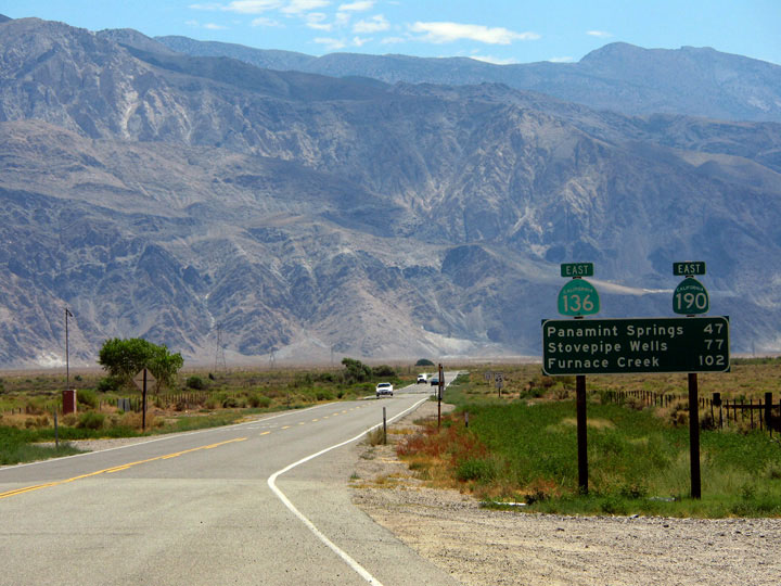
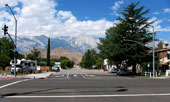
| Highway 136 (California State Route 136) |
|
 |
|
 |
|
|
 |
|
 |
|
|
|
|
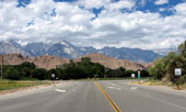
Lone Pine Peak, Mt. Whitney
and Highway 395 from
Highway 136 (west) |
|
Inyo Mountains and
Highway 136 (east) |
|
|
|
|
|
|
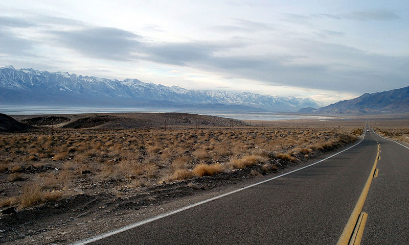
| Highway 190 (California State Route 190) |
|
|
|
|
|
|
 |
|
|
|
|
|
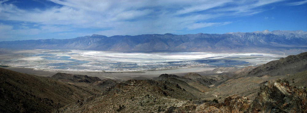
Sierra Nevada Mountains,
Owens Lake and Highway 190 |
|
|
|
|
|
|
|
|
|
|
|
|
|
|
|
|
|
|
|
|
|
|
|
|
|
|
| Long John Canyon Road |
|
 |
|
|
 |
|
|
|
Mount Langley, Lone Pine Peak, Mount Whitney and Mount Williamson
from Long John Canyon Road |
|
|
|
|
|
|
|
|
|
|
| ローン・パイン (Lone Pine) の写真 ON WEB |
|
| 写真 |
|
|
| Photo Galleries |
 |
|
 |
|
| Photos |
|
 |
 |
 |
|
 |
 |
 |
 |
 |
 |
|
|
|