| Mule Pass & Matterhorn Peak (Day 3) |
 |
|
|
|
|
|
|
|
|
 |
|
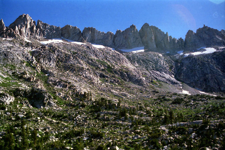
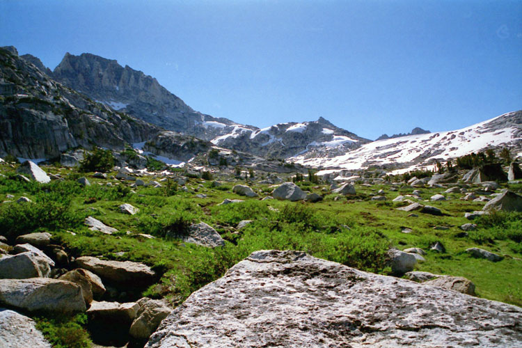
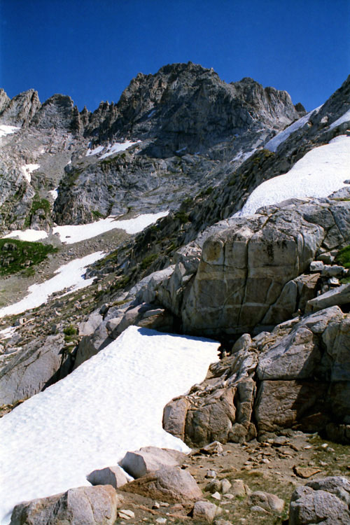
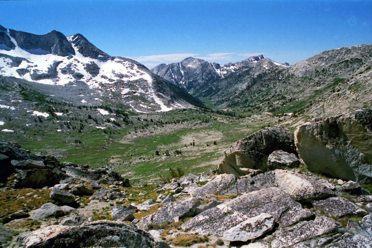
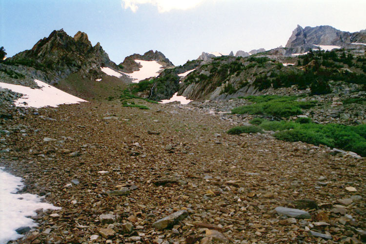
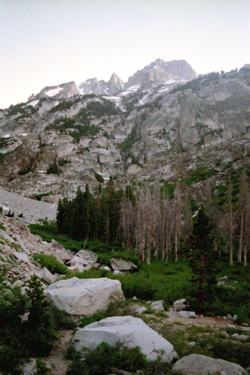
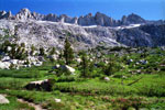
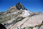
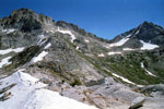
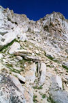
Sawtooth Ridge (Cleaver Peak, The Three Teeth
and The Doodad) and Matterhorn Peak
from near campsite |
|
|
|
|
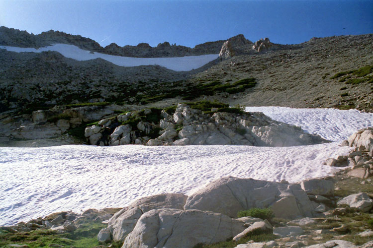
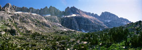
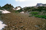
| Burro Pass Trail |
|
 |
|
 |
|
 |
|
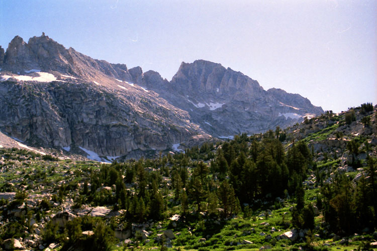
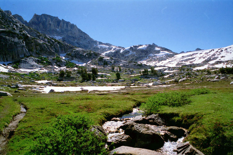
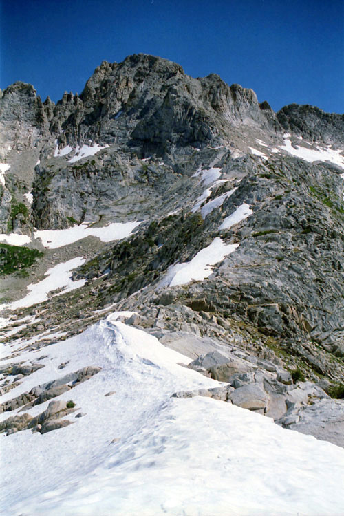
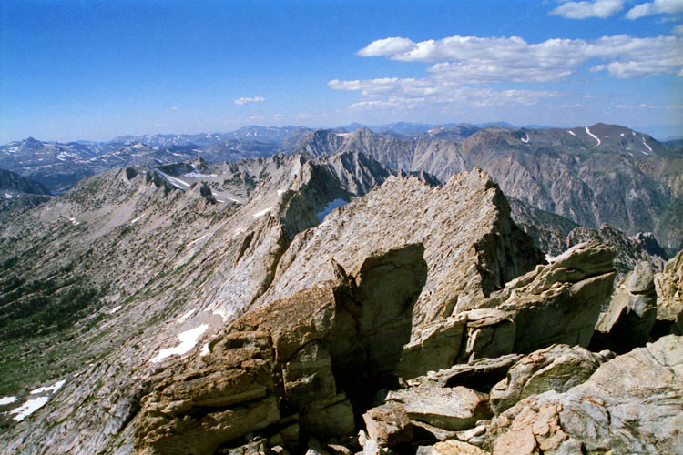
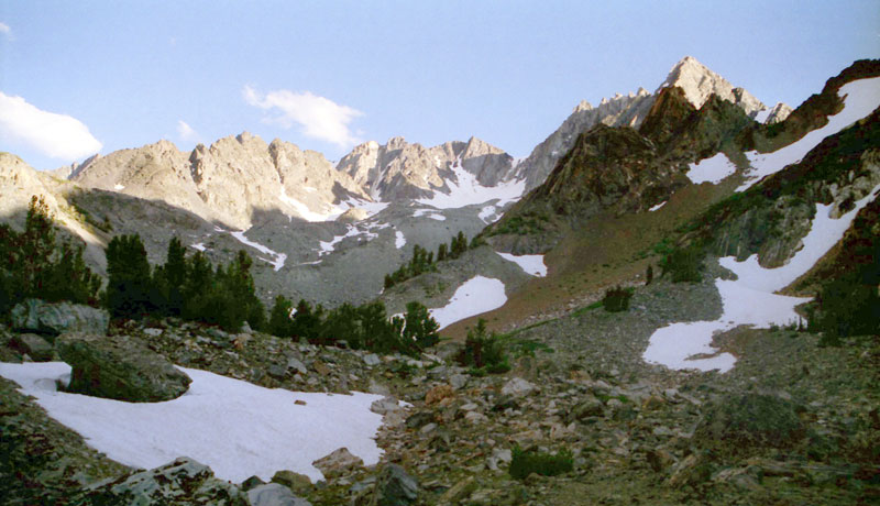
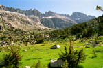
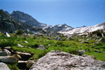
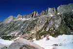
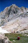
Sawtooth Ridge
and Matterhorn Peak
from Burro Pass Trail |
|
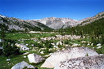
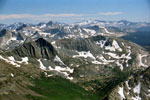
Slide Mountain
and Upper Piute Creek |
|
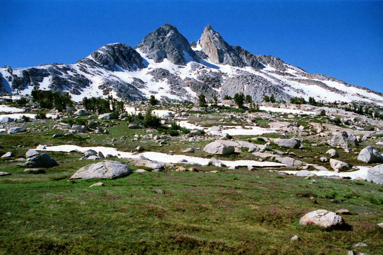
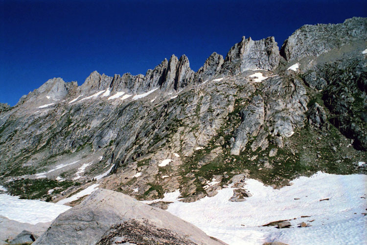
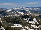
Sawtooth Ridge
(Cleaver Peak, The Three
Teeth and The Doodad) |
|
|
 |
|
 |
|
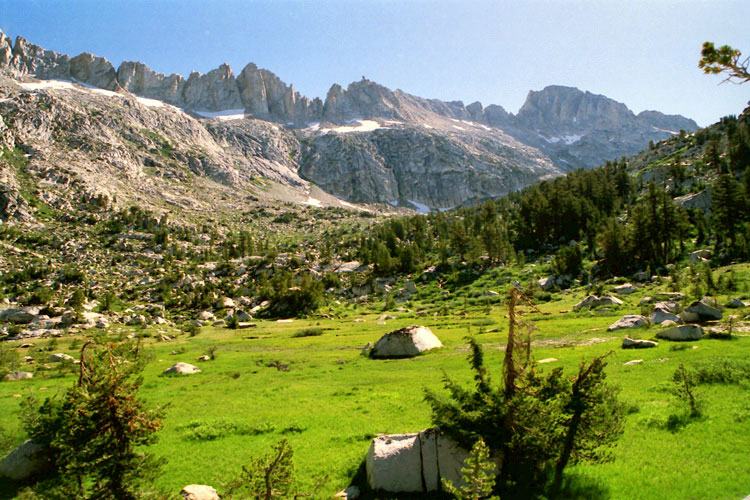
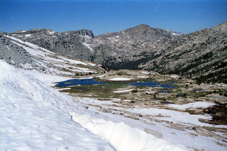
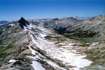
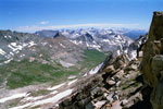
Matterhorn Peak, Burro Pass and Upper Piute Creek
from Burro Pass Trail |
|
|
 |
|
 |
|
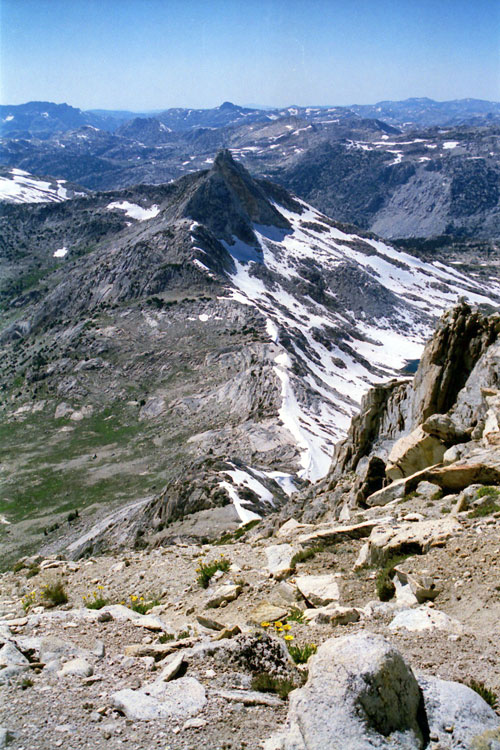
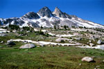
Finger Peaks
from Burro Pass Trail |
|
Matterhorn Peak
and head of
Piute Creek |
|
|
 |
|
 |
|
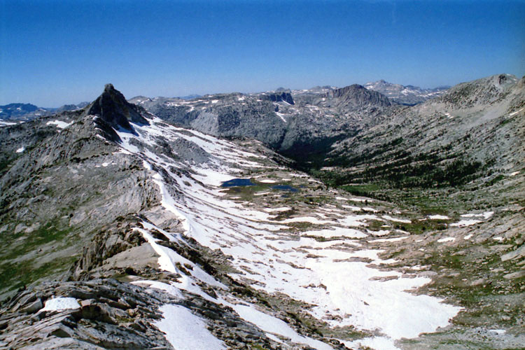
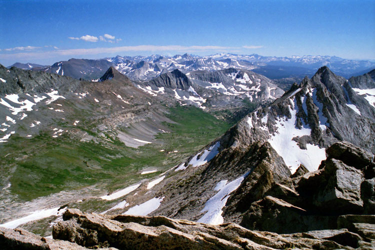
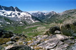
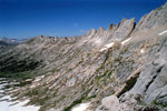
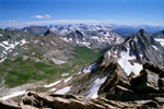
Finger Peaks, Slide Mountain,
Crown Point and unnamed
lakes (Upper Piute Creek)
from Burro Pass Trail |
|
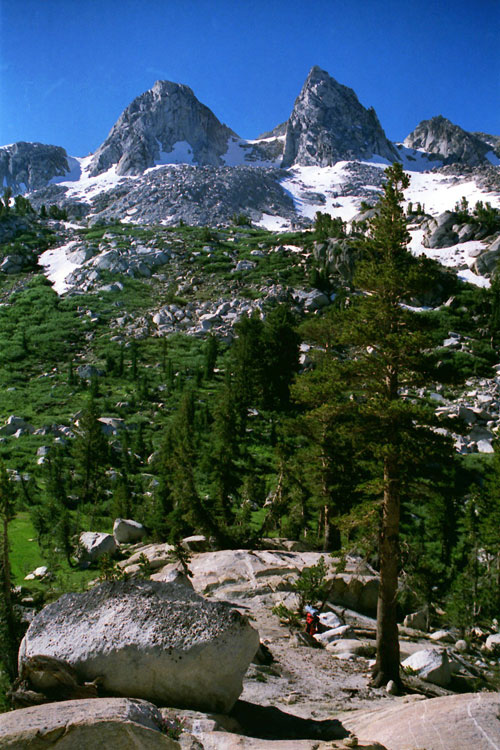
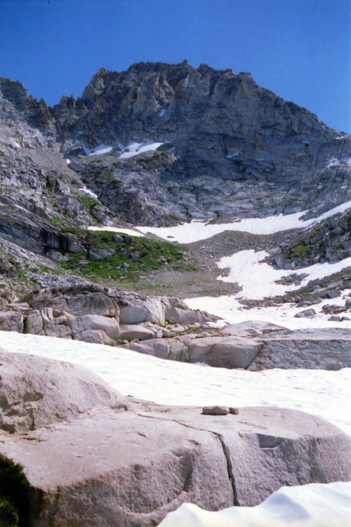
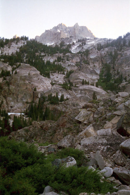
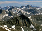
Matterhorn Peak |
|
|
|
|
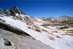
| Burro Pass |
|
 |
|
 |
|
 |
|
Finger Peaks
from Burro Pass |
|
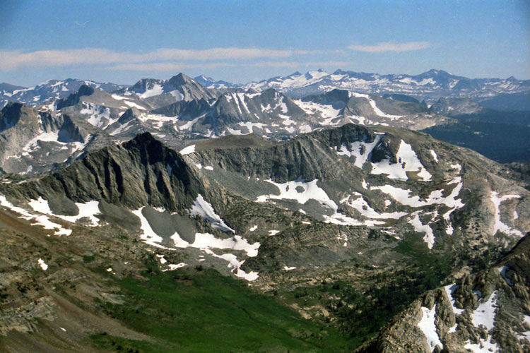
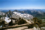
Slide Mountain, Crown Point
and unnamed lakes
(Upper Piute Creek) |
|
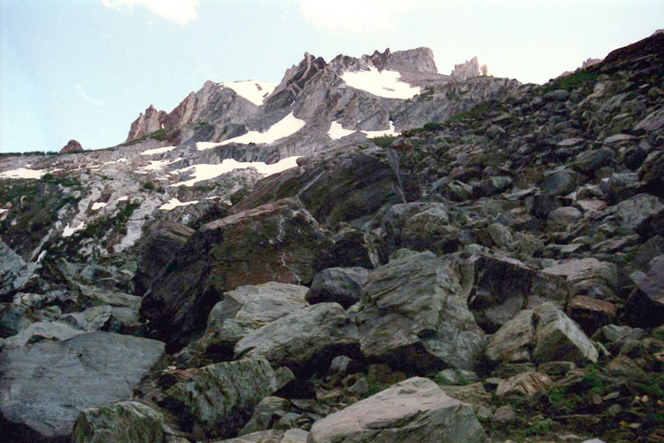
Sawtooth Ridge
(Cleaver Peak, The Three
Teeth and The Doodad) |
|
|
 |
|
 |
|
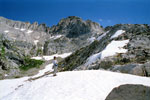
Matterhorn Peak
from Burro Pass |
|
Matterhorn Canyon |
|
|
|
|
| East Ridge of Finger Peaks |
|
 |
|
 |
|
Matterhorn Peak, Whorl Mountain and Burro Pass
from east ridge of Finger Peaks |
|
|
|
|
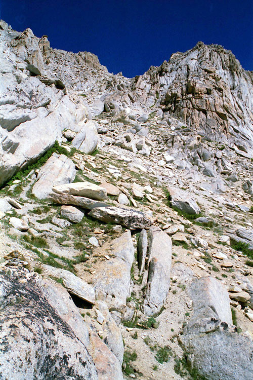
| Southwest Slope of Matterhorn Peak |
|
 |
|
|
|
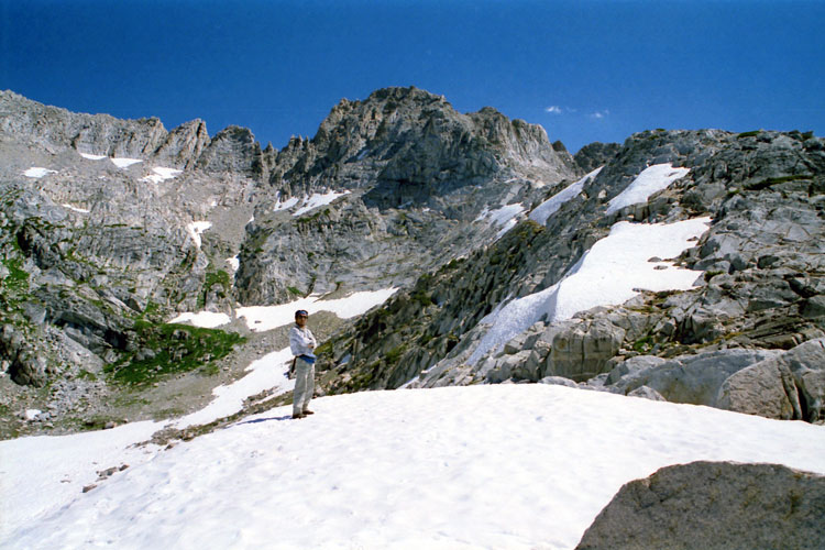
Matterhorn Peak
(southwest slope)
from Burro Pass |
|
|
|
 |
|
 |
|
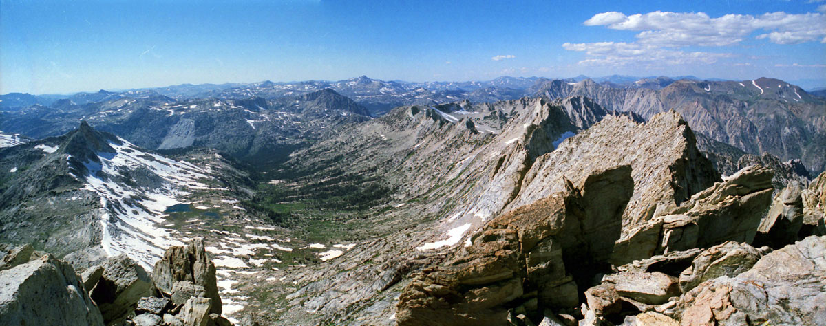
| Finger Peaks, Crown Point and Sawtooth Ridge |
|
|
 |
|
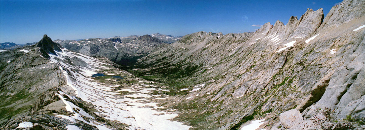
Finger Peaks, Crown Point,
Sawtooth Ridge and Upper Piute Creek
from southwest slope of Matterhorn Peak |
|
|
 |
|
 |
|
 |
|
Southwest slope of
Matterhorn Peak |
|
Virginia Peak, Stanton Peak
and Spiller Creek |
|
Finger Peaks |
|
|
|
|
|
|
|
 |
|
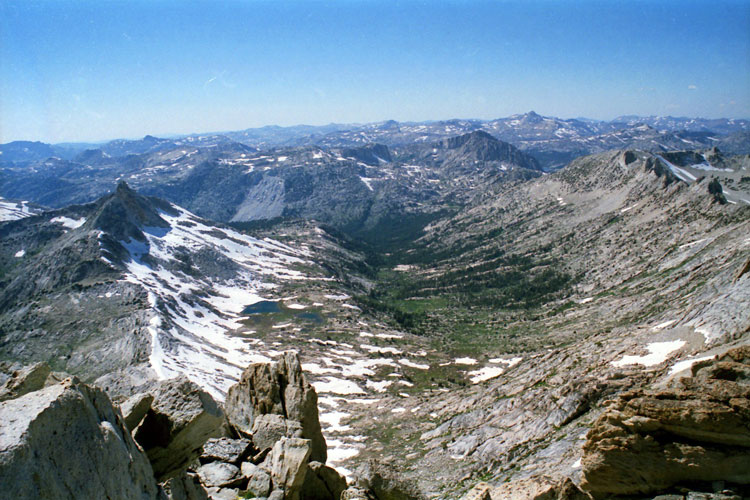
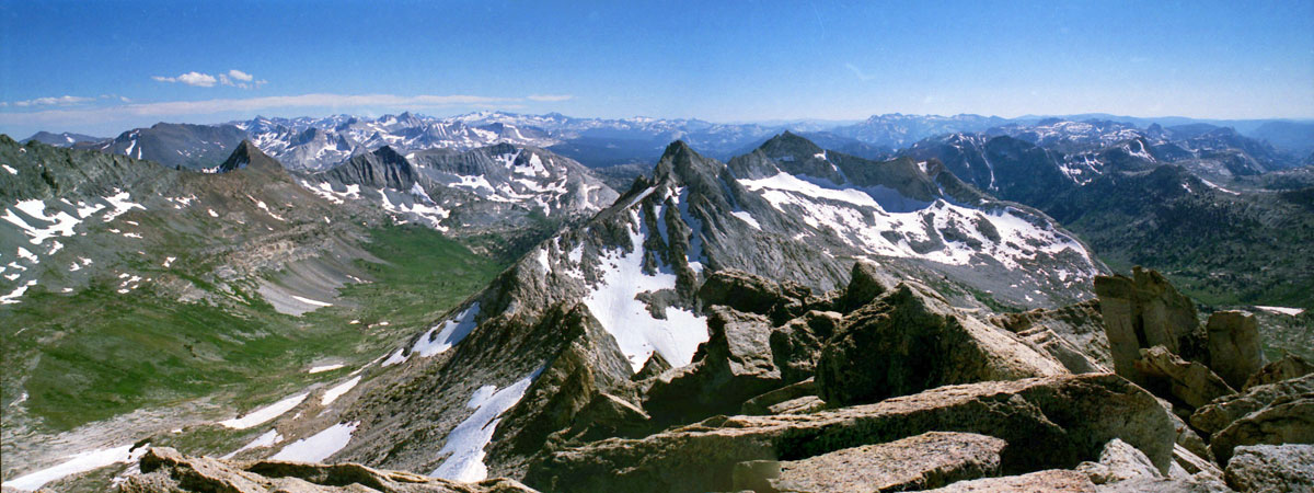
Finger Peaks, Crown Point,
Sawtooth Ridge and Upper Piute Creek
from Matterhorn Peak summit |
|
|
 |
|
 |
|
| Virginia Peak, Stanton Peak and Whorl Mountain |
|
|
 |
|
Virginia Peak, Stanton Peak, Spiller Creek and
Whorl Mountain from Matterhorn Peak summit |
|
|
 |
|
 |
|
 |
|
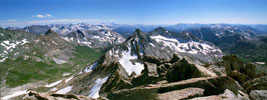
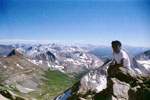
North Peak, Mount Conness,
Sheep Peak, Mount Lyell,
Stanton Peak and Grey Butte
from Matterhorn Peak summit |
|
North Peak and
Mount Conness |
|
Mount Lyell and
Lyell Glacier |
|
|
 |
|
 |
|
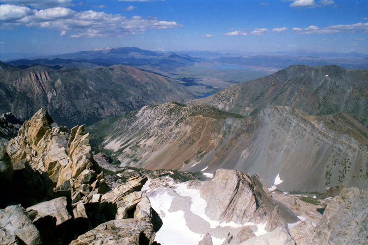
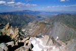
Bridgeport Valley and
Horse Creek Canyon from
Matterhorn Peak summit |
|
|
|
|
|
|
|
|
|
|
|
|
|
 |
|
 |
|
|
Twin Peaks and
Upper Horse Creek |
|
|
|
|
|
|
|
|
|
|
|
|
|
|
|
|
|
|
|