| デス・バレー国立公園 2008 (Day 3) |
 |
|
|
|
|
|
| Beatty, Nevada |
|
| No photos |
|
|
|
|
|
|
|
|
|
| Devil's Corn Field |
|
 |
|
|
|
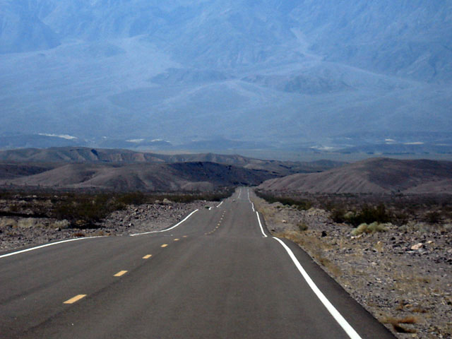
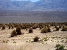
Devil's Corn Field
from Highway 190 |
|
|
|
|
|
| Stovepipe Wells Village |
|
 |
|
|
|
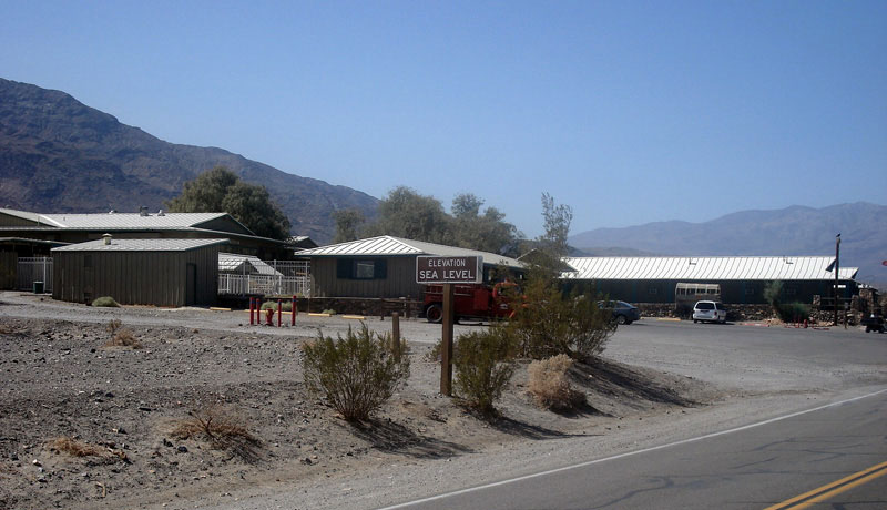
Stovepipe Wells Village
and Highway 190 |
|
|
|
|
|
| Mosaic Canyon |
|
 |
|
 |
|
 |
|
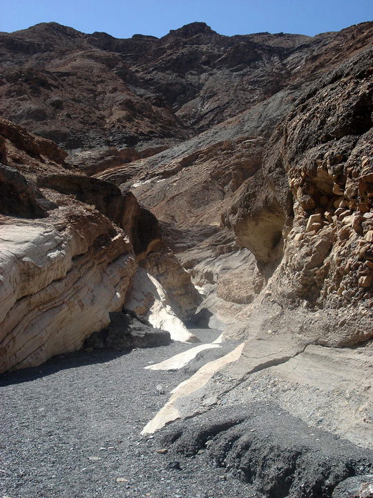
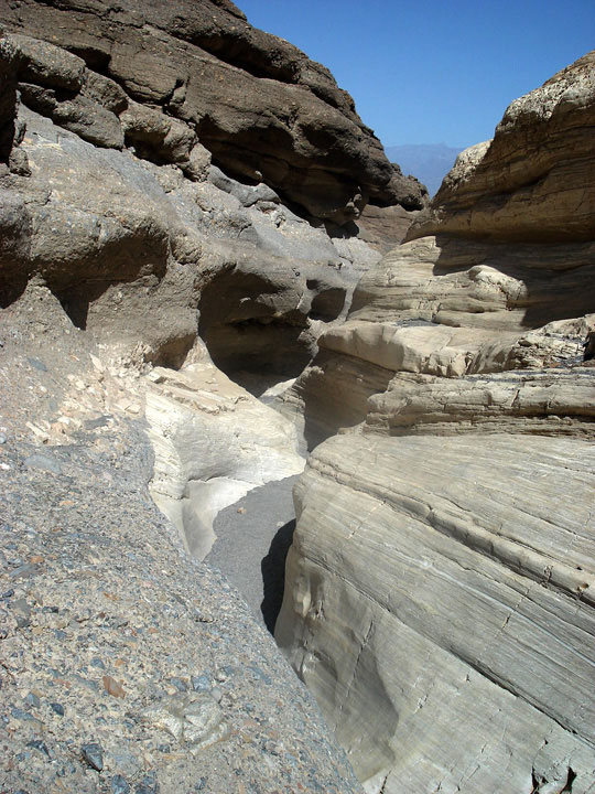
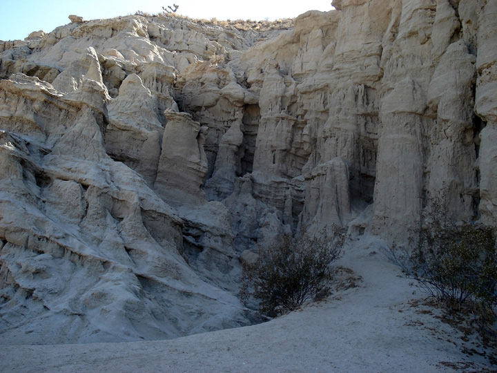
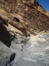
| Mosaic Canyon |
|
|
|
|
|
| Emigrant Canyon Road |
|
 |
|
|
|
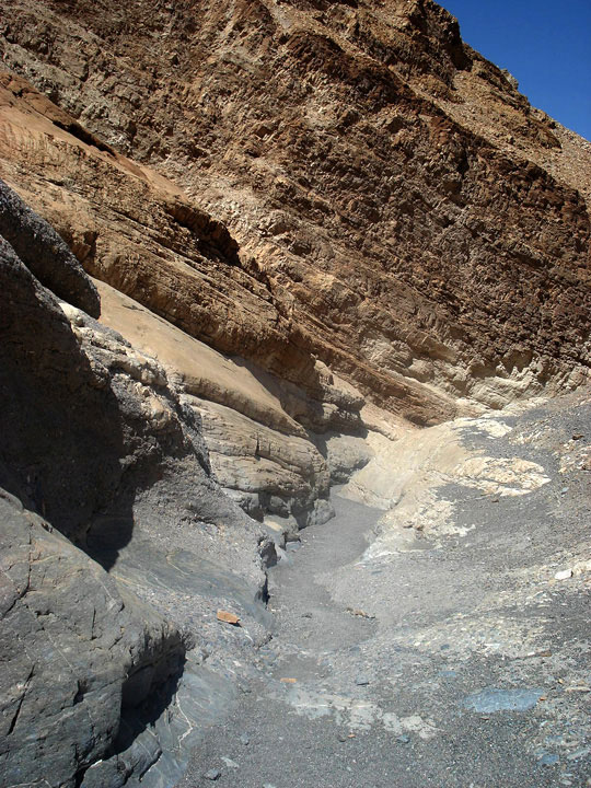
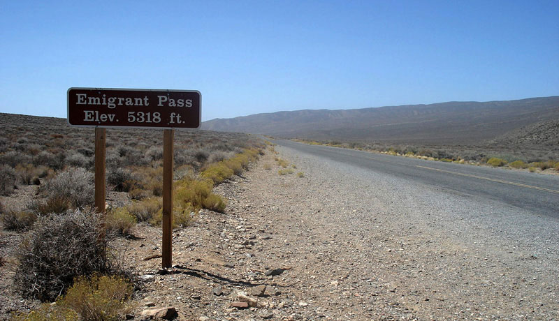
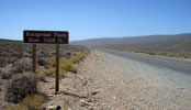
Emigrant Pass and
Emigrant Canyon Road |
|
|
|
|
|
|
|
|
|
|
|
|
|
|
|
| Highway 395 (U.S. Route 395) & Highway 14 (CA State Route 14) |
|
| No photos |
|
|
|
|
|
|
|
|
|
| Mojave - Highway 58 (CA State Route 58) |
|
| No photos |
|