| Death Valley 2008 (Day 2) |
 |
|
|
|
|
|
|
|
|
|
|
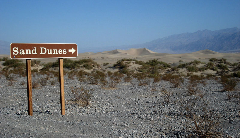
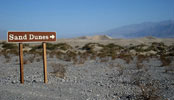
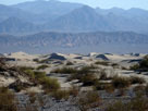
| Mesquite Flat Sand Dunes |
|
 |
|
 |
|
| Sand Dunes from Highway 190 |
|
|
|
|
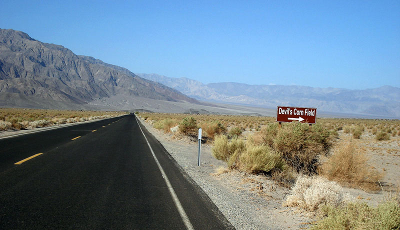
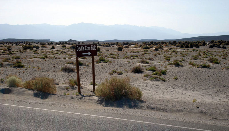
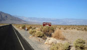
| Devil's Corn Field |
|
 |
|
 |
|
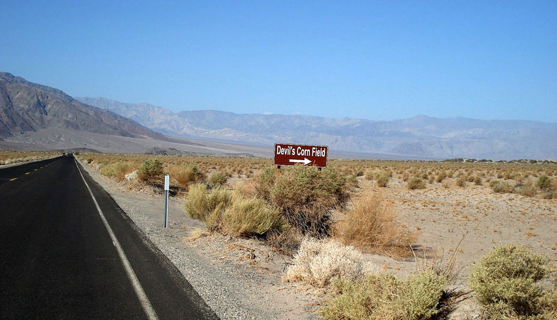
| Devil's Corn Field and Highway 190 (west) |
|
|
|
|
|
|
|
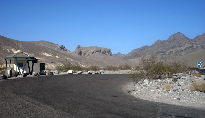
| Furnace Creek |
|
| No photos |
|
|
|
|
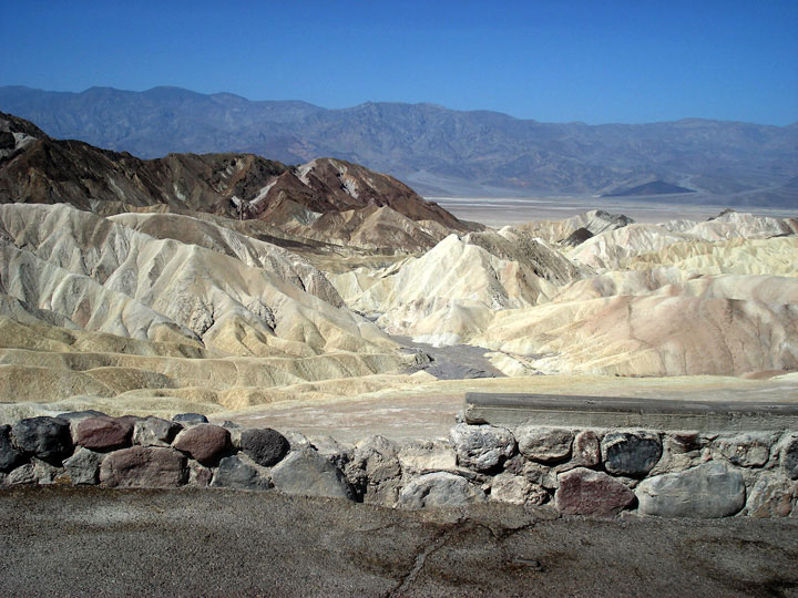
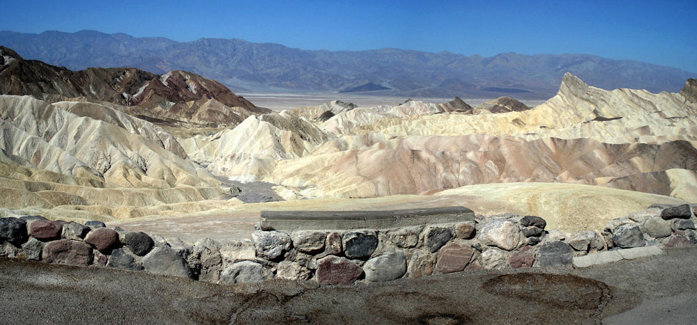
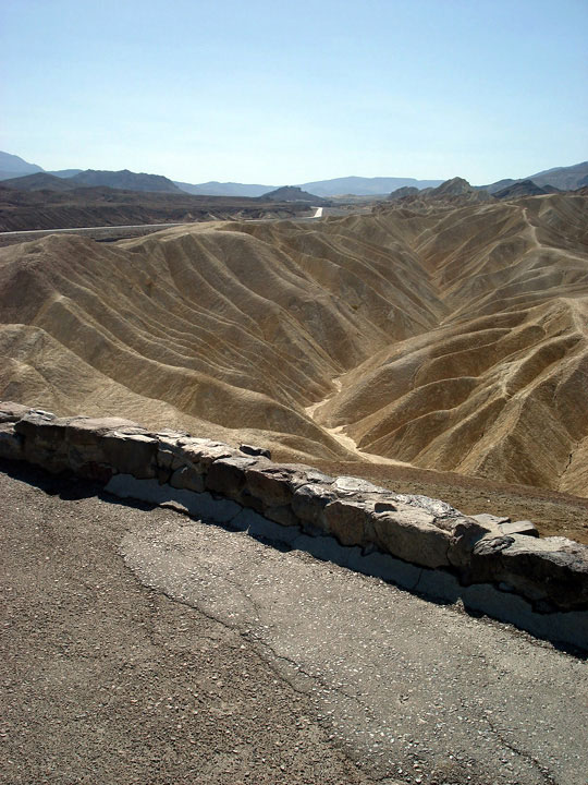
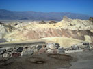
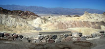
| Zabriskie Point |
|
 |
|
 |
|
| Zabriskie Point |
|
|
 |
|
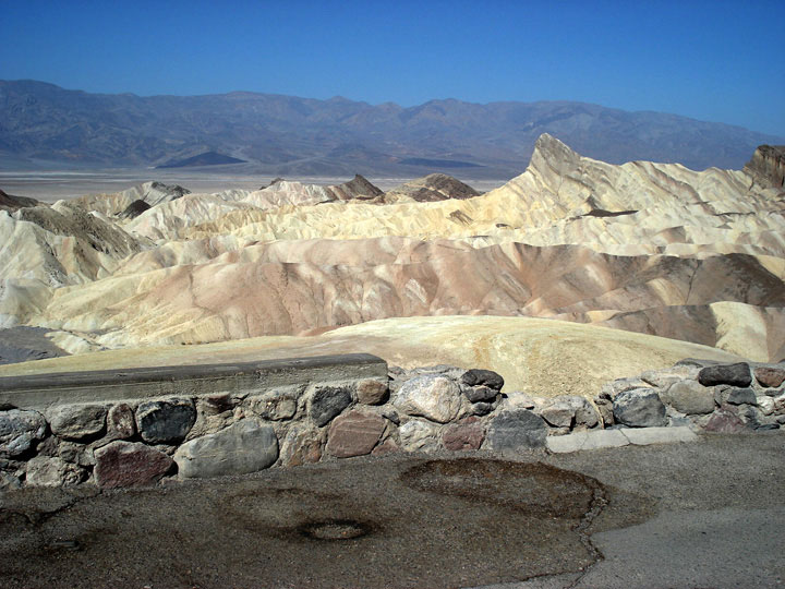
| Zabriskie Point |
|
|
|
|
|
|
|
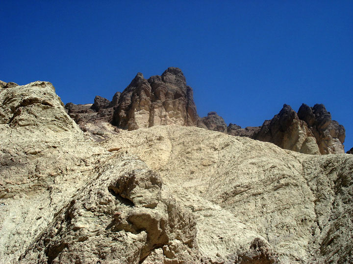
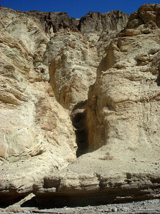
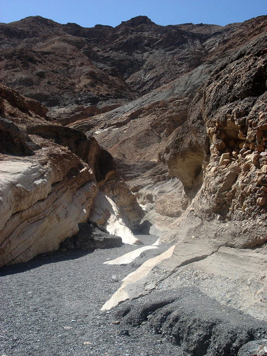
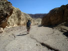
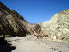
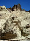
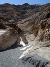
| Golden Canyon Interpretive Trail |
|
 |
|
 |
|
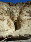
| Golden Canyon Trail |
|
|
 |
|
 |
|
 |
|
| Golden Canyon Trail - Too hot to hike! |
|
|
|
|
|
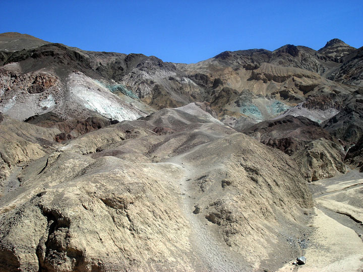
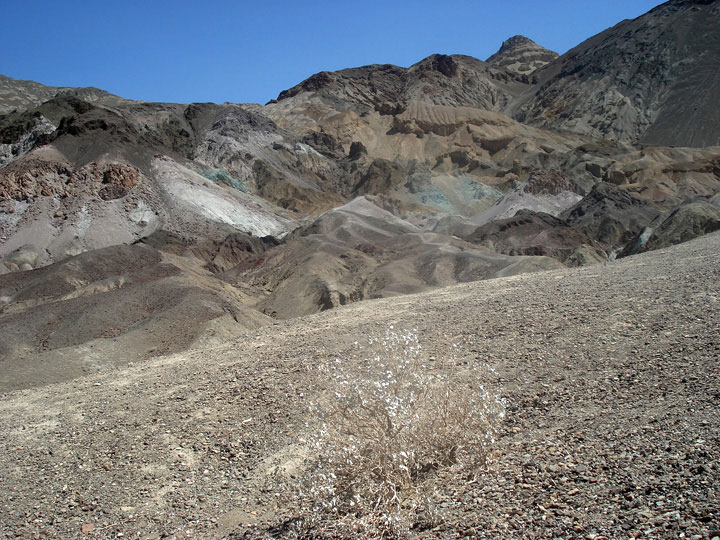
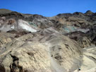
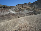
| Artist's Palette - Artists Drive |
|
 |
|
 |
|
| Artist's Palette |
|
|
|
|
|
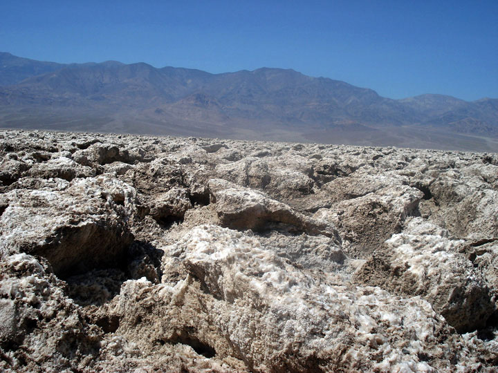
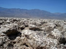
| Devil's Golf Course |
|
 |
|
|
|
| Devil's Golf Course |
|
|
|
|
|
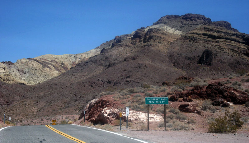
| Badwater Road & Jubilee Pass Road |
|
 |
|
|
|
Salsberry Pass and
Jubilee Pass Road |
|
|
|
|
|
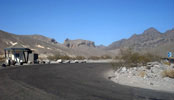
| Tecopa - Highway 127 (CA State Route 127) |
|
| No photos |
|
|
|
|
|
|
|
 |
|
 |
|
|
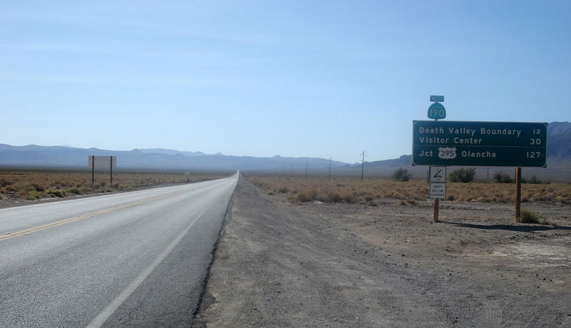
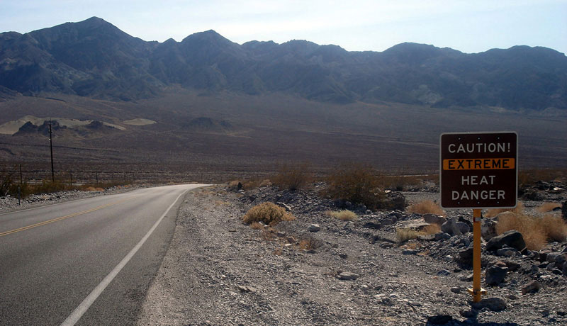
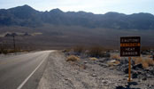
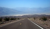
Highway 190 (west) -
Extreme Heat Danger! |
|
|
|
|
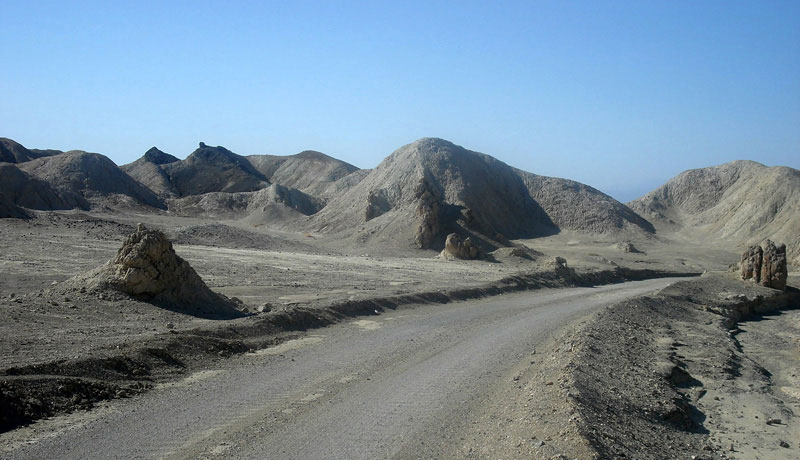
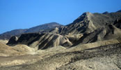
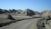
| Twenty Mule Team Canyon |
|
 |
|
 |
|
| Twenty Mule Team Canyon |
|
|
|
|
| Furnace Creek |
|
| No photos |
|
|
|
|
| Salt Creek |
|
 |
|
|
|
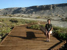
Salt Creek
Interpretive Trail |
|
|
|
|
|
| Beatty, Nevada |
|
| No photos |
|
|
|
|
| Day 3 - Mosaic Canyon |
|
 |
|
 |
|
 |
|
| Daylight Pass Road |
|
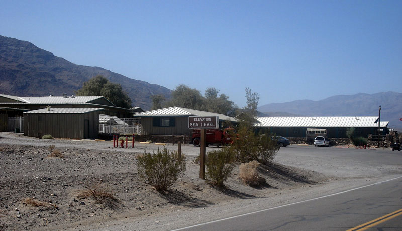
Stovepipe Wells Village |
|
Mosaic Canyon |
|