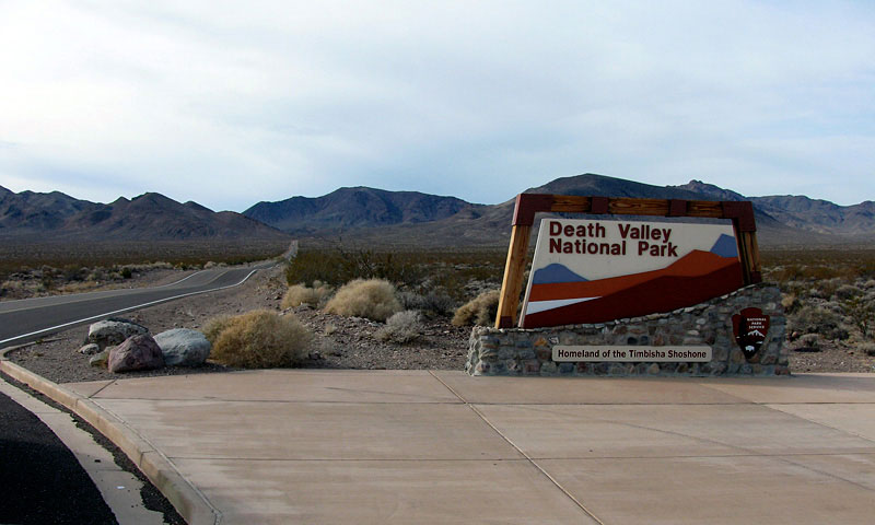
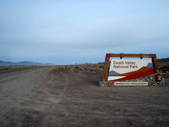
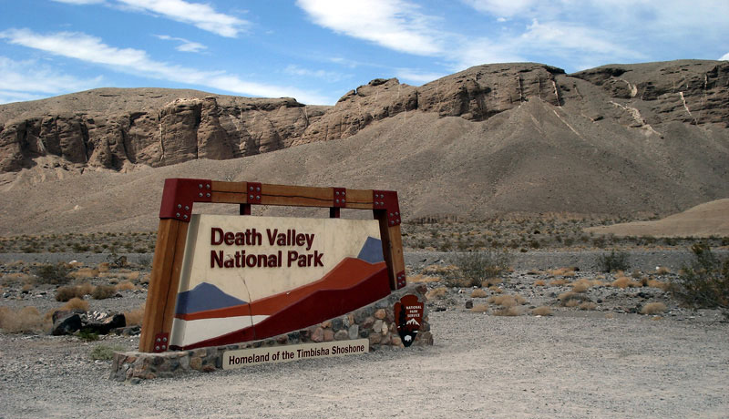
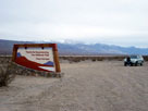
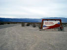
| Death Valley National Park |
 |
|
|
|
|
|
|
|
|
|
|
|
|
|
|
 |
|
 |
|
 |
|
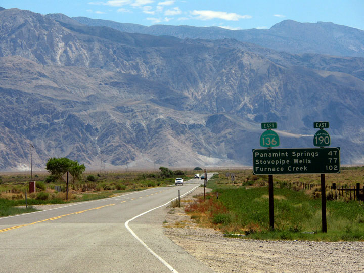
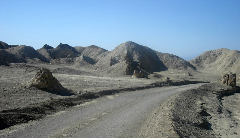
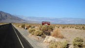
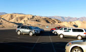
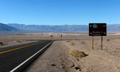
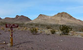
Highway 136 (to
Highway 190) near
Highway 395 junction |
|
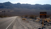
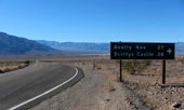
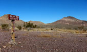
Highway 127 near Highway 190
junction (Death Valley Junction) |
|
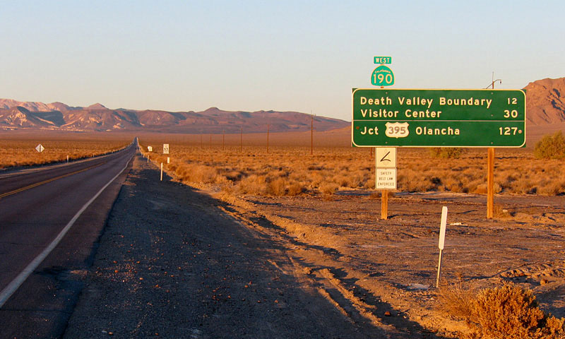
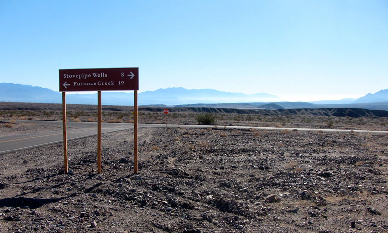
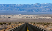
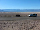
Highway 190 (west) from
Death Valley Junction |
|
|
|
|
|
|
|
 |
|
 |
|
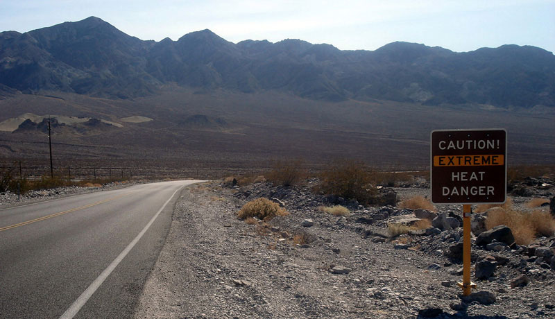
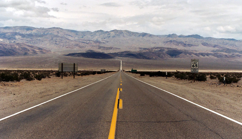
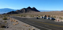
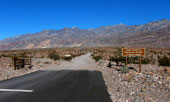
CA 190 (east) entering
Death Valley National Park
(Death Valley Scenic Byway) |
|
CA 190 (west) entering
Death Valley National Park
(Death Valley Scenic Byway) |
|
|
|
|
|
|
|
 |
|
 |
|
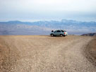
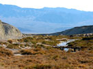
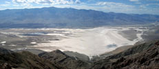
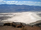
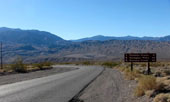
Father Crowley Vista
off Highway 190 |
|
Panamint Range and Panamint Valley
from Father Crowley Vista |
|
|
|
|
|
|
|
|
|
|
|
|
|
|
|
|
|
|
|
|
|
|
 |
|
 |
|
 |
|
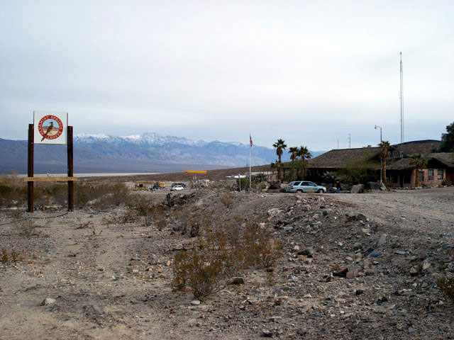
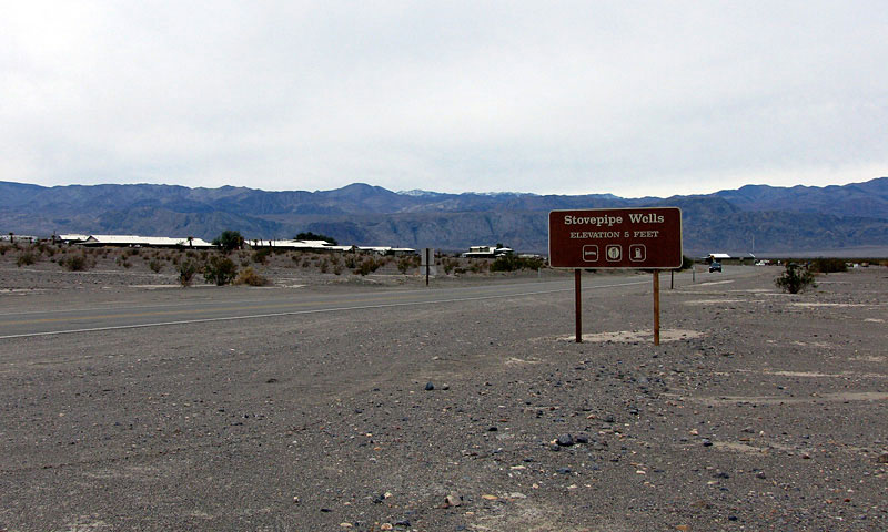
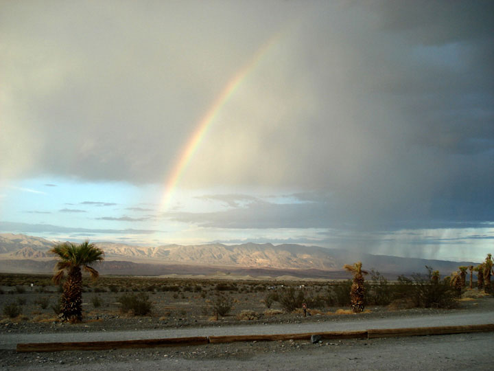
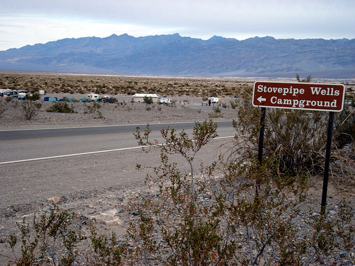
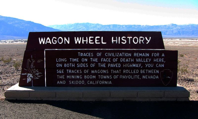
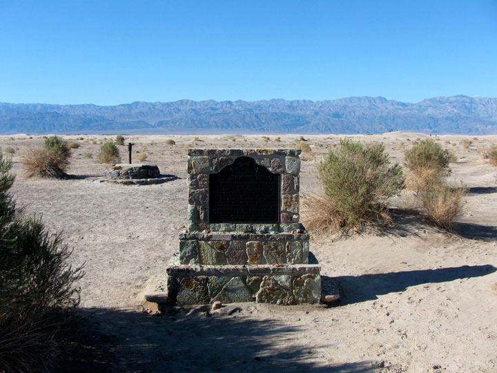
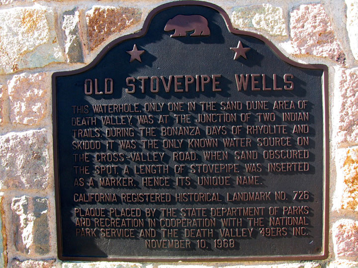
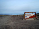
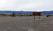
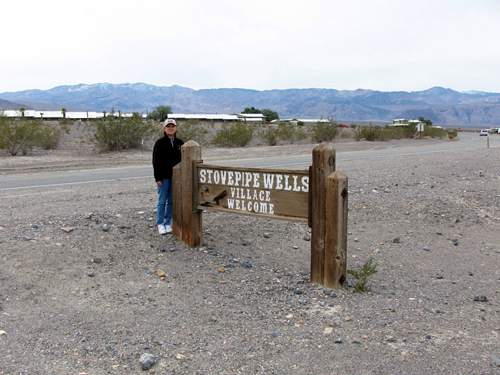
CA 190 (west) entering
Stovepipe Wells (Stovepipe Wells Village) |
|
Stovepipe Wells Lodge
and CA 190 |
|
|
 |
|
 |
|
 |
|
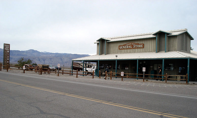
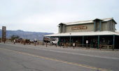
Stovepipe Wells General Store
and CA 190 (west) |
|
Grapevine Mountains
and Mesquite Flat
from Stovepipe Wells |
|
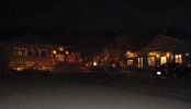
Badwater Saloon and
Stovepipe Wells Lodge |
|
|
|
|
|
|
|
|
|
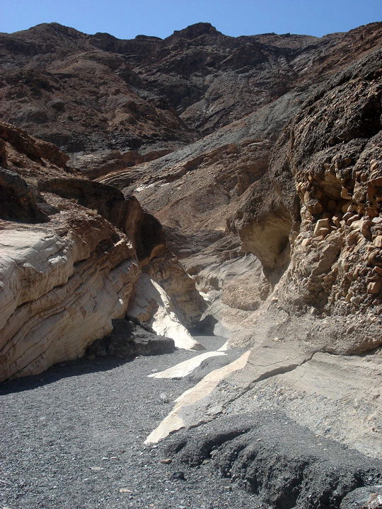
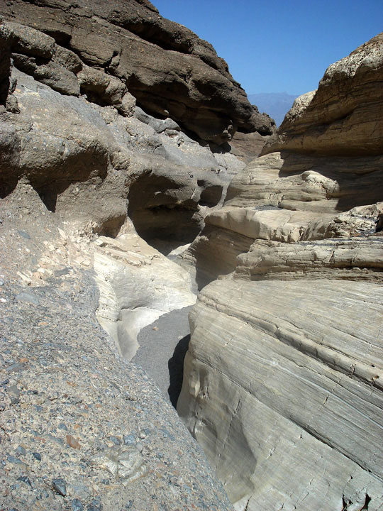
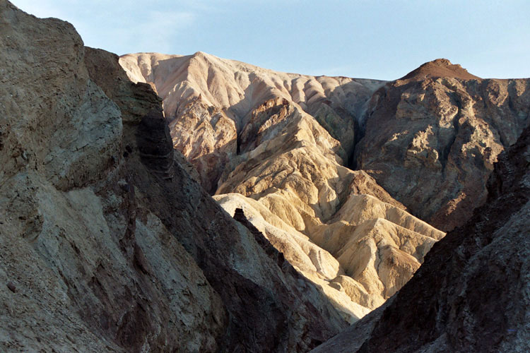
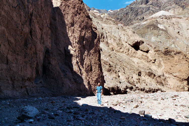
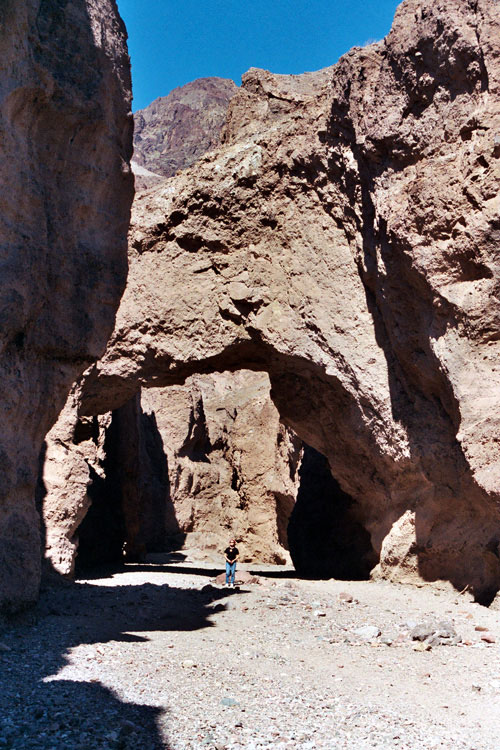
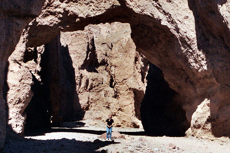
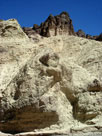
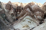
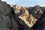
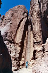
| Mosaic Canyon |
|
 |
 |
|
|
 |
|
 |
|
 |
|
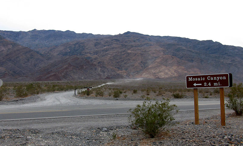
Mosaic Canyon Road
and Highway 190 |
|
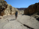
Mosaic Canyon (Mosaic Canyon Trail) |
|
|
|
|
|
|
|
 |
|
 |
|
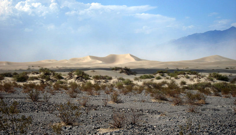
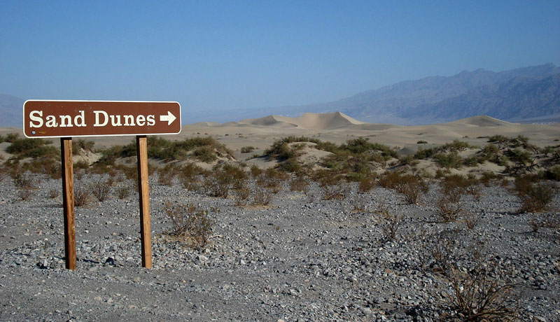
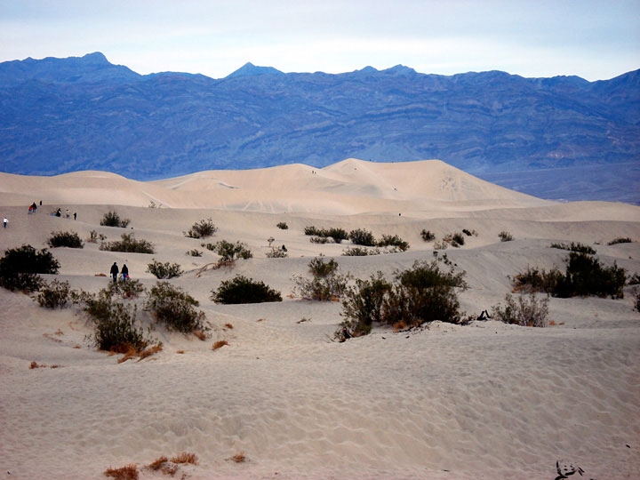
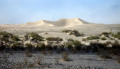
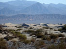
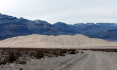
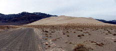
| Mesquite Flat Sand Dunes (Mesquite Flat Dunes) from Highway 190 |
|
|
 |
|
 |
|
 |
|
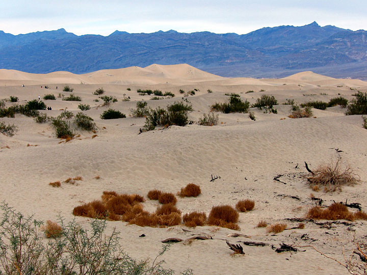
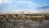
| Mesquite Flat Sand Dunes from Highway 190 |
|
|
|
|
|
|
|
|
|
|
|
|
 |
|
 |
|
 |
|
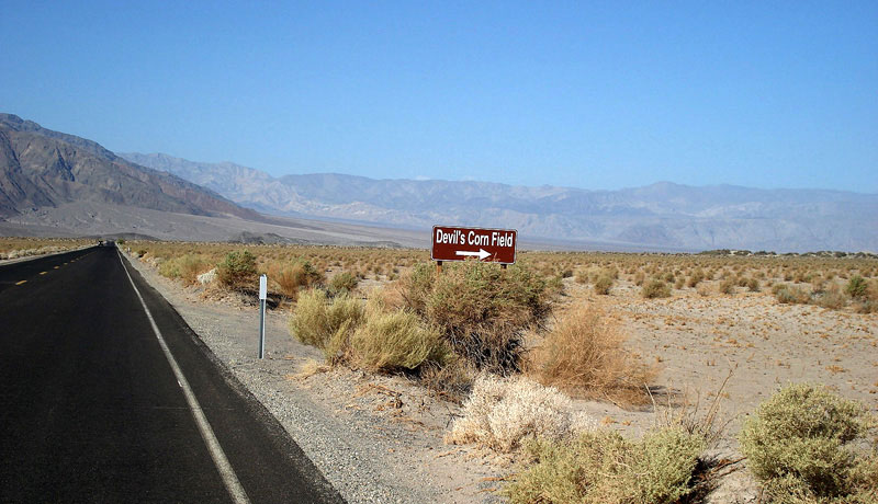
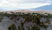
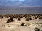
Devil's Corn Field
and Highway 190 (west) |
|
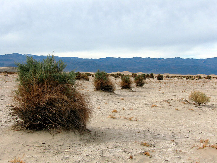
Panamint Range and
Devil's Corn Field |
|
|
|
|
|
|
|
 |
|
 |
|
 |
|
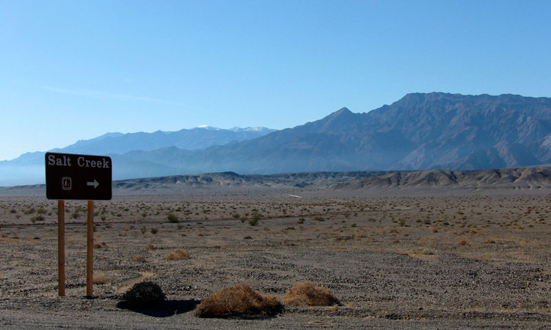
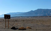
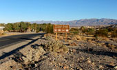
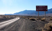
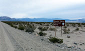
Salt Creek Road (Salt
Creek Trailhead entrance)
from Highway 190 |
|
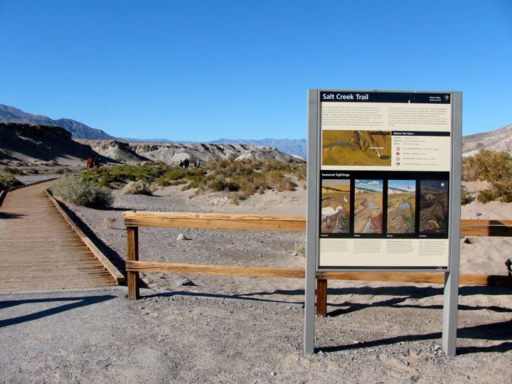
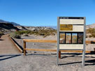
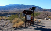
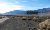
Salt Creek Trailhead |
|
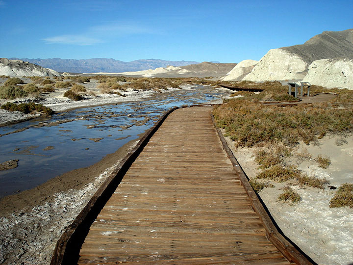
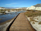
Salt Creek and Salt
Creek Trail (Salt Creek
Interpretive Trail) |
|
|
 |
|
 |
|
| Salt Creek from Salt Creek Trail |
|
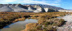
Funeral Mountains
and Salt Creek
from Salt Creek Trail |
|
|
|
|
|
|
|
|
|
|
|
|
|
|
|
|
|
 |
|
 |
|
 |
|
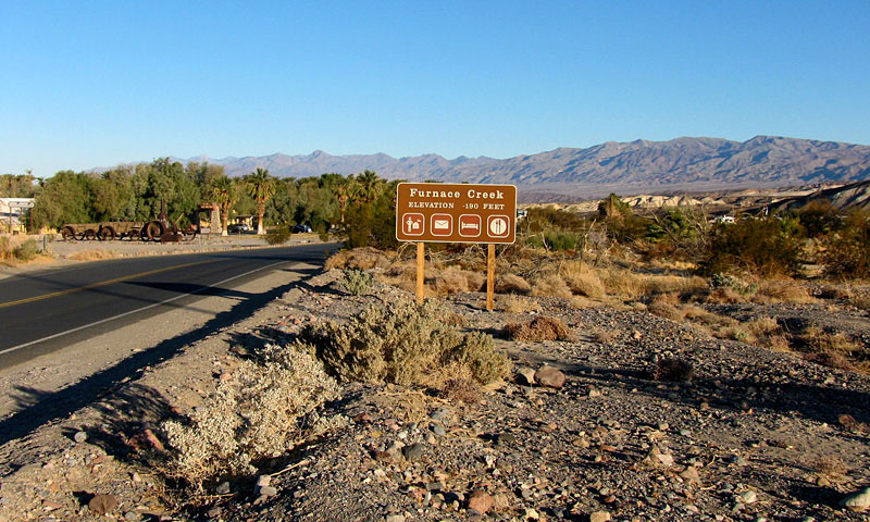
CA 190 (west)
entering Furnace Creek |
|
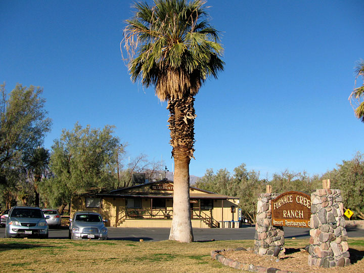
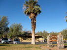
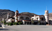
Furnace Creek Ranch |
|
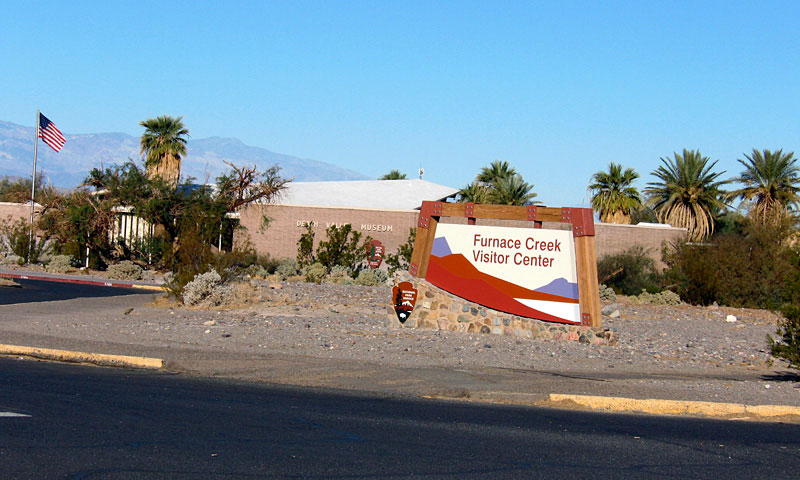
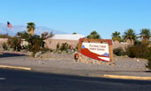
Furnace Creek Visitor Center |
|
|
|
|
|
|
|
|
|
| Zabriskie Point |
|
 |
|
|
|
 |
|
 |
|
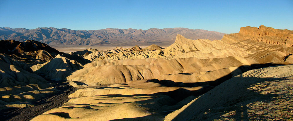
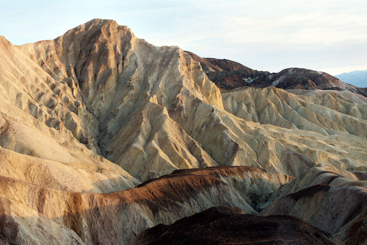
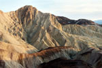
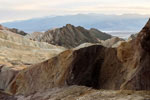
Zabriskie Point from Zabriskie
Point Trailhead off Highway 190 |
|
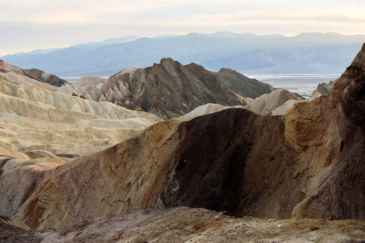
Panamint Range, Death Valley and Golden
Canyon from Zabriskie Point |
|
|
|
|
|
|
|
|
|
|
|
|
 |
|
|
|
Black Mountains and Highway
190 (west) near Furnace Creek
Wash Road junction |
|
|
|
|
|
|
|
|
 |
|
 |
|
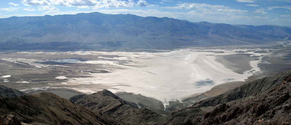
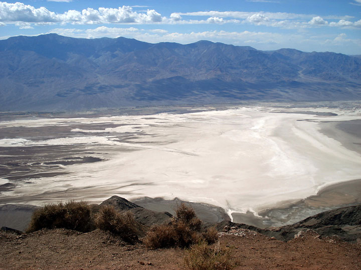
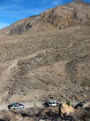
Panamint Range and Death Valley (Badwater Basin)
from Dante's View |
|
|
|
|
|
|
|
|
|
| Golden Canyon |
|
|
|
|
|
 |
|
 |
|
 |
|
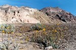
Golden Canyon Trail
into Golden Canyon |
|
Golden Canyon from Golden Canyon Trail |
|
|
 |
|
 |
|
 |
|
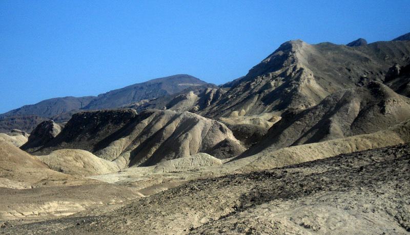
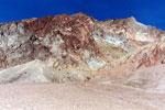
Golden Canyon from
below Red Cathedral |
|
Manly Beacon (?) from
below Red Cathedral |
|
Golden Canyon from
Golden Canyon Trailend
below Red Cathedral |
|
|
|
|
|
|
|
|
|
|
|
|
|
|
|
|
|
 |
|
 |
|
 |
|
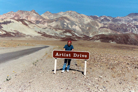
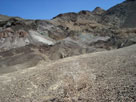
Black Mountains and
Artists Drive (Artist Drive)
off Badwater Road |
|
Black Mountains (Amargosa Range) from Artists Drive |
|
|
|
|
|
|
|
 |
|
 |
|
 |
|
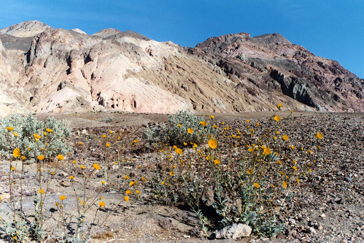
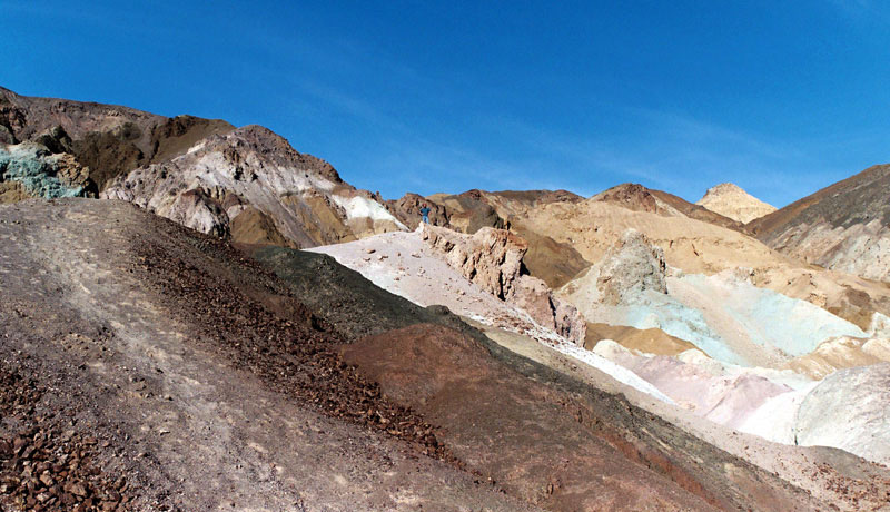
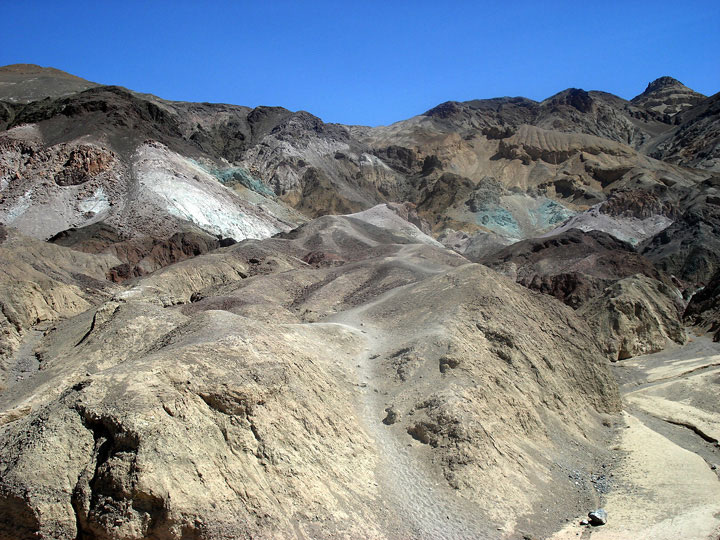
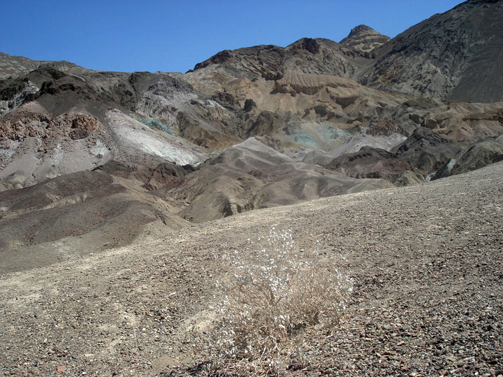
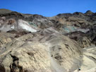
Black Mountains and
Artist's Palette |
|
Artist's Palette |
|
|
|
|
|
|
|
|
|
|
|
|
|
|
|
|
 |
|
 |
|
 |
|
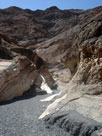
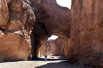
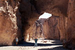
| Natural Bridge |
|
Natural Bridge
Canyon above
Natural Bridge |
|
|
|
|
|
|
|
 |
|
 |
|
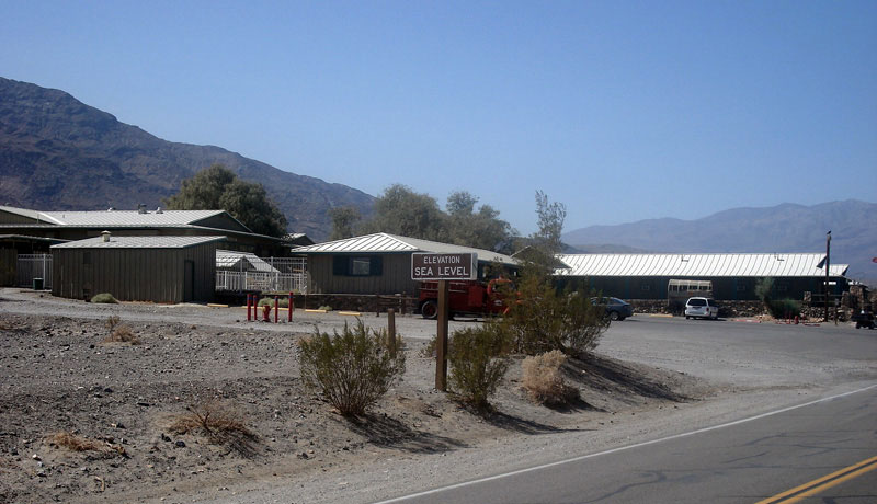
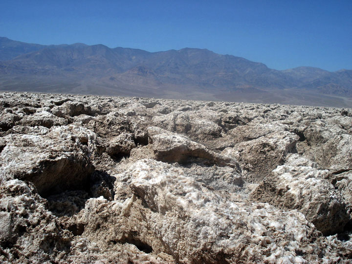
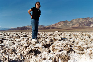
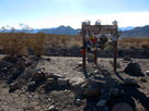
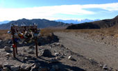
Sea level sign from Badwater
off Badwater Road |
|
|
|
|
|
|
|
|
|
|
|
|
|
|
|
|
|
|
|
|
|
|
|
|
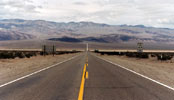
| Highway 178 (California State Route 178) |
|
|
 |
|
|
| Forthcoming... |
|
|
|
|
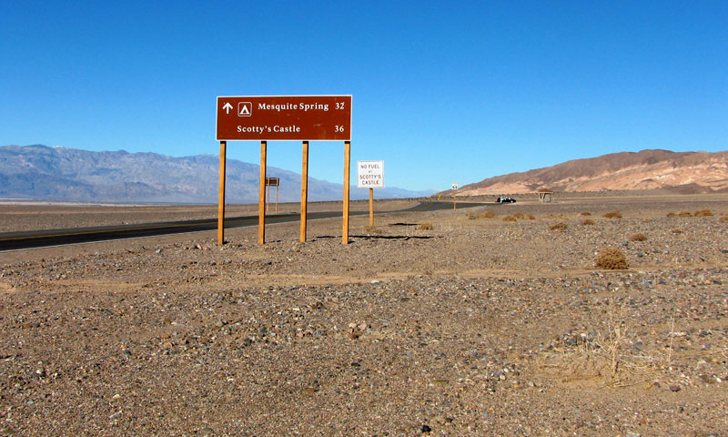
| Scottys Castle Road (Scotty's Castle Road) |
|
 |
|
|
 |
|
 |
|
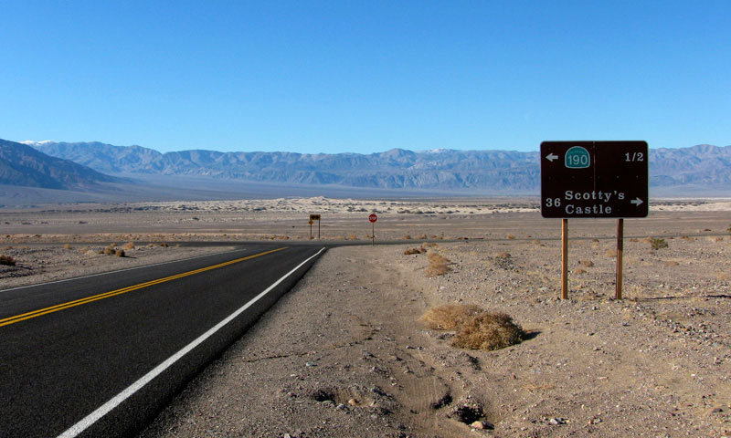
Highway 190 (west) near
Scottys Castle Road junction |
|
Death Valley and Highway 190
from Scottys Castle Road |
|
|
|
|
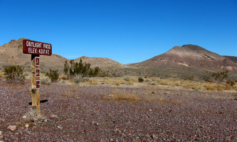
| Daylight Pass Road |
|
|
|
|
 |
|
 |
|
Panamint Range, Mesquite Flat Sand Dunes
and Scottys Castle Road from Daylight Pass Road |
|
|
|
|
|
|
|
 |
|
 |
|
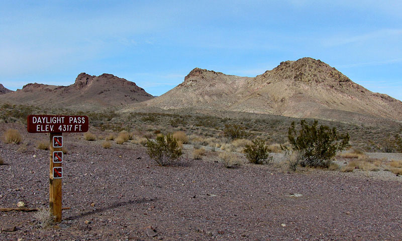
Death Valley Buttes, Hells Gate and
Daylight Pass Road |
|
Black Mountains, Death Valley and Panamint
Range (Telescope Peak) from Hells Gate |
|
|
|
|
|
|
|
 |
|
 |
|
 |
|
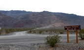
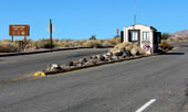
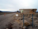
| Daylight Pass off Daylight Pass Road |
|
|
|
|
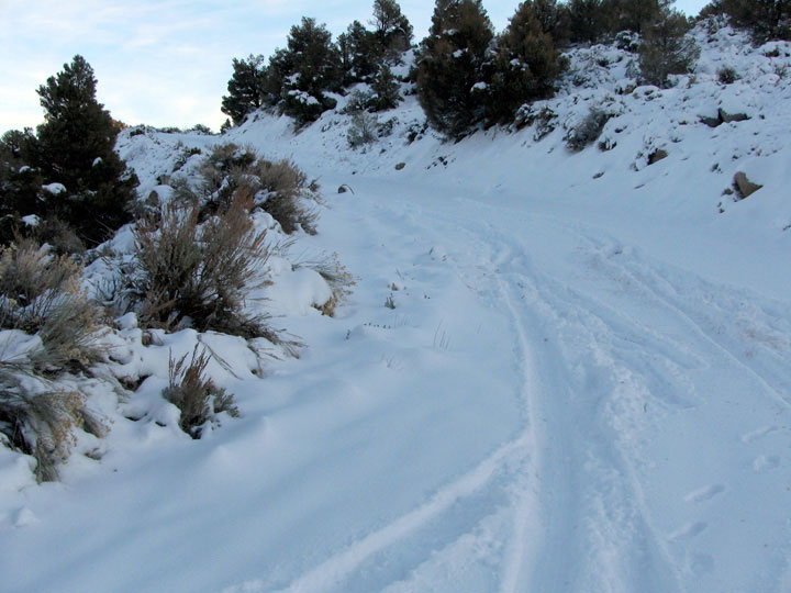
| Mesquite Flat |
|
|
|
|
 |
|
 |
|
| Scottys Castle Road (north) near Daylight Pass Road junction |
|
|
 |
|
 |
|
Panamint Range, Mesquite
Flat and Scottys Castle Rd
from below Kit Fox Hills |
|
|
|
|
|
|
|
|
|
|
| Titus Canyon |
|
|
|
|
 |
|
|
|
Grapevine Mountains and
Titus Canyon Road
off Scottys Castle Road |
|
|
|
|
|
|
|
|
 |
|
 |
|
 |
|
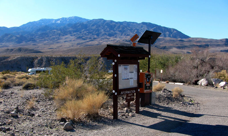
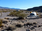
Mesquite Spring Campground
(Mesquite Springs Campground)
entrance (Mesquite Road) and
Scotty's Castle Road |
|
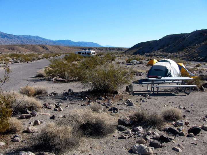
Mesquite Spring Campground |
|
|
|
|
|
|
|
 |
|
 |
|
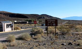
Grapevine Entrance Station and
Scottys Castle Road (north) |
|
Grapevine Ranger Station and
Scottys Castle Road (south) |
|
|
|
|
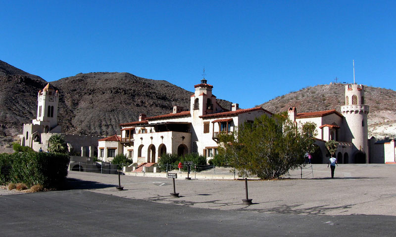
| Scotty's Castle (Scottys Castle) |
|
 |
|
|
|
|
 |
|
 |
|
| Scotty's Castle (Scottys Castle) off Scottys Castle Road |
|
|
|
|
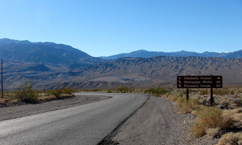
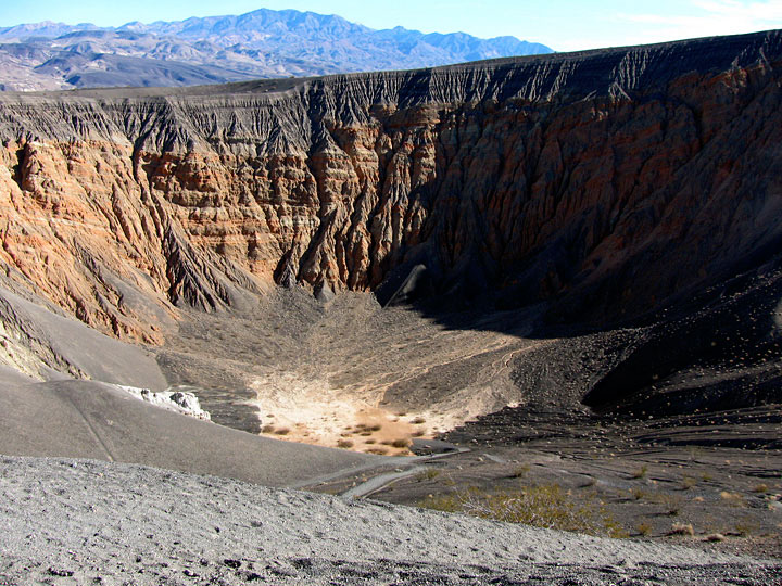
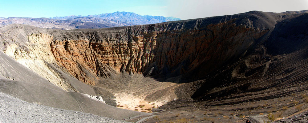
| Ubehebe Crater Road |
|
|
|
|
 |
|
 |
|
Scottys Castle Road near
Ubehebe Crater Road junction |
|
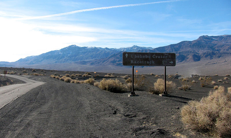
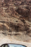
Ubehebe Crater Road near
Racetrack Road junction |
|
|
|
|
|
|
|
|
|
|
|
|
 |
|
 |
|
 |
|
Ubehebe Crater Road near
Racetrack Road (Racetrack
Valley Road) junction |
|
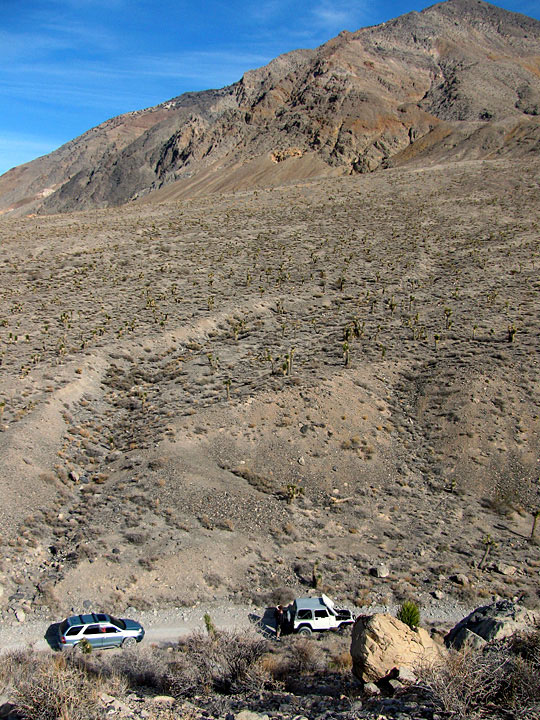
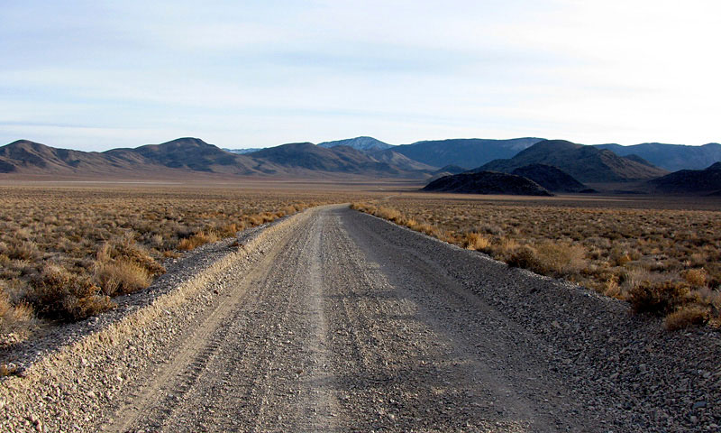
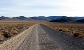
Racetrack Road |
|
|
|
|
|
|
|
 |
|
 |
|
 |
|
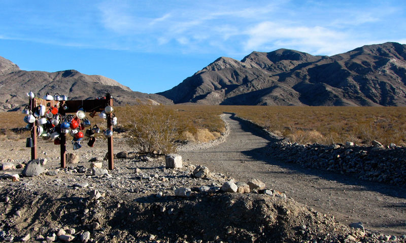
Hidden Valley Road
from Teakettle Junction |
|
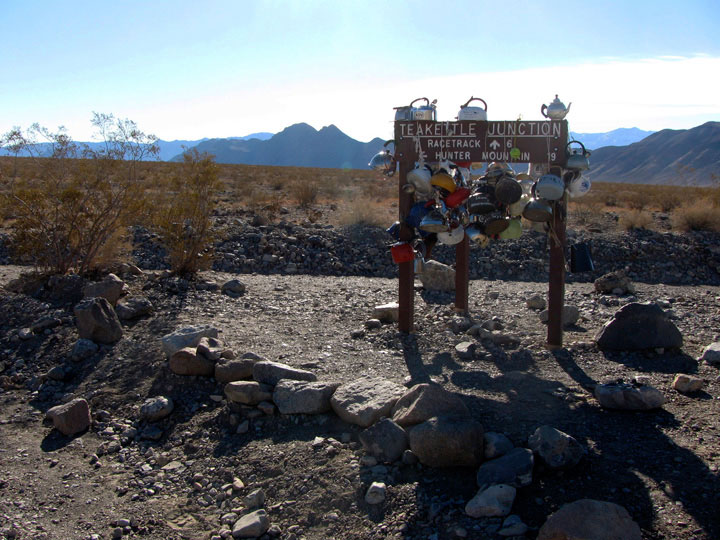
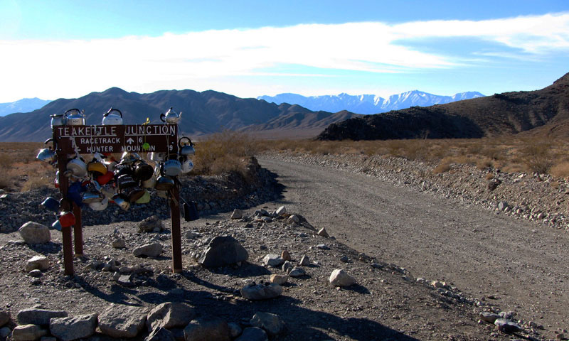
Last Chance Range and
Racetrack Rd (Racetrack Valley
Rd) from Teakettle Junction |
|
|
|
|
|
|
|
 |
|
 |
|
 |
|
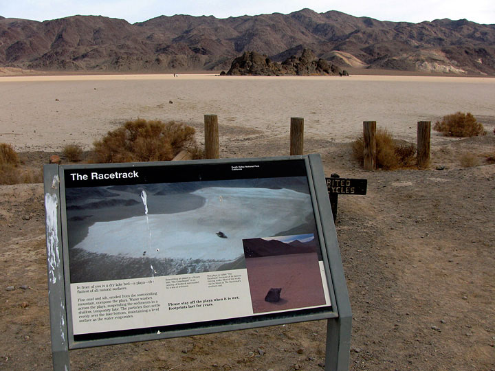
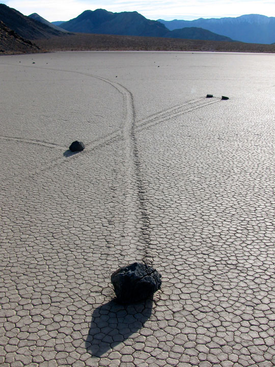
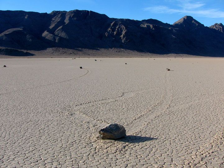
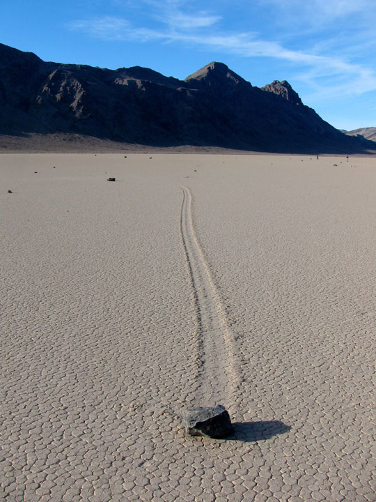
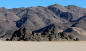
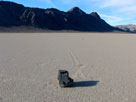
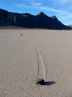
The Grandstand and The Racetrack (Racetrack Playa)
off Racetrack Road (Racetrack Valley Road) |
|
The Grandstand
in The Racetrack |
|
|
|
|
|
|
|
 |
|
 |
|
 |
|
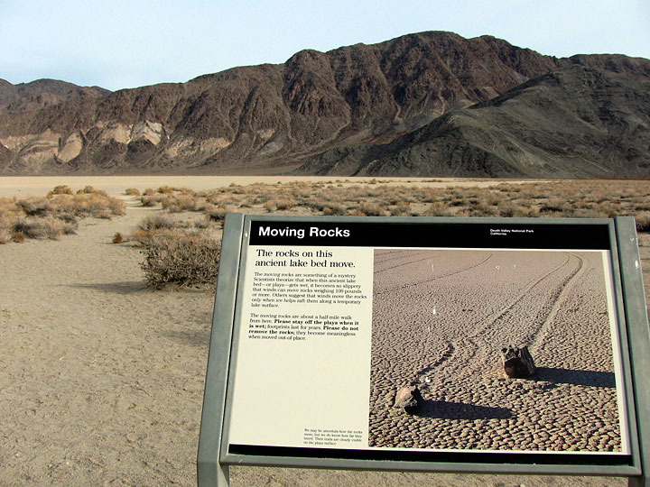
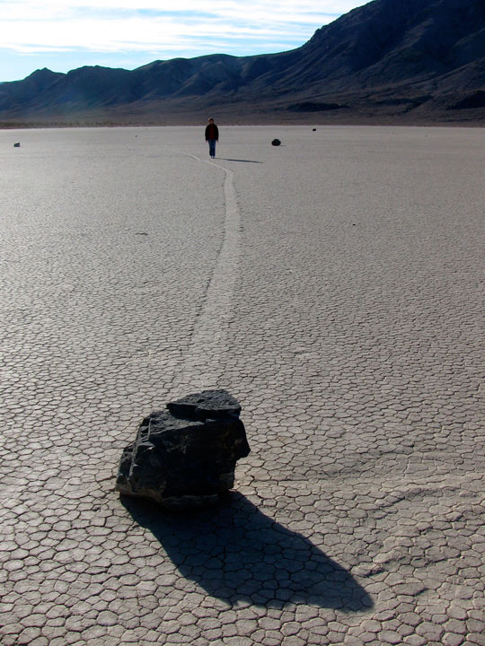
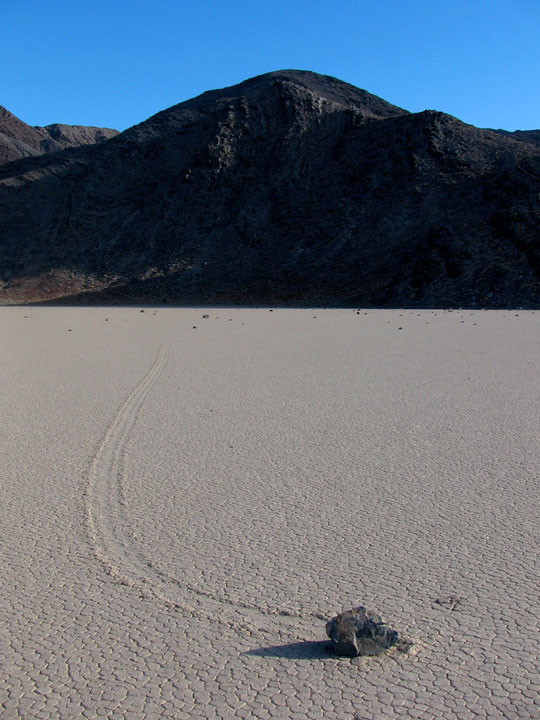
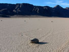
Last Chance Range, Ubehebe Peak and Moving Rocks
in The Racetrack |
|
|
|
|
|
|
|
 |
|
 |
|
 |
|
Hidden Valley and
Hidden Valley Road |
|
Hidden Valley |
|
Ulida Flat from
Hidden Valley Road |
|
|
|
|
|
|
|
|
|
|
|
|
|
|
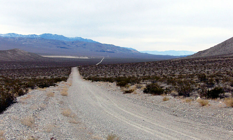
| Eureka Valley |
|
|
|
|
|
 |
|
|
|
Last Chance Range and
Eureka Valley from Big Pine
Road (Death Valley Road) |
|
|
|
|
|
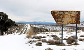
| South Eureka Road |
|
|
|
|
 |
|
|
|
South Eureka Road off Big
Pine Road (Death Valley Road)
toward Eureka Sand Dunes |
|
|
|
|
|
|
|
|
 |
|
 |
|
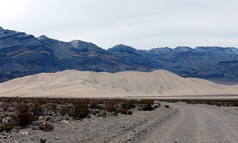
Eureka Sand Dunes (Eureka
Dunes) and South Eureka Road |
|
Last Chance Range and Eureka Sand Dunes |
|
|
|
|
|
|
|
 |
|
 |
|
Saline Valley Road off
Death Valley Road (Big Pine
Road) toward Saline Valley |
|
Saline Valley Road
off Highway 190 |
|
|
|
|
|
|
|
 |
|
 |
|
 |
|
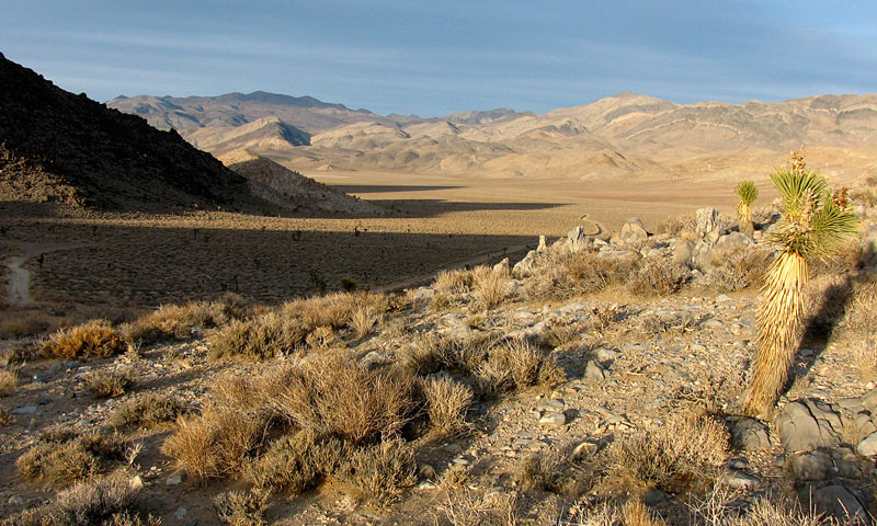
Panamint Range, Panamint
Valley and CA 190 (east) |
|
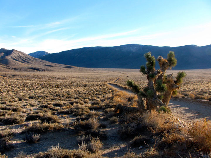
Panamint Range
(Telescope Peak) from
Panamint Valley Road |
|
Panamint Valley Road
entering Death Valley
National Park |
|
|
|
|
|
|
|
|
|
|
|
|
|
|
|
|
|
|
|
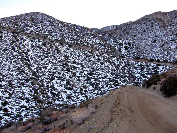
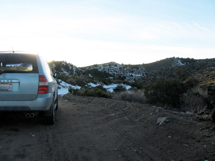
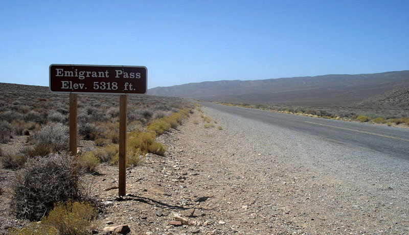
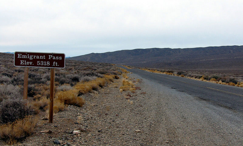
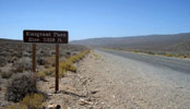
| Emigrant Pass |
|
|
|
|
 |
|
 |
|
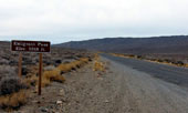
| Emigrant Pass and Emigrant Canyon Road (Wildrose Road) |
|
|
|
|
| Wildrose Canyon |
|
|
|
|
 |
|
|
|
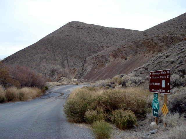
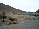
Emigrant Canyon Road
(Wildrose Road) from
Charcoal Kilns Road |
|
|
|
|
|
| Wildrose |
|
 |
|
|
|
 |
|
 |
|
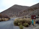
Charcoal Kilns Road from
Emigrant Canyon Road
(Wildrose Road) |
|
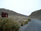
Wildrose Campground
and Charcoal Kilns Road |
|
|
|
|
|
|
|
 |
|
 |
|
 |
|
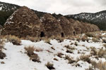
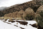
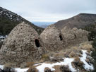
Charcoal Kilns from Charcoal Kilns
Road (Mahogany Flat Road) |
|
|
|
|
|
|
|
|
|
|
| Death Valley National Park Photos on Web |
|
|
|
|