| Burro Pass Trail |
 |
|
|
|
|
|
|
|
|
|
|
| Burro Pass |
|
 |
|
 |
|
 |
|
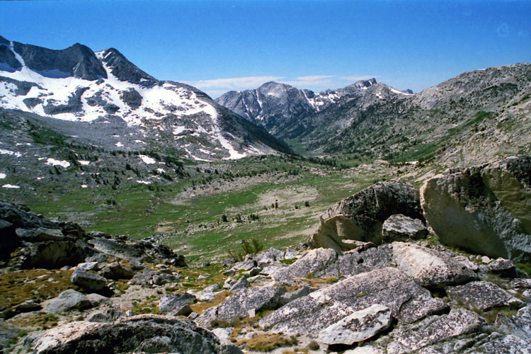
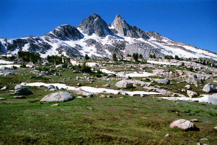
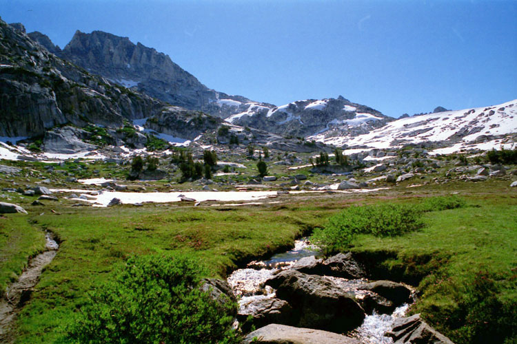
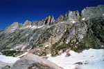
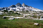
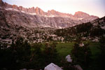
Finger Peaks
from Burro Pass |
|
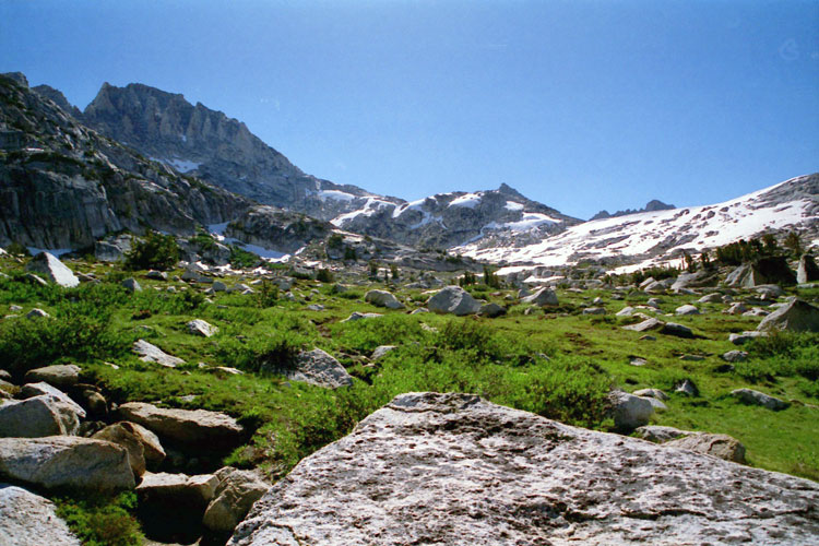
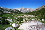
Slide Mountain, Crown
Point and Upper Piute
Creek from Burro Pass |
|
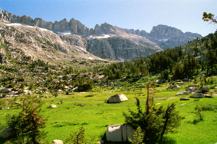
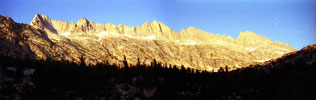
Sawtooth Ridge
from Burro Pass |
|
|
 |
|
 |
|
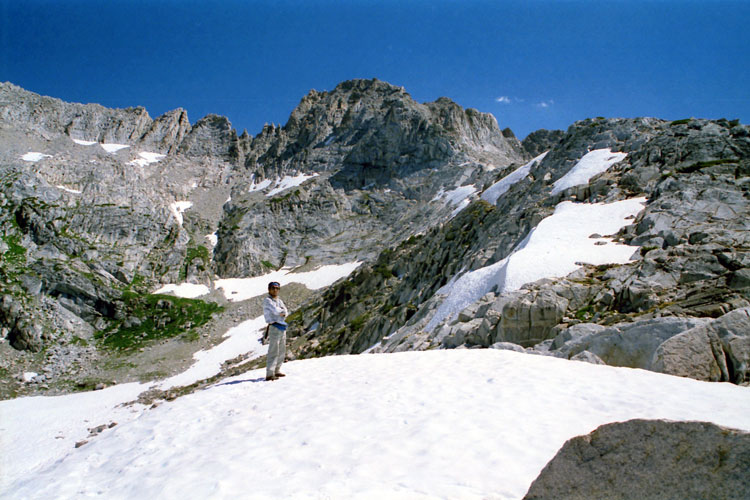
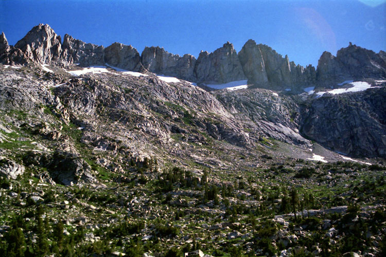
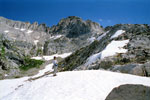
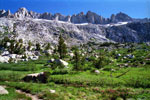
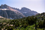
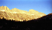
Matterhorn Peak
from Burro Pass |
|
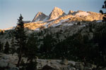
Matterhorn Peak
and Burro Pass |
|
|
 |
|
 |
|
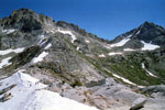
Matterhorn Peak, Whorl Mountain and Burro Pass
from east ridge of Finger Peaks |
|
|
|
|
| Upper Piute Creek |
|
 |
|
 |
|
 |
|
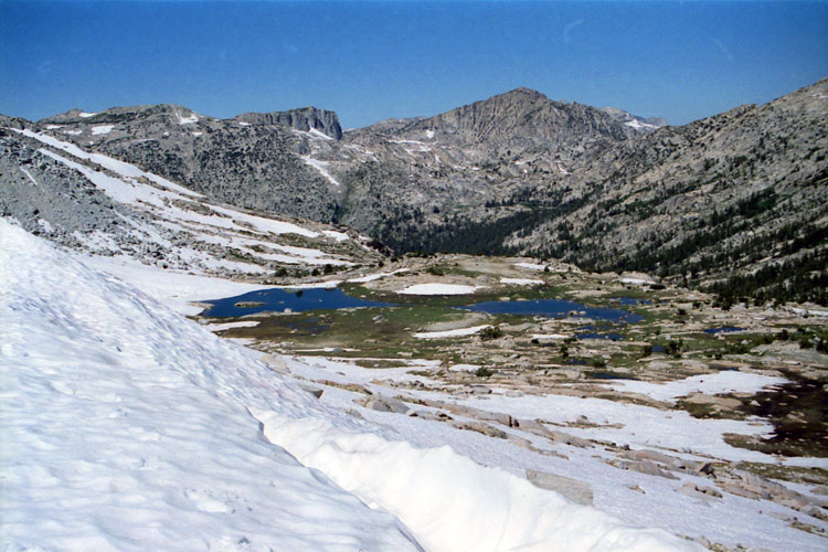
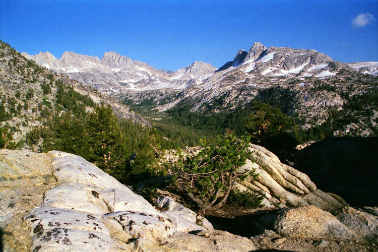
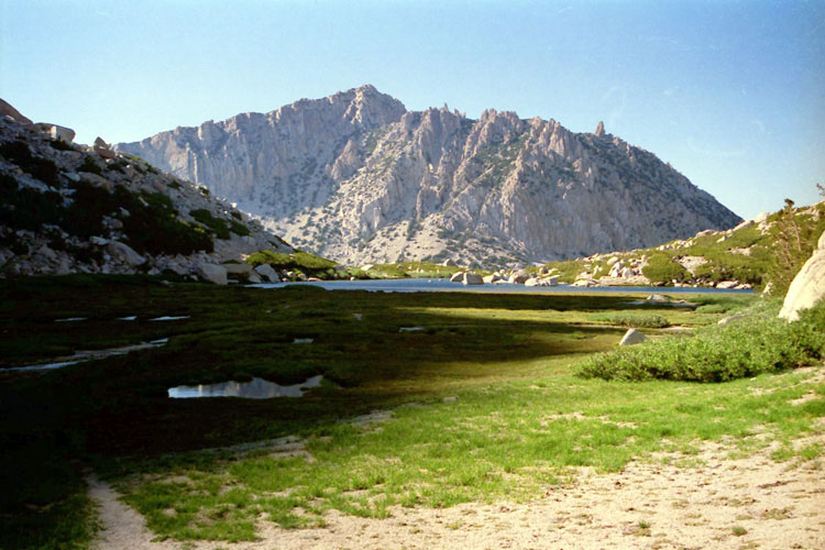
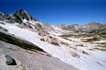
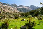
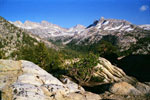
Finger Peaks, Slide Mountain,
Crown Point and unnamed
lakes (Upper Piute Creek)
from Burro Pass Trail |
|
Matterhorn Peak
and headwater of
Piute Creek |
|
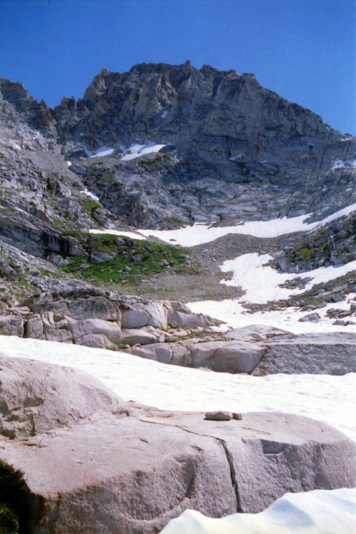
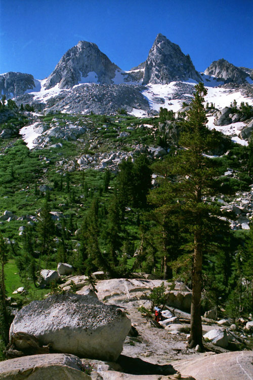
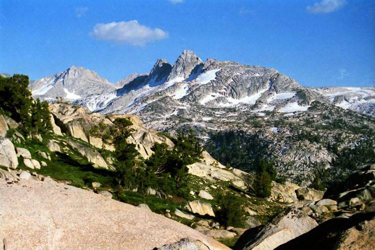
Finger Peaks from
Burro Pass Trail |
|
|
 |
|
 |
|
Matterhorn Peak, Burro Pass and Upper Piute Creek
from Burro Pass Trail |
|
|
 |
|
 |
|
 |
|
Sawtooth Ridge
from Burro Pass Trail |
|
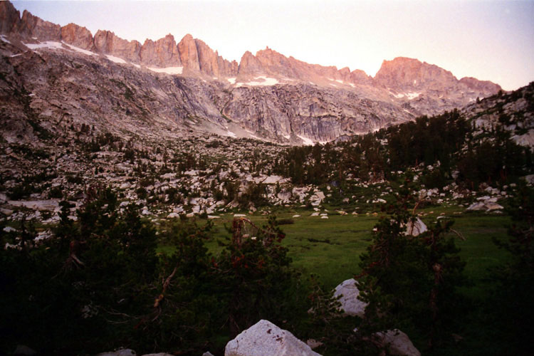
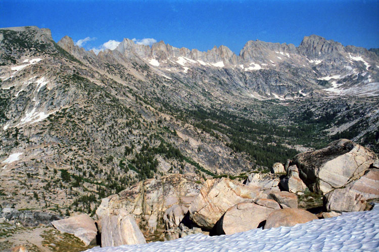
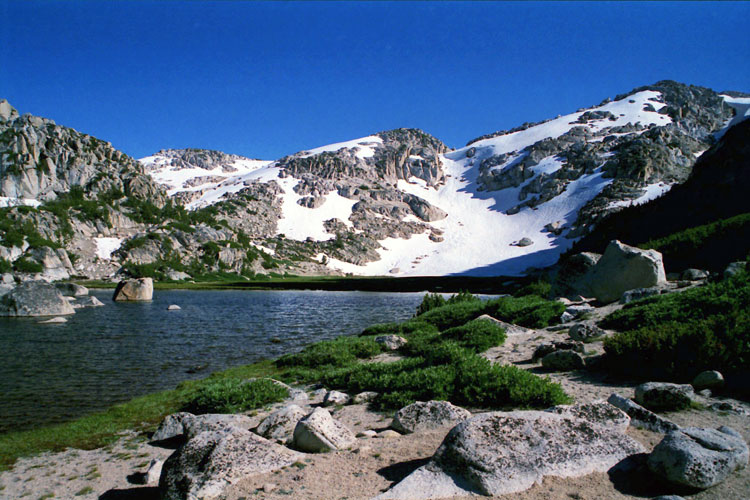
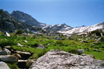
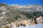
Slide Mountain
and Upper Piute Creek |
|
Sawtooth Ridge
and Matterhorn Peak |
|
|
 |
|
 |
|
 |
|
Sawtooth Ridge and Matterhorn Peak
from Burro Pass Trail |
|
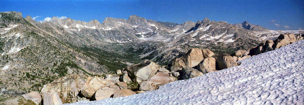
Finger Peaks |
|
|
 |
|
 |
|
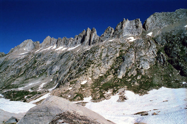
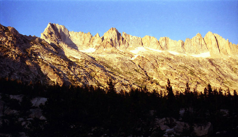
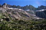
Sawtooth Ridge (Cleaver Peak, The Three Teeth and The
Doodad) and Matterhorn Peak from Burro Pass Trail |
|
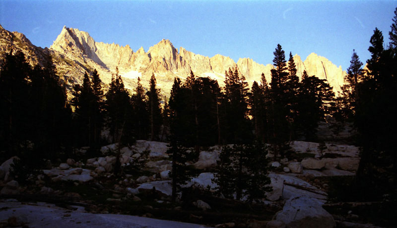
Sawtooth Ridge,
Matterhorn Peak
and Upper Piute Creek |
|
|
 |
|
 |
|
Sawtooth Ridge and Matterhorn Peak
from Burro Pass Trail |
|
|
 |
|
Sawtooth Ridge (Blacksmith Peak, Cleaver Peak,
The Three Teeth and The Doodad) and
Matterhorn Peak from Burro Pass Trail |
|
|
 |
|
 |
|
Finger Peaks from
Burro Pass Trail |
|
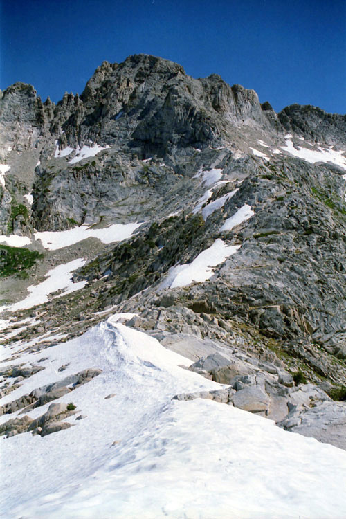
Sawtooth Ridge from
Burro Pass Trail |
|
|
|
|
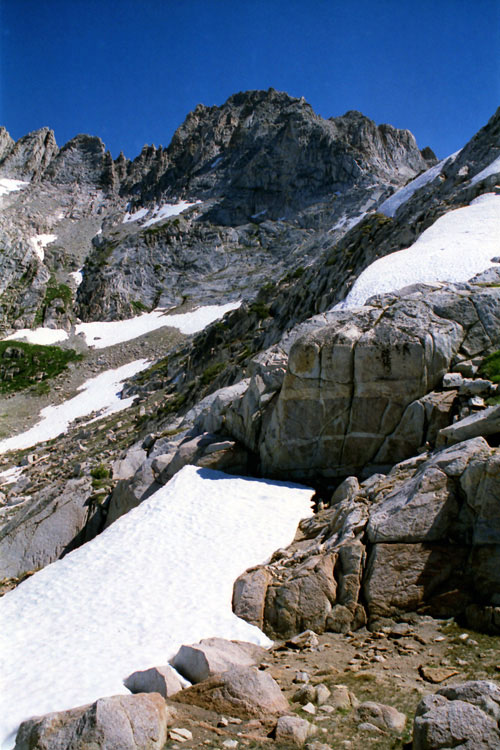
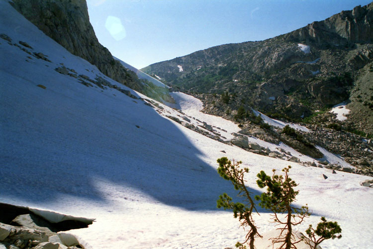
| Below Mule Pass |
|
 |
|
 |
|
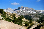
Matterhorn Peak, Whorl
Mountain (north peak) and
Finger Peaks from
Burro Pass Trail |
|
Whorl Mountain (north peak)
and Finger Peaks
from Burro Pass Trail |
|
|
|
|
| Mule Pass |
|
 |
|
 |
|
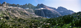
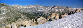
Sawtooth Ridge, Matterhotn Peak, Whorl Mountan, Finger Peaks
and Upper Piute Creek from Mule Pass |
|
|
|
|
|
|
|
|
|
| Burro Pass Trail Photos on Web |
|
|
|
|