| イースタン・シエラのビスタ・ポイント |
 |
| (Vista Points of Eastern Sierra) |
|
|
|
|
|
|
|
|
|
|
|
|
|
|
 |
|
 |
|
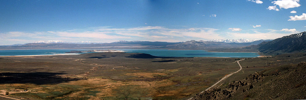
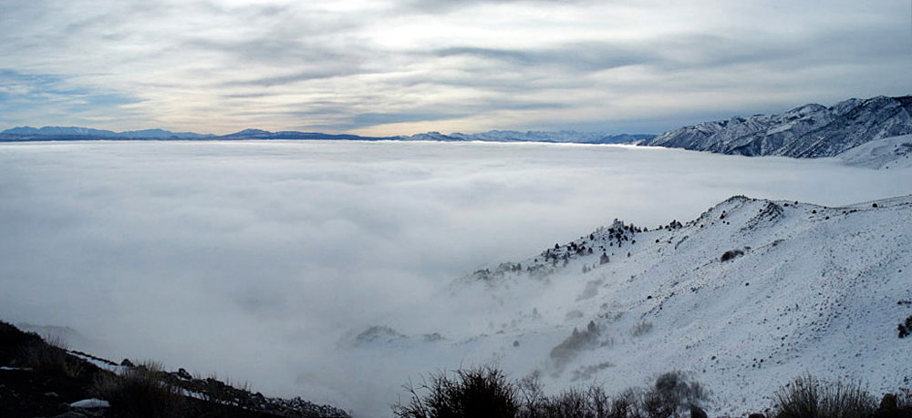
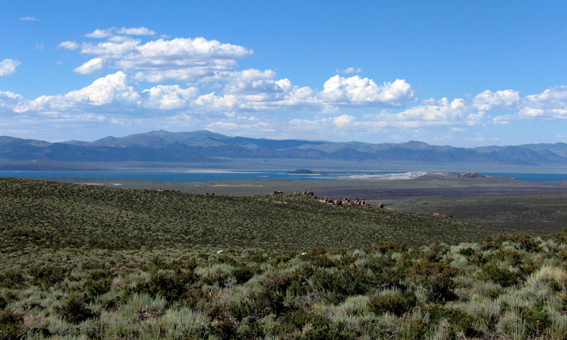
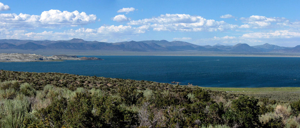
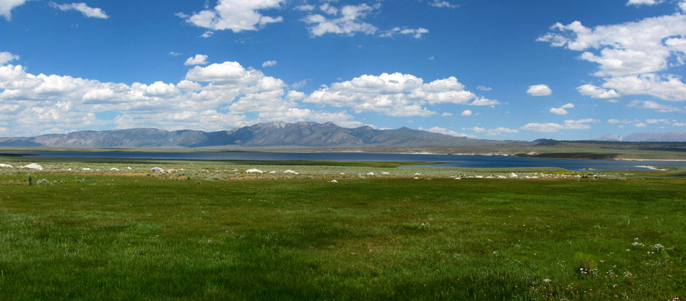
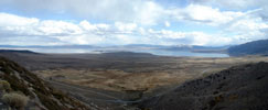
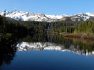
Mono Lake (in clouds)
from Mono Lake Vista |
|
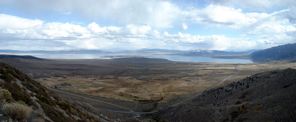
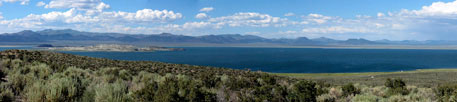
Mono Lake from Mono Lake Vista
near Conway Summit |
|
|
|
|
|
|
|
|
|
|
|
|
|
|
|
|
|
 |
|
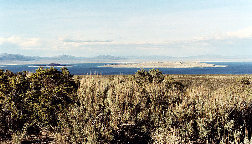
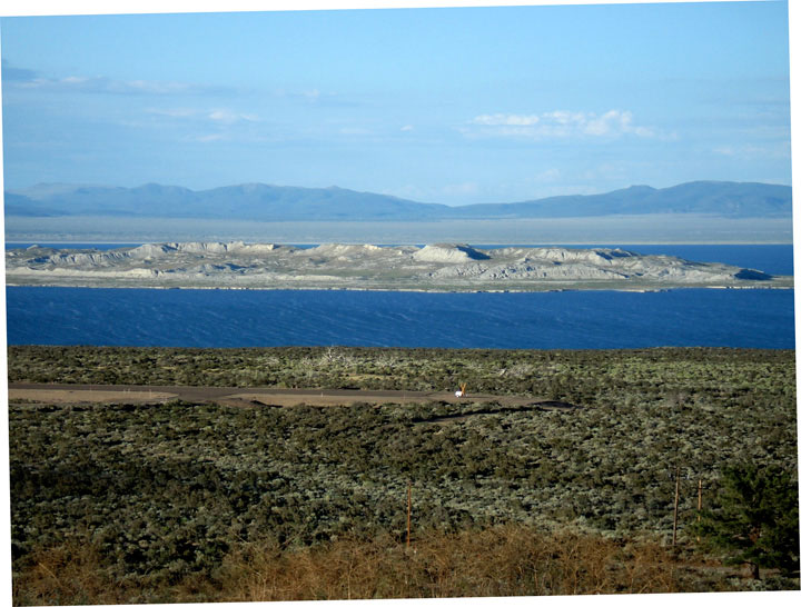
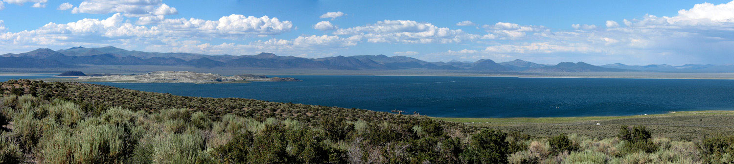
| Mono Lake from Vista Point along Viewpoint Road off Highway 395 |
|
|
|
|
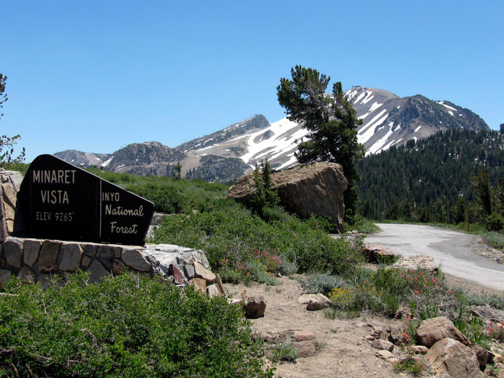
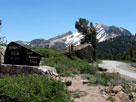
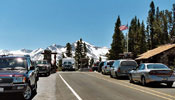
| ミナレット・ビスタ (Minaret Vista) |
|
 |
|
|
 |
|
 |
|
 |
|
Mammoth Mountain
from Minaret Vista
near Minaret Summit |
|
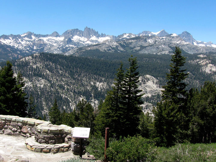
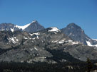
Ritter Range from
Minaret Vista |
|
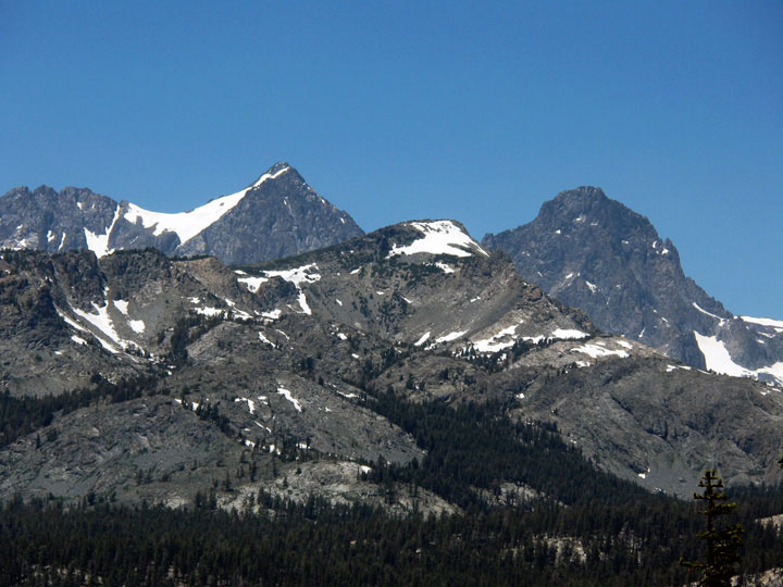
Mount Ritter and Banner
Peak from Minaret Vista |
|
|
 |
|
 |
|
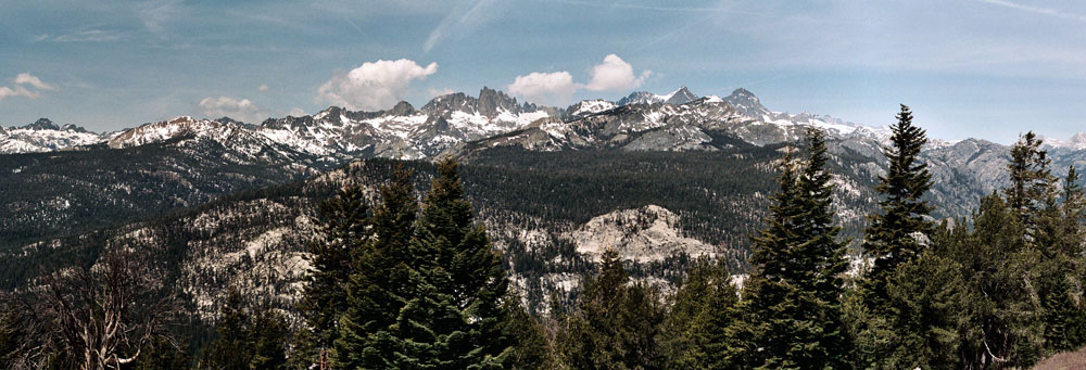
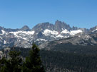
Ritter Range (Mount Ritter, Banner Peak and Minarets)
and Volcanic Ridge from Minaret Vista |
|
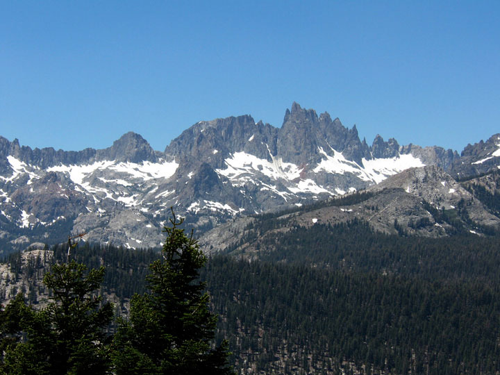
Minarets from
Minaret Vista |
|
|
|
|
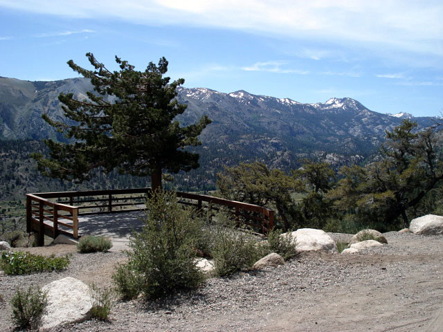
| ツイン・レイクス・ビスタ (Twin Lakes Vista) |
|
|
|
|
 |
|
 |
|
 |
|
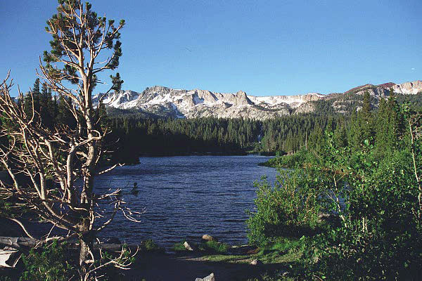
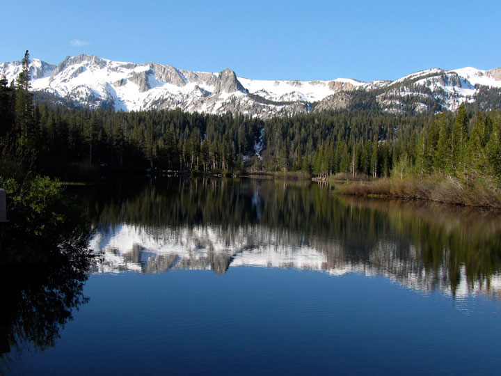
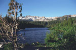
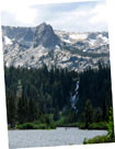
Mammoth Crest, Crystal Crag and Twin Lakes
from Twin Lakes Vista off Lake Mary Road |
|
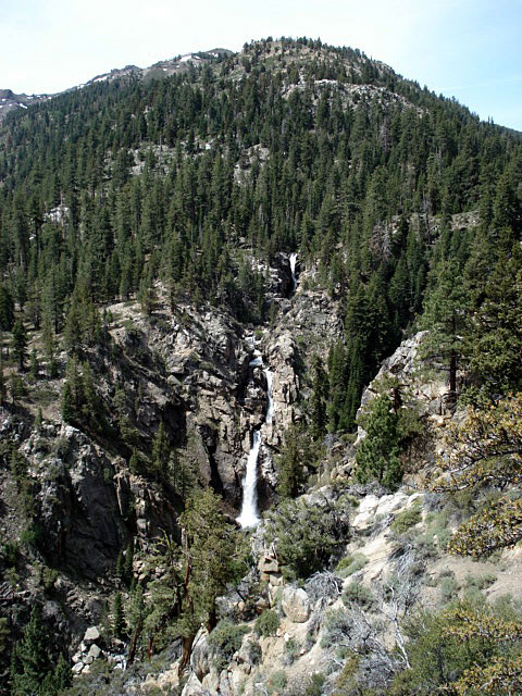
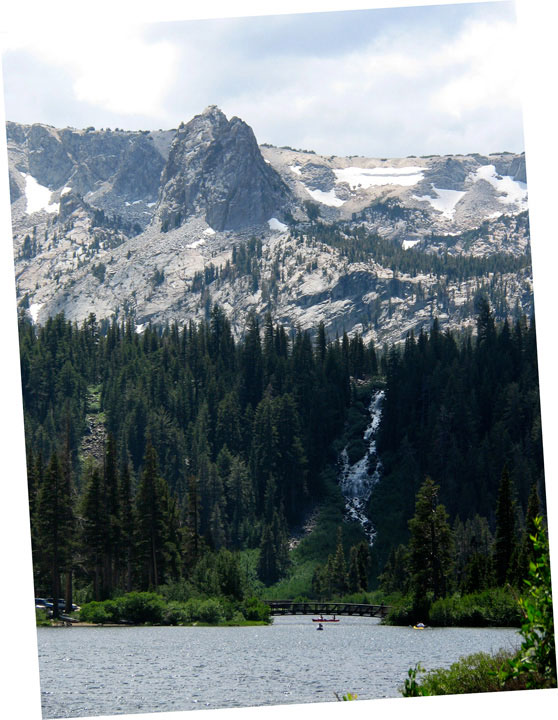
Crystal Crag
and Twin Falls |
|
|
|
|
|
|
|
|
|
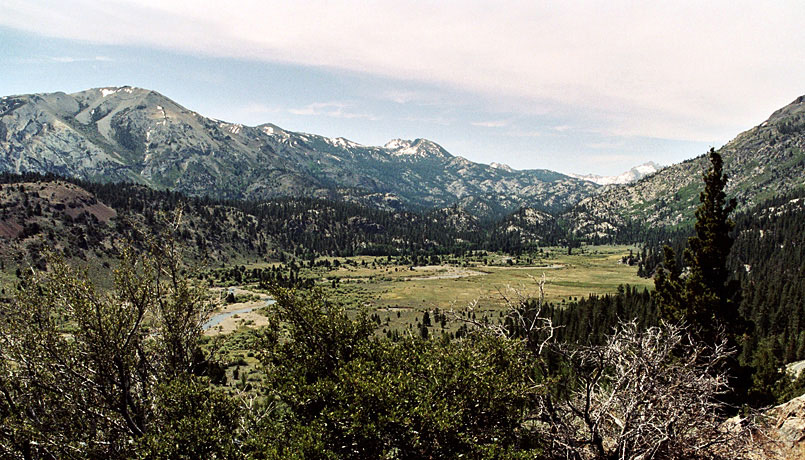
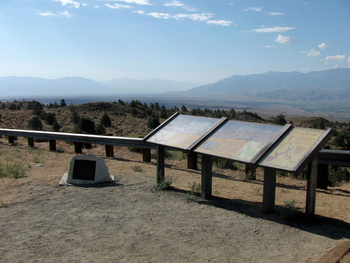
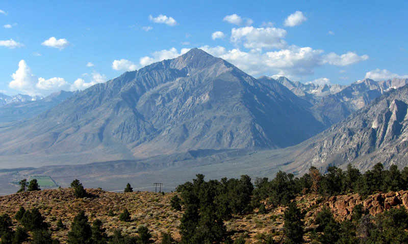
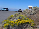
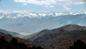
| Owens Valley Vista Point |
|
 |
|
|
 |
|
 |
|
 |
|
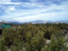
Owens Valley from
Vista Point off
Highway 395 south |
|
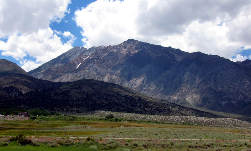
Mount Tom from
Owens Valley Vista Point |
|
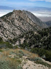
Wheeler Ridge |
|
|
|
|
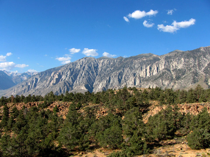
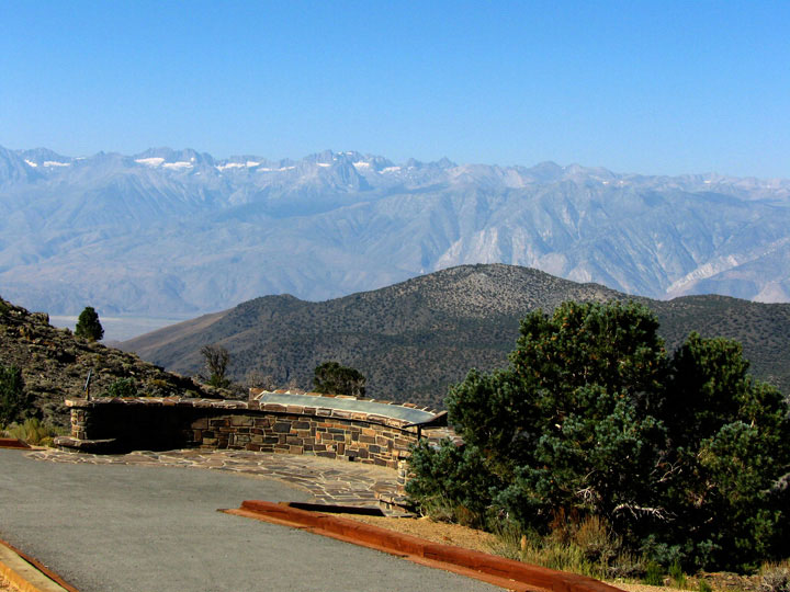
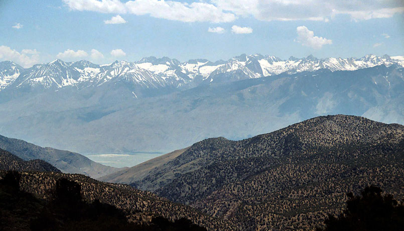
| シエラ・ビュー (Sierra View) |
|
|
|
|
 |
|
 |
|
 |
|
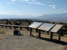
White Mountain Road
and Sierra View |
|
Sierra View Vista Point |
|
Sierra Nevada Mountains
from Sierra View |
|
|
|
|
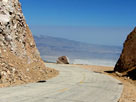
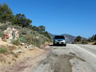
| ワルツ・ポイント (Walt's Point) |
|
 |
|
|
 |
|
 |
|
 |
|
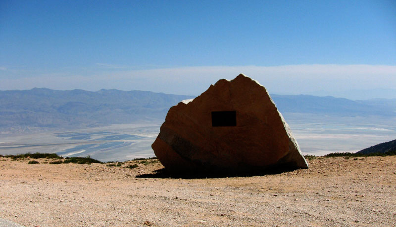
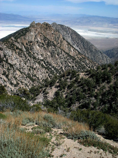
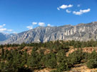
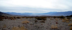
Owens Lake (Owens Valley)
from Walt's Point |
|
Walt's Point and
Horseshoe Meadows Road |
|
|
|
|
|
|
|
|
|
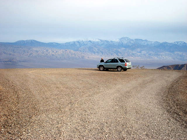
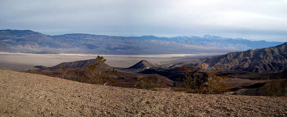
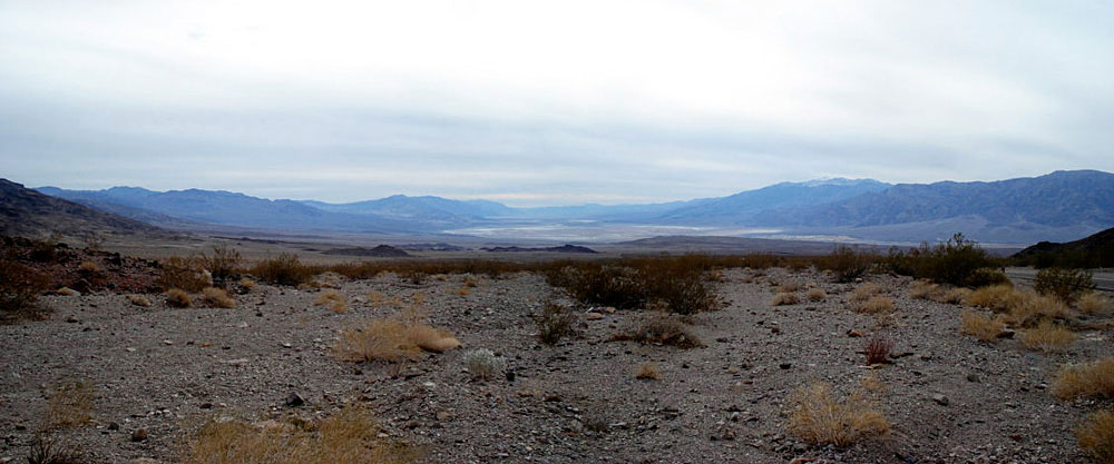
| ヘルズ・ゲート (Hells Gate) |
|
 |
|
 |
|
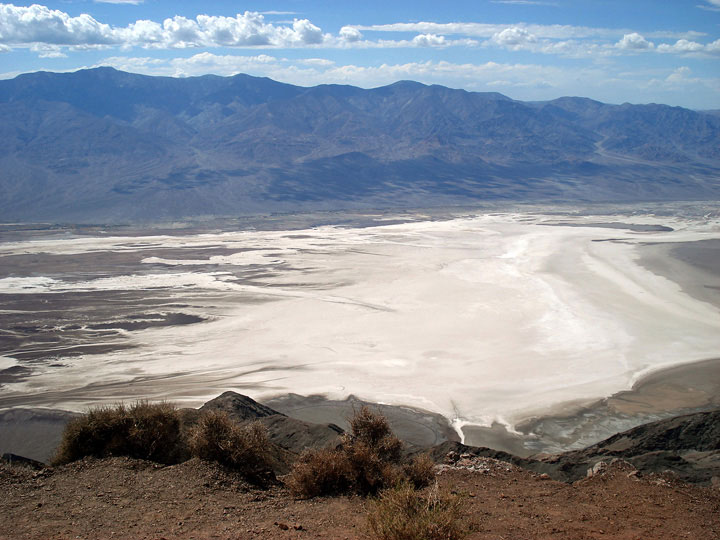
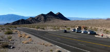
Death Valley Buttes, Hells Gate and
Daylight Pass Road |
|
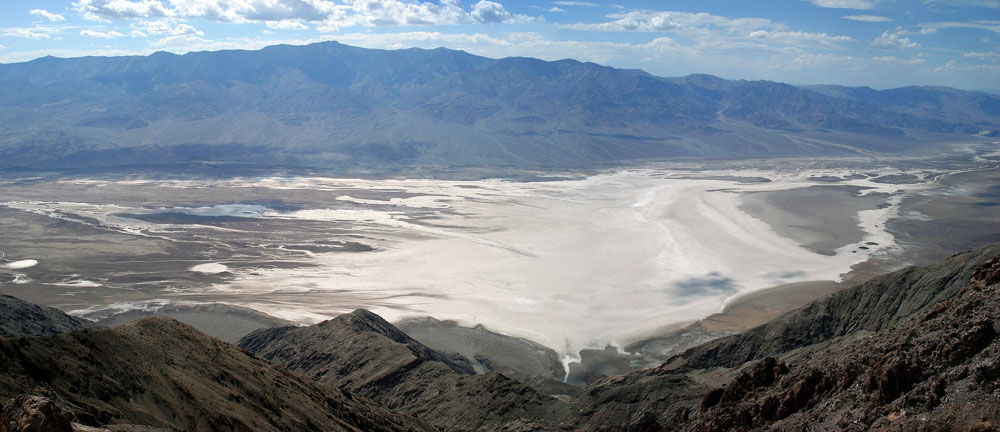
Black Mountains, Death Valley and Panamint
Range (Telescope Peak) from Hells Gate |
|
|
|
|
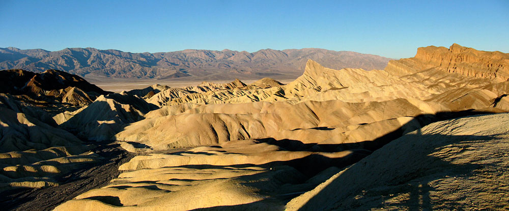
| ザブリスキー・ポイント (Zabriskie Point) |
|
 |
|
 |
|
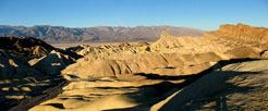
Zabriskie Point from Zabriskie
Point Trailhead off Highway 190 |
|
Panamint Range, Death Valley and Golden
Canyon from Zabriskie Point |
|
|
|
|
|
|
|
|
|
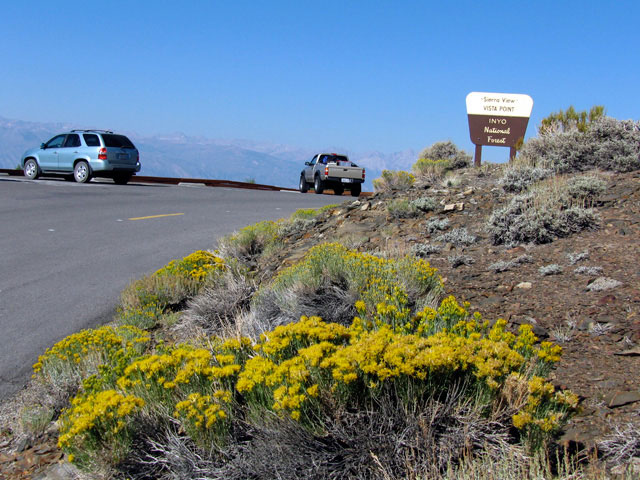
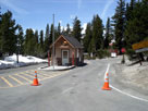
| ロード・サミット (Road Summits) [フォト・ギャラリー] |
|
 |
|
 |
|
 |
|
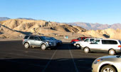
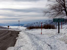
Sonora Pass
and CA 108 |
|
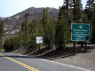
Conway Summit
and US 395 |
|
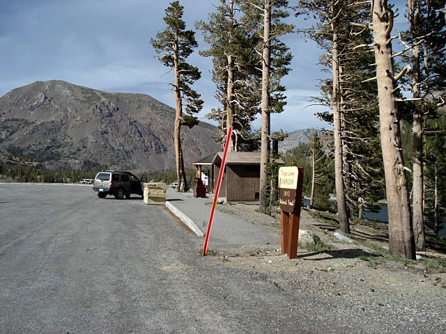
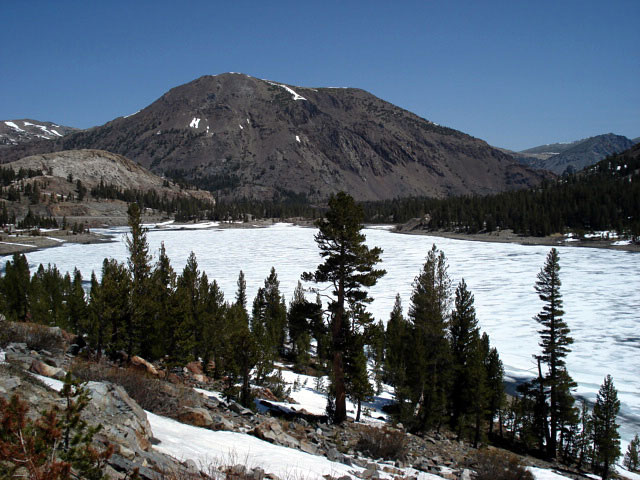
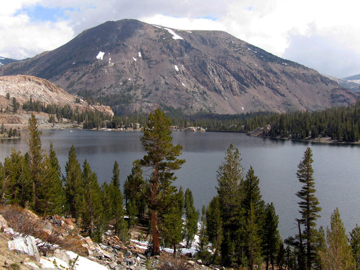
Tioga Pass
and CA 120 |
|
|
 |
|
 |
|
 |
|
Sagehen Summit
and CA 120 |
|
Minaret Summit
and CA 203 |
|
Walker Pass
and CA 178 |
|