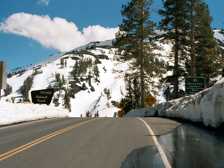
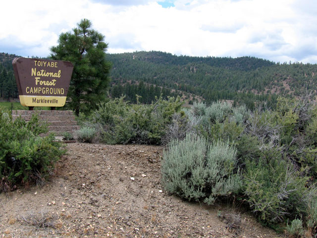
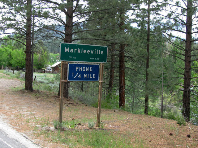
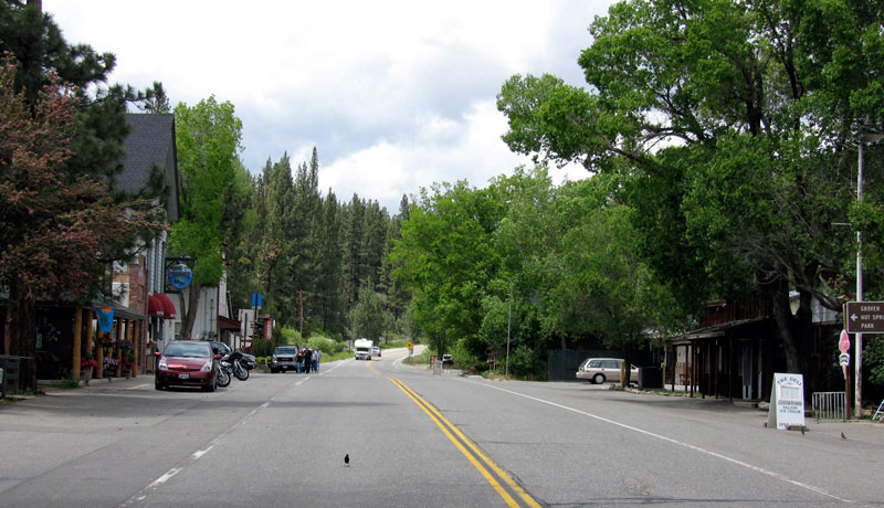
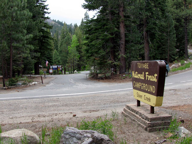
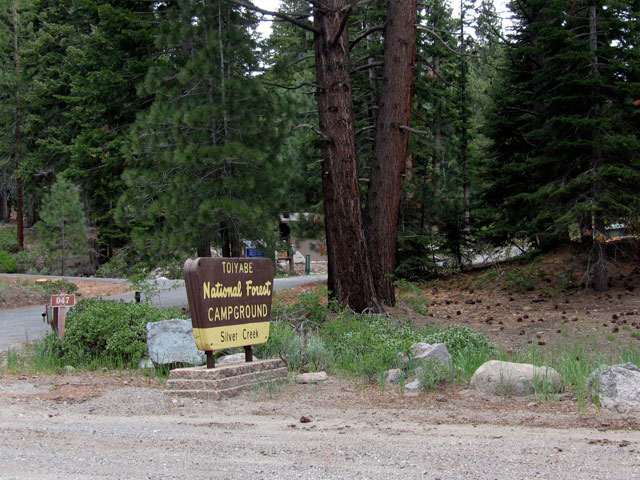
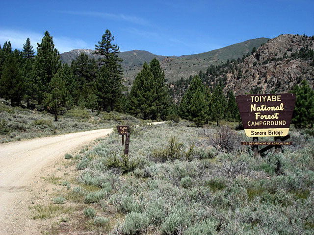
| Toiyabe National Forest |
 |
| (トイヤベ・ナショナル・フォレスト) |
|
|
|
|
|
|
|
|
|
|
|
|
|
|
|
|
|
|
|
|
|
|
|
|
|
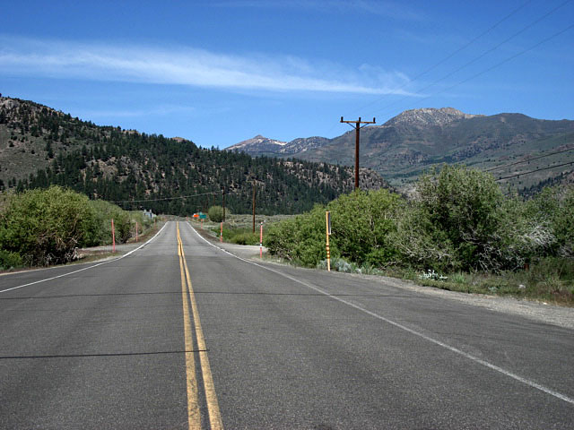
| Highway 88 (California State Route 88) |
|
| Forthcoming... |
|
|
|
|
|
|
|
|
|
|
|
|
|
|
|
|
|
|
|
|
|
|
|
|
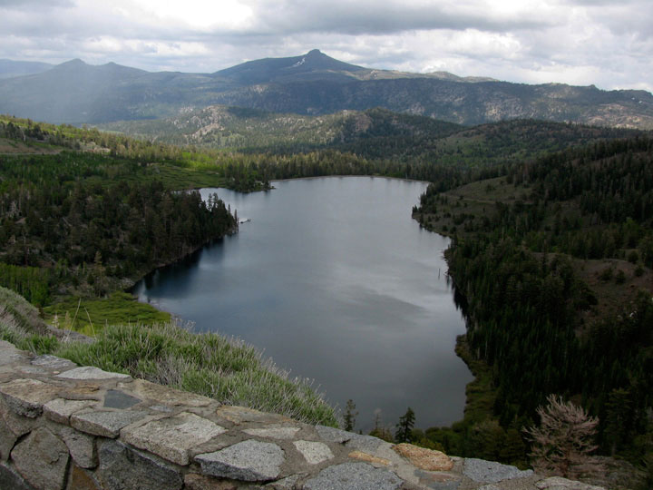
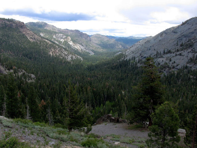
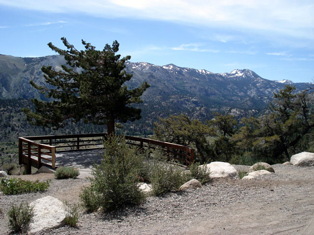
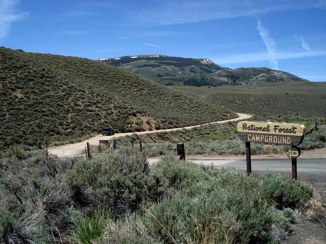
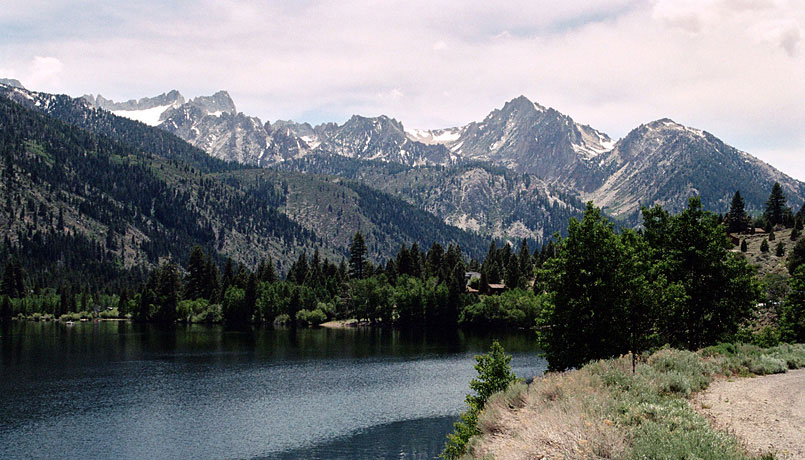
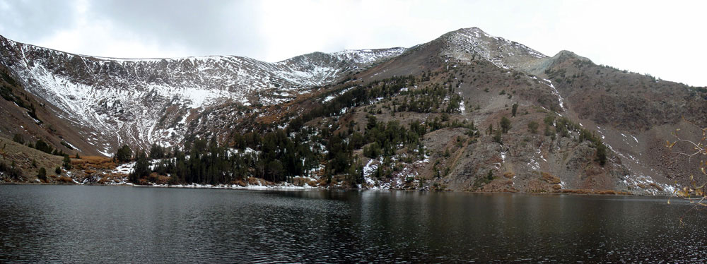
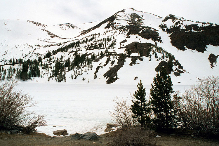
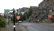
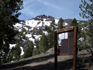
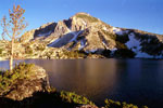
| Red Lake |
|
 |
|
|
|
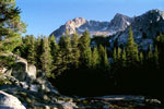
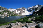
Red Lake from Highway
88 below Carson Pass |
|
|
|
|
|
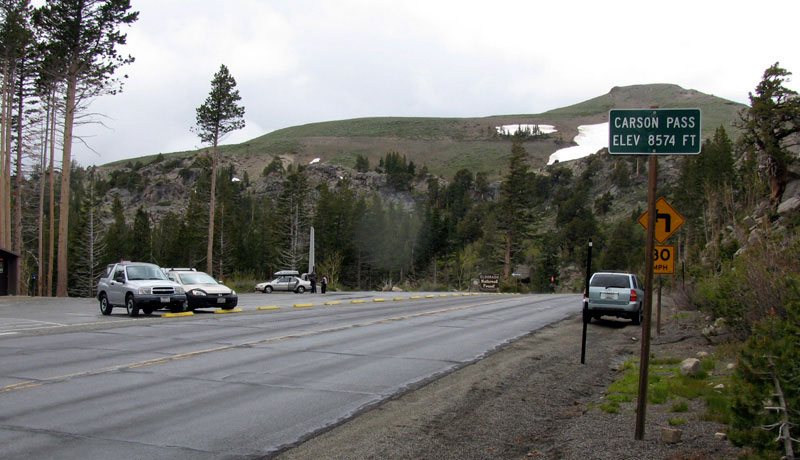
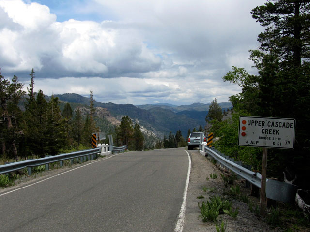
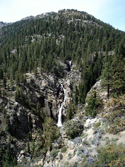
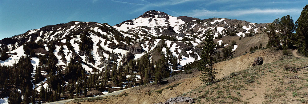
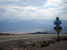
| Carson Pass |
|
 |
|
 |
|
Carson Pass and
Highway 88 (west) |
|
Carson Pass and
Highway 88 (east) |
|
|
|
|
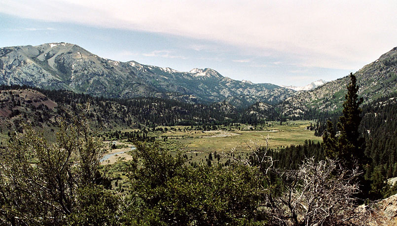
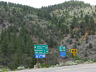
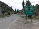
| Highway 89 (California State Route 89) |
|
 |
|
 |
|
 |
|
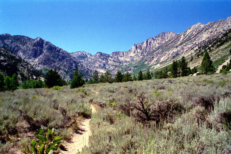
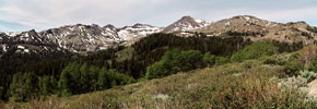
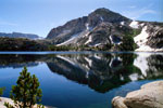
Antelope Valley and
Highway 89 (south) from
near Monitor Pass |
|
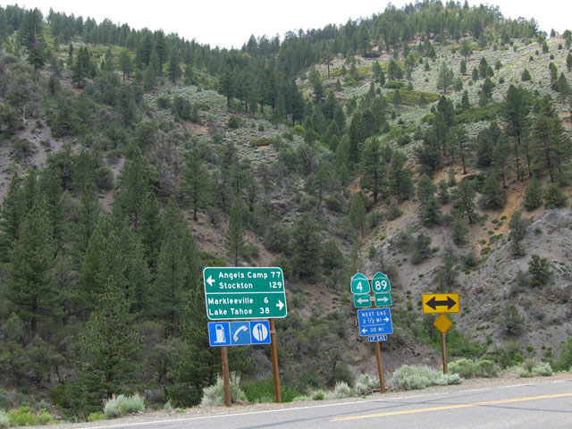
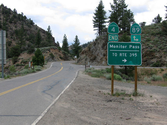
Highway 4 junction |
|
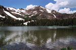
Highway 89 (south)
to Monitor Pass |
|
|
|
|
|
|
|
|
|
|
|
|
|
|
| Highway 4 (California State Route 4) |
|
 |
|
|
|
| Highway 89 junction |
|
|
|
|
|
|
|
|
|
|
|
|
|
|
|
|
|
|
|
|
|
|
|
|
|
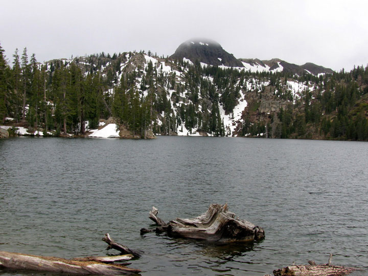
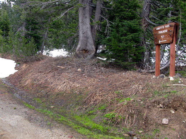
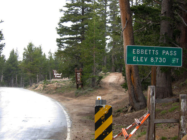
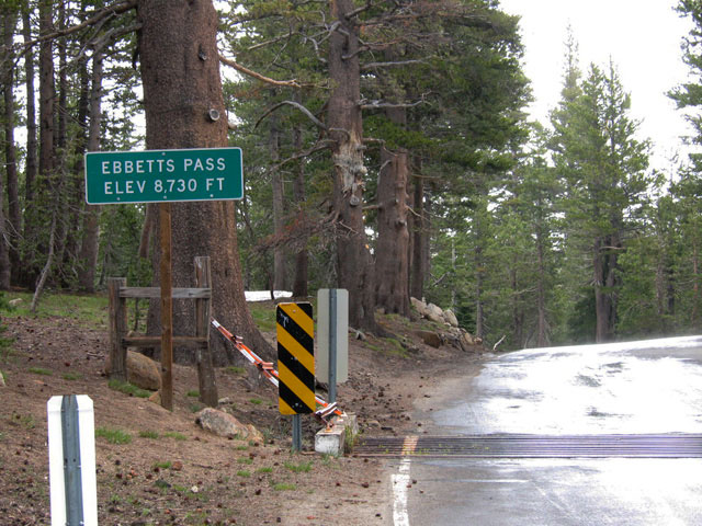
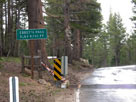
| Ebbetts Pass |
|
 |
|
 |
|
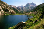
Ebbetts Pass and
Highway 4 (west) |
|
Ebbetts Pass and
Highway 4 (east) |
|
|
|
|
|
|
|
|
|
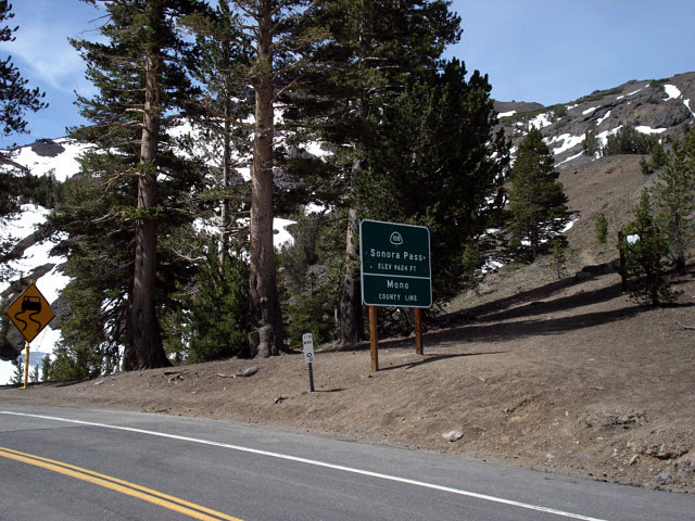
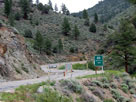
| Highway 108 (California State Route 108) |
|
 |
|
|
|
Highway 108 (west)
from Sonora Junction |
|
|
|
|
|
|
|
|
|
|
|
|
|
|
|
|
|
|
|
|
|
|
|
|
|
|
|
|
|
|
| Below Sonora Pass |
|
 |
|
Latopie Peak, Pacific Crest Peak (Peak
11,245)
and Peak 10,990+ (Hoover Wilderness)
from Highway 108 below Sonora Pass |
|
|
|
|
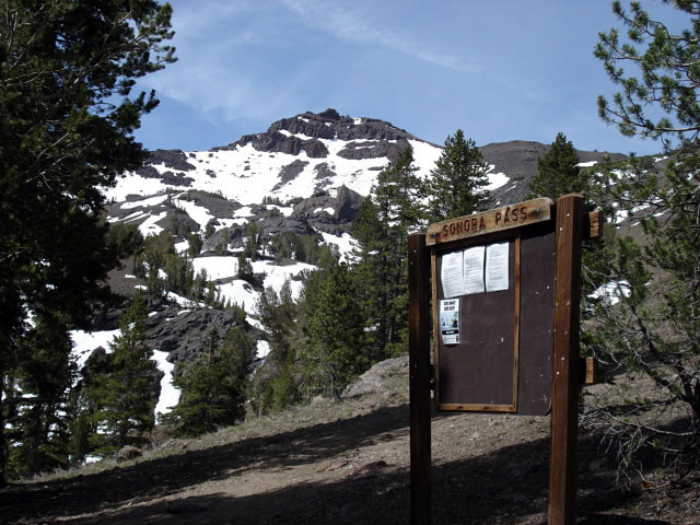
| Sonora Pass |
|
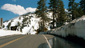 |
|
 |
|
 |
|
| Sonora Pass and Highway 108 (east) |
|
Pacific Crest Peak (Peak
11,245) and Pacific
Crest Trail (south) |
|
|
|
|
|
|
|
|
|
|
|
|
|
|
|
|
|
|
|
|
|
|
|
|
|
|
|
|
|
|
|
|
|
|
|
|
|
|
|
|
|
|
|
|
|
|
|
|
|
|
|
|
|
|
|
|
|
|
|
|
|
|
|
|
|
|
|
|
|
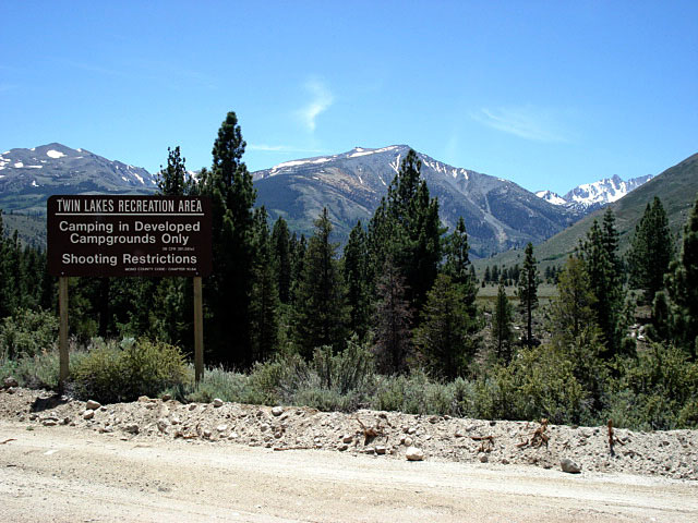
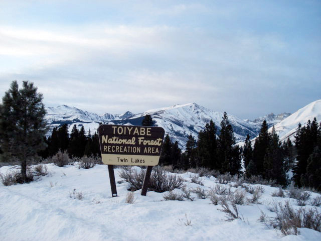
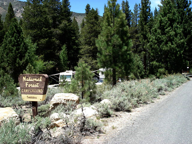
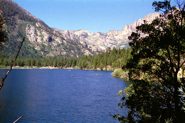
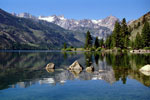
| Twin Lakes |
|
 |
|
 |
|
 |
|
Matterhorn Peak, Sawtooth
Ridge and Lower Twin Lake |
|
Sawtooth Ridge and
Lower Twin Lake |
|
Upper Twin Lake
and Mono Village |
|
|
|
|
|
|
|
|
|
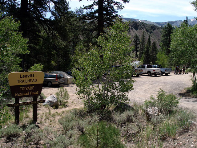
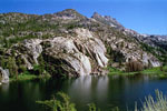
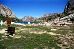
| Peeler Lake Trail |
|
 |
 |
|
|
 |
|
 |
|
 |
|
Kettle Peak and Barney Lake
from Peeler Lake Trail |
|
Crown Point from
Peeler Lake Trail |
|
Crown Point and Peeler Lake |
|
|
|
|
|
|
|
|
|
|
|
|
|
|
|
|
|
|
|
|
|
|
|
|
|
|
|
|
|
|
|
|
|
|
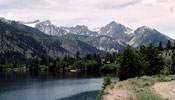
| Virginia Lakes |
|
 |
|
 |
|
Black Mountain and
Little Virginia Lake
(Little Valley) |
|
Black Mountain and Big Virginia Lake
(Big Valley Lake) |
|
|
|
|
|
|
|
|
|
|
|
|
|
|
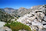
| Hoover Wilderness |
|
 |
 |
 |
|
|
 |
|
Pacific Crest Peak (Peak 11,245) and Hoover
Wilderness from above Sonora Pass |
|
|
 |
|
 |
|
 |
|
Crown Point
and Barney Lake |
|
Crown Point
and Peeler Lake |
|
Kettle Peak and
Crown Lake from
Rock Island Pass Trail |
|
|
 |
|
 |
|
 |
|
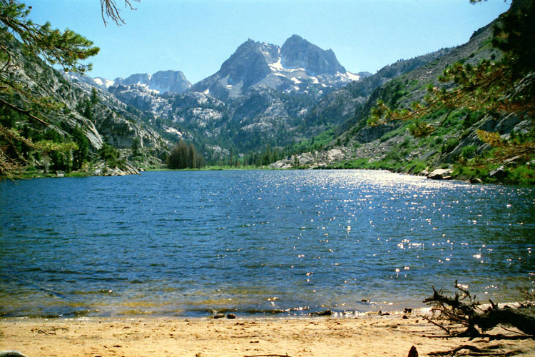
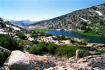
Rock Island Pass
and Snow Lake from
Rock Island Pass Trail |
|
Kettle Peak and Snow Lake
(Hoover Wilderness)
from Rock Island Pass |
|
Slide Mountain and unnamed
lake from Burro Pass
Trail below Mule Pass |
|
|
|
|
| Toiyabe National Forest の写真 ON WEB |
|
| 写真 |
|
|
| Photo Galleries |
|
 |
|
| Photos |
 |
 |
 |
 |
 |
 |
 |
 |
 |
 |
|
|
|
|
|
|
|
|
|
|
|
 |
|
|
|