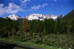
| Lee Vining Canyon Scenic Byway |
 |
|
|
|
|
|
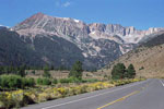
| Highway 395 (U.S. Route 395) |
|
 |
|
 |
|
 |
|
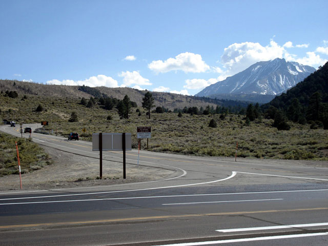
Mt. Dana, Highway 120
and Highway 395,
near Lee Vining |
|
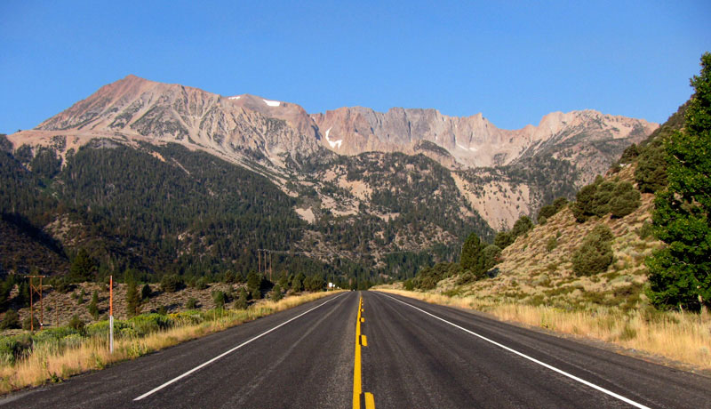
Mono Lake and Highway 395 from Highway 120 |
|
|
|
|
| Highway 120 (California State Route 120) - Tioga Pass Road |
|
 |
|
 |
|
|
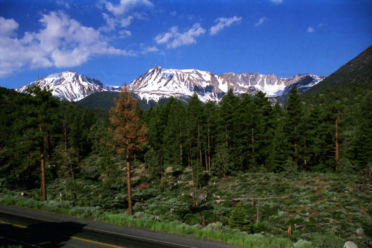
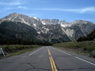
Mt. Gibbs and Mt. Dana
from Highway 120 |
|
Mount Dana, Dana Crest
and Highway 120 |
|
|
|
 |
|
 |
|
| Mount Dana, Dana Crest and Highway 120 |
|
|
|
|
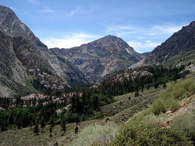
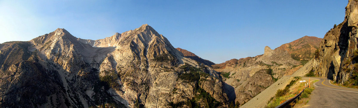
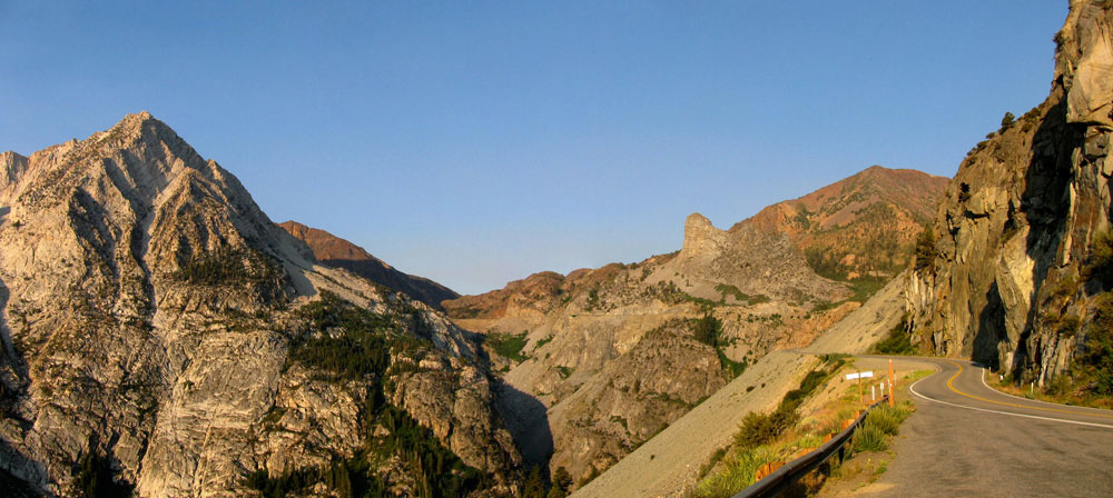
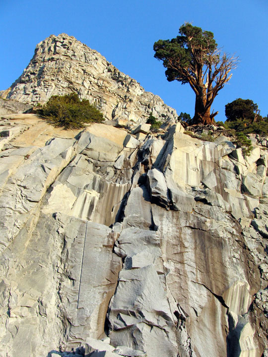
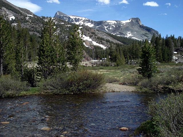
| Lee Vining Canyon |
|
 |
|
 |
|
 |
|
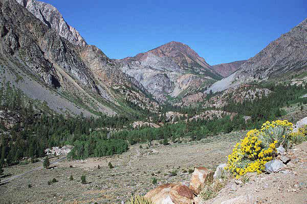
Tioga Peak, Lee Vining Canyon and Poole Power Plant Road
from Highway 120 |
|
|
 |
|
|
|
Tioga Peak and Lee Vining
Canyon from Highway 120 |
|
|
|
 |
|
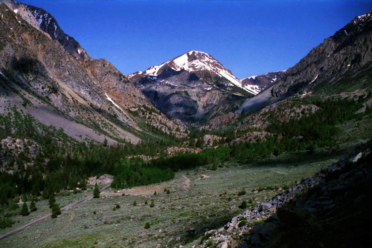
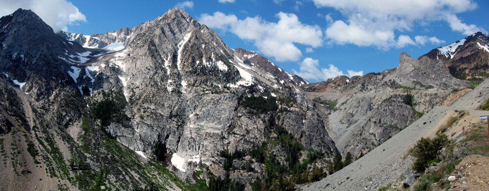
Peak 11,403 (Dana Crest), Lee Vining Canyon
and Highway 120 |
|
|
|
 |
|
|
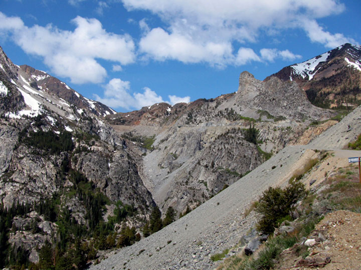
Lee Vining Canyon and Highway 120 |
|
|
 |
|
 |
|
Peak 11,403 (Dana Crest), Lee Vining Canyon
and Highway 120 |
|
|
|
|
|
|
|
|
 |
|
 |
|
 |
|
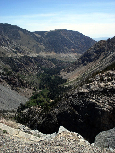
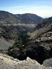
Lee Vining Canyon
and Highway 120 |
|
|
|
|
|
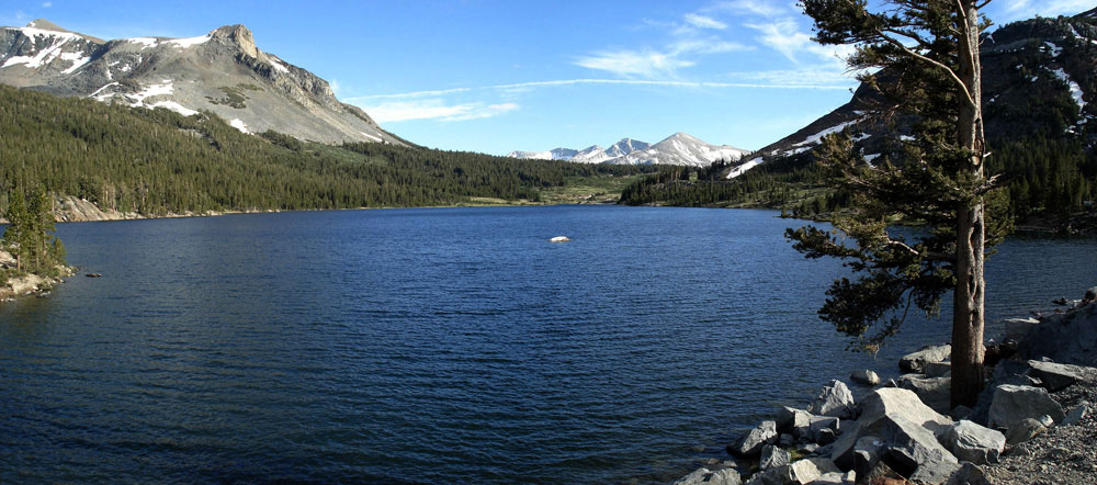
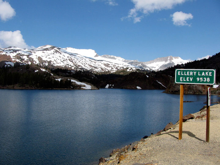
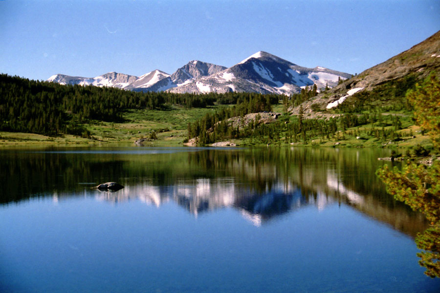
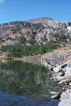
| Ellery Lake |
|
 |
|
 |
|
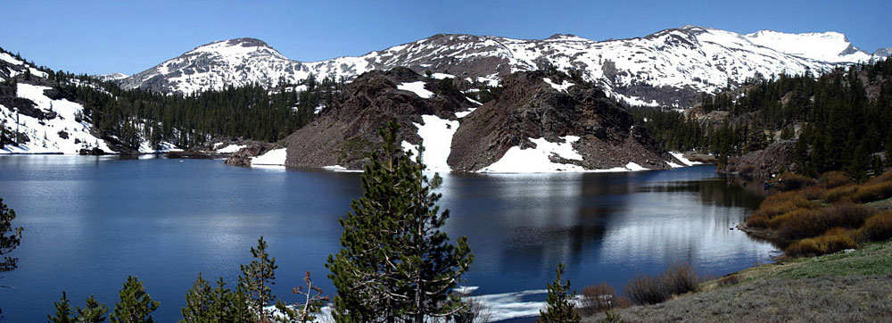
| White Mountain, Mt. Conness (southeast peak) and Ellery Lake |
|
|
 |
|
 |
|
| Gaylor Peak, White Mountain and Ellery Lake |
|
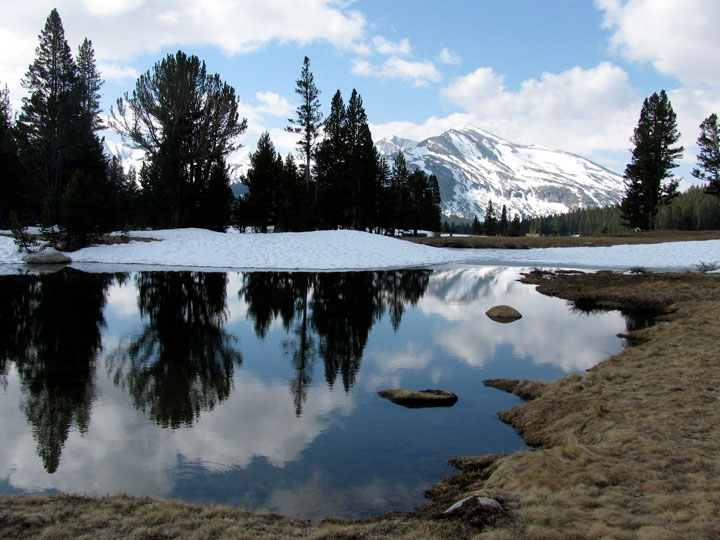
Peak 11,403 (Dana Crest)
and Ellery Lake |
|
|
|
|
|
|
|
|
|
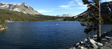
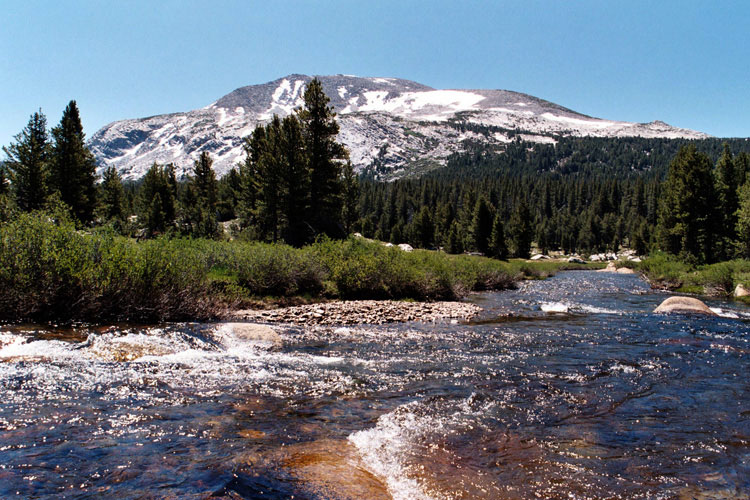
| Lee Vining Creek |
|
 |
|
 |
|
 |
|
Mount Dana, Tioga Pass Road, Tioga Pass Resort
and Lee Vining Creek near Tioga Junction |
|
|
|
|
|
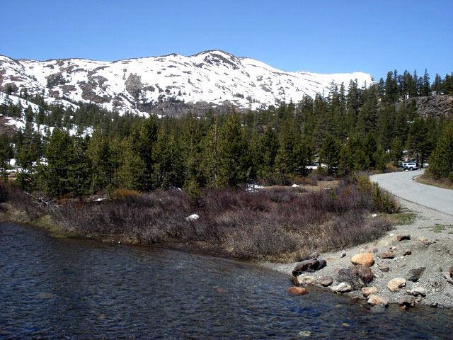
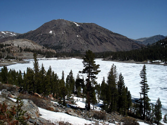
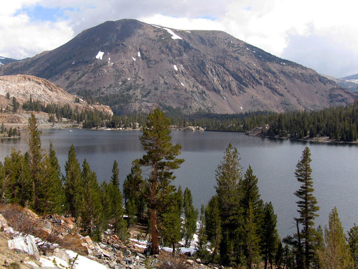
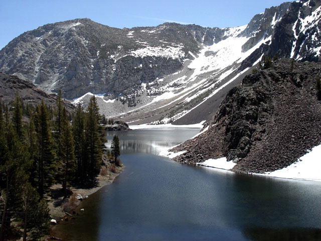
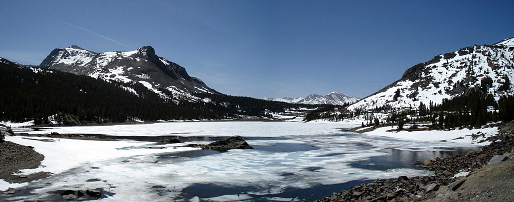
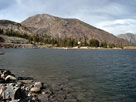
| Tioga Lake |
|
 |
|
 |
|
Mount Dana, Mammoth Peak, Tioga Pass
and Tioga Lake |
|
Mammoth Peak, Tioga Pass
and Tioga Lake |
|
|
 |
|
 |
|
 |
|
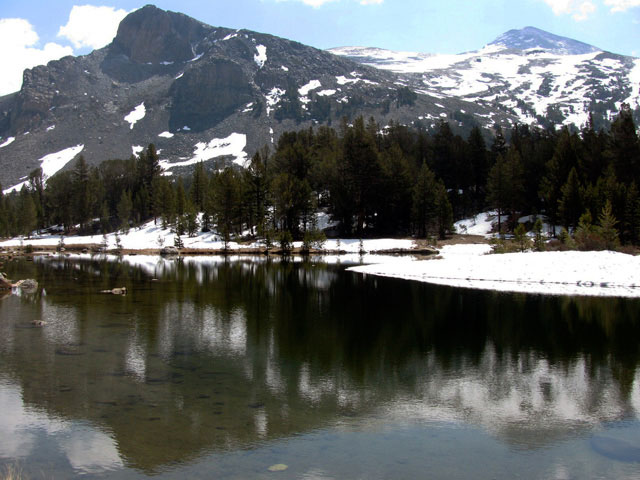
| Gaylor Peak |
|
Tioga Peak |
|
Mount Dana, Mammoth Peak, Tioga Pass
and Tioga Lake |
|
|
|
|
|
|
|
|
|
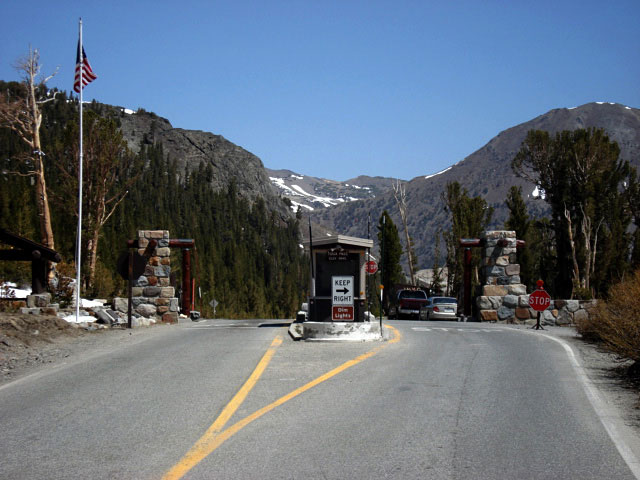
| Tioga Pass |
|
 |
|
 |
|
 |
|
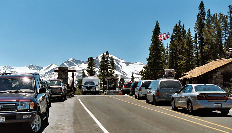
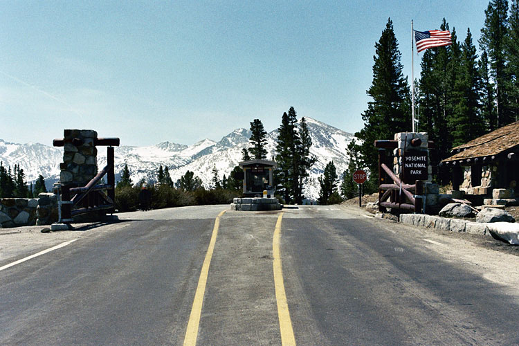
Tioga Pass Entrance, Yosemite National Park
and Highway 120 |
|
Tioga Peak and Highway
120 from Tioga Pass |
|
|
|
|
|
|
|
|
|
| Tioga Road/Big Oak Flat Road Scenic Byway |
|
 |
|
 |
|
 |
|
Gaylor Peak and Tioga Peak
from Upper Dana Meadow |
|
Mammoth Peak and Dana
Fork (Dana Meadows) |
|
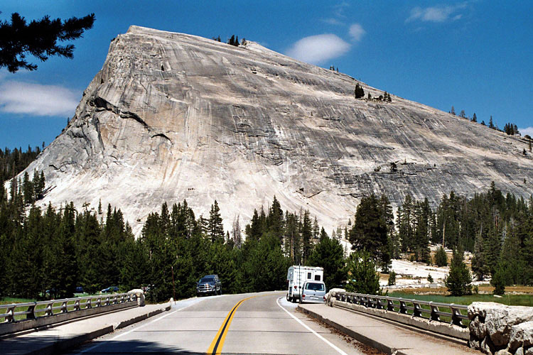
Lembert Dome and
Tuolumne Meadows Bridge |
|
|
|
|
| Lee Vining Canyon Scenic Byway の写真 ON WEB |
|
| 写真 |
|
|
| Photo Galleries |
 |
 |
|
| Photos |
 |
 |
 |
 |
 |
|
|
|