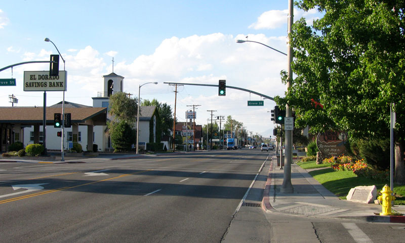
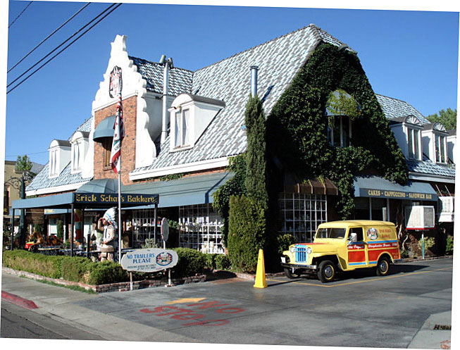
| ビショップ |
 |
| (Bishop) |
|
|
|
|
|
|
|
|
|
|
|
|
|
|
|
|
|
|
|
|
|
|
|
|
|
|
|
|
|
|
 |
|
 |
|
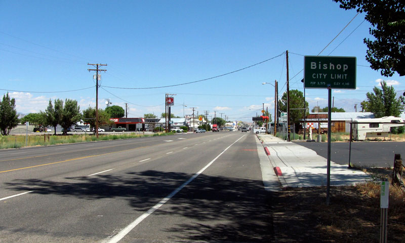
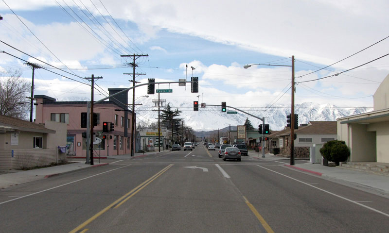
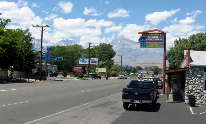
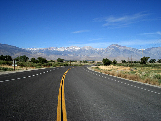
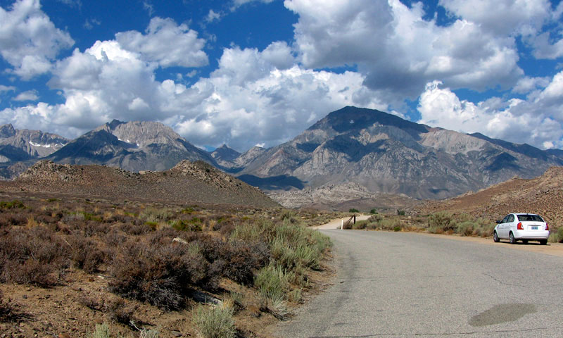
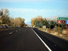
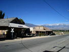
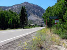
South Main Street (US 395
north, CA 168 west) |
|
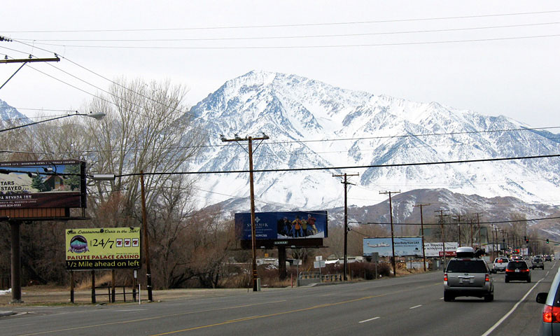
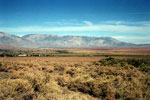
White Mountains
and US 395 (north) |
|
|
|
|
|
|
|
 |
|
 |
|
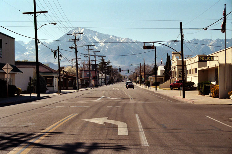
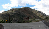
| Mount Tom and N. Sierra Way (US 395 north) |
|
|
|
|
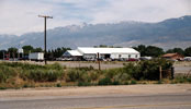
| Ed Powers Road |
|
 |
|
|
 |
|
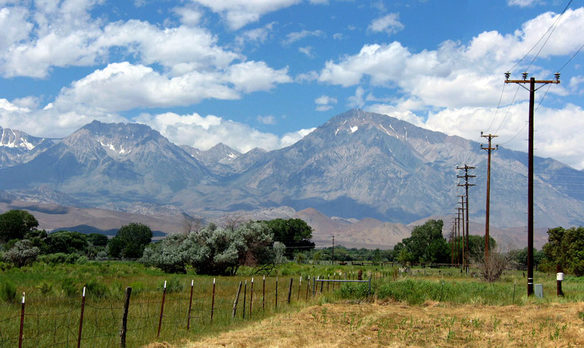
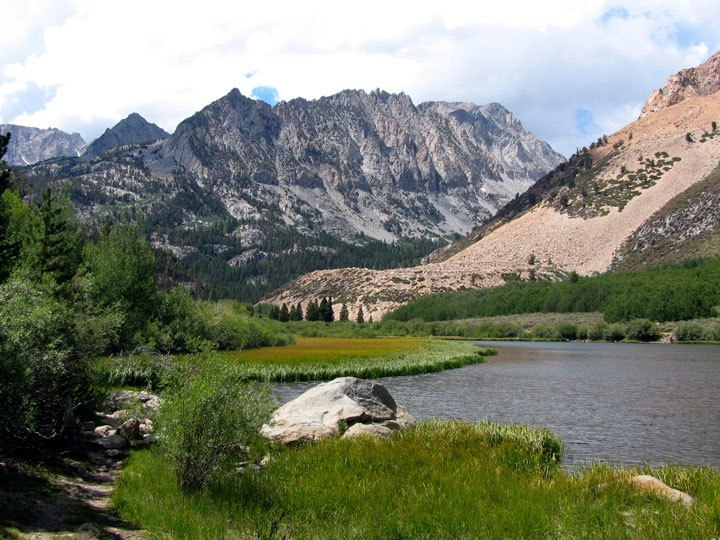
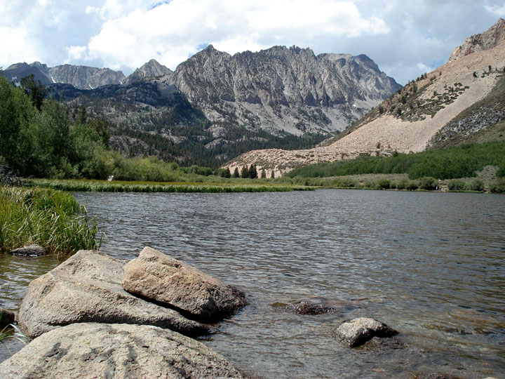
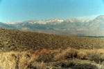
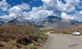
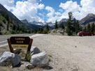
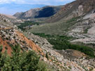
Mount Humphreys, Basin
Mountain and Mount Tom from
Ed Powers Road off Highway 395 |
|
|
|
|
|
|
|
|
|
|
|
|
|
|
|
|
|
|
|
|
|
|
|
|
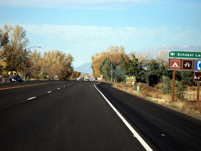
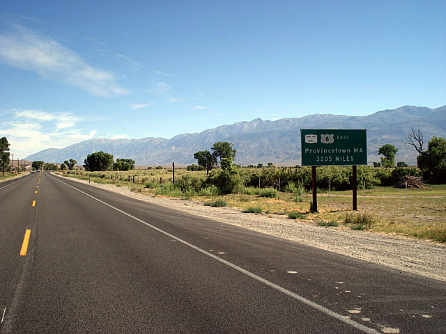
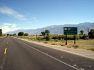
| Highway 6 (U.S. Route 6) |
|
 |
 |
|
|
 |
|
 |
|
 |
|
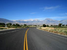
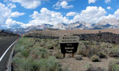
White Mountain Peak and
Highway 6 from Wye Road |
|
White Mountains
and Highway 6 |
|
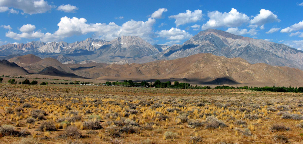
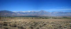
Sierra Nevada (Mount
Humphreys, Basin
Mountain and Mount
Tom) from Highway 6 |
|
|
|
|
|
|
|
|
|
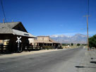
| Laws |
|
 |
|
 |
|
| Laws Railroad Museum and Silver Canyon Road |
|
|
|
|
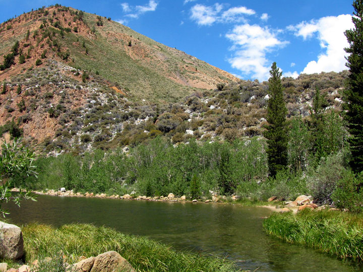
| Silver Canyon Road |
|
 |
|
 |
|
 |
|
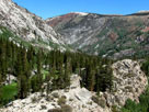
Mount Humphreys and
Basin Mountain from
Silver Canyon Road |
|
Mount Humphreys, Basin
Mountain, Mount Tom
and Wheeler Ridge |
|
Wheeler Ridge from
Silver Canyon Road |
|
|
|
|
|
|
|
|
|
|
|
|
|
|
| Buttermilk Road |
|
 |
|
|
|
Basin Mountain, Mount Tom
and Buttermilk Road
off Highway 168 |
|
|
|
|
|
| Highway 168 (California State Route 168) |
|
 |
|
 |
|
 |
|
Mount Humphreys and Basin
Mountain from Highway 168 |
|
Highway 168
into Aspendell |
|
Highway 168 and
North Lake Road |
|
|
|
|
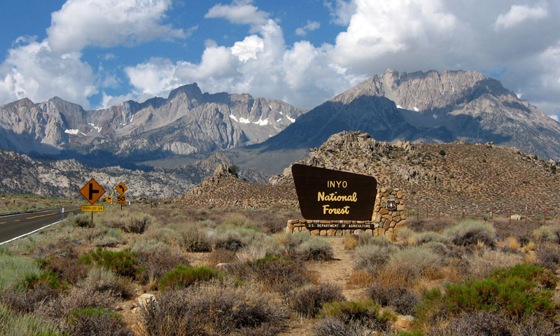
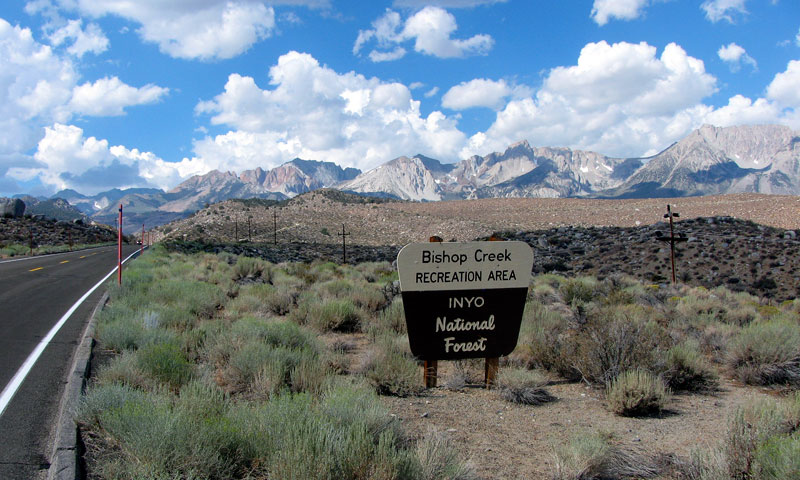
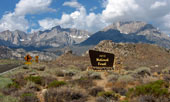
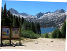
| Bishop Creek Recreation Area (Inyo National Forest) |
|
 |
|
 |
|
 |
|
Checkered Demon, Mount
Humphreys, Basin
Mountain and Highway 168 into
Bishop Creek Recreation Area |
|
Bishop Creek 104-033
Dam and Intake II
(Intake 2 Picnic Site) |
|
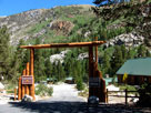
Bishop Park
Campground entrance
from Highway 168 |
|
|
|
|
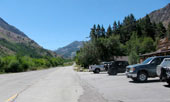
| South Lake Recreational Area |
|
 |
|
 |
|
 |
|
South Lake Road
and Highway 168 |
|
South Lake Road and
Bishop Creek Lodge |
|
Parchers Resort entrance
from South Lake Road |
|
|
|
|
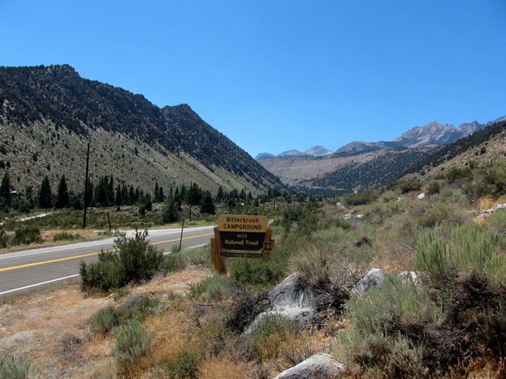
| Bishop Creek Canyon |
|
 |
|
 |
|
 |
|
Bitterbrush Campground
entrance and Hwy 168
into Bishop Creek Canyon |
|
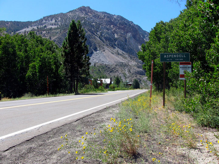
Aspendell, Jawbone
Canyon and Highway 168
from North Lake Road |
|
South Fork Bishop
Creek from Hillside
104-030 Dam |
|
|
|
|
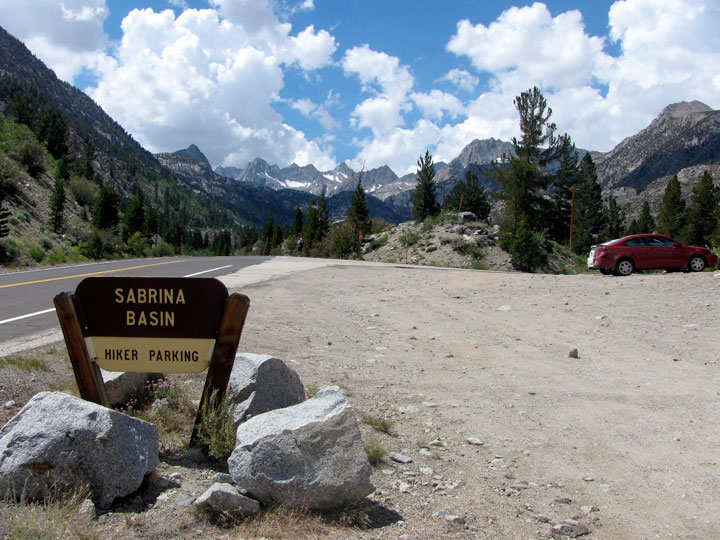
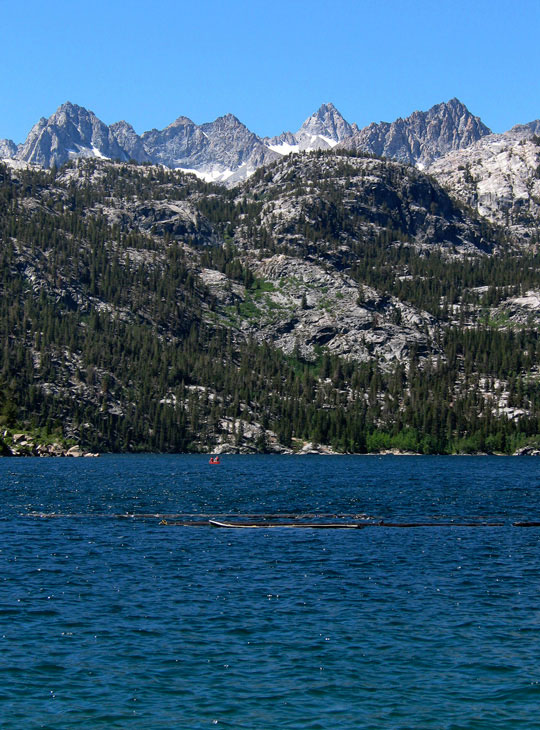
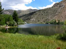
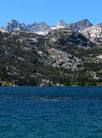
| Lake Sabrina |
|
 |
|
 |
|
 |
|
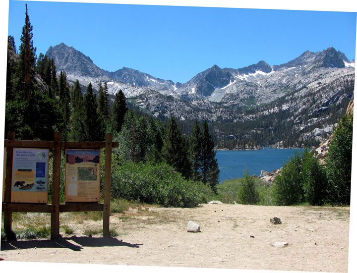
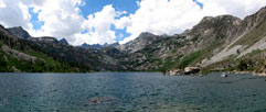
Lake Sabrina
(Lake Sabrina Roadend) |
|
Lake Sabrina from Sabrina 104-032 Dam |
|
Picture Peak
and Mt. Haeckel |
|
|
|
|
| North Lake |
|
 |
|
 |
|
 |
|
| Piute Crags and North Lake |
|
Peak 10,594 and
North Lake outlet (North
Fork Bishop Creek) |
|
|
|
|
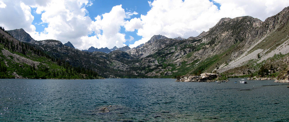
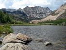
| South Lake |
|
 |
|
 |
|
 |
|
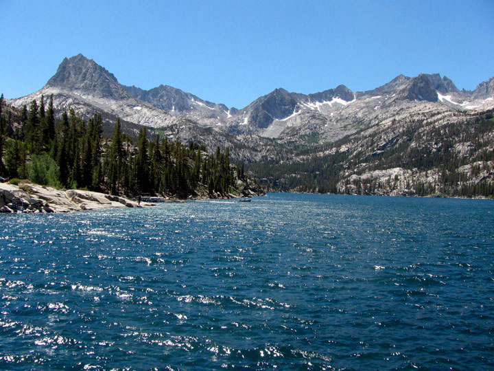
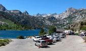
South Lake,
Hillside 104-030 Dam
and South Lake Road |
|
Hurd Peak, Mount
Johnson, Mount Gilbert
and South Lake from
Hillside 104-030 Dam |
|
South Lake and
Bishop Pass Trailead |
|
|
|
|
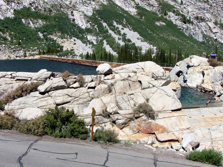
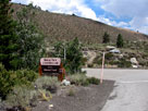
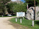
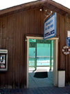
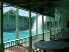
| Keough Hot Springs |
|
 |
|
 |
|
 |
|
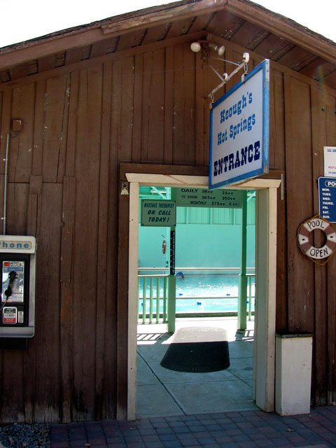
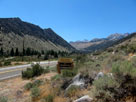
Keough Hot Springs Road
off Highway 395,
south of Bishop |
|
Keough's Hot Springs |
|
|
|
|
| ビショップ (Bishop) の写真 ON WEB |
|
| 写真 |
|
|
| Photo Galleries |
 |
 |
|
| Photos |
 |
|
 |
 |
|
 |
 |
 |
 |
 |
 |
|
|
|