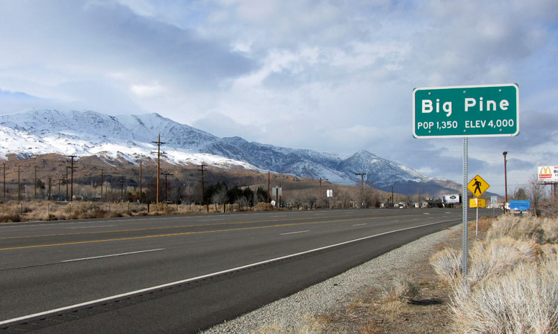
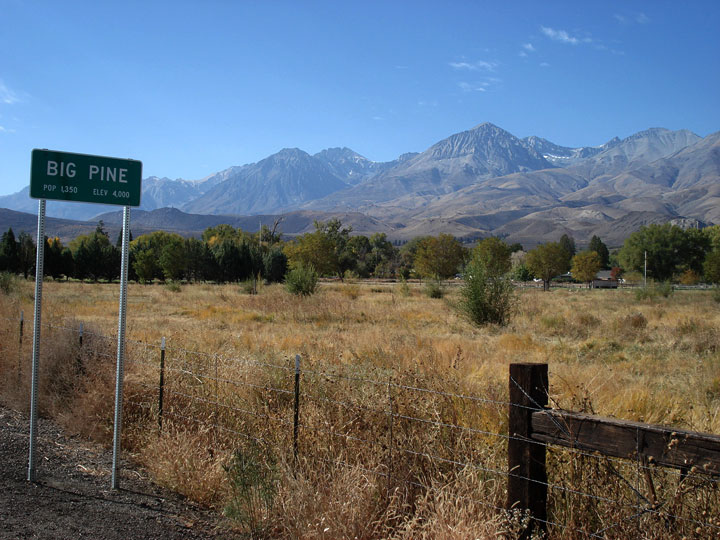
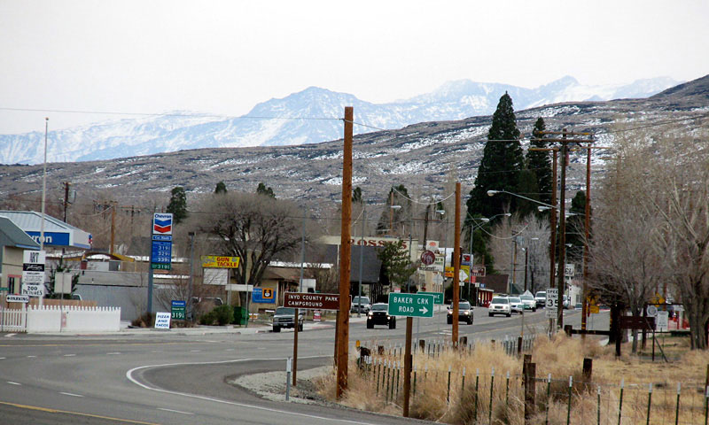
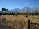
| Big Pine |
 |
|
|
|
|
|
|
|
|
|
|
|
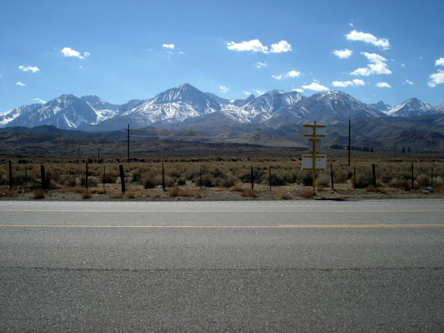
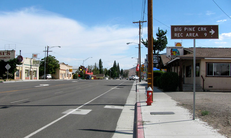
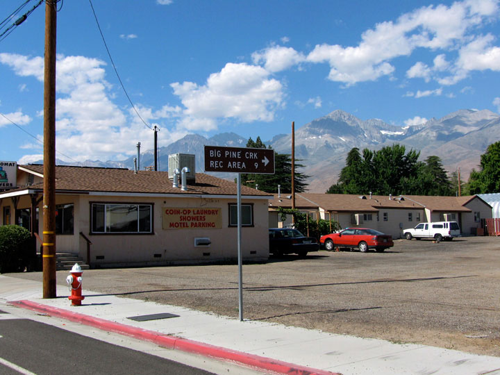
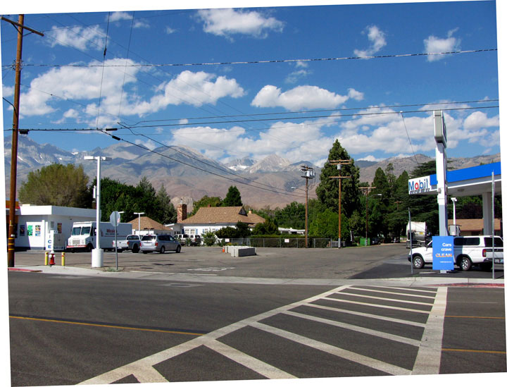
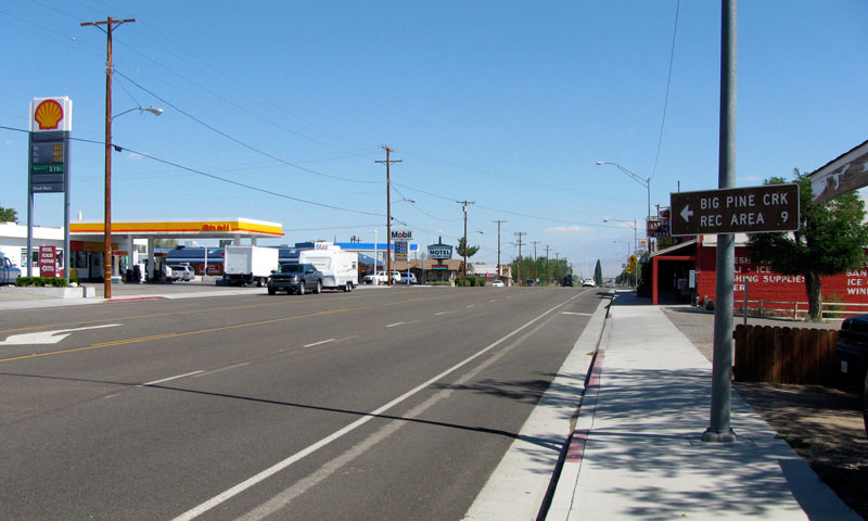
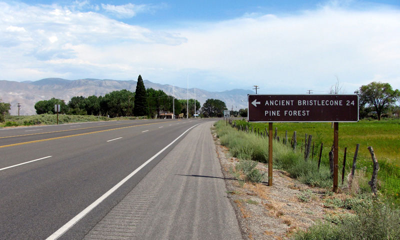
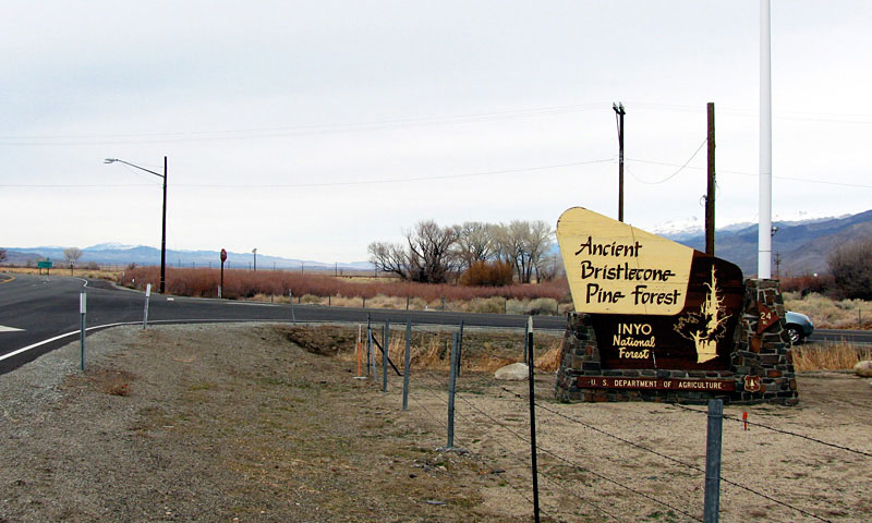
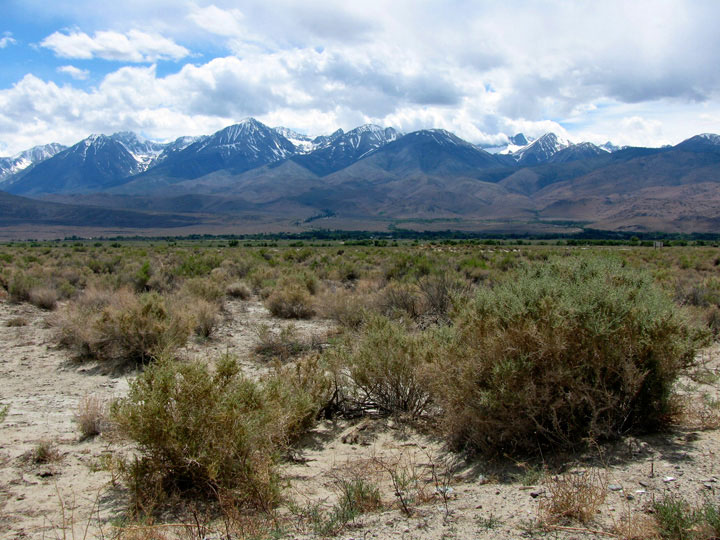
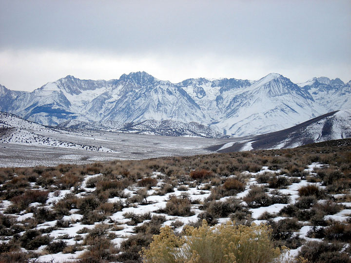
| Highway 395 (U.S. Route 395) |
|
 |
|
 |
|
 |
|
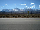
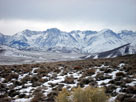
Mount Tinemaha, Split
Mountain and Birch
Mountain from U.S. 395 |
|
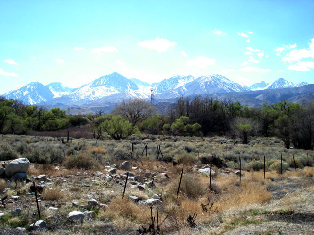
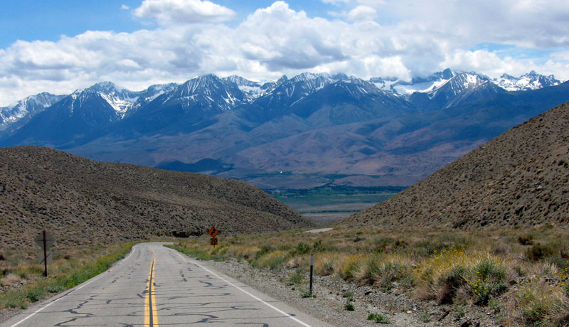
Mount Tinemaha, Split Mountain and Birch
Mountain from Hwy 395 near Big Pine |
|
|
|
|
|
|
|
|
|
|
|
|
|
|
|
|
|
|
|
|
|
|
|
|
|
|
|
|
|
|
|
|
|
|
|
|
|
|
|
|
|
|
|
|
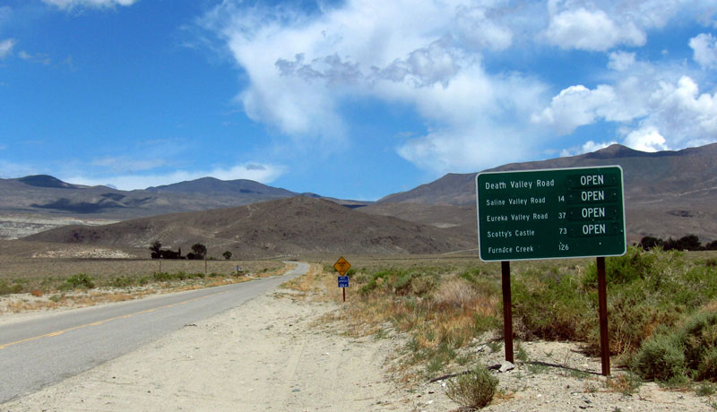
| Death Valley Road |
|
 |
|
|
 |
|
 |
|
 |
|
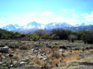
Death Valley Road
off Highway 168 |
|
The Palisades from
Death Valley Road/
Highway 168 junction |
|
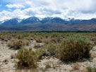
Split Mountain from
Death Valley Road |
|
|
|
|
|
|
|
|
|
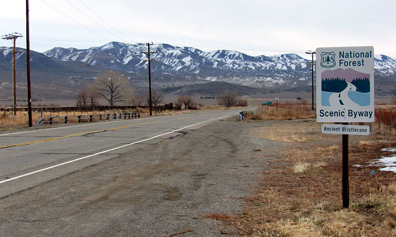
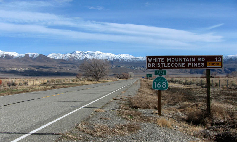
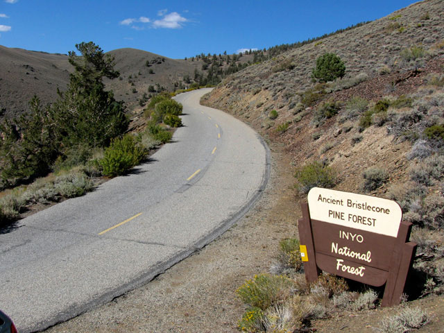
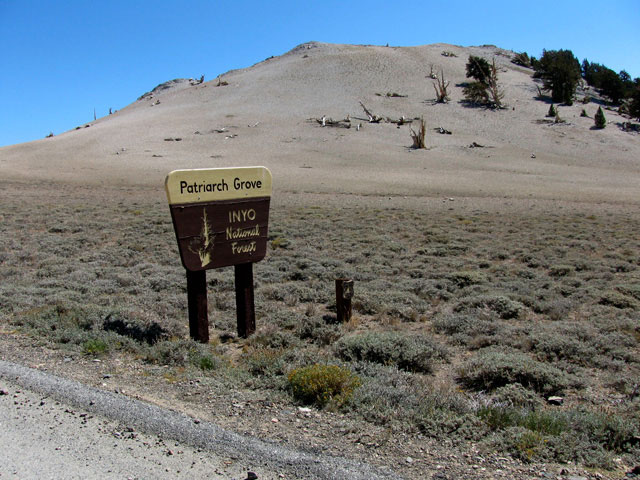
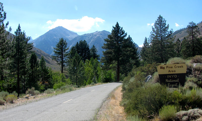
| White Mountain Road |
|
|
|
|
 |
|
 |
|
 |
|
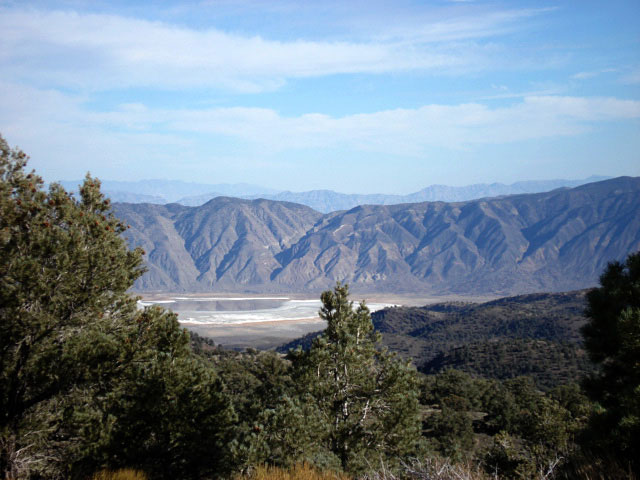
Fish Lake Valley (?) from
White Mountain Road |
|
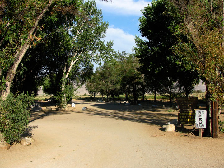
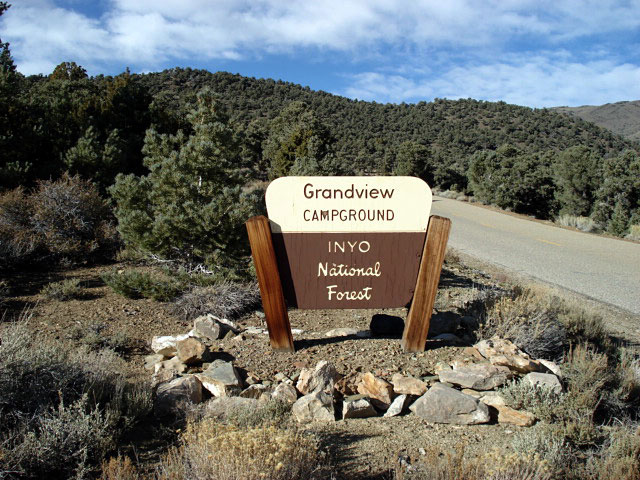
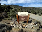
Grandview Campground
entrance and White
Mountain Road |
|
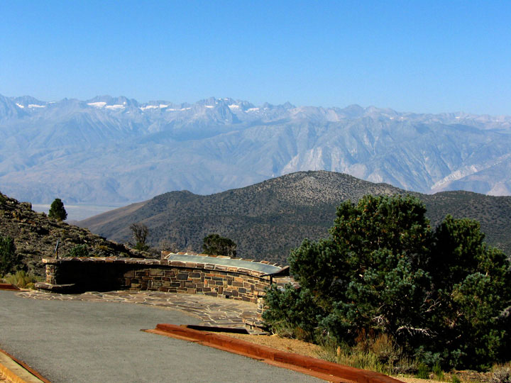
Sierra View (Sierra
View Vista Point) |
|
|
|
|
|
|
|
|
|
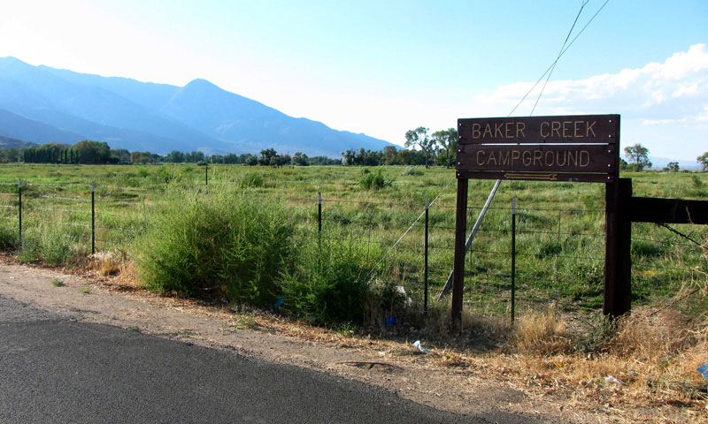
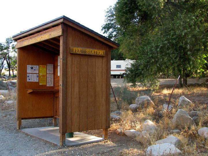
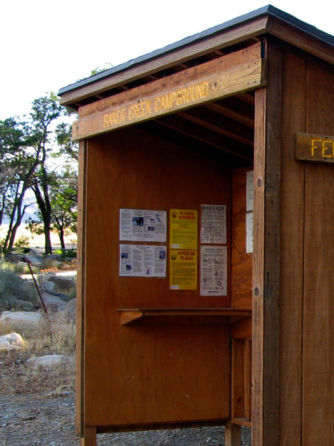
| Baker Creek Road |
|
|
|
|
 |
|
 |
|
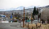
Big Pine and Highway 395 (south)
from Baker Creek Road |
|
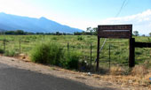
Baker Creek Road
off Highway 395 |
|
|
|
|
|
|
|
|
|
|
|
|
|
|
|
|
|
|
|
|
|
|
|
|
|
|
|
|
|
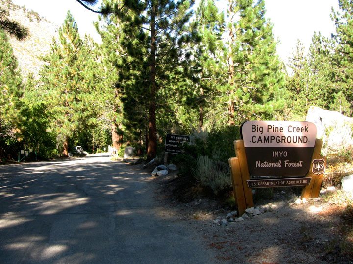
| Big Pine Canyon |
|
 |
|
 |
|
 |
|
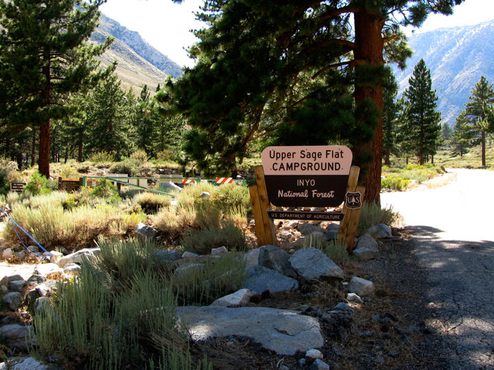
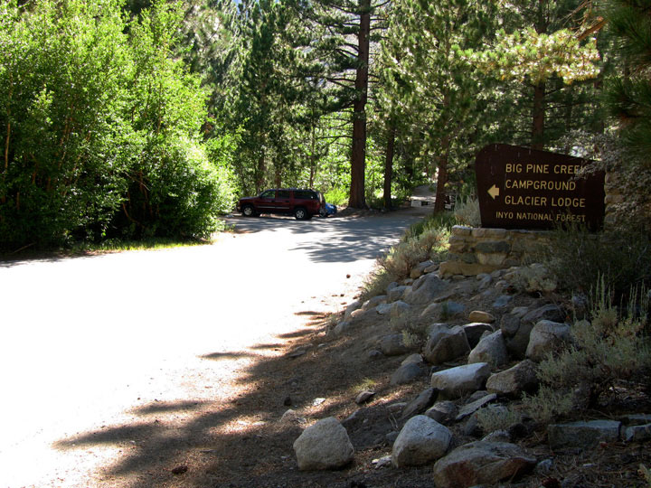
Upper Sage Flat
Campground entrance
and Glacier Lodge Road |
|
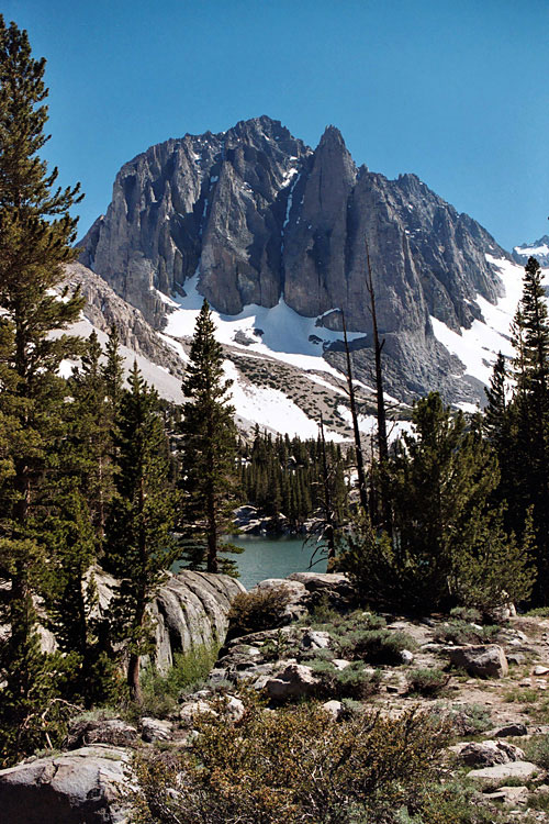
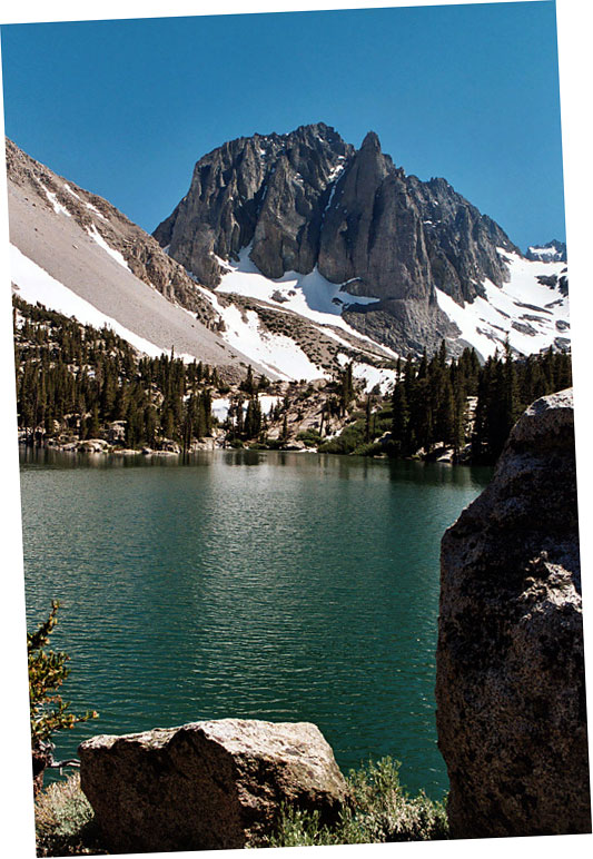
Mt. Gayley(?), Mt. Alice(?)
and Glacier Lodge Road |
|
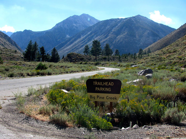
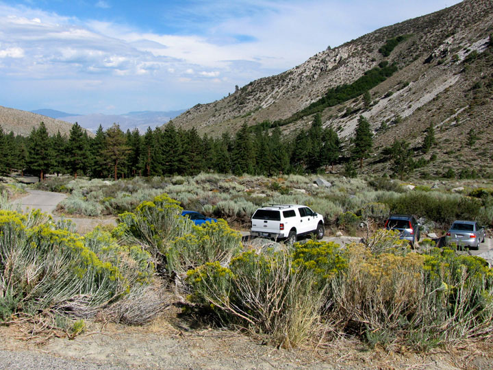
Big Pine Creek Trailhead
(North Fork Big Pine
Creek Trailhead) |
|
|
|
|
|
|
|
|
|
| Big Pine Creek Trailhead |
|
 |
|
 |
|
 |
|
| Big Pine Creek Trailhead |
|
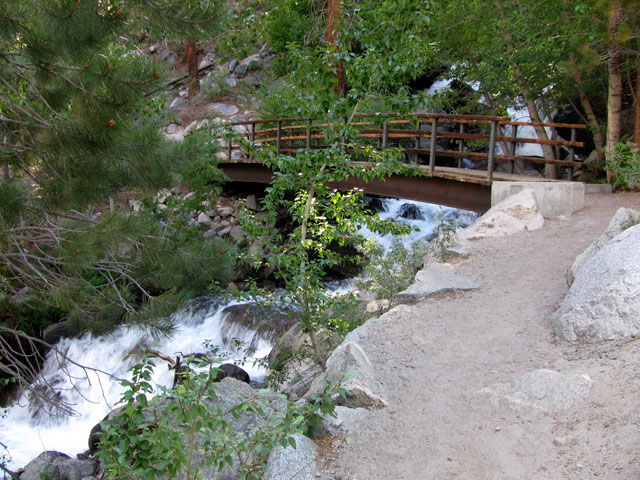
Footbridge over North
Fork Big Pine Creek |
|
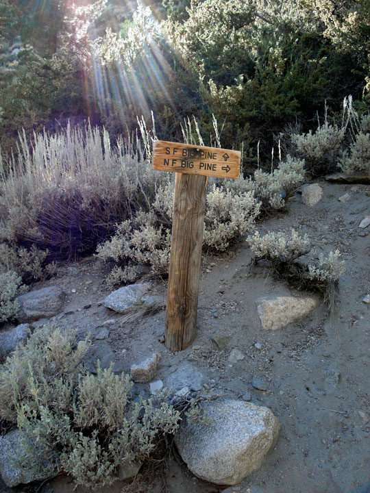
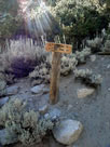
South Fork Trail
and North Fork Trail |
|
|
|
|
|
|
|
|
|
| Big Pine Photos on Web |
|
|
|
|