| デス・バレーのハイウェイ |
 |
| (Highways of Death Valley) |
|
|
|
|
|
|
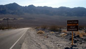
| Highway 190 (California State Route 190) |
|
 |
 |
|
|
 |
|
 |
|
 |
|
Highway 190 entering
Death Valley National Park |
|
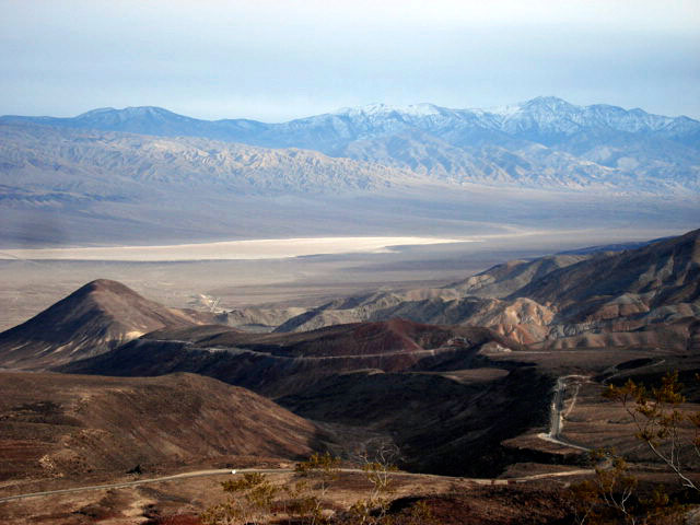
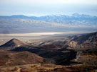
Panamint Valley and
Highway 190 from
Father Crowley Vista |
|
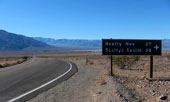
Highway 190 near
Scottys Castle Road junction |
|
|
 |
|
 |
|
 |
|
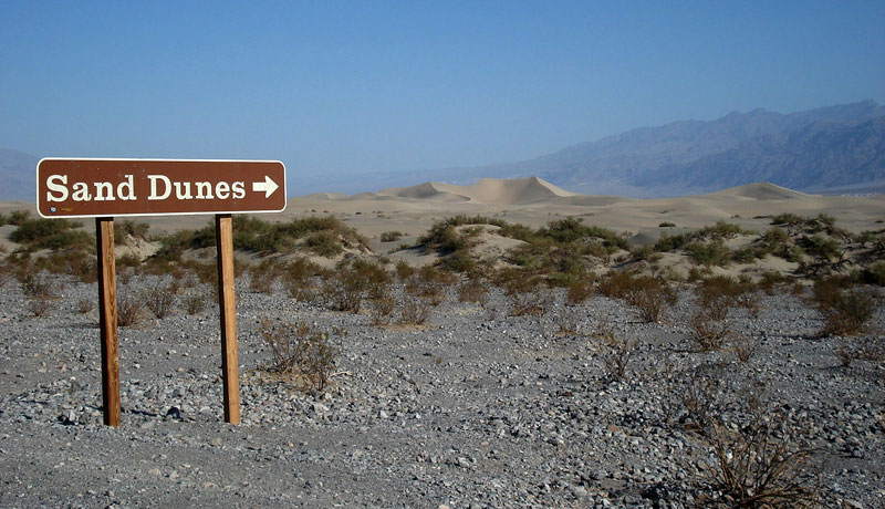
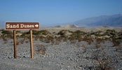
Mesquite Flat Sand Dunes
from Highway 190 |
|
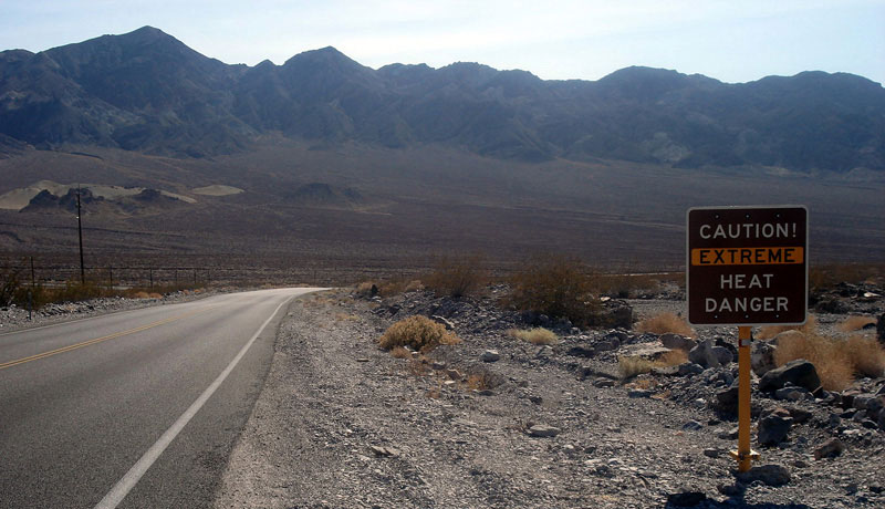
Black Mountains and
Highway 190 (west) |
|
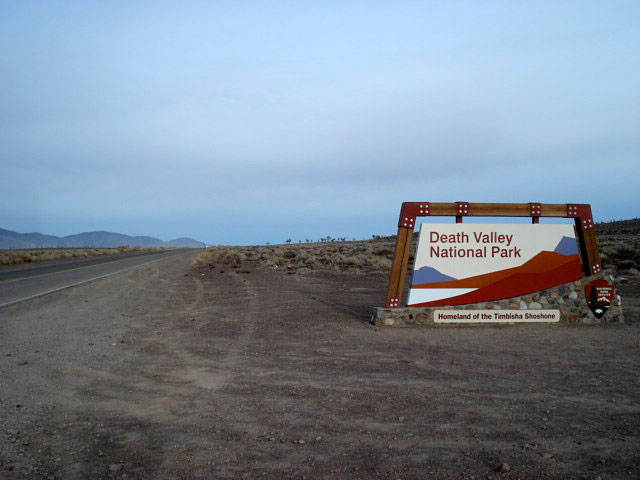
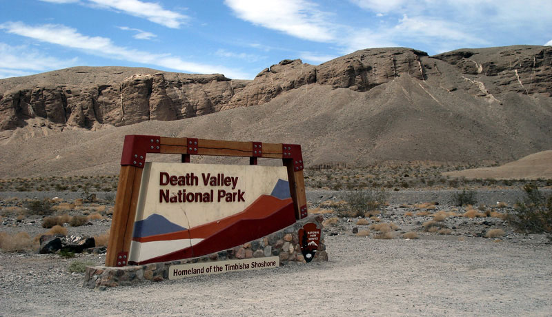
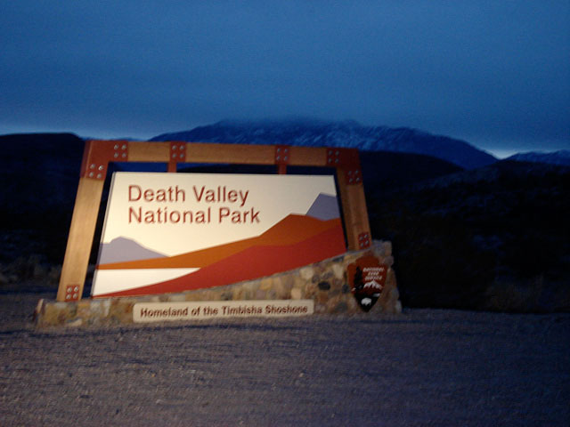
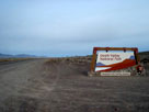
Death Valley National Park
entrance off Highway 190 |
|
|
|
|
| Highway 178 (California State Route 178) |
|
|
|
|
|
 |
|
|
|
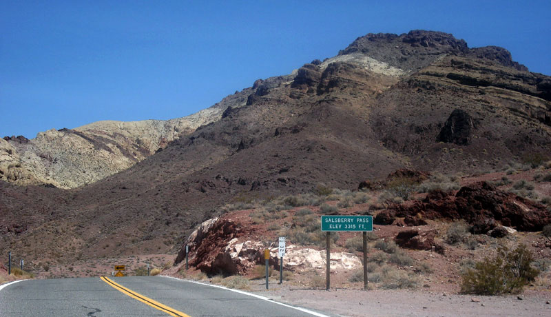
Salsberry Pass and
Jubilee Pass Road (CA 178) |
|
|
|
|
|
| Highway 127 (California State Route 127) |
|
|
|
|
|
 |
|
|
|
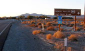
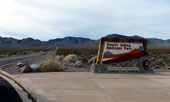
CA 127 (south) and CA 190,
Death Valley Junction |
|
|
|
|
|
| Highway 374 (Nevada State Route 374) |
|
|
|
|
|
 |
|
 |
|
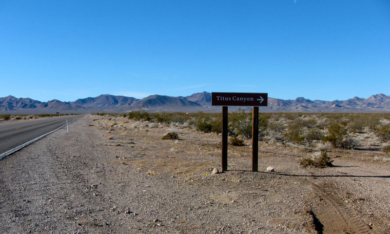
NV 374 (west) and
Titus Canyon Road Junction |
|
Daylight Pass Road (NV 374)
entering Death Valley Nat'l Park |
|
|
|
|
| Highway 267 (Nevada State Route 267) |
|
|
|
|
|
 |
|
|
|
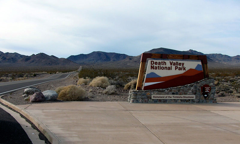
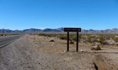
Death Valley National Park
entrance off NV 267 |
|
|