| Panamint Range |
 |
| (パナミント・レンジ) |
|
|
|
|
|
|
|
|
|
|
|
|
| Dante's View (Dantes View) |
|
 |
 |
|
|
 |
|
 |
|
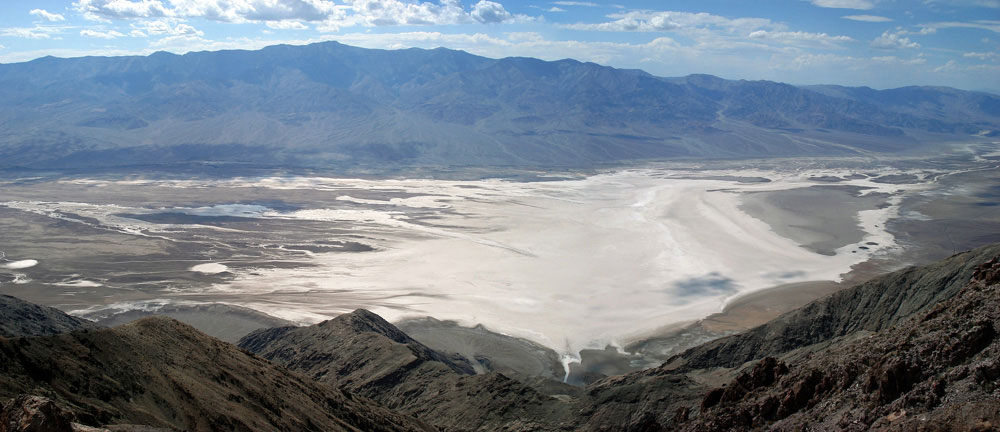
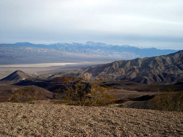
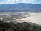
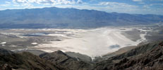
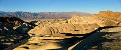
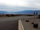
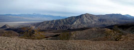
| Panamint Range (Telescope Peak) and Death Valley from Dante's View |
|
|
 |
|
|
|
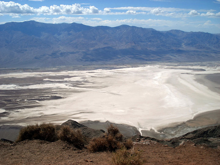
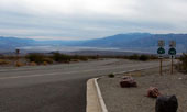
Panamint Range and Death
Valley from Dante's View |
|
|
|
|
|
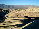
| Zabriskie Point |
|
|
|
|
|
 |
|
 |
|
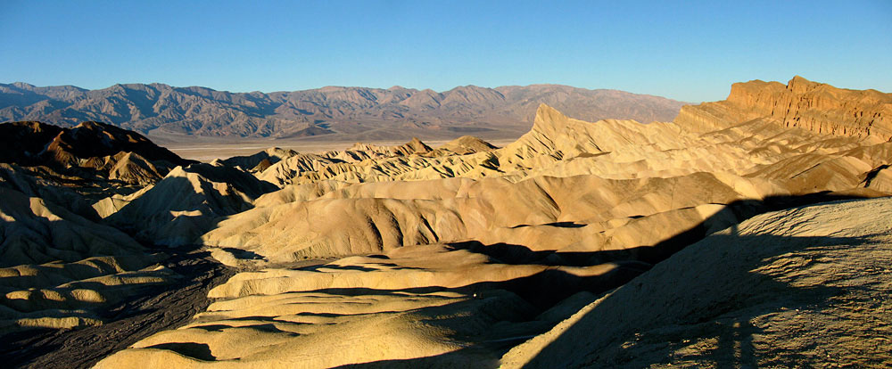
Panamint Range, Death Valley, Golden Canyon,
Manly Beacon and Red Cathedral from Zabriskie Point |
|
|
|
|
|
|
|
|
|
| Hells Gate |
|
|
|
|
 |
|
 |
|
Black Mountains, Death Valley and Panamint
Range (Telescope Peak) from Hells Gate |
|
|
 |
|
 |
|
Death Valley and Panamint Range (Telescope Peak)
from Hells Gate |
|
|
|
|
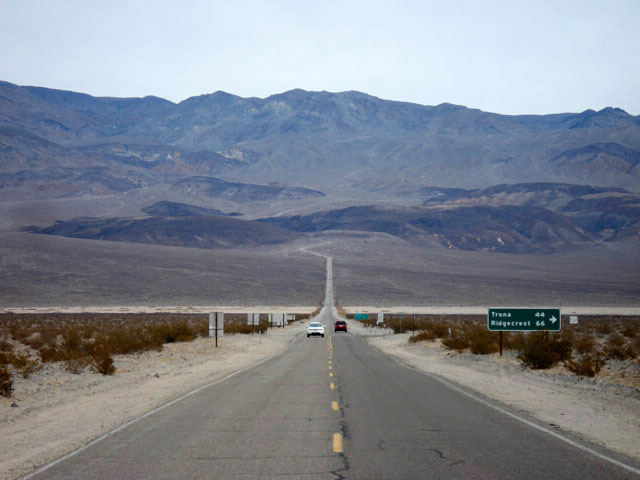
| Daylight Pass Road |
|
 |
|
|
 |
|
 |
|
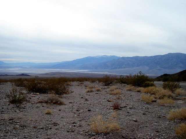
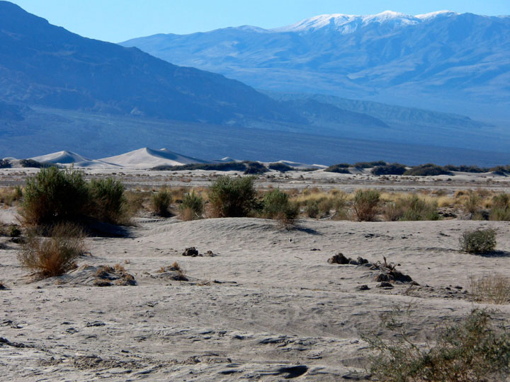
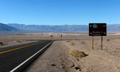
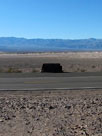
Panamint Range, Mesquite Flat Sand Dunes
and Scottys Castle Road from Daylight Pass Road |
|
|
|
|
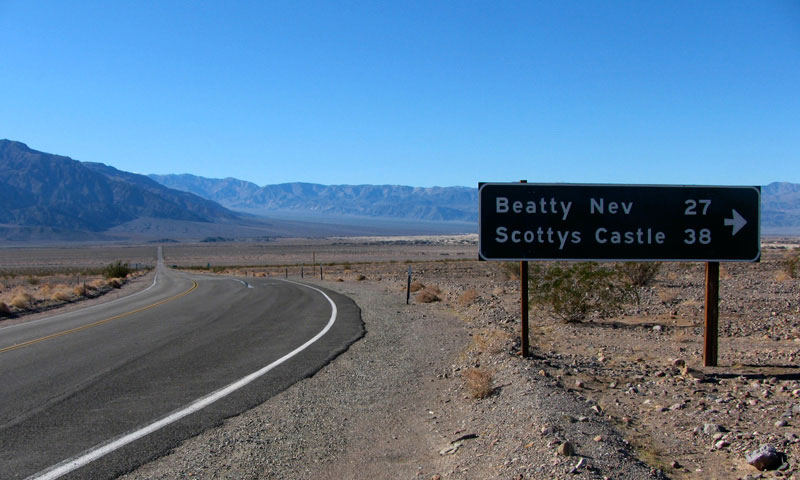
| Scottys Castle Road (Scotty's Castle Road) |
|
|
|
|
 |
|
 |
|
 |
|
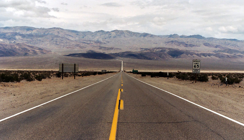
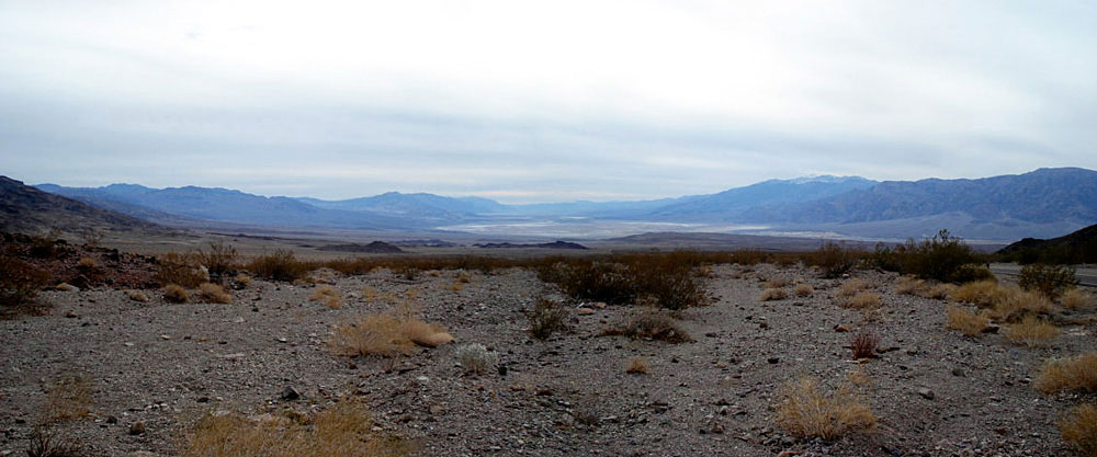
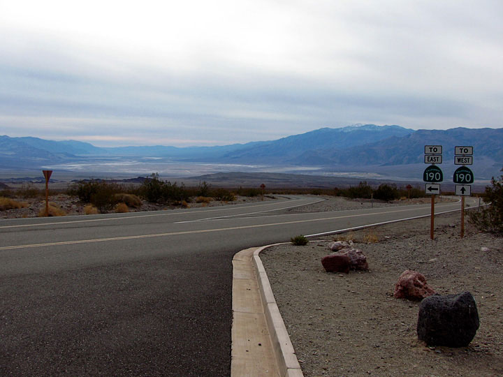
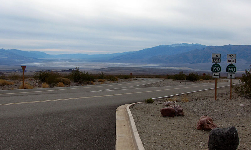
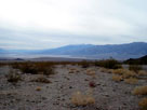
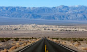
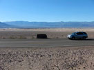
Panamint Range and
Highway 190 (west) near
Scottys Castle Road junction |
|
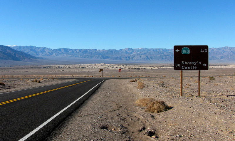
Panamint Range, Mesquite Flat and Scottys
Castle Road from below Kit Fox Hills |
|
|
|
|
|
|
|
|
|
|
|
|
|
|
|
|
|
|
|
|
|
|
|
|
|
|
|
|
|
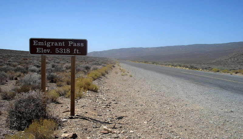
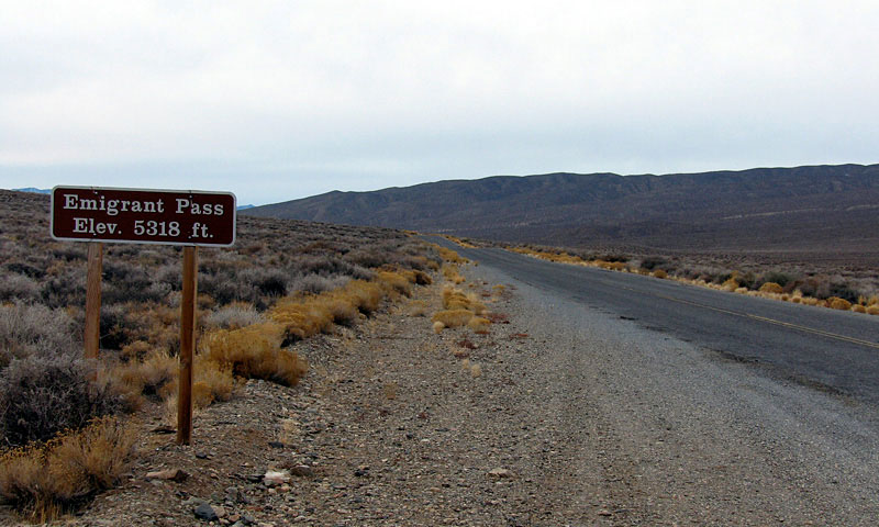
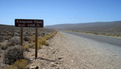
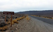
| Emigrant Pass |
|
|
|
|
 |
|
 |
|
| Emigrant Pass and Emigrant Canyon Road (Wildrose Road) |
|
|
|
|
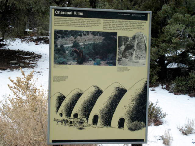
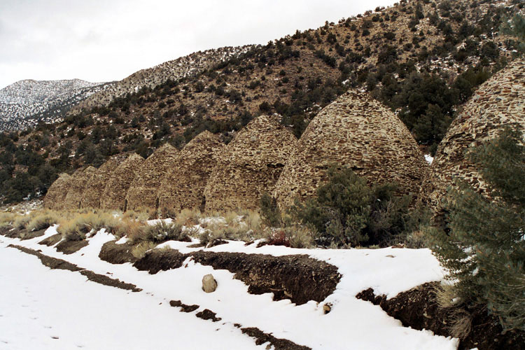
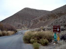
| Wildrose Canyon |
|
|
|
|
 |
|
 |
|
 |
|
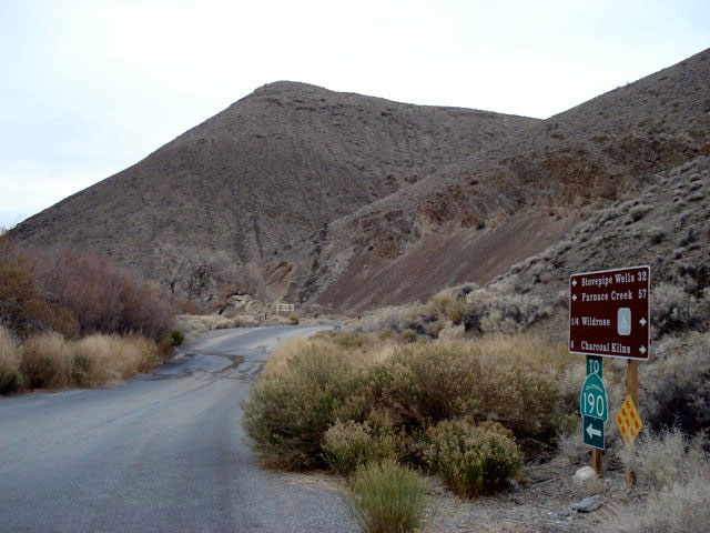
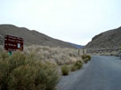
Emigrant Canyon Road
(Wildrose Road) from
Charcoal Kilns Road |
|
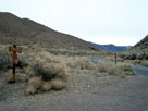
Charcoal Kilns Road from
Emigrant Canyon Road |
|
Wildrose Campground
and Charcoal Kilns Road |
|
|
|
|
|
|
|
|
|
|
|
|
|
|
|
|
|
|
|
|
|
|
 |
|
 |
|
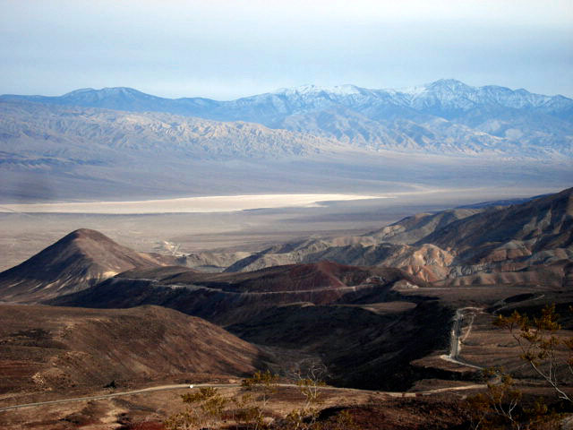
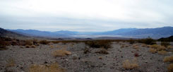
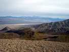
Panamint Range (Telescope Peak) and Panamint Valley
from Father Crowley Vista |
|
|
|
|
| パナミント・レンジ (Panamint Range) の写真 ON WEB |
|
|
|
|