| Amargosa Range |
 |
| (アマルゴサ・レンジ) |
|
|
|
|
|
|
|
|
|
| Grapevine Mountains |
|
 |
 |
 |
|
|
 |
|
 |
|
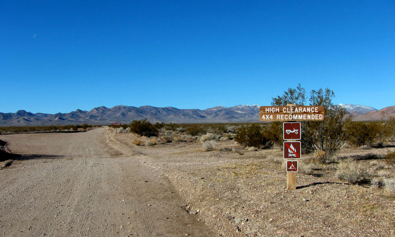
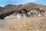
Grapevine Mountains and
Titus Canyon Road
off Scottys Castle Road |
|
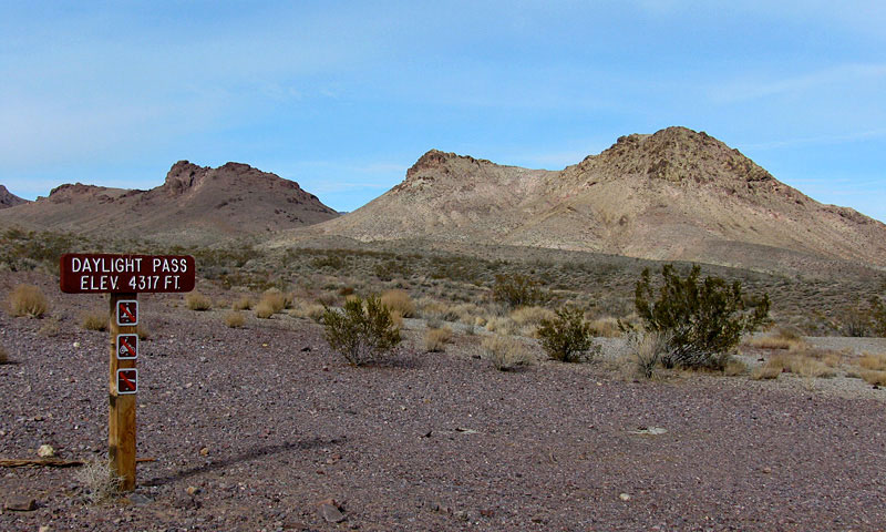
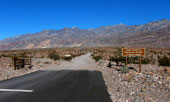
Daylight Pass off Daylight
Pass Road in Grapevine Mountains |
|
|
|
|
| Funeral Mountains |
|
|
|
|
|
|
 |
|
 |
|
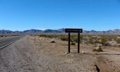
Funeral Mountains from
Information Kiosk off Highway 190 |
|
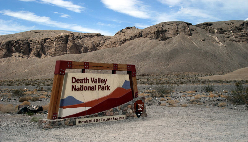
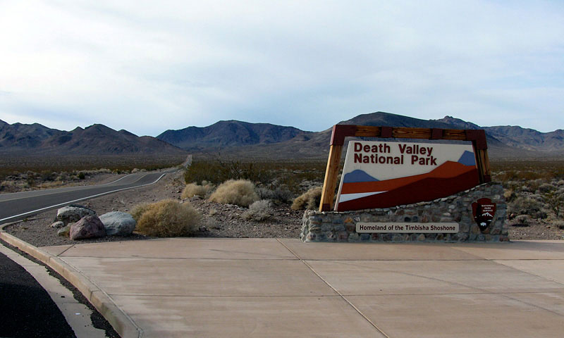
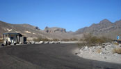
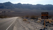
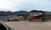
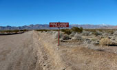
Death Valley National Park
entrance off Highway 190 |
|
|
|
|
|
|
|
 |
|
 |
|
 |
|
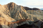
Black Mountains
from Artists Drive |
|
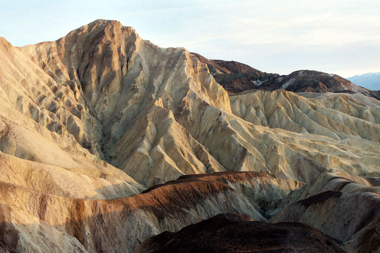
Manly Beacon (?) from
below Red Cathedral
(Golden Canyon Trailend) |
|
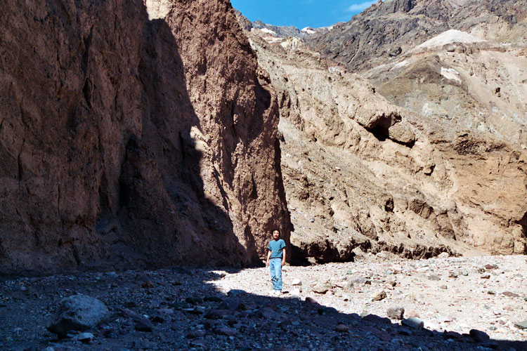
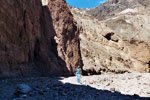
Natural Bridge Canyon |
|
|
 |
|
 |
|
 |
|
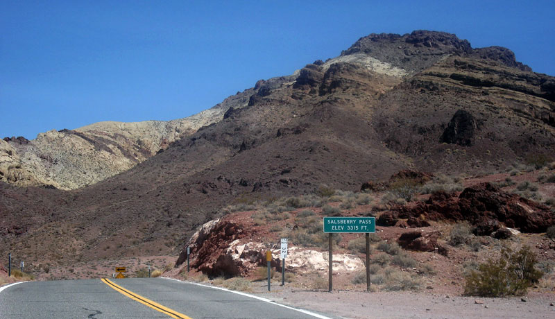
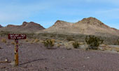
Salsberry Pass and Jubilee Pass
Road in Black Mountains |
|
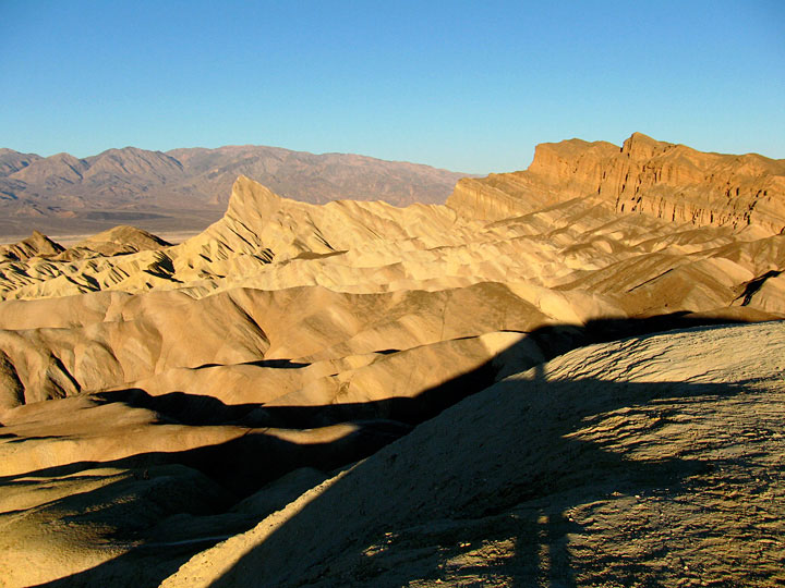
Manly Beacon and
Red Cathedral from
Zabriskie Point |
|
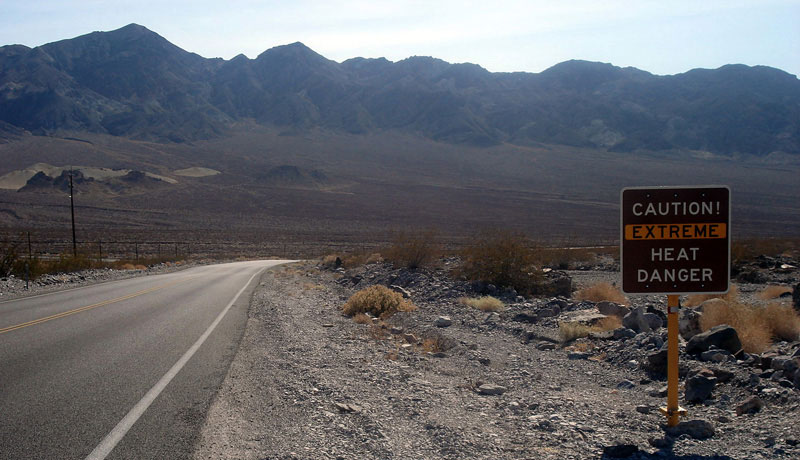
Black Mountains and Highway
190 (west) near Furnace Creek
Wash Road junction |
|
|
|
|
| Amargosa Range from East (Amargosa Desert) |
|
 |
|
 |
|
 |
|
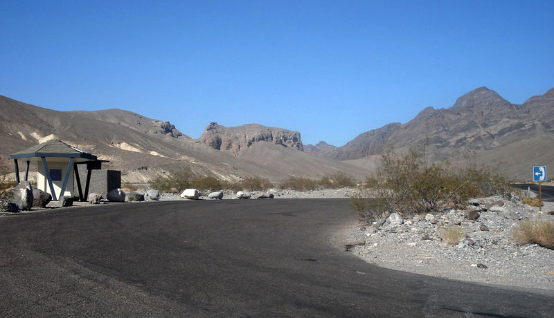
Grapevine Mountains and
Daylight Pass Road entering
Death Valley National Park |
|
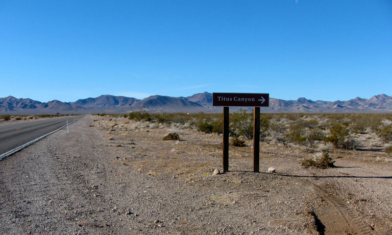
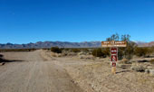
Grapevine Mountains and Titus Canyon Road entering
Death Valley National Park |
|
|
 |
|
 |
|
 |
|
Grapevine Mountains and
NV 374 (west) near
Titus Canyon Road junction |
|
Grapevine Mountains and Titus Canyon Road |
|
|
|
|
| アマルゴサ・レンジ (Amargosa Range) の写真 ON WEB |
|
|
|
|