| デス・バレー国立公園 (2010) |
 |
| Album of photos from a driving/hiking (photo-taking) trip to Death Valley National Park and vicinity in California and Nevada (December 2010). |
|
|
|
|
 |
|
|
|
|
|
|
|
|
 |
|
 |
|
 |
|
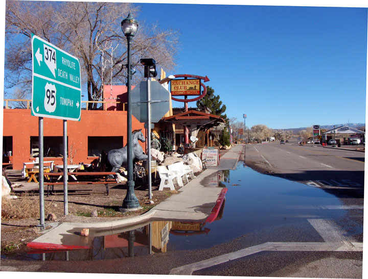
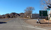
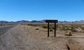
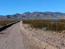
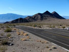
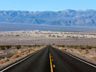
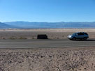
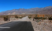
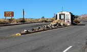
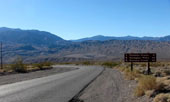
Highway 95 (south)
entering downtown Beatty |
|
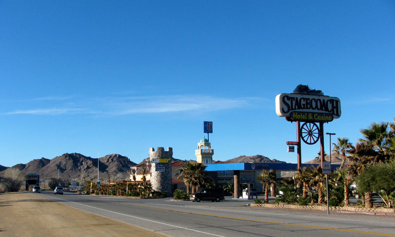
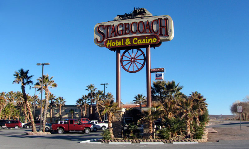
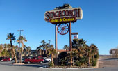
Stagecoach Hotel & Casino |
|
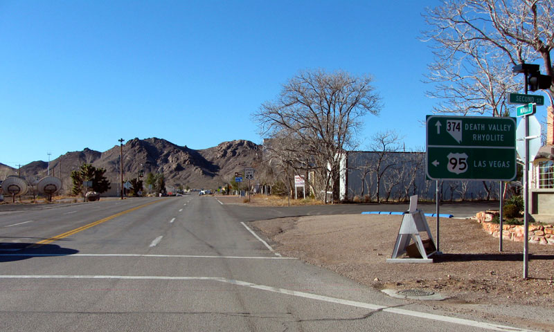
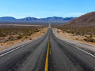
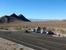
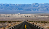
.S. 95 (north) from
NV 374 junction, Beatty |
|
|
|
|
|
|
|
 |
|
|
|
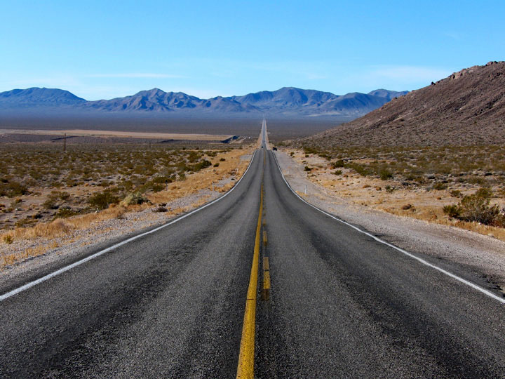
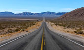
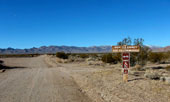
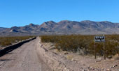
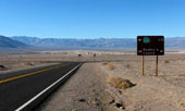
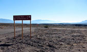
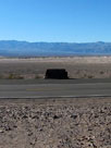
NV 374 from
U.S. 95 junction, Beatty |
|
|
|
|
|
|
|
|
 |
|
 |
|
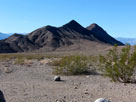
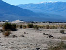
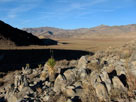
Grapevine Mountains and Box Canyon (Amargosa
Range and Amargosa Desert) from Highway 374 |
|
|
|
|
|
|
|
 |
|
 |
|
 |
|
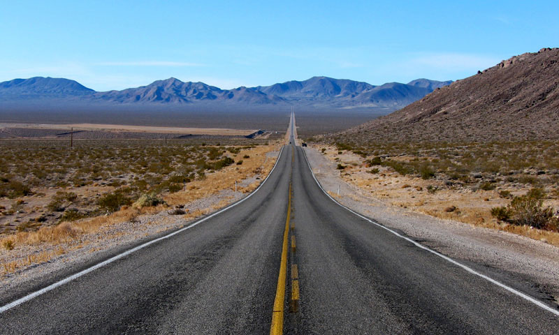
Grapevine Mountains and
Highway 374 near Titus
Canyon Road junction |
|
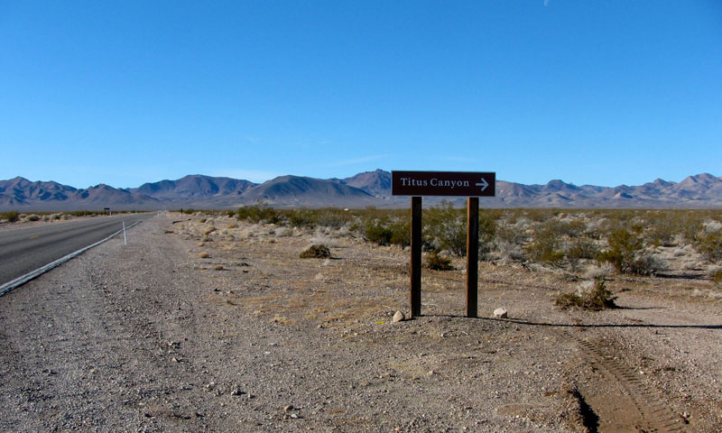
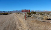
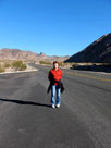
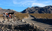
Titus Canyon Road (Leadfield Road) off Highway 374 |
|
|
 |
|
 |
|
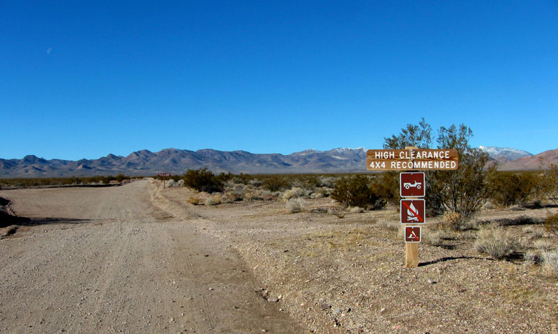
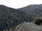
Grapevine Mountains and
Titus Canyon Road
(Leadfield Road) |
|
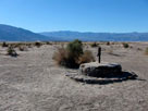
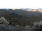
Bare Mountain and
Titus Canyon Road |
|
|
|
|
|
|
|
 |
|
 |
|
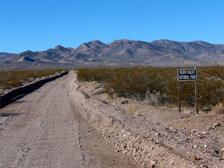
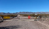
Titus Canyon Road (Leadfield Road) entering
Death Valley National Park |
|
|
|
|
|
|
|
|
|
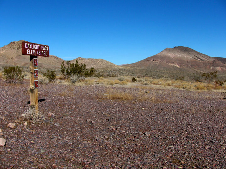
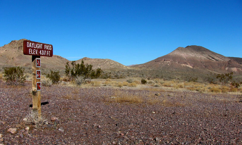
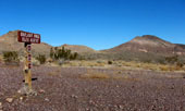
| Daylight Pass |
|
 |
 |
|
|
 |
|
|
|
Peak 4,957, Peak 4,898 and
Peak 5,055 from Daylight Pass
off Daylight Pass Road |
|
|
|
|
|
|
|
|
 |
|
 |
|
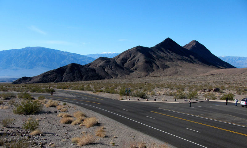
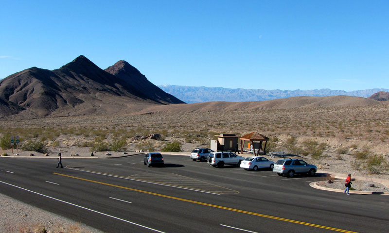
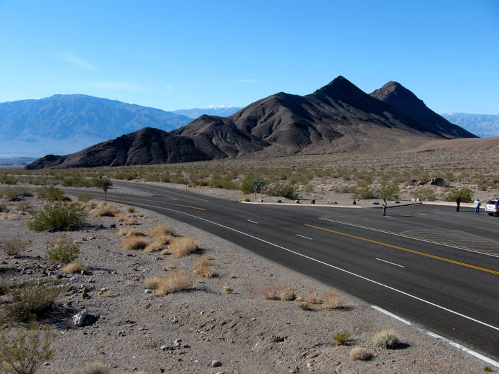
| Death Valley Buttes, Hells Gate and Daylight Pass Road |
|
|
 |
|
 |
|
| Death Valley Buttes, Hells Gate and Daylight Pass Road |
|
|
 |
|
Death Valley Buttes, Hells Gate
and Daylight Pass Road |
|
|
 |
|
 |
|
| Daylight Pass Road |
|
Death Valley Buttes
from Hells Gate |
|
|
|
|
|
|
|
 |
|
 |
|
 |
|
Panamint Range, Mesquite Flat Sand Dunes
and Scottys Castle Road from Daylight Pass Road |
|
Scottys Castle Road junction
and Daylight Pass Road |
|
|
|
|
|
|
|
 |
|
|
|
Death Valley (Mesquite Flat) and
Scottys Castle Road (north)
near Daylight Pass Road junction |
|
|
|
|
|
|
|
|
 |
|
|
|
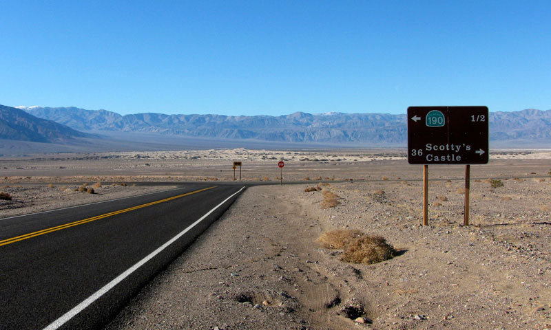
Death Valley and Highway 190
from Scottys Castle Road |
|
|
|
|
|
|
|
|
 |
|
 |
|
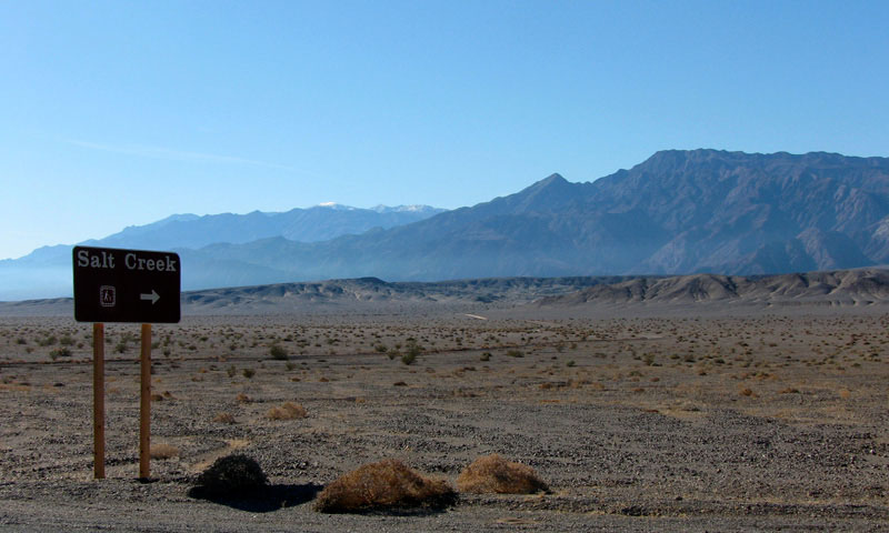
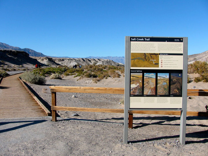
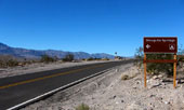
Highway 190 and Salt Creek Road
(Salt Creek Trailhead entrance) |
|
Panamint Range and Salt Creek
Road from Highway 190 |
|
|
|
|
|
|
|
|
|
|
 |
|
 |
|
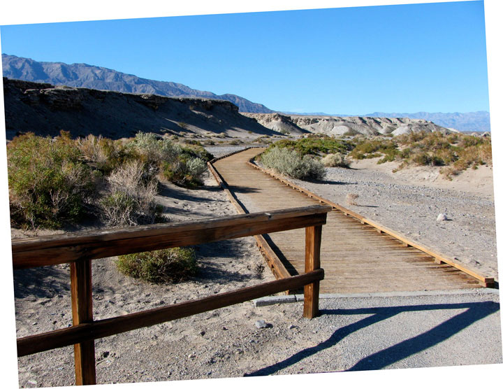
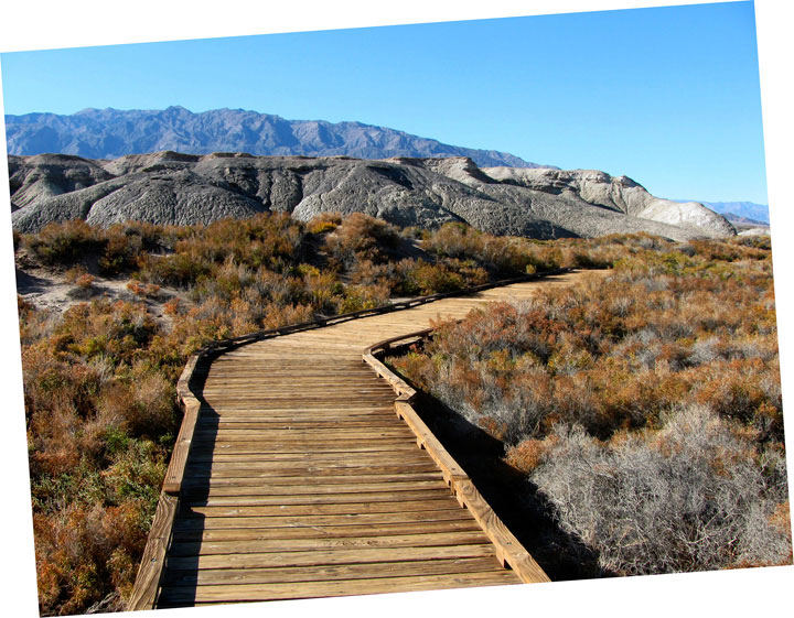
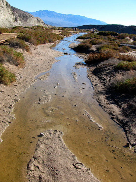
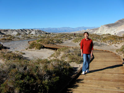
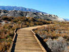
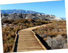
| Salt Creek Trail (Salt Creek Interpretive Trail) |
|
|
|
|
|
|
|
|
|
|
 |
|
|
|
Mesquite Flat and
Highway 190 (west) near
Scottys Castle Road junction |
|
|
|
|
|
|
|
|
 |
|
 |
|
 |
|
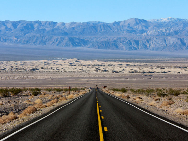
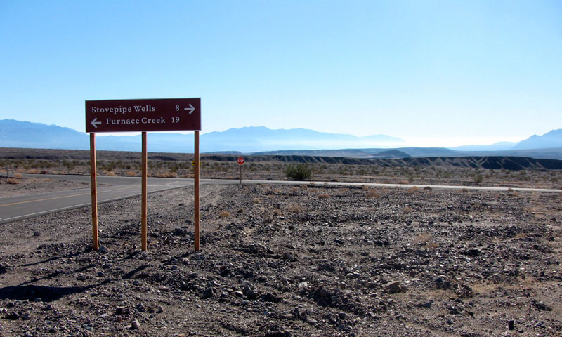
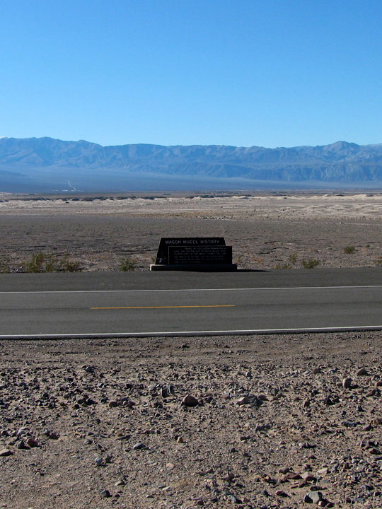
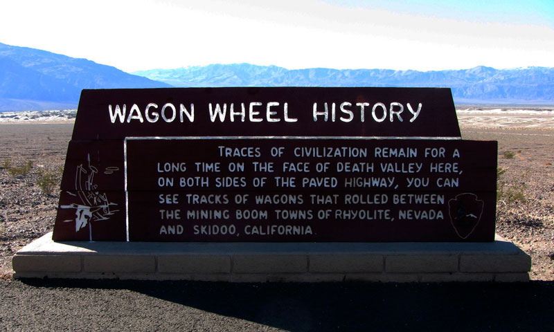
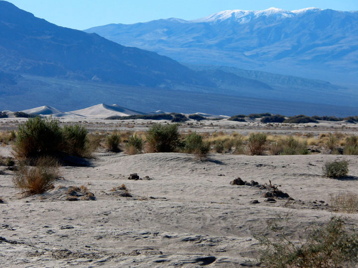
Panamint Range, Mesquite Flat, Old Sovepipe
Wells and Scottys Castle Road |
|
|
|
|
|
|
|
|
 |
|
 |
|
 |
|
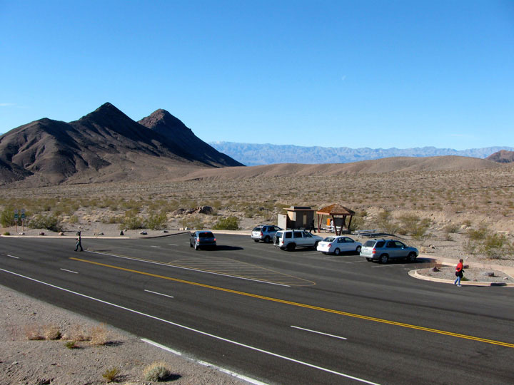
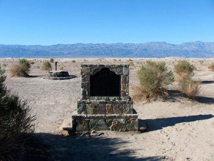
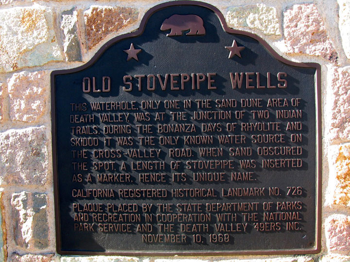
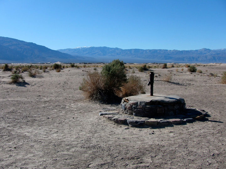
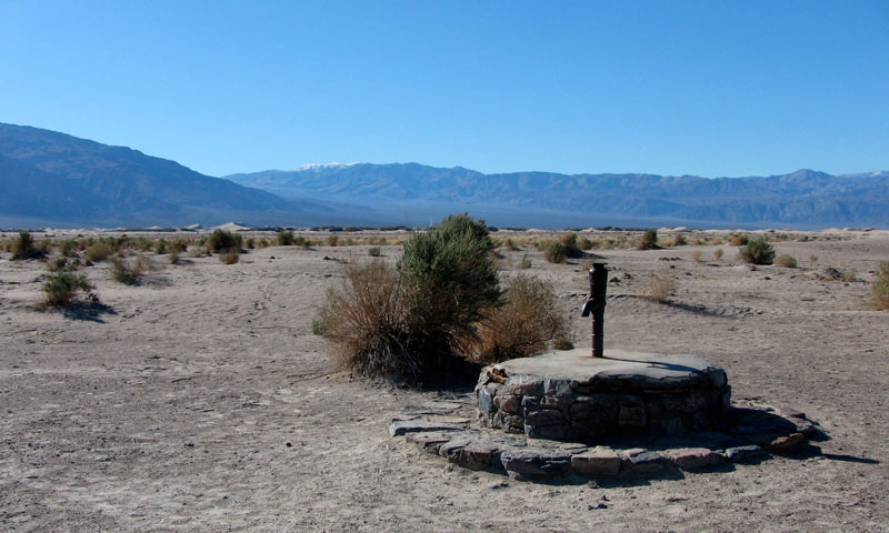
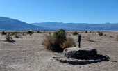
Old Sovepipe Wells
off Scottys Castle Road
(Stovepipe Wells Roadend) |
|
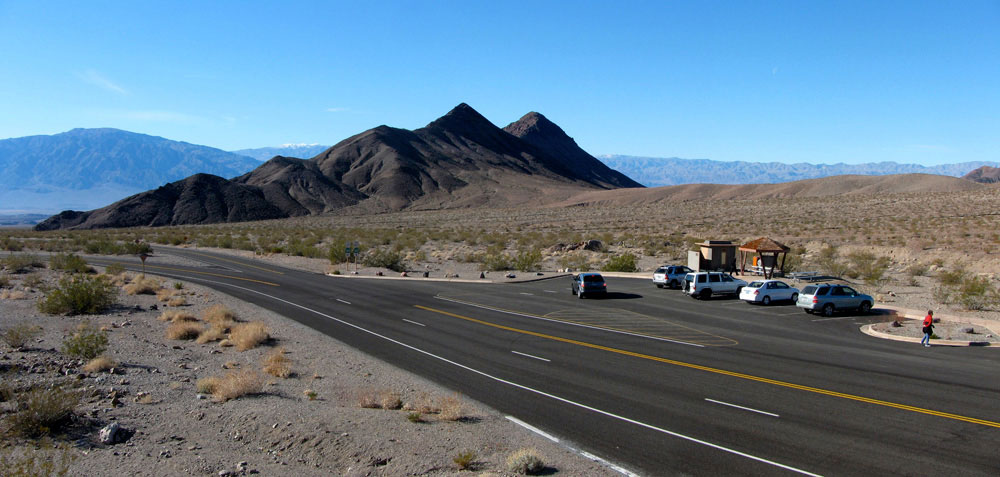
Panamint Range and
Mesquite Flat Sand Dunes
from Old Sovepipe Wells |
|
|
 |
|
 |
|
Panamint Range and Mesquite Flat Sand Dunes
from Old Sovepipe Wells |
|
|
|
|
|
|
|
 |
|
|
|
Grapevine Mountains and
Titus Canyon Road
off Scottys Castle Road |
|
|
|
|
|
|
|
|
 |
|
|
|
Scottys Castle Road near
Mesquite Road (Mesquite Springs
Campground Road) junction |
|
|
|
|
|
|
|
|
 |
|
 |
|
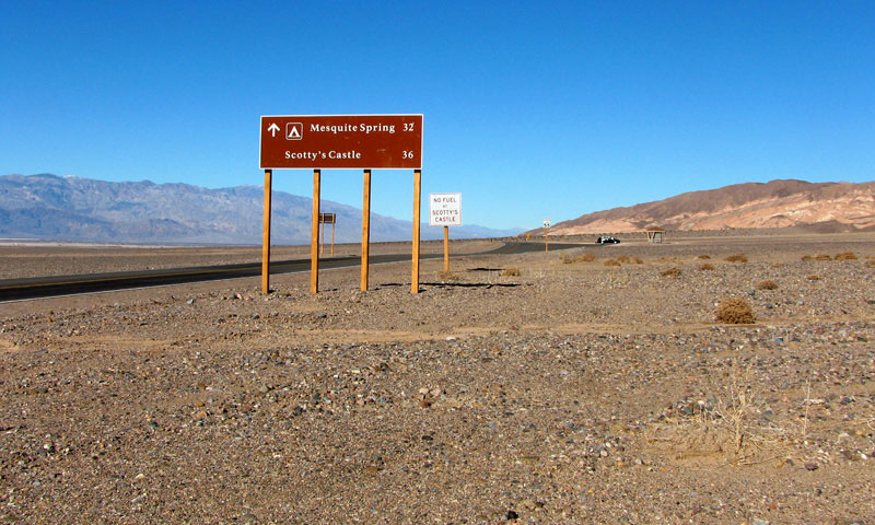
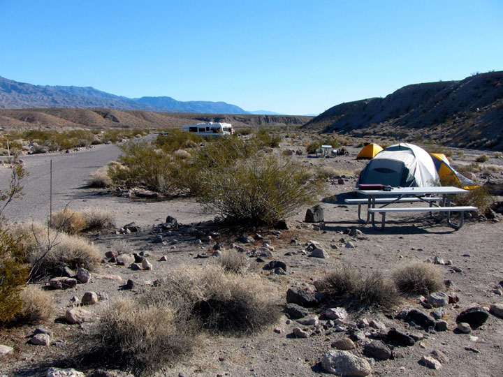
Tin Mountain and Mesquite
Spring Campground (Mesquite
Springs Campground) |
|
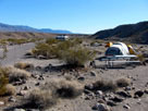
Mesquite Spring
Campground along
Death Valley Wash |
|
|
|
|
|
|
|
 |
|
 |
|
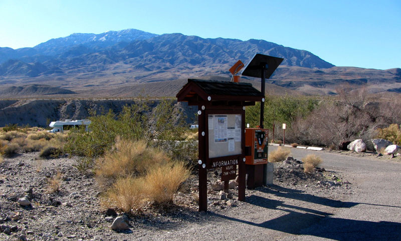
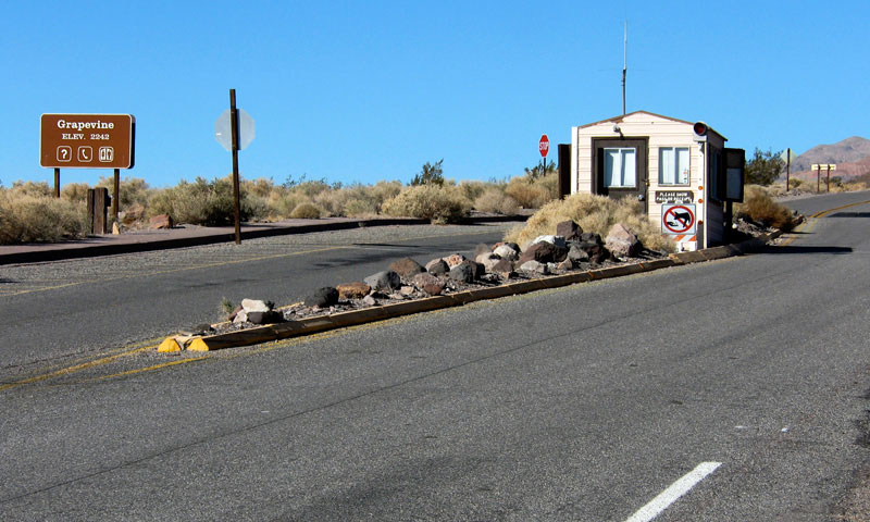
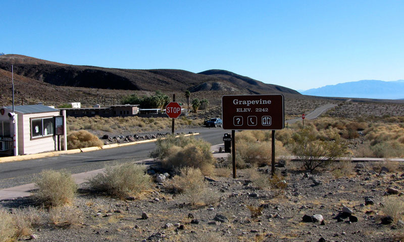
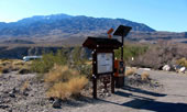
Scottys Castle Road (north)
and Grapevine Entrance Station |
|
Grapevine Ranger Station and
Scottys Castle Road (south) |
|
|
|
|
|
|
|
 |
|
|
|
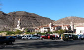
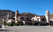
Scotty's Castle (Scottys Castle)
off Scottys Castle Road |
|
|
|
 |
|
 |
|
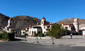
| Scotty's Castle (Scottys Castle) |
|
|
|
|
|
|
|
|
|
|
|
|
 |
|
|
|
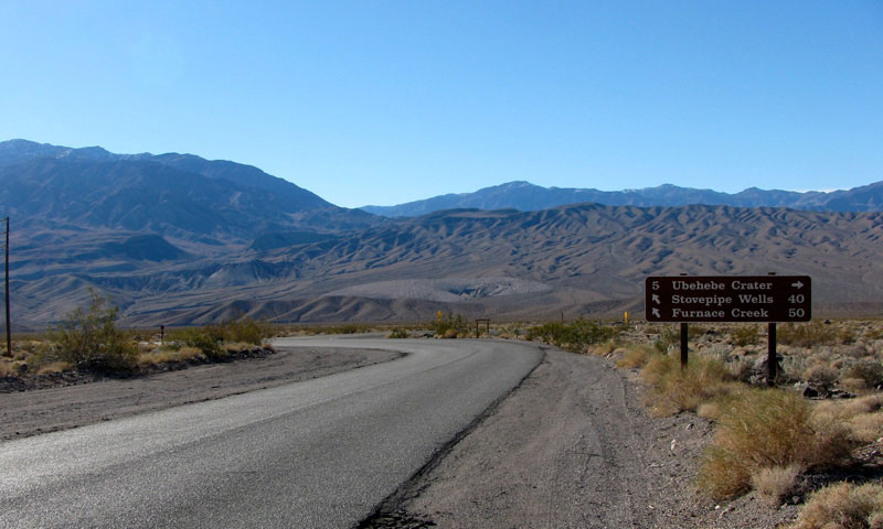
Scottys Castle Road near
Ubehebe Crater Road junction |
|
|
|
|
|
|
|
|
 |
|
|
|
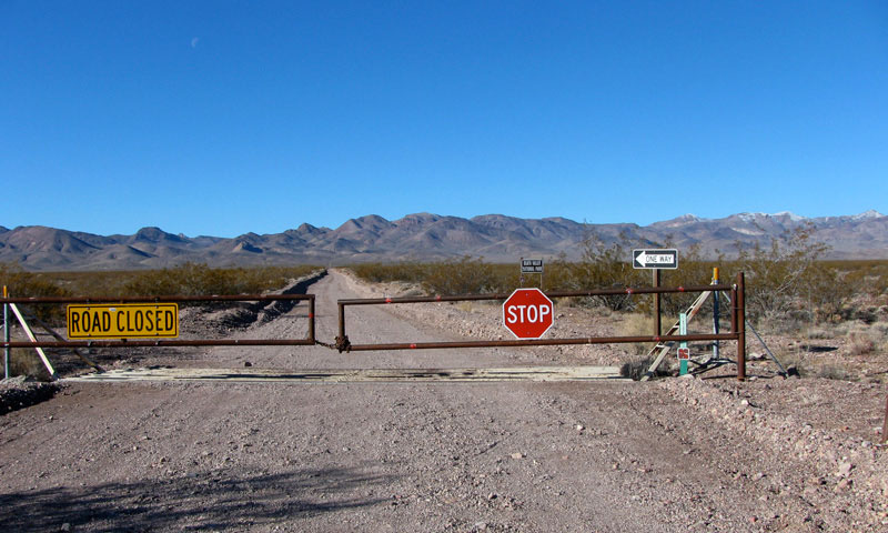
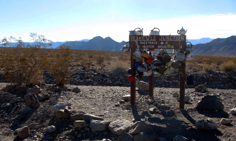
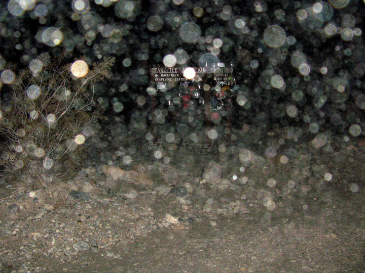
Ubehebe Crater Road near
Racetrack Valley Road
(Racetrack Road) junction |
|
|
|
|
|
|
|
|
 |
|
 |
|
Ubehebe Peak and Racetrack
Valley from Teakettle Junction |
|
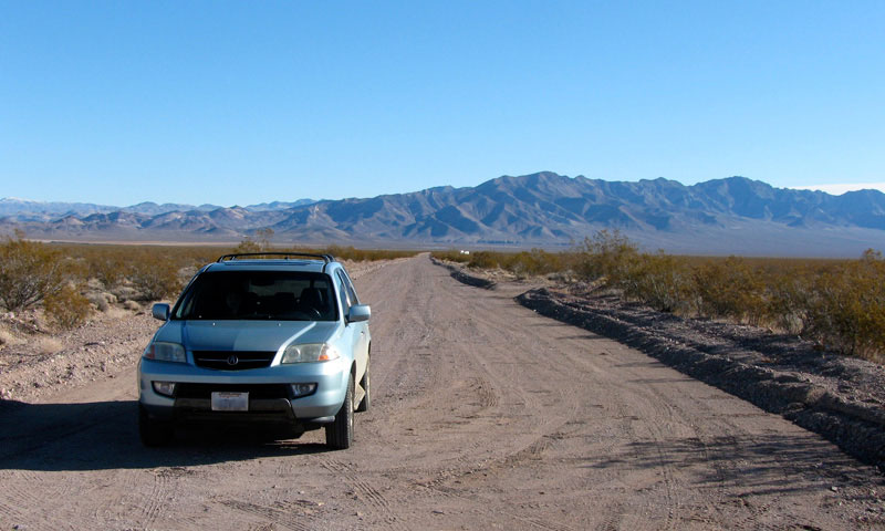
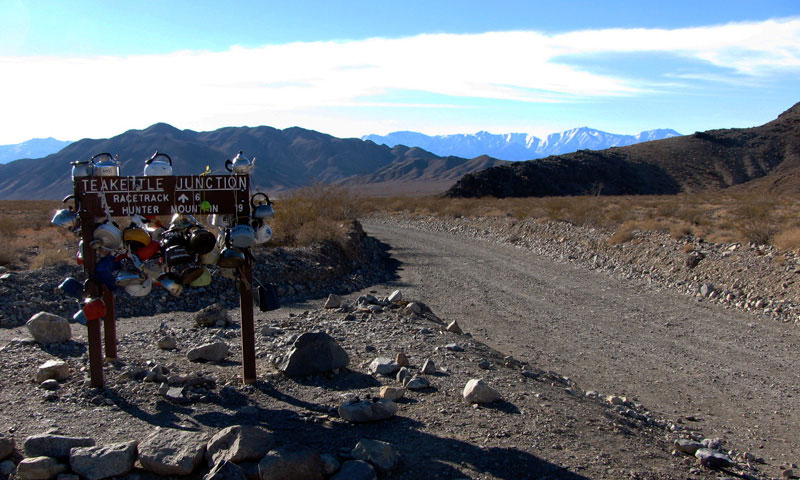
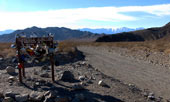
Racetrack Valley Road (Racetrack
Road) from Teakettle Junction |
|
|
|
|
|
|
|
 |
|
 |
|
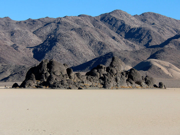
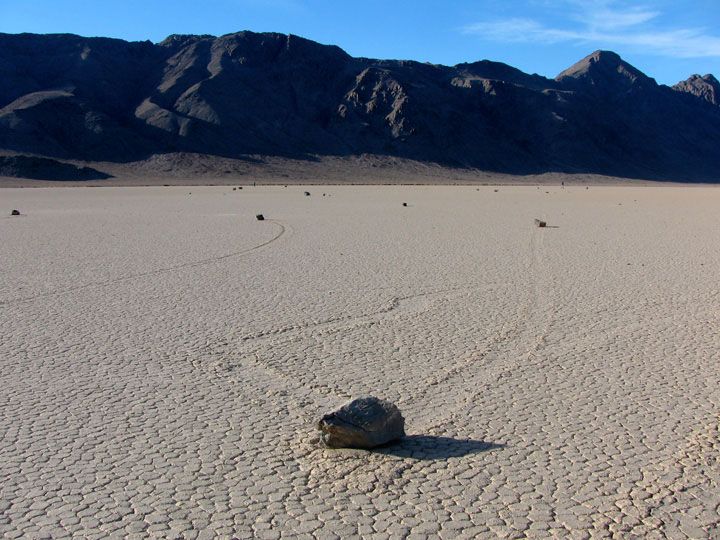
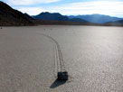
The Grandstand in The Racetrack (Racetrack
Playa) from Racetrack Valley Road |
|
|
|
|
|
|
|
 |
|
 |
|
 |
|
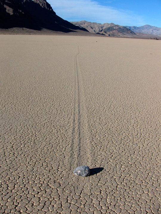
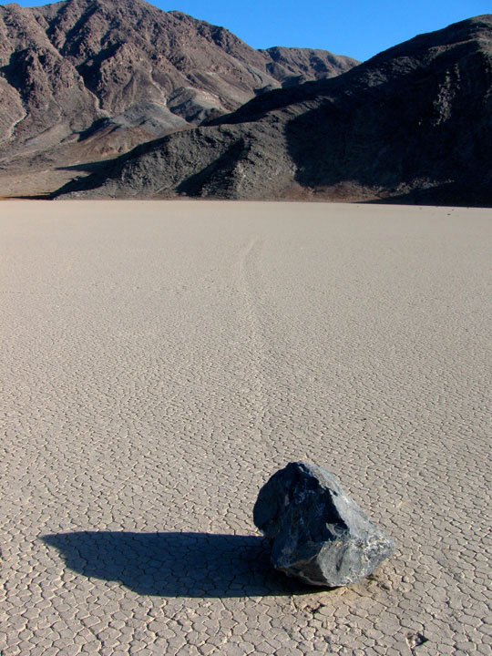
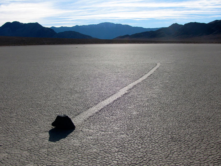
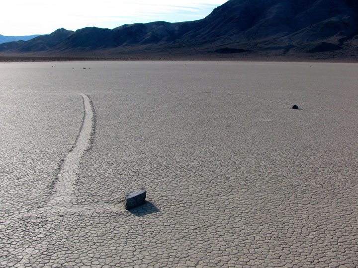
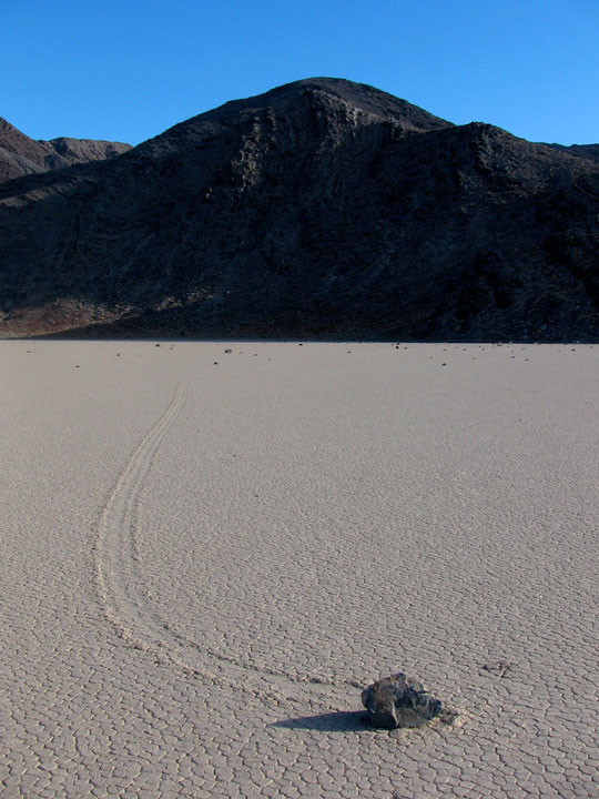
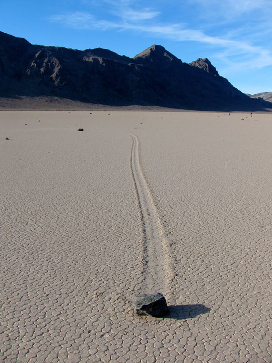
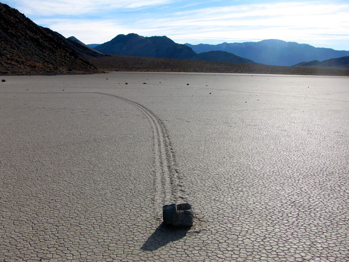
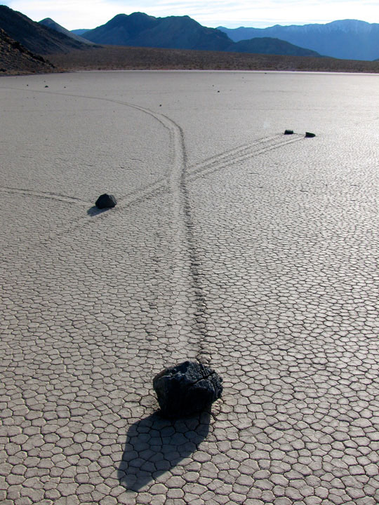
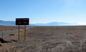
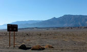
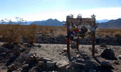
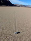
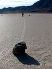
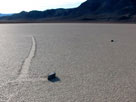
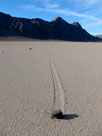
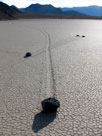
| Moving Rocks (The Racetrack) |
|
|
 |
|
 |
|
 |
|
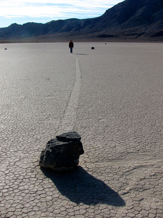
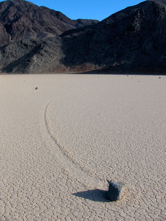
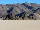
Ubehebe Peak and Moving
Rocks (The Racetrack) |
|
Moving Rocks |
|
|
 |
|
 |
|
 |
|
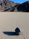
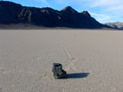
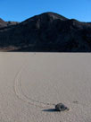
| Moving Rocks (The Racetrack) |
|
|
 |
|
 |
|
 |
|
Last Chance Range,
Ubehebe Peak and Moving
Rocks (The Racetrack) |
|
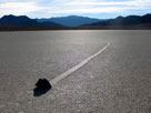
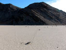
Peak 3,963 and
Moving Rocks |
|
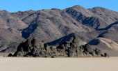
Ubehebe Peak |
|
|
 |
|
 |
|
 |
|
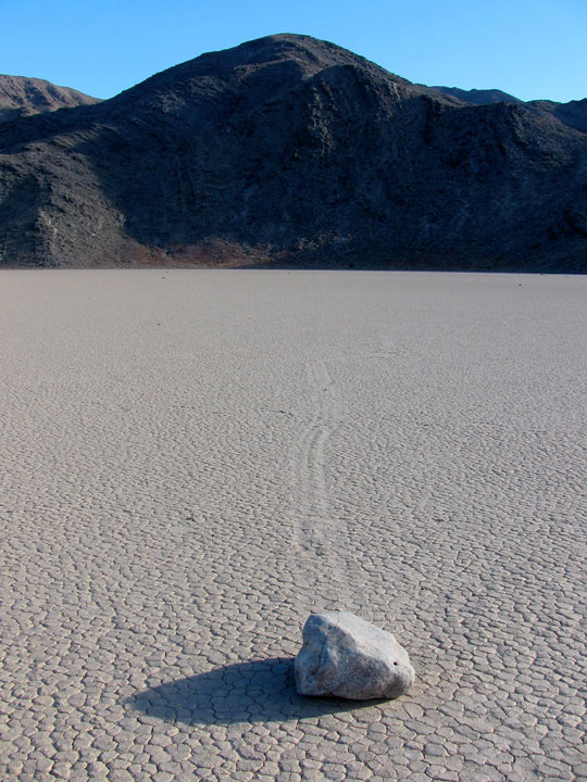
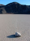
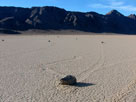
| Peak 4,112 and Moving Rocks (The Racetrack) |
|
Peak 4,598 from
Moving Rocks Trailhead
off Racetrack Valley Road |
|
|
|
|
|
|
|
 |
|
|
|
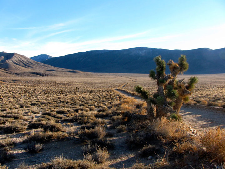
Hidden Valley Road
from Teakettle Junction |
|
|
|
|
|
|
|
|
 |
|
 |
|
Hidden Valley and
Hidden Valley Road |
|
Ulida Flat and
Hidden Valley Road |
|
|
|
|
|
|
|
 |
|
 |
|
 |
|
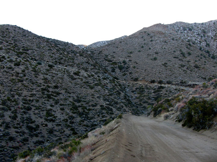
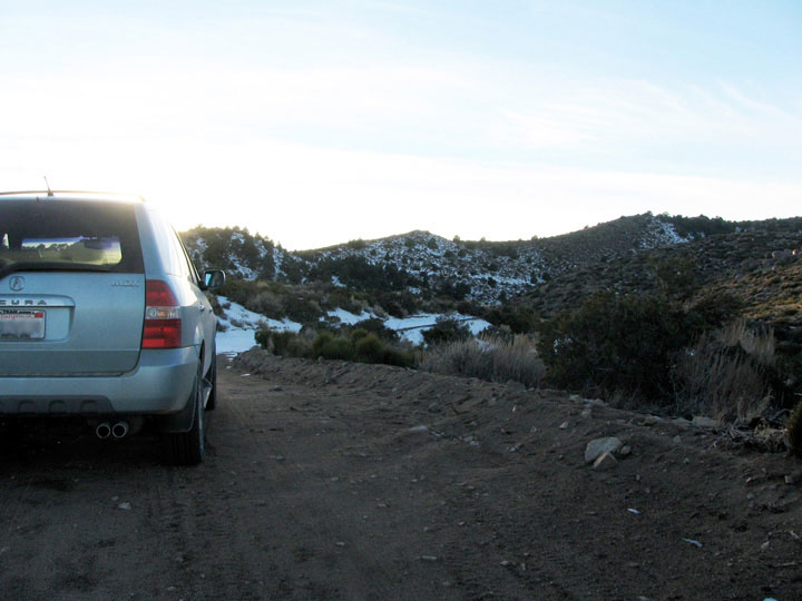
Hunter Mountain Road
in Cottonwood Mountains |
|
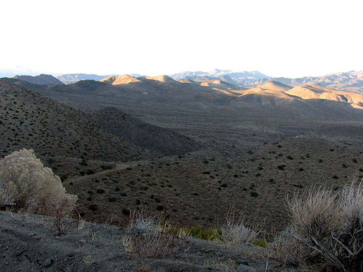
Hunter Mountain Road
toward South Pass |
|
|
 |
|
 |
|
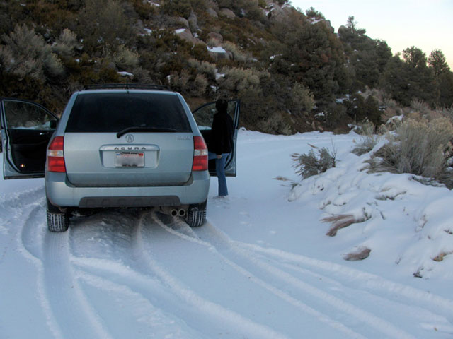
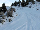
Snow on Hunter Mountain Road
...Time to turn around, 2 years in a row... |
|
|
|
|
|
|
|
|
|
|
|
|
|
|
|
|
|
|
|
|
|
|
 |
|
 |
|
 |
|
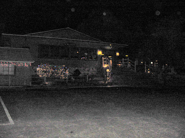
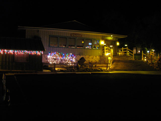
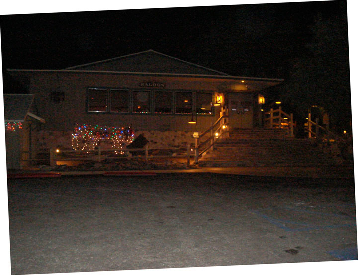
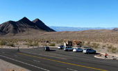
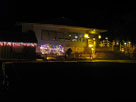
| Stovepipe Wells Village (Badwater Saloon) |
|
|
|
|
|
|
|
|
|
|
|
|
|
|
| Day After - Eastern Sierra |
|
 |
|
 |
|
 |
|
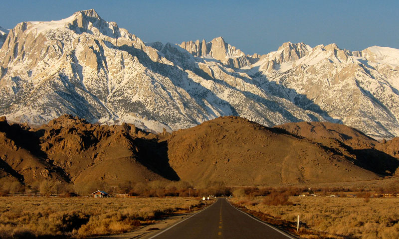
Mount Whitney
from Highway 136 |
|
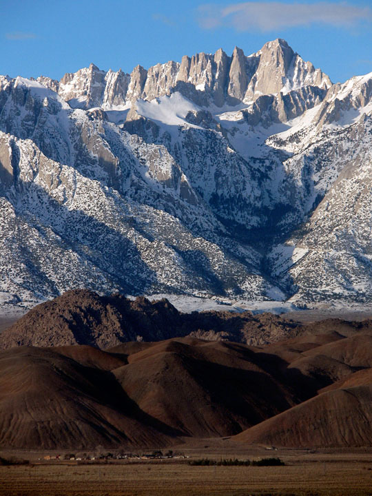
Mount Whitney
from Long John
Canyon Road |
|
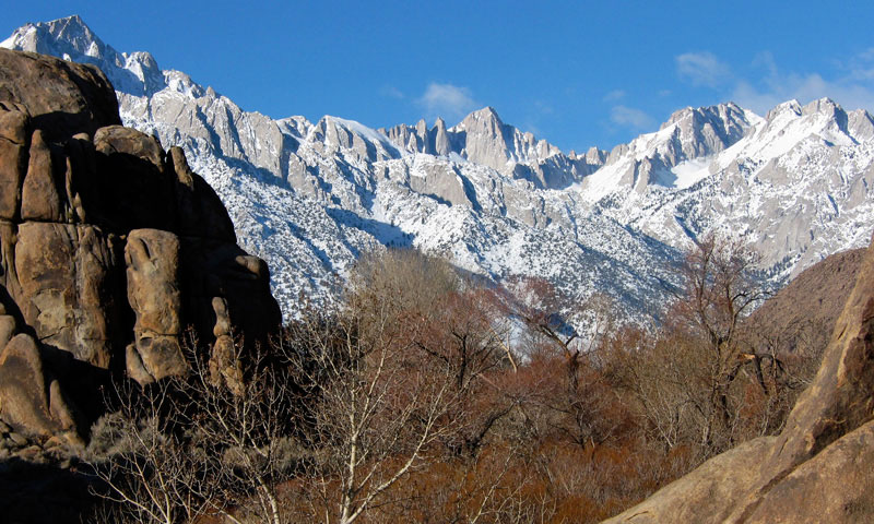
Mount Whitney from
Tuttle Creek Road |
|
|
|
|
| See also |
|
|
|
|