| Horseshoe Meadows Road |
 |
| (ホースシュー・メドウズ・ロード) |
 |
| Bookmark collection of resources regarding Horseshoe Meadows Road (Horseshoe Meadows Rd, Horseshoe Meadow Road), a mountain road to drive up to Horseshoe Meadow in Eastern Sierra (Inyo County, California, USA). |
|
|
| Articles (日本語) |
|
| アドベンチャー・ガイド |
|
| 写真 |
|
 |
|
|
| サーチ |
|
|
|
| Articles/Directories |
|
 |
|
| Outdoor & Adventure |
 |
 |
|
|
| Maps |
 |
 |
|
 |
|
|
| Photo Galleries |
 |
|
|
| Photos |
|
 |
|
 |
 |
 |
 |
|
 |
 |
 |
 |
|
|
|
|
|
|
|
|
|
|
|
|
|
|
|
| Searches |
|
|
|
|
|
|
|
|
|
|
|
|
|
|
|
|
|
|
|
|
 |
|
 |
|
 |
|
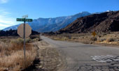
Horseshoe Meadows Road
and Wanoga Peak
from Lone Pine Narrow
Gauge Road |
|
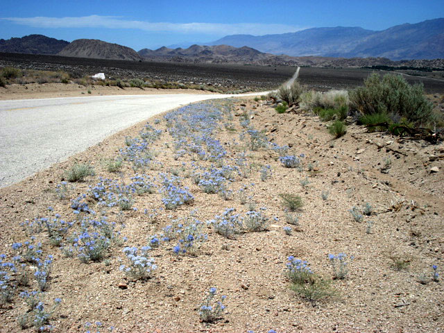
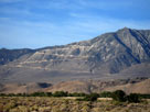
Inyo Mountains,
Alabama Hills and
Horseshoe Meadows Road |
|
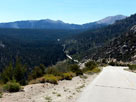
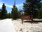
Horseshoe Meadow and
Horseshoe Meadows Road |
|
|
|
|
|
|
|
|
 |
|
 |
|
 |
|
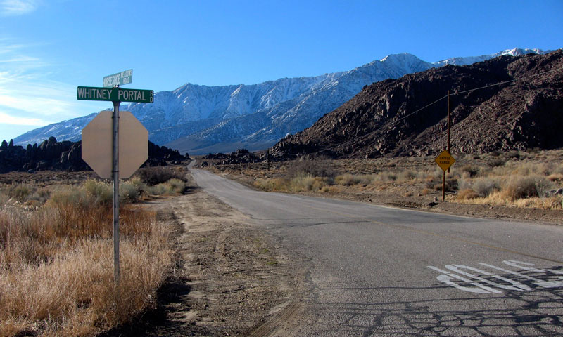
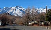
Alabama Hills and
Horseshoe Meadows Road
from Whitney Portal Road |
|
Horseshoe Meadow and
Horseshoe Meadows Road |
|
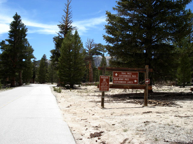
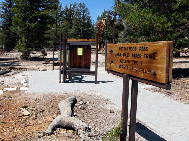
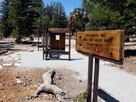
Cottonwood Pass/Trail
Pass Trailhead |
|
|
|
|
|
|
|
|
 |
|
|
|
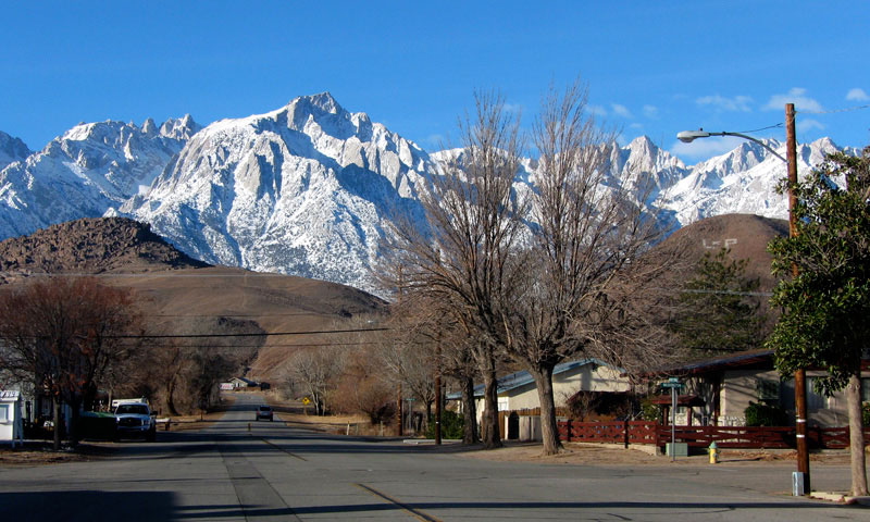
Lone Pine Peak and Mount
Whitney from Whitney Portal
Road off U.S. 395, Lone Pine |
|
|