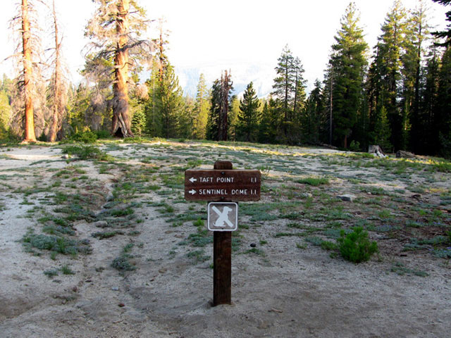
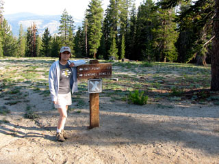
| センティネル・ドーム・トレイル |
 |
| (Sentinel Dome Trail) |
|
|
|
|
|
|
|
|
|
|
|
|
|
|
|
|
|
|
|
 |
|
|
|
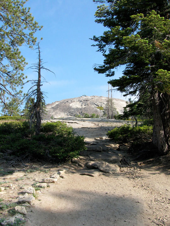
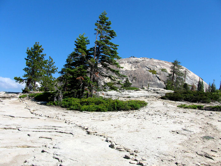
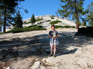
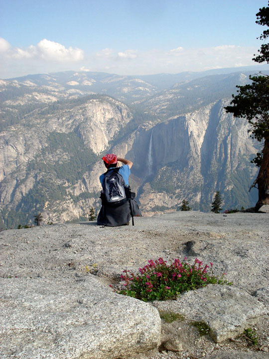
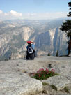
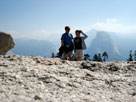
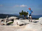
Sentinel Dome summit
from Sentinel Dome Trail |
|
|
|
 |
|
 |
|
 |
|
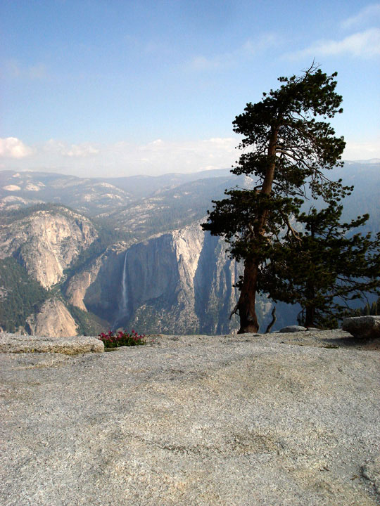
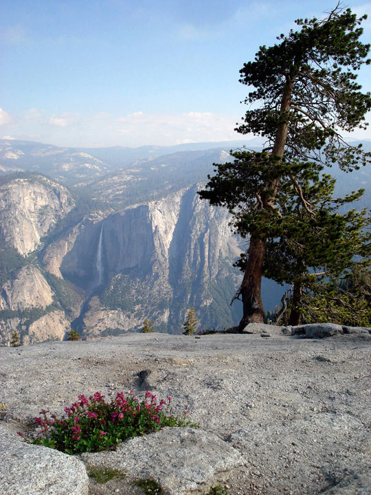
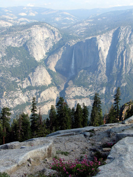
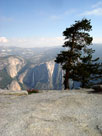
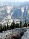
Yosemite Falls from
Sentinel Dome Trail |
|
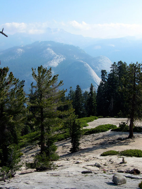
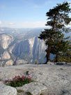
North Dome and
Basket Dome |
|
|
 |
|
 |
|
 |
|
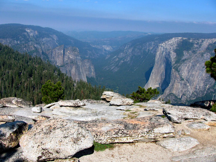
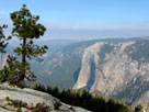
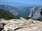
El Capitan from
Sentinel Dome Trail |
|
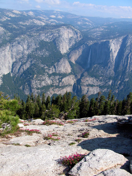
Yosemite Falls |
|
|
|
|
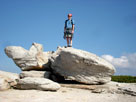
| センティネル・ドーム (センチネル・ドーム、Sentinel Dome) 頂上 |
|
 |
|
 |
|
 |
|
| Sentinel Dome summit |
|
Cathedral Rocks, Yosemite
Valley and El Capitan from
Sentinel Dome summit |
|
Yosemite Falls |
|
|
 |
|
 |
|
 |
|
| A summit attribute |
|
Mount Watkins and
Half Dome from
Sentinel Dome summit |
|
|
|
|
|
| センティネル・ドーム・トレイル (Sentinel Dome Trail) の写真 ON WEB |
|
| 写真 |
 |
 |
 |
|
|
| Photo Galleries |
|
 |
|
|
| Photos |
 |
 |
 |
 |
 |
 |
 |
 |
 |
 |
 |
|
|
|