| Highway 120 |
 |
| (California State Route 120) |
|
| Original photo collection of sceneries along Highway 120 (California State Route 120, CA SR-120, CA 120), a California State Highway running in and through Eastern Sierra. |
|
|
|
|
| Highway 395 (U.S. Route 395) |
|
 |
|
 |
|
 |
|
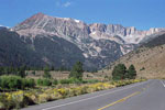
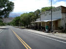
Lee Vining and
Highway 395 (north) |
|
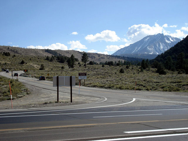
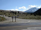
Highway 120 west
and Highway 395 |
|
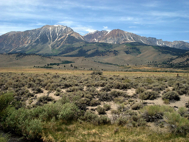
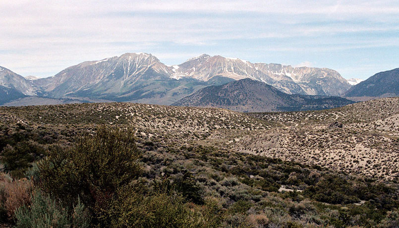
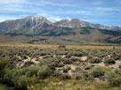
Mt. Gibbs and Mt. Dana
from Highway 395
(near Highway 120 Jct) |
|
|
|
|
| Highway 120 West (Tioga Pass Road) |
|
 |
|
 |
|
 |
|
Mount Dana, Dana Crest
and Highway 120 |
|
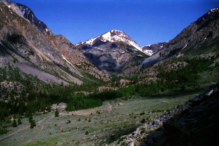
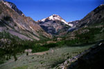
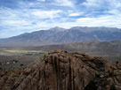
Tioga Peak and
Lee Vining Canyon
from Highway 120 |
|
Dana Crest, Lee Vining Canyon
and Highway 120 |
|
|
 |
|
 |
|
 |
|
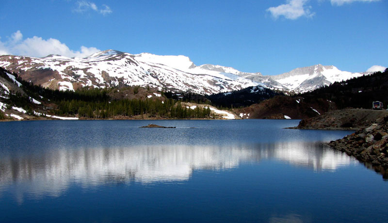
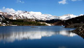
White Mountain, Mt. Conness
(southeastpeak) and Ellery Lake |
|
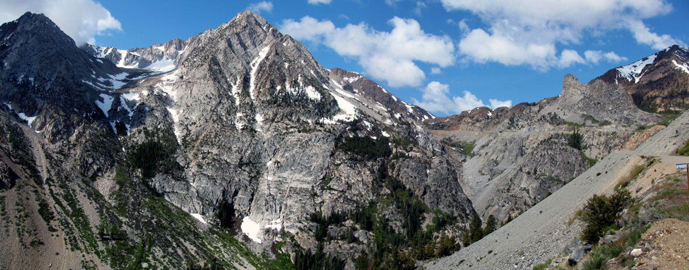
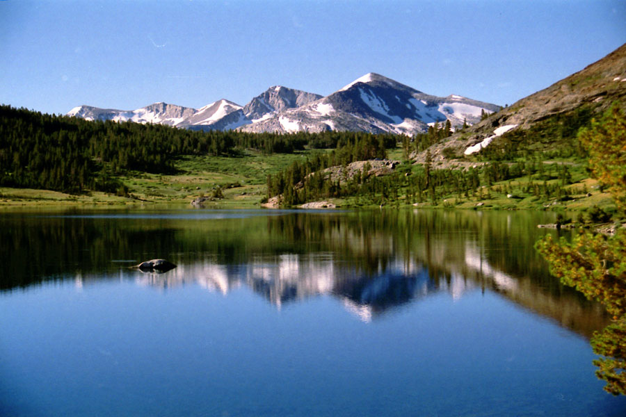
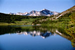
Mammoth Peak, Tioga Pass
and Tioga Lake |
|
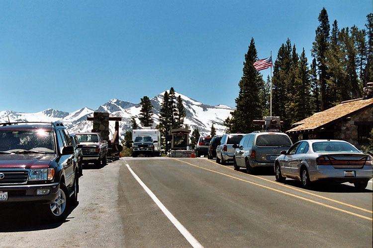
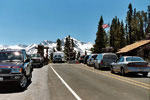
Highway 120 and
Tioga Pass Entrance,
Yosemite National Park |
|
|
|
|
| Highway 120 East |
|
 |
|
 |
|
 |
|
Mount Gibbs and Mount Dana
from Highway 120 |
|
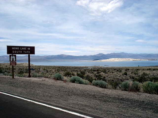
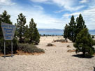
Mono Lake and
Highway 120 |
|
Mono Lake from
Highway 120 |
|
|
 |
|
 |
|
 |
|
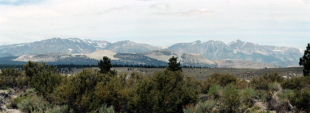
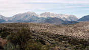
Sierra Nevada Mountains and
Mono Craters from Sagehen Summit |
|
Montgomery Peak and
Blind Spring Valley |
|
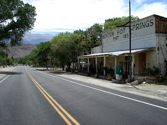
Benton Hot Springs |
|
|
|
|
| Highway 120 (California State Route 120) Photos on Web |
|
|
|
|