| Death Valley Scenic Byway |
 |
| Original photo collection of sceneries along Death Valley Scenic Byway, one of the National Scenic Byways on California State Route 190 running in Death Valley National Park. |
|
|
|
|
|
|
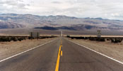
| Highway 190 (California State Route 190) |
|
 |
|
 |
|
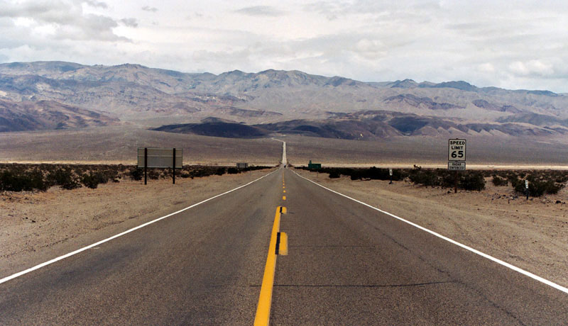
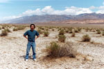
Panamint Range and
Highway 190 (east) |
|
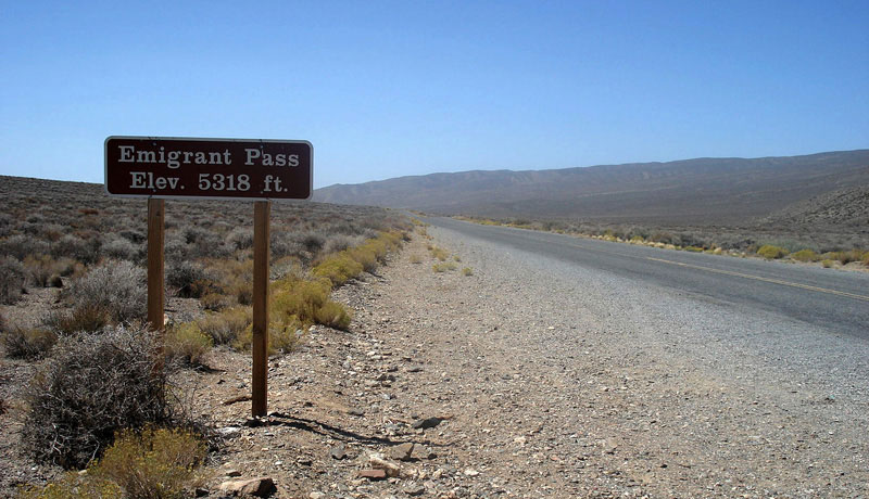
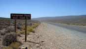
Emigrant Pass and
Highway 190 (west) |
|
|
|
|
|
|
|
|
|
|
|
|
|
|
|
|
|
 |
|
 |
|
 |
|
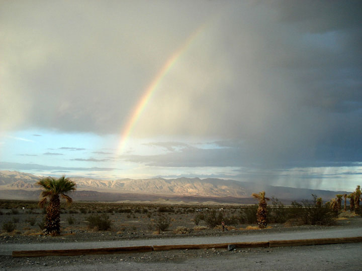
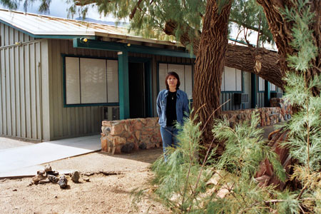
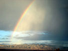
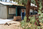
| Rainbow from Stovepipe Wells Village |
|
|
|
|
|
|
|
 |
|
 |
|
 |
|
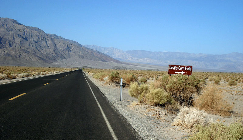
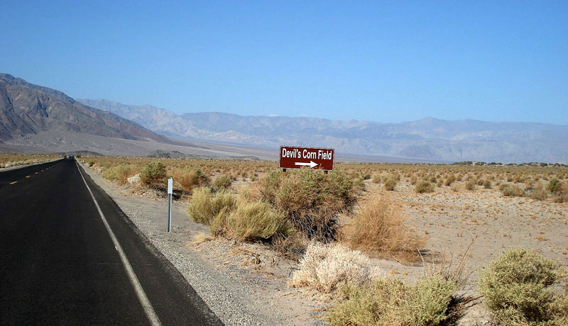
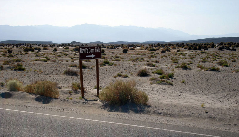
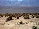
| Devil's Corn Field and Highway 190 (west) |
|
|
|
|
|
|
|
 |
|
 |
|
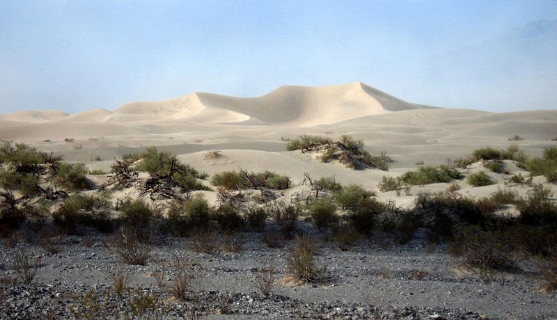
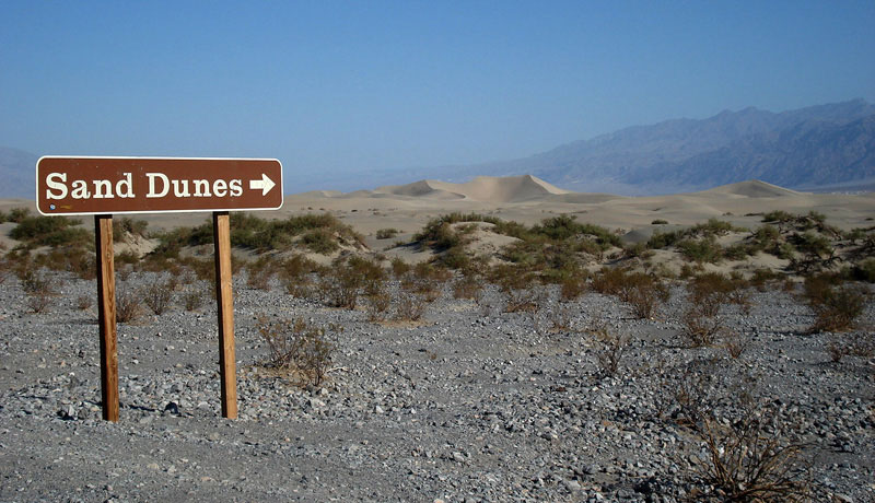
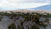
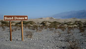
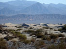
| Sand Dunes from Highway 190 |
|
|
 |
|
|
|
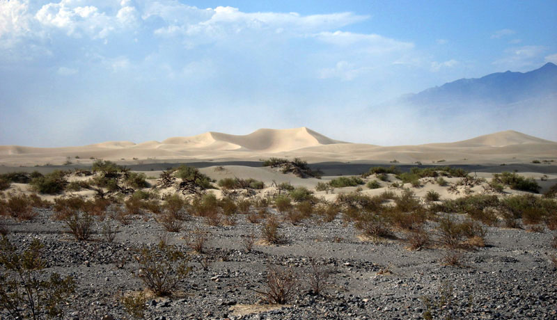
Sand Dunes
from Highway 190 |
|
|
|
|
|
|
|
|
|
|
|
|
|
|
|
|
|
|
|
|
|
|
|
|
|
|
|
|
|
|
|
|
|
 |
|
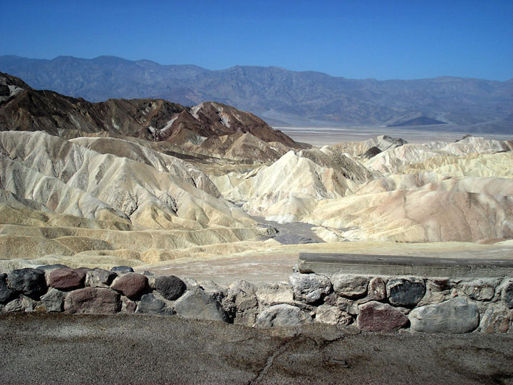
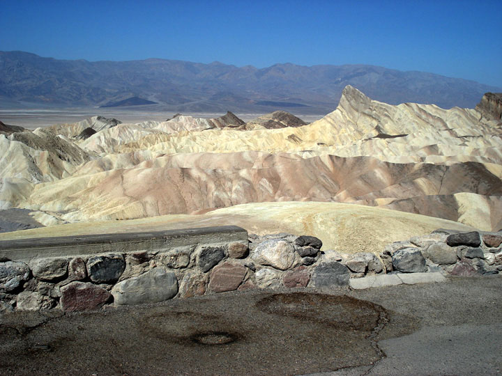
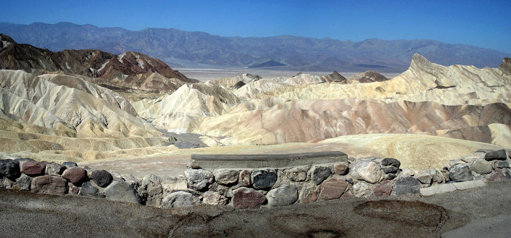
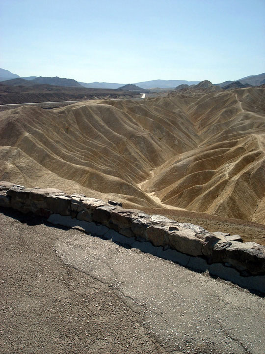
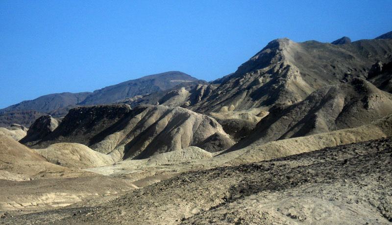
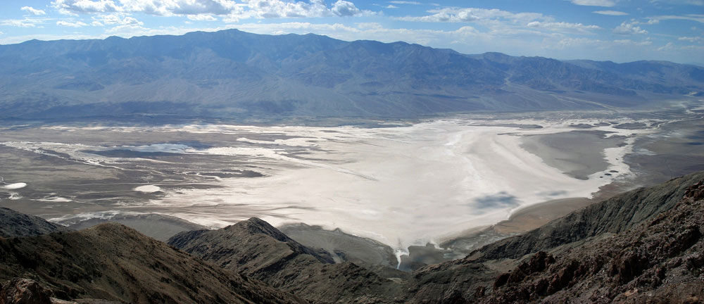
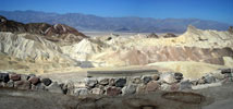
| Zabriskie Point |
|
|
|
|
|
|
|
|
|
|
|
|
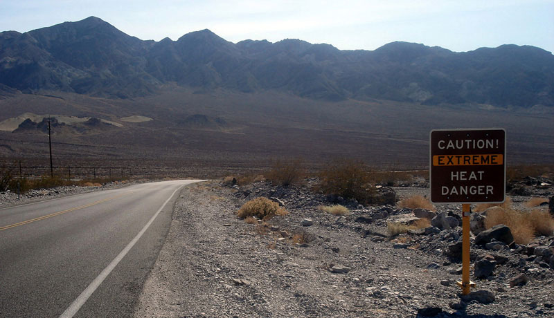
| Highway 190 (California State Route 190) |
|
 |
|
 |
|
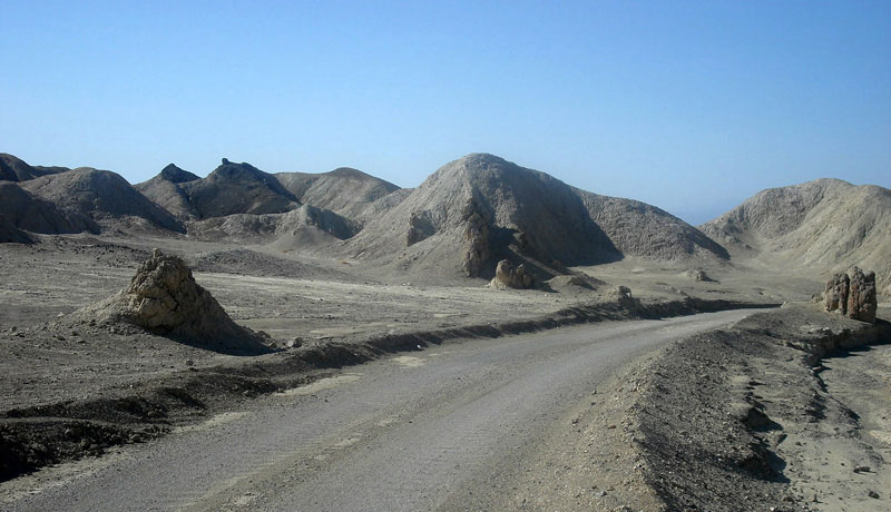
| Highway 190 (west) |
|
|
|
 |
|
|
|
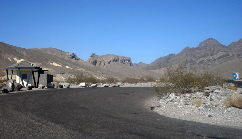
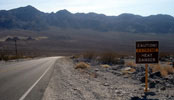
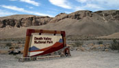
Death Valley National Park
entrance on Highway 190 |
|
|
|
|
|
|
|
|
|
|
| Death Valley Scenic Byway Photos on Web |
|
|
|