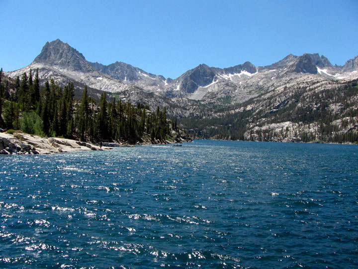
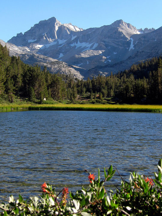
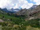
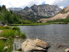
| Lake Sabrina, Little Lakes Valley & |
 |
| T.J.-Barrett Lakes (Day 1) |
|
|
|
|
|
|
|
|
|
|
|
|
|
|
|
|
|
|
|
 |
|
 |
|
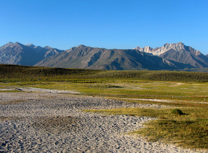
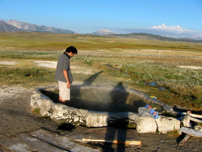
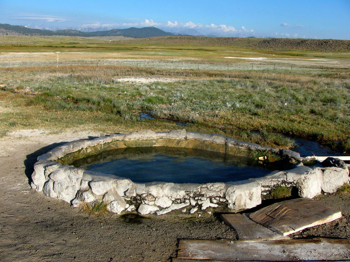
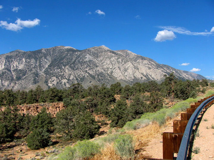
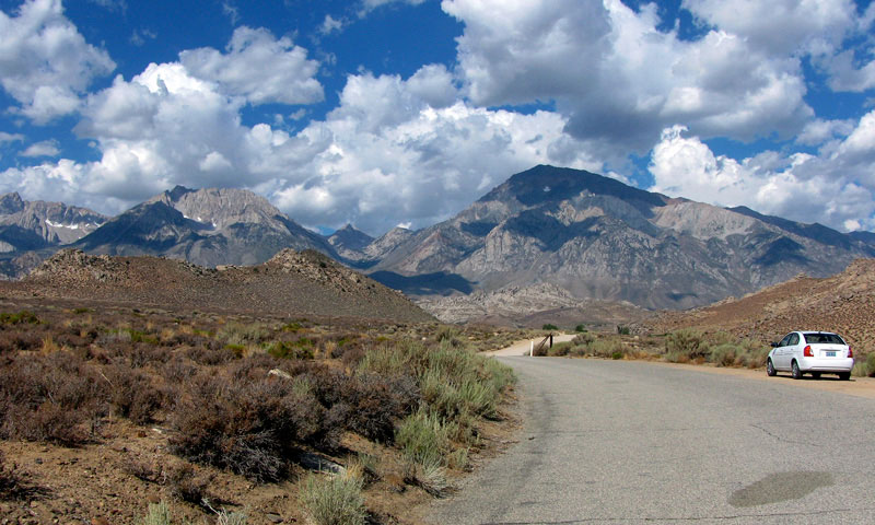
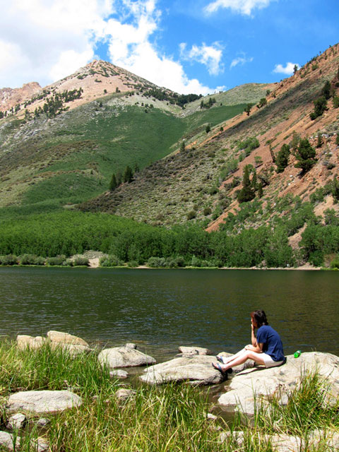
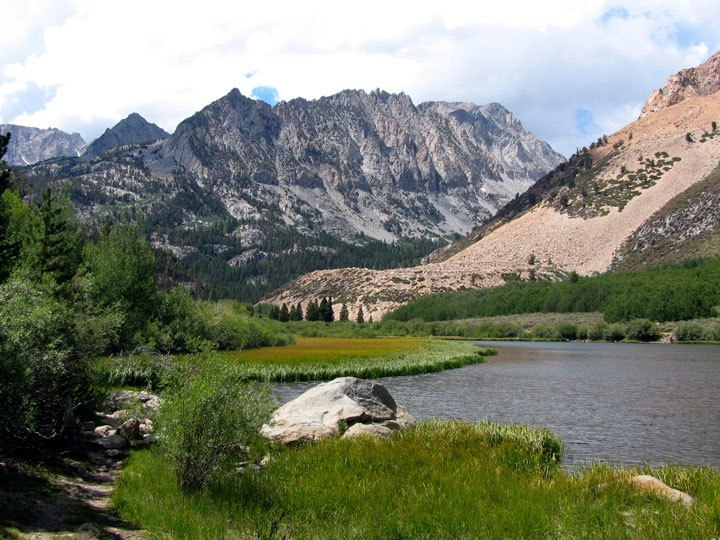
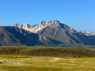
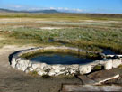
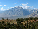
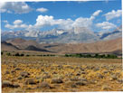
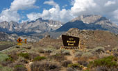
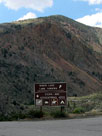
Mount Morrison and Laurel Mountain
from Hilltop Hot Spring |
|
|
 |
|
 |
|
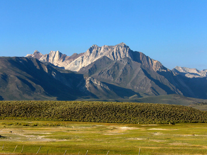
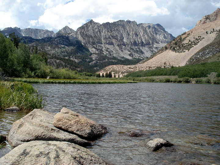
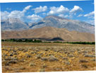
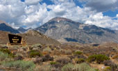
Mount Morrison and Laurel Mountain
from Hilltop Hot Spring |
|
|
|
|
|
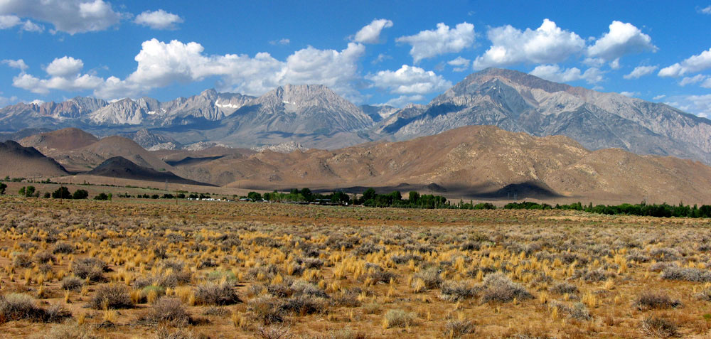
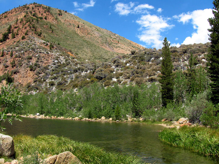
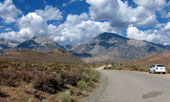
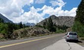
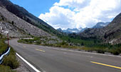
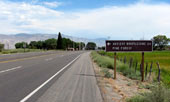
| Benton Crossing Road |
|
 |
|
 |
|
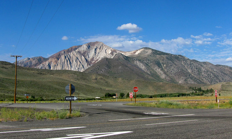
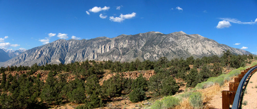
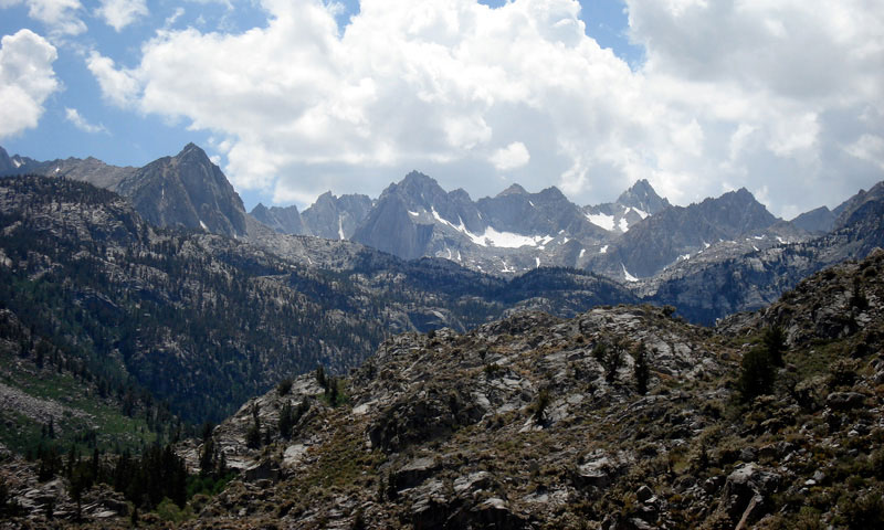
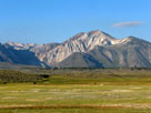
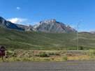
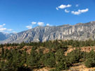
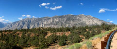
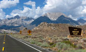
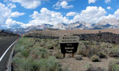
Mount Morrison and
Highway 395 from
Benton Crossing Road |
|
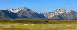
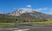
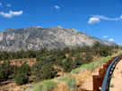
Laurel Mountain
and Highway 395 |
|
|
|
|
| Highway 395 (U.S. Route 395) |
|
 |
|
 |
|
 |
|
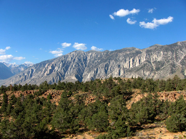
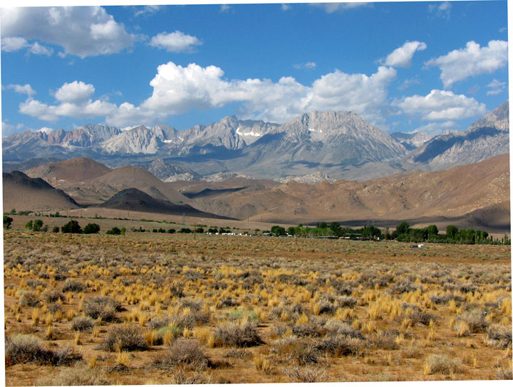
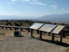
Owens Valley from Vista
Point off Highway 395 |
|
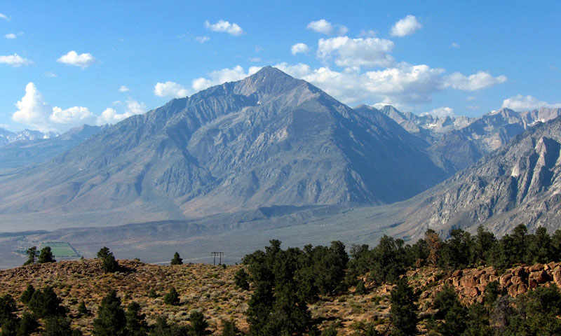
Mount Tom
from Vista Point |
|
|
 |
|
 |
|
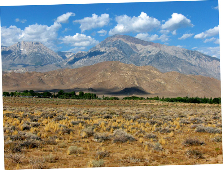
| Wheeler Ridge from Vista Point off Highway 395 |
|
|
 |
|
Wheeler Ridge from
Vista Point off Highway 395 |
|
|
|
|
| Ed Powers Road |
|
 |
|
|
 |
|
 |
|
Mount Humphreys, Basin Mountain and Mount Tom
from Ed Powers Road off Highway 395 |
|
|
 |
|
Mount Humphreys, Basin
Mountain and Mount Tom from
Ed Powers Road off Highway 395 |
|
|
|
|
|
|
|
|
|
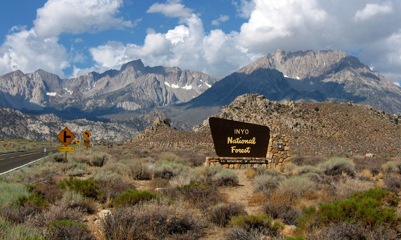
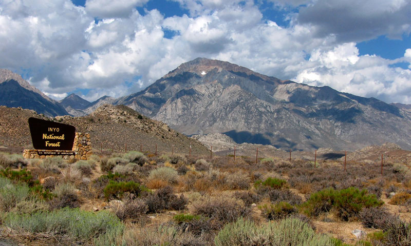
| Highway 168 (California State Route 168) |
|
 |
|
|
|
Basin Mountain, Mount Tom
and Buttermilk Road
off Highway 168 |
|
|
|
 |
|
 |
|
Mount Humphreys and Basin Mountain
from Highway 168 |
|
|
 |
|
|
|
Mount Tom
from Highway 168 |
|
|
|
|
|
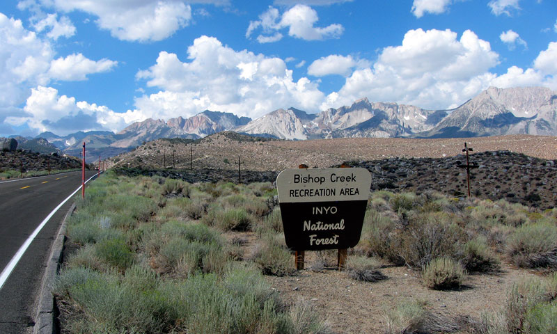
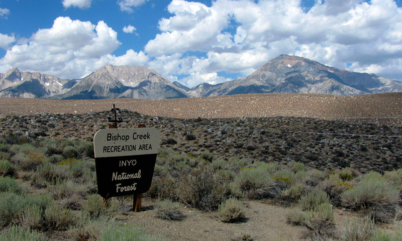
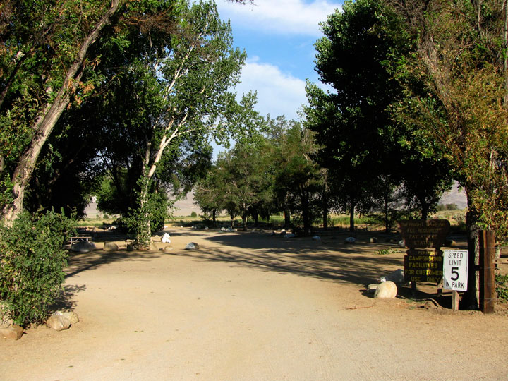
| Bishop Creek Recreation Area |
|
 |
|
 |
|
Checkered Demon, Mount
Humphreys and Basin
Mountain from Highway 168 |
|
Basin Mountain and Mount
Tom from Highway 168 |
|
|
 |
|
 |
|
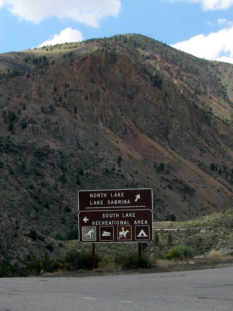
South Lake Road
and Highway 168 |
|
|
|
|
|
|
|
|
 |
|
 |
|
 |
|
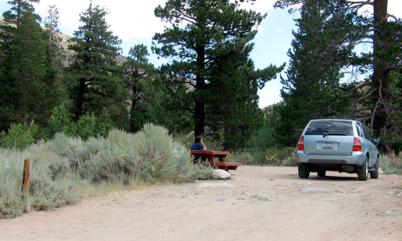
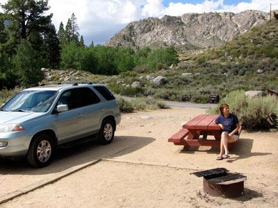
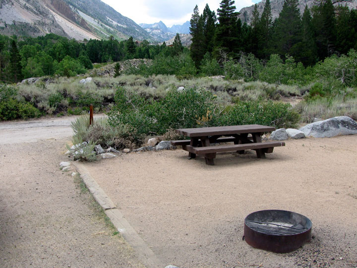
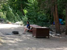
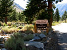
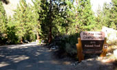
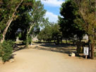
Bishop Park
Campground, Site #7 |
|
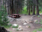
Site #10 |
|
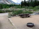
Site #1 |
|
|
 |
|
 |
|
 |
|
Bishop Park Campground entrance
from Highway 168 |
|
|
|
|
|
| Highway 168 (California State Route 168) |
|
 |
|
 |
|
Bishop Park Group
Campground entrance
off Highway 168 |
|
Highway 168 from near Bishop
Park Campground entrance |
|
|
 |
|
 |
|
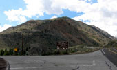
Jawbone Canyon
from Highway 168 |
|
Highway 168 (west)
and North Lake Road |
|
|
|
|
|
|
|
|
|
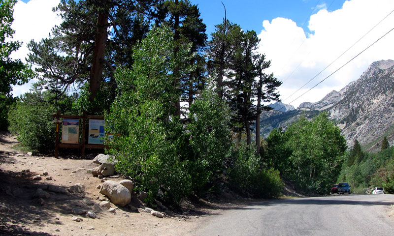
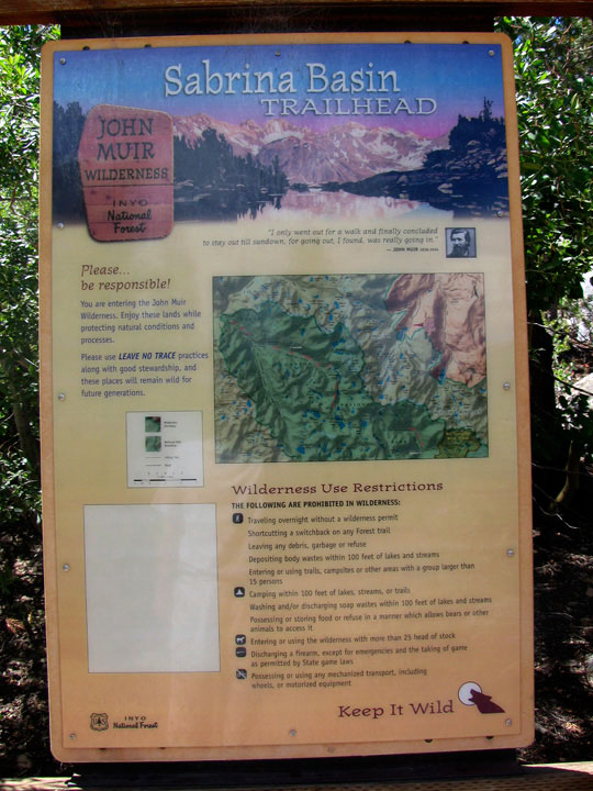
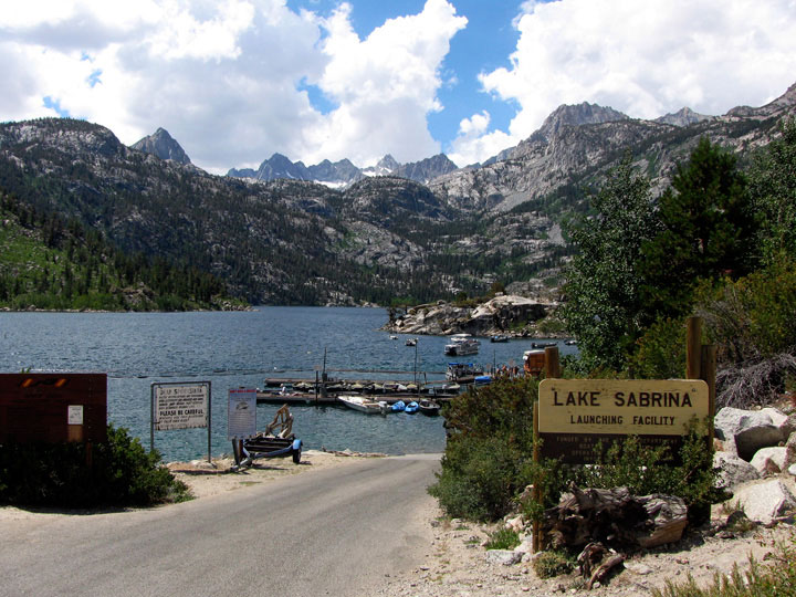
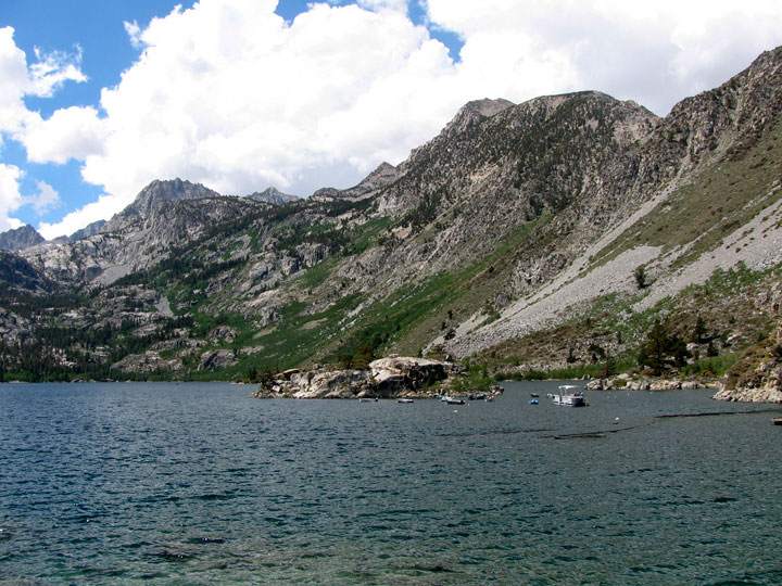
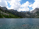
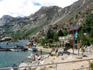
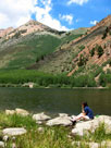
| Lake Sabrina |
|
 |
|
 |
|
Lake Sabrina and
Sabrina Boating Site |
|
Picture Peak, Mount
Haeckel and Lake Sabrina |
|
|
 |
|
 |
|
 |
|
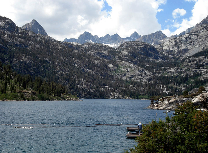
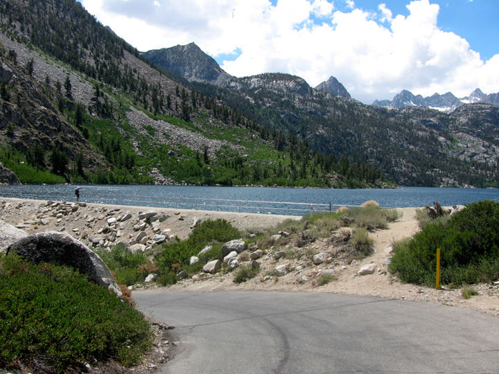
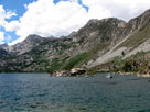
| Lake Sabrina from Sabrina 104-032 Dam |
|
Picture Peak
and Mt. Haeckel |
|
|
 |
|
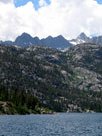
| Lake Sabrina from Sabrina 104-032 Dam |
|
|
 |
|
 |
|
 |
|
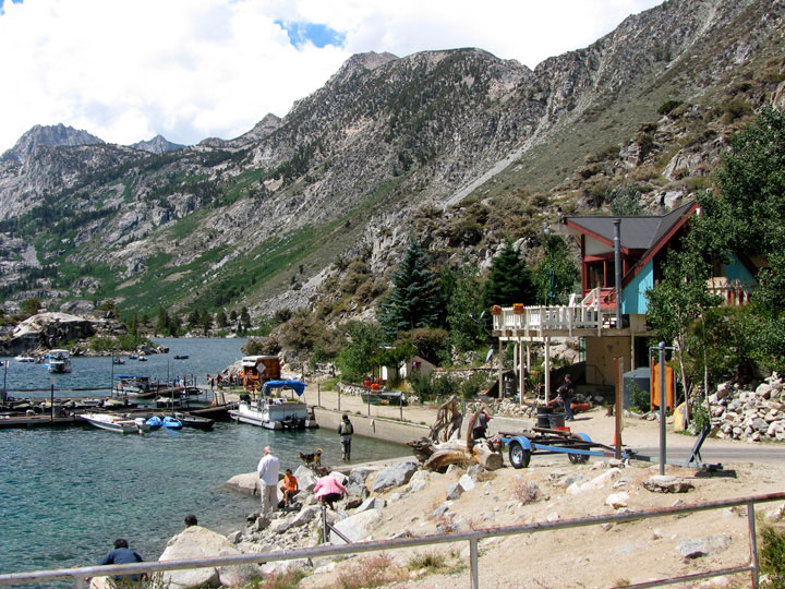
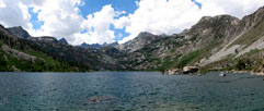
| Lake Sabrina Boat Landing from Sabrina 104-032 Dam |
|
Lake Sabrina Boat Landing |
|
|
|
|
|
|
|
|
|
|
|
|
 |
|
 |
|
 |
|
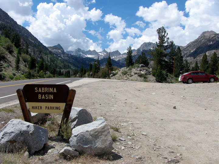
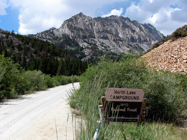
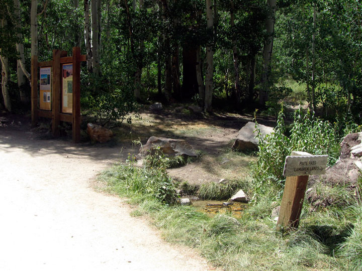
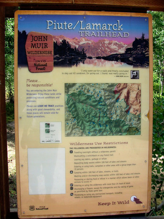
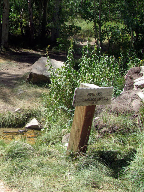
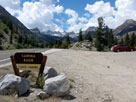
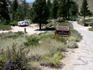
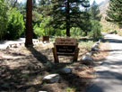
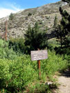
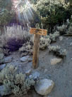
Piute Pass Trailhead
(Lamarck Lakes Trailhead)
in North Lake Campground |
|
|
|
|
|
|
|
|
 |
|
 |
|
 |
|
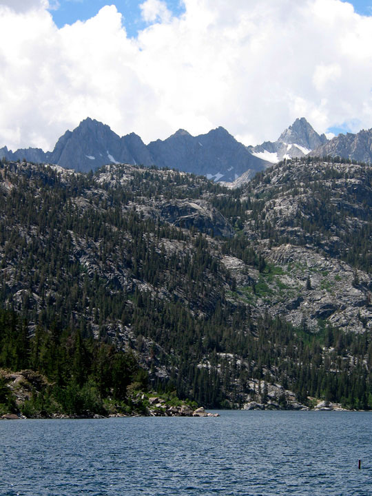
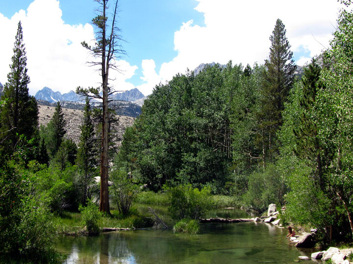
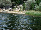
| North Fork Bishop Creek below North Lake |
|
|
 |
|
 |
|
 |
|
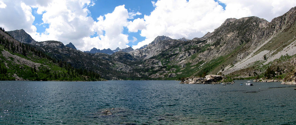
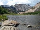
| North Lake |
|
Peak 10,594 and
North Lake outlet (North
Fork Bishop Creek) |
|
|
|
 |
|
 |
|
 |
|
| Piute Crags and North Lake |
|
|
 |
|
|
|
North Lake Road (toward
North Lake Campground)
near North Lake |
|
|
|
|
|
| North Lake Road |
|
 |
|
 |
|
| North Lake Road |
|
Picture Peak, Mount
Haeckel and Lake Sabrina
from North Lake Road |
|
|
 |
|
|
|
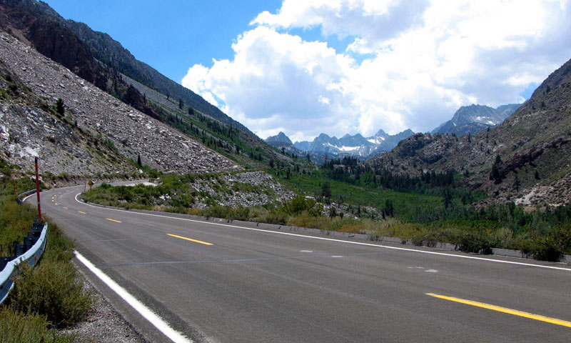
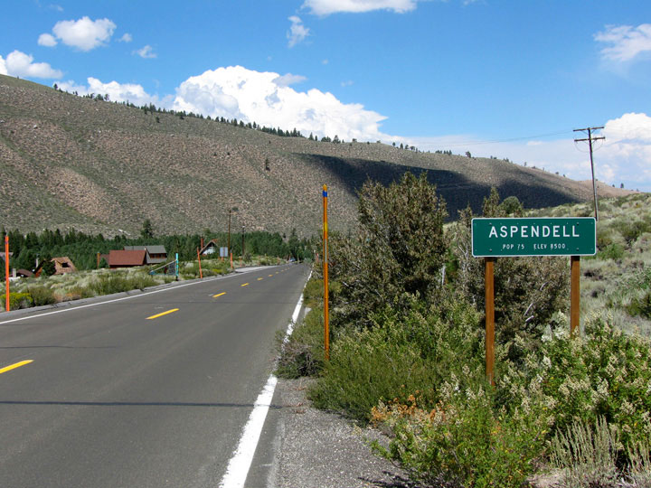
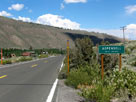
Aspendell, Jawbone
Canyon and Highway 168
from North Lake Road |
|
|
|
|
|
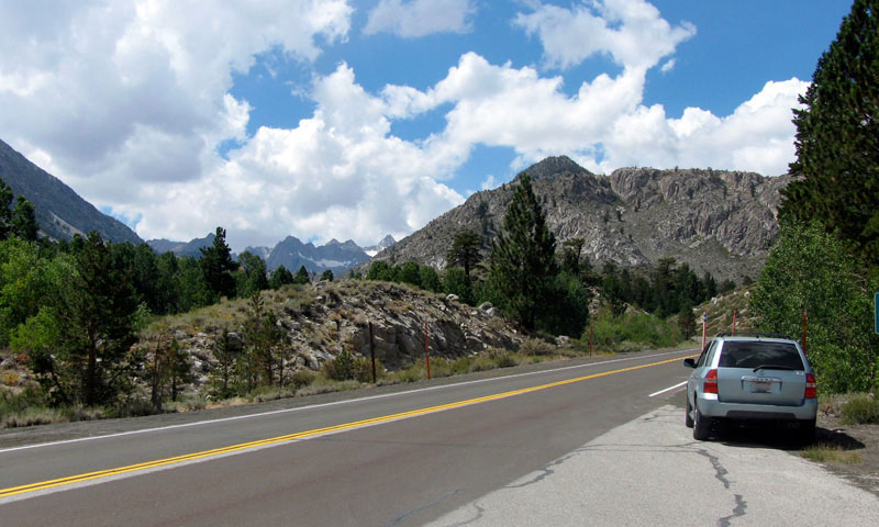
| Highway 168 (California State Route 168) |
|
 |
|
 |
|
Highway 168 and Jawbone
Canyon above Aspendell |
|
Highway 168 (east)
and Aspendell |
|
|
|
|
| Intake II (Intake No. 2) |
|
 |
|
 |
|
Bishop Creek 104-033
Dam and Intake II
(Intake 2 Picnic Site) |
|
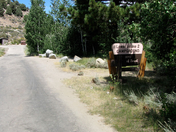
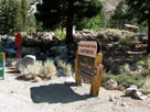
Lower Intake 2
Campground entrance |
|
|
 |
|
 |
|
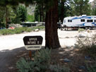
| Upper Intake 2 Campground |
|
|
|
|
|
|
|
|
|
|
|
|
|
|
|
|
|
 |
|
 |
|
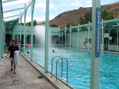
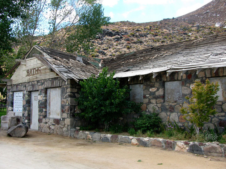
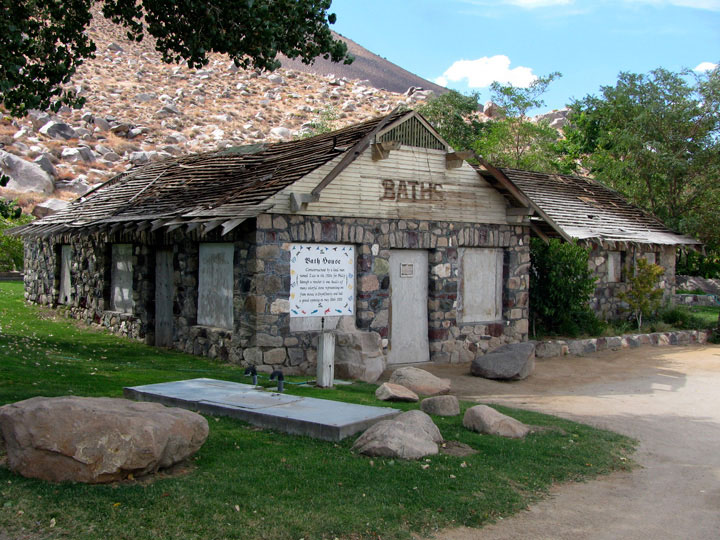
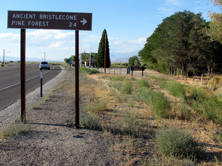
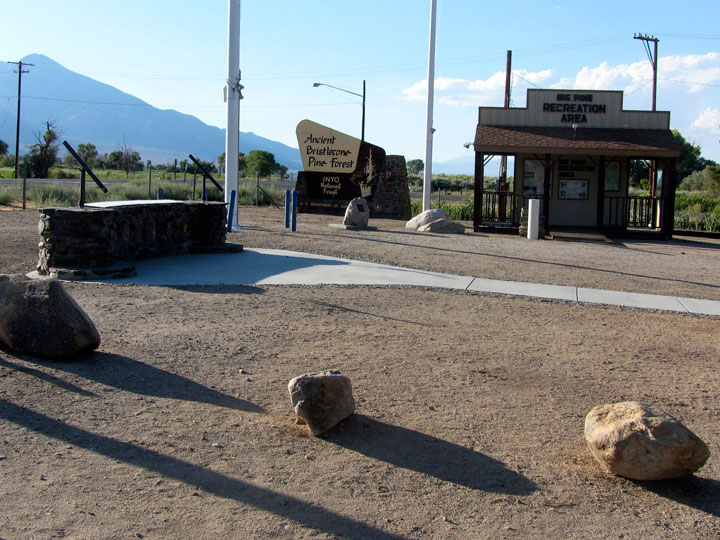
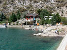
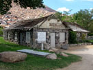
| Old bath house, Keough Hot Springs |
|
|
|
|
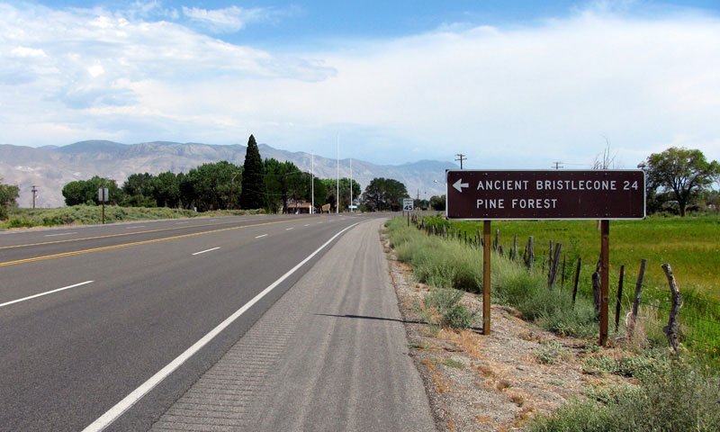
| Highway 395 (U.S. Route 395) |
|
 |
|
 |
|
Highway 395 (south)
near Big Pine |
|
Big Pine and
Highway 395 (south) |
|
|
|
|
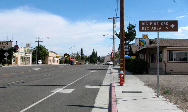
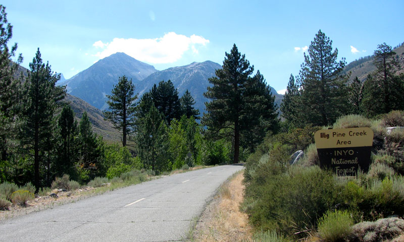
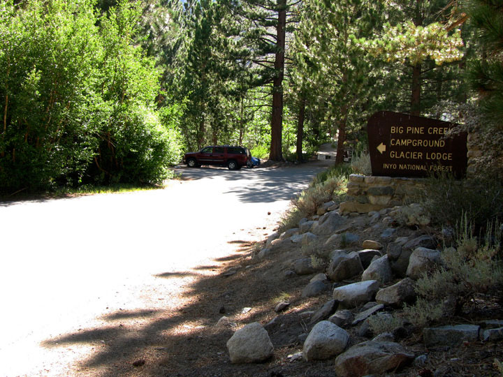
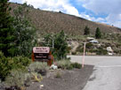
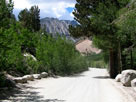
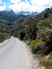
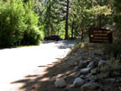
| Glacier Lodge Road from Big Pine |
|
 |
|
 |
|
 |
|
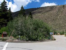
Glacier Lodge Road into Big
Pine Creek Recreation Area |
|
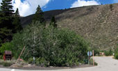
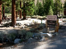
Sage Flat Campground
entrance and Glacier
Lodge Road |
|
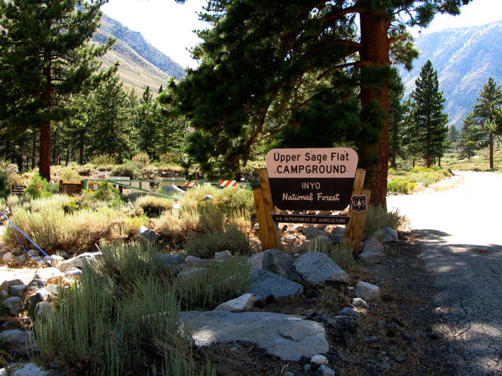
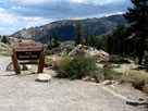
Upper Sage Flat
Campground entrance |
|
|
 |
|
 |
|
Palisade Glacier
Group Campground
from Glacier Lodge Road |
|
Clyde Glacier
Group Campground |
|
|
 |
|
 |
|
 |
|
Mt. Gayley(?), Mt. Alice(?)
and Glacier Lodge Road |
|
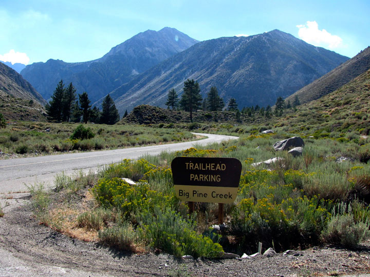
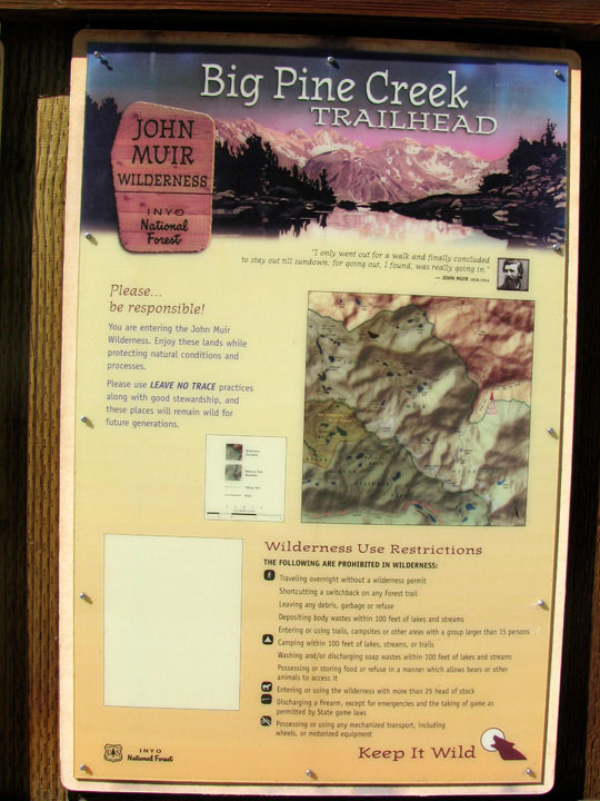
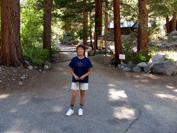
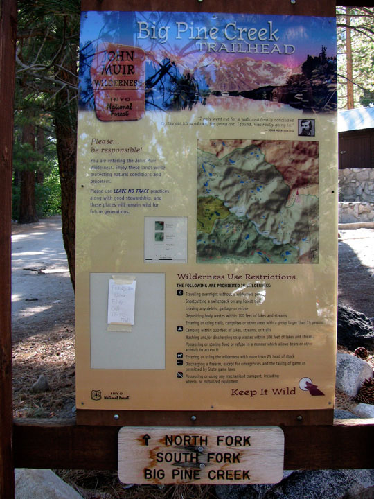
Big Pine Creek Trailhead
(North Fork Big Pine
Creek Trailhead) |
|
|
|
 |
|
 |
|
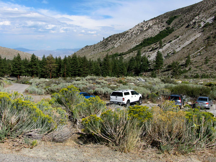
Glacier Lodge Roadend
(Big Pine Creek Picnic Site) |
|
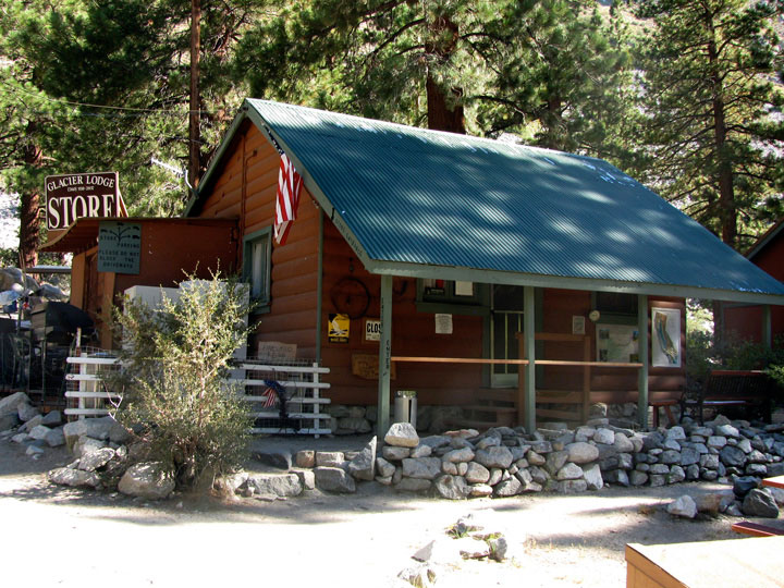
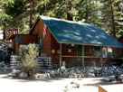
Glacier Lodge |
|
|
 |
|
 |
|
 |
|
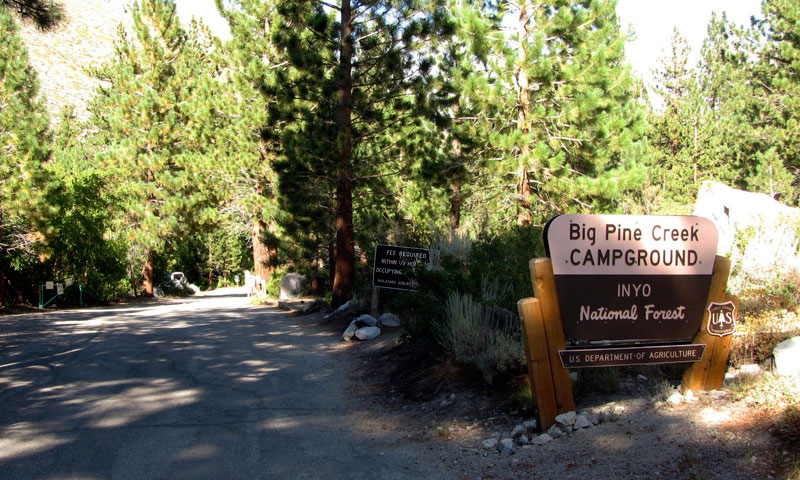
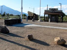
Big Pine Creek
Campground entrance |
|
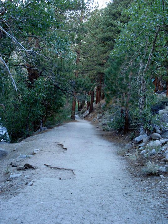
Streamside Trail
from Big Pine
Creek Campground |
|
|
|
|
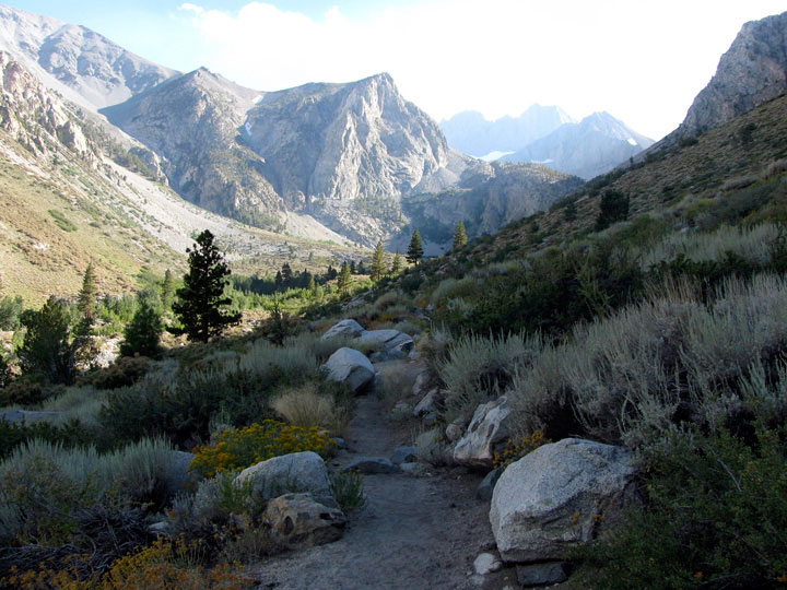
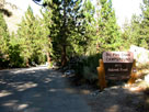
| South Fork Trail (South Fork Big Pine Creek Trail) |
|
 |
|
 |
|
|
Big Pine Creek Trailhead
(Big Pine Creek South
Fork Trailhead) |
|
|
|
 |
|
 |
|
 |
|
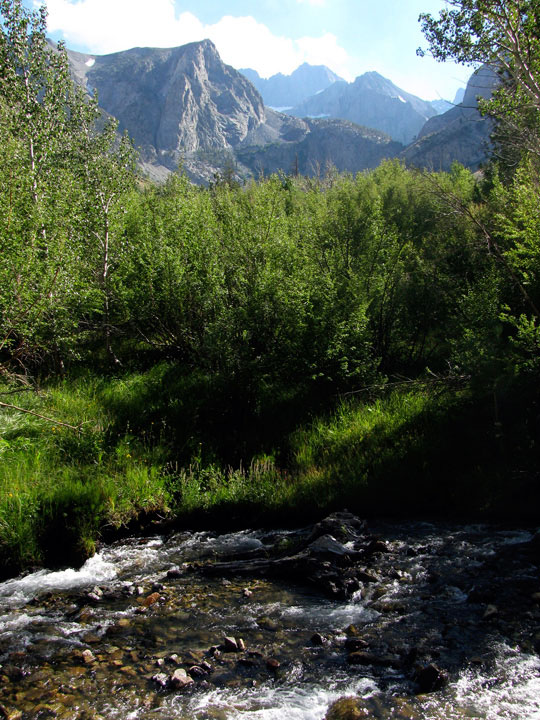
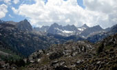
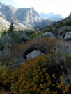
Middle Palisade
and North Fork
Big Pine Creek |
|
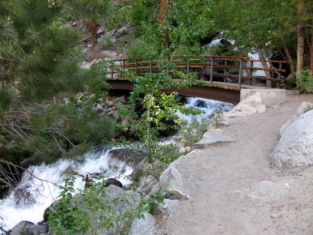
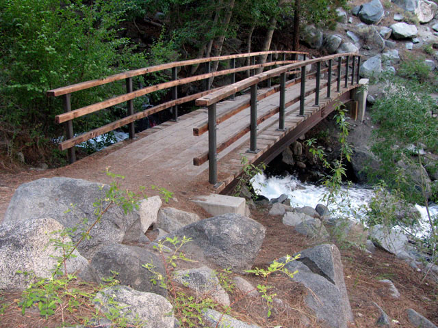
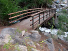
Footbridge over North
Fork Big Pine Creek |
|
|
 |
|
 |
|
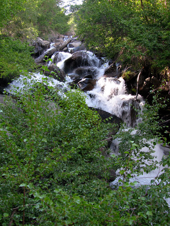
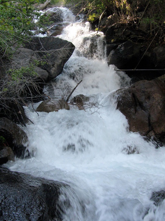
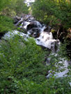
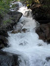
| North Fork Big Pine Creek from footbridge |
|
|
 |
|
 |
|
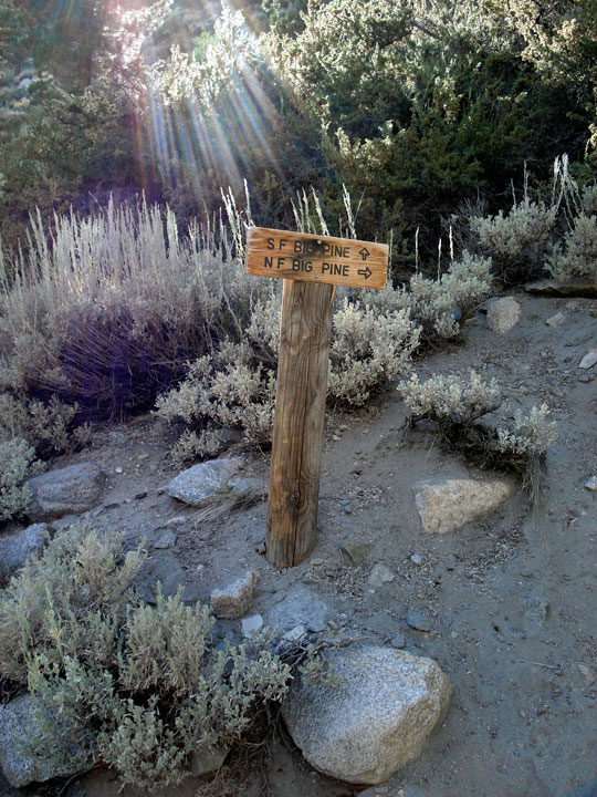
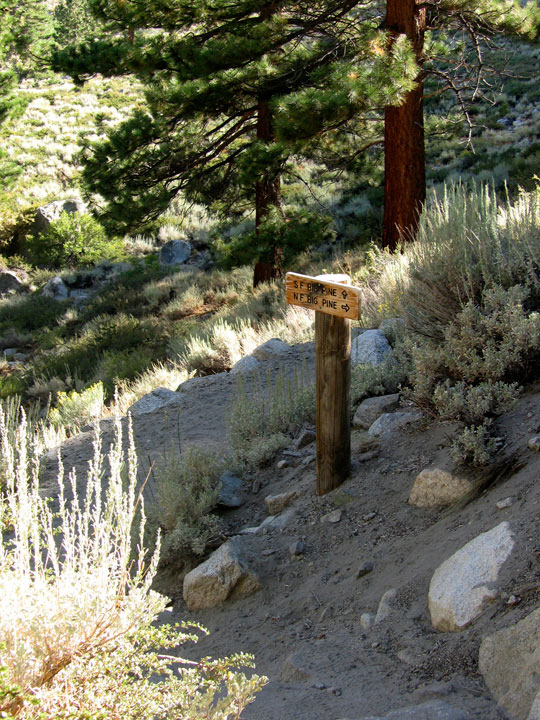
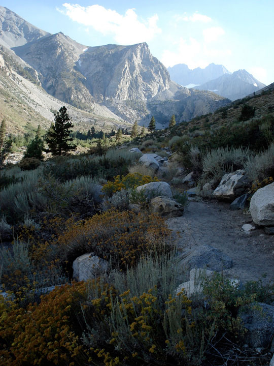
| South Fork Trail and North Fork Trail |
|
|
|
|
|
|
|
 |
|
 |
|
|
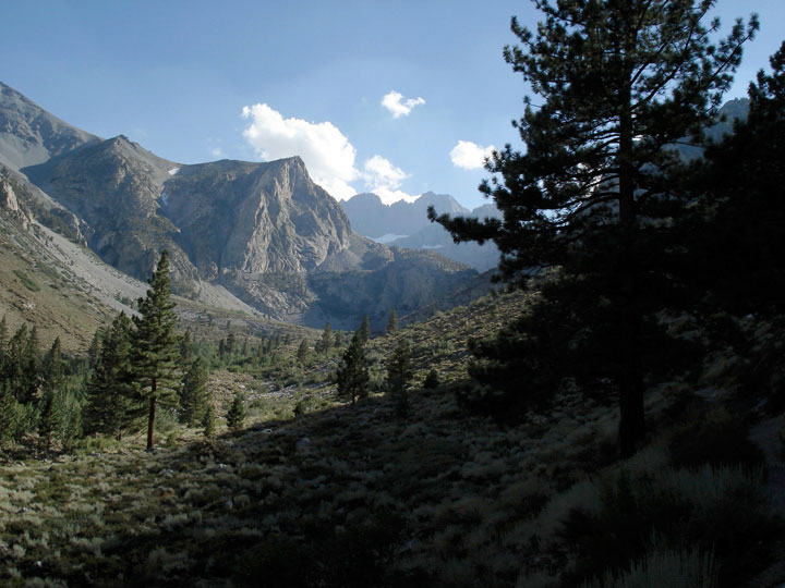
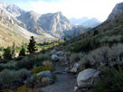
Middle Palisade from
South Fork Trail |
|
|
 |
|
 |
|
 |
|
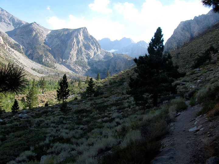
| Middle Palisade from South Fork Trail |
|
|
 |
|
 |
|
 |
|
 |
|
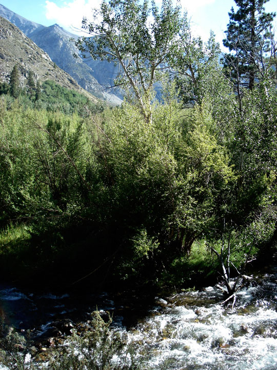
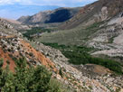
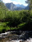
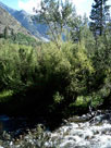
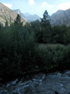
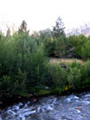
| North Fork Big Pine Creek |
|
North Fork Big Pine Creek |
|
|
|
|
|
|
|
|
|
|
|
|
|
|
|
|
|
|
|
|
|
|
 |
|
 |
|
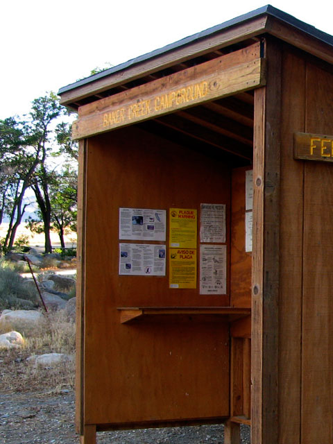
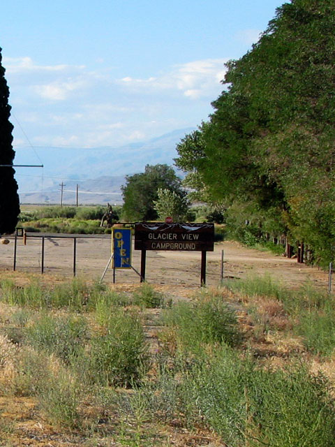
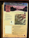
Big Pine Triangle
County Park |
|
Glacier View Campground |
|
|
|
|
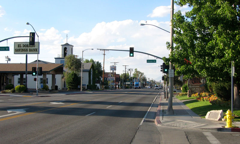
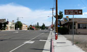
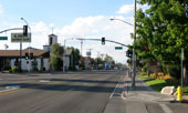
| Bishop |
|
 |
|
|
|
Bishop and
Highway 395 (north) |
|
|
|
|
|
|
|
|
|
|
|
|
|
|
|
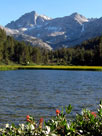
| Day 2 - South Lake & Little Lakes Valley |
|
 |
|
 |
|
 |
|
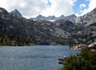
South Lake from
Hillside 104-030 Dam |
|
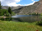
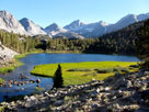
Bear Creek Spire
and Marsh Lake |
|
Bear Creek Spire
and Heart Lake |
|