| Matterhorn Peak |
 |
|
|
|
| Articles/Directories |
 |
 |
 |
 |
 |
 |
 |
 |
 |
 |
 |
|
 |
 |
 |
 |
 |
 |
 |
 |
 |
 |
 |
|
| Outdoor & Adventure |
 |
 |
 |
 |
 |
 |
 |
 |
 |
 |
|
 |
 |
 |
 |
|
 |
|
| Trip Reports |
|
 |
 |
 |
 |
 |
 |
|
| Maps |
 |
 |
 |
 |
 |
 |
 |
 |
 |
 |
 |
 |
 |
|
 |
 |
 |
 |
|
|
| Photo Galleries |
|
|
 |
|
 |
|
 |
|
 |
|
| Photos |
|
|
|
 |
 |
 |
|
|
|
 |
 |
|
|
| Searches |
 |
|
|
|
|
|
|
 |
|
|
|
 |
|
 |
|
 |
|
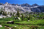
Matterhorn Peak
from Burro Pass |
|
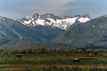
Matterhorn Peak
and Sawtooth Ridge
from Twin Lakes Road |
|
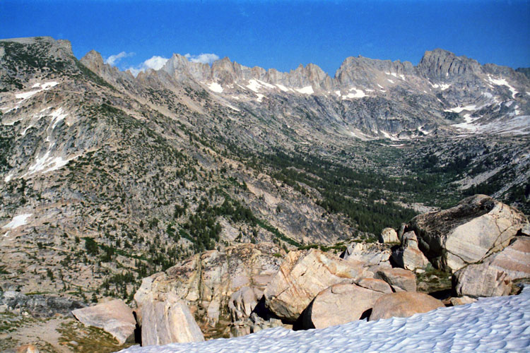
Mt. Conness and Mt. Lyell
from Matterhorn Peak summit |
|
|
|
|
|
|
|
|
 |
|
 |
|
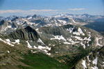
Sawtooth Ridge
and Matterhorn Peak
from Mule Pass |
|
Sawtooth Ridge
from Burro Pass Trail |
|
|
|
|
|
|
|
|
|
|
|
|
|
|
 |
|
 |
|
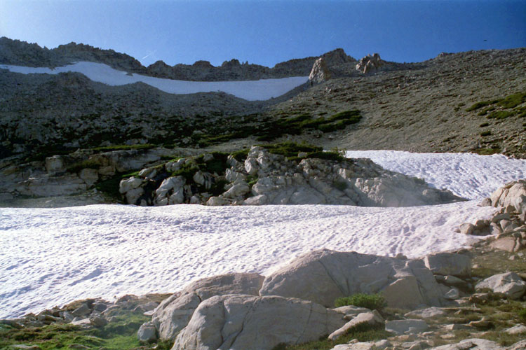
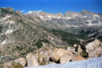
Southwest side of
Matterhorn Peak
and Burro Pass |
|
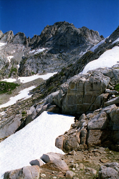
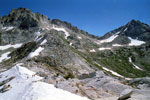
Southeast slope of
Matterhorn Peak |
|
|
|
|
|
|
|
|
 |
|
|
|
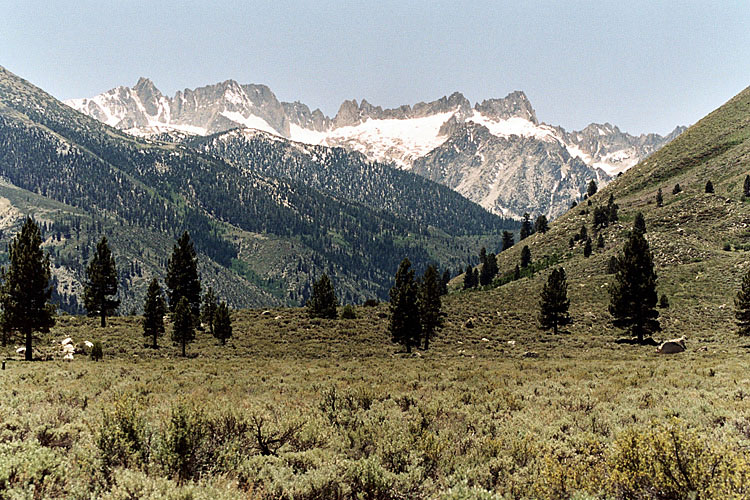
Matterhorn Peak, Sawtooth
Ridge and Matterhorn Glacier
from Highway 395 |
|
|